 York Illustrated
Castle Mills Bridge was built in 1955 and 1956 to carry Tower Street (part of York's Inner Ring Road) across the River Foss (aka the Foss Navigation).
The name refers to the flour mills that once stood beside the River Foss, close to earlier versions of the bridge (see Image 3). The southern carriageway of the inner ring road lies on the approximate alignment of an eleventh century dam. The dam was built to flood the defensive ditches around York Castle by raising the level of the River Foss, thereby creating a moat. The dam also created a lake further upstream known as the King's Fishpond.
Image 1
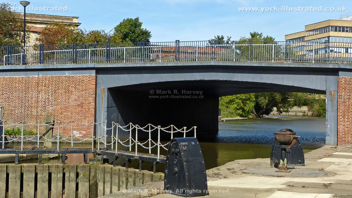
Image 2
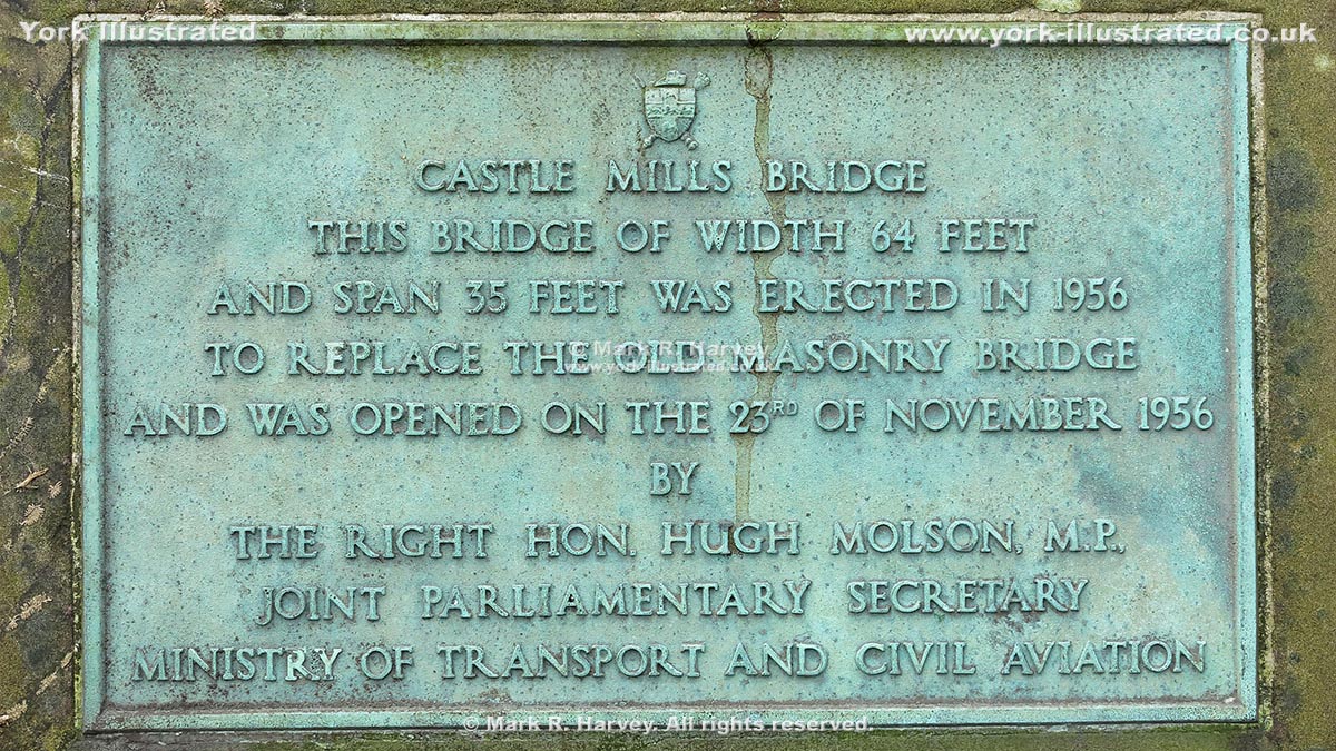
Image 3
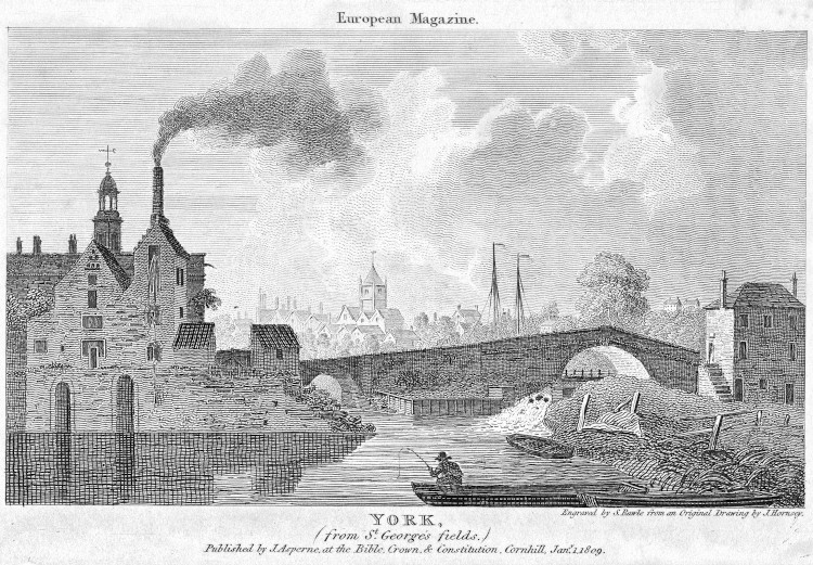
©The Trustees of the British Museum (asset no. 1613643377 -see footnote 2).
Footnotes
[1] The text on the commemorative plaque reads:
CASTLE MILLS BRIDGE
THIS BRIDGE OF WIDTH 64 FEET
AND SPAN 35 FEET WAS ERECTED IN 1956
TO REPLACE THE OLD MASONRY BRIDGE
AND WAS OPENED ON THE 23RD NOVEMBER 1956
BY
THE RIGHT HON. HUGH MOLSEN, M.P.,
JOINT PARLIAMENTARY SECRETARY
MINISTRY OF TRANSPORT AND CIVIL AVIATION.
[2] This image is a 'derived work' based on a digital image file downloaded from the British Museum's online catalogue, which can be accessed via the following external link:
https://www.britishmuseum.org/collection
To create the version used on the York Illustrated website, the original image was straightened, trimmed, converted to greyscale and resized. The original image and this version are both © The Trustees of the British Museum and both are subject to the CC BY-NC-SA 4.0 license - see:
http://creativecommons.org/licenses/by-nc-sa/4.0/
The text above the image reads:
European Magazine
The text below the image reads:
YORK,
(from St. George's fields.)
Engraved by S. Rawle from an Original Drawing by J. Hornsey.
Published by J. Asperne, at the Bible, Crown & Constitution. Cornhill, Jany. 1. 1809.