The Gazetteer provides illustrated introductions to hundreds of 'free-to-view' and 'not-for-profit' locations that you might like to seek-out during a real-world sightseeing visit to the historic city of York.

By default, every location in the database is listed. If desired, set the star rating, place type OR zone filter below, then click / tap on the 'Apply Filters' button to restrict the list to the matching locations.

Show / hide tips below.
  • To speed-up page-loading, a maximum of 24 locations are displayed on each page.
  • If more than 24 locations match the filter settings, click / tap on the page navigation buttons (located below the list) to display the additional page(s).
  • The locations are listed in alphabetical order of the place name (reading from top-left to bottom-right).
  • To avoid frustrating 'nil returns', use one filter only (leaving the others set to 'Any').
  • To view a larger version of an image, click on its thumbnail. If you are using a device with a screen width of 400px or more and with JavaScript enabled, you should be able to view the images in a slideshow overlay.
    (NB: The slideshow will not run on devices with a screen width of less than 400px, or if you attempt to open it in a new window.)
  • To access the geolocation details and view all available information for a location, click / tap on its place name or 'Read more' button.
  • If a 'Read more' button is provided, a brief article and / or a high quality external link is also available.

49 to 51 Goodramgate and the Wealden Hall

Photo as per caption. Opens larger version.

Number 49-51 Goodramgate dates from circa 1500. The "Wealden Hall" (in Powell's Yard to the rear) is a building style rarely found outside Kent / Sussex.

American Indian Carving

Photo as per caption. Opens larger version.

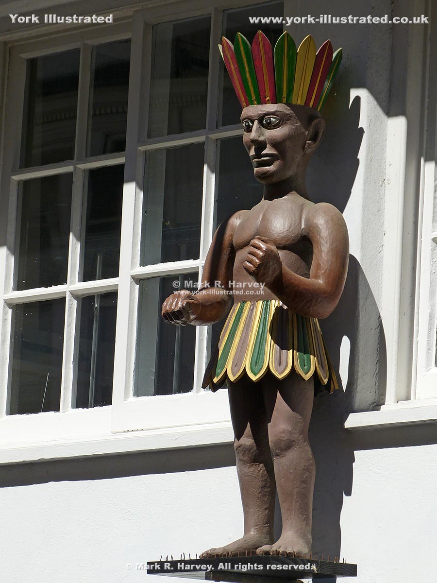
The painted wooden carving known locally as 'the American Indian' was originally created to identify and promote a tobacconist's business at 76 Low Petergate.

Read more

Anne Middleton's Hospital

Photo as per caption. Opens larger version.

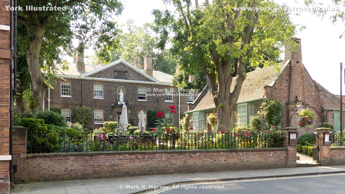
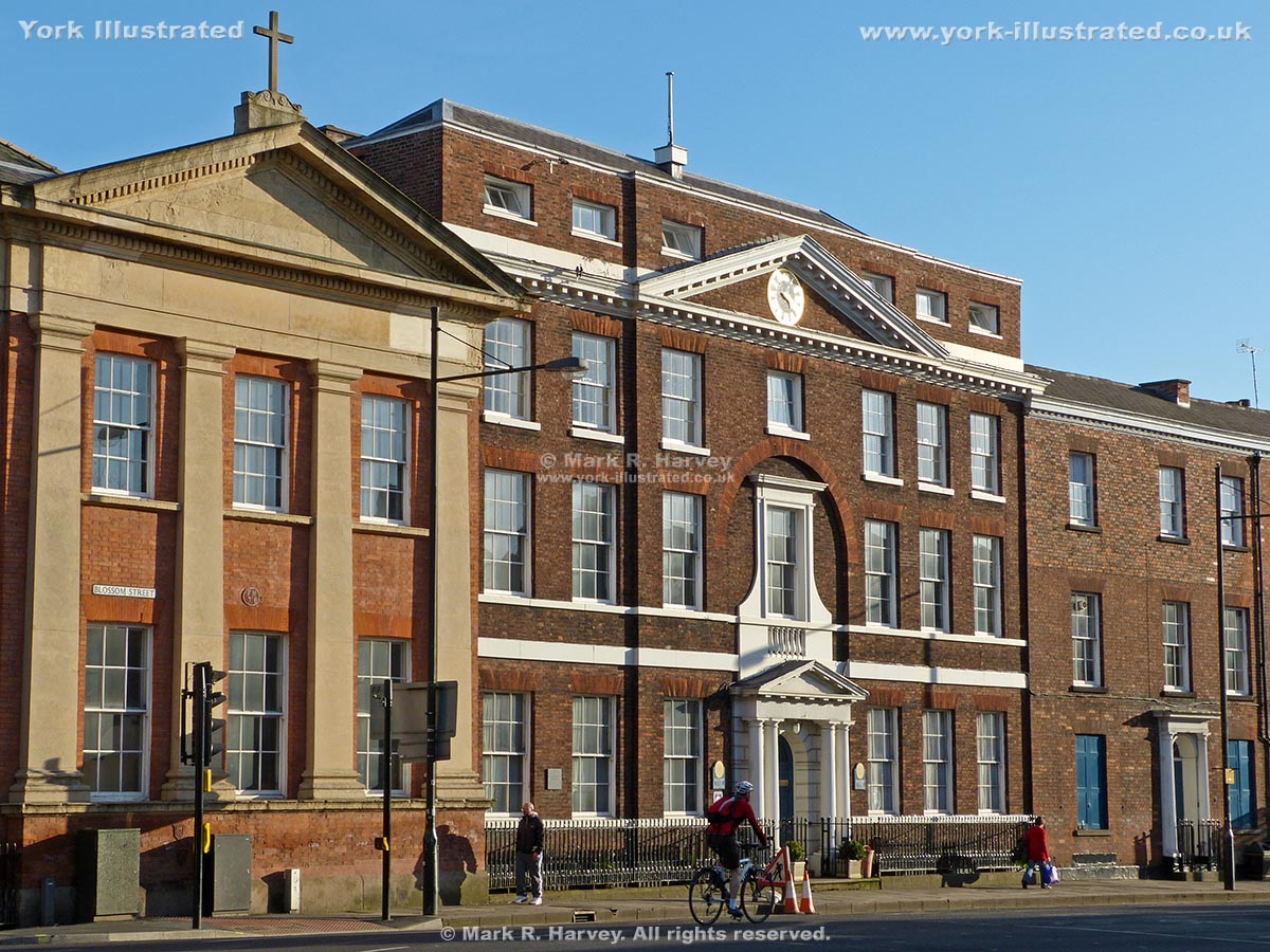
Anne Middleton's Hospital was constructed in 1827–9 as an almshouse to provide sheltered accomodation for the widows of up to 20 freemen of the city of York.

Read more

Arcade of former Archbishops' Palace aka the Kohima Memorial

Photo as per caption. Opens larger version.

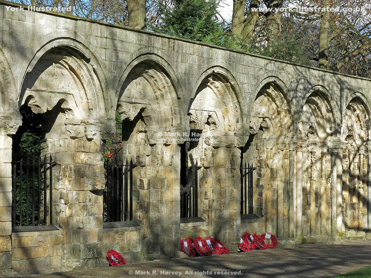
This attractive magnesian limestone wall in Dean's Park once formed part of an arcade associated with the 12th century palace used by the Archbishops of York.

Read more

Archway Signal Box Building

Photo as per caption. Opens larger version.

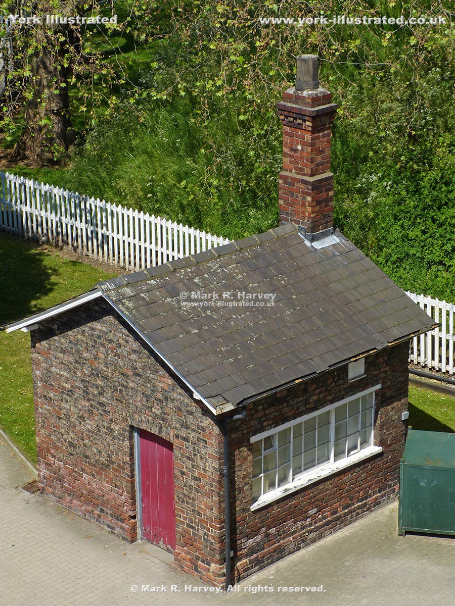
Archway Signal Box was built circa 1841 by the York & North Midland Railway Company to control train movements into and out of its nearby railway station.

Artist's Garden

Photo as per caption. Opens larger version.

The Artist's Garden is a pleasant outdoor space designed specifically to display temporary art installations and to host occassion outdoor arts events.

Read more

Assize Courts Building (now York Crown Court)

Photo as per caption. Opens larger version.

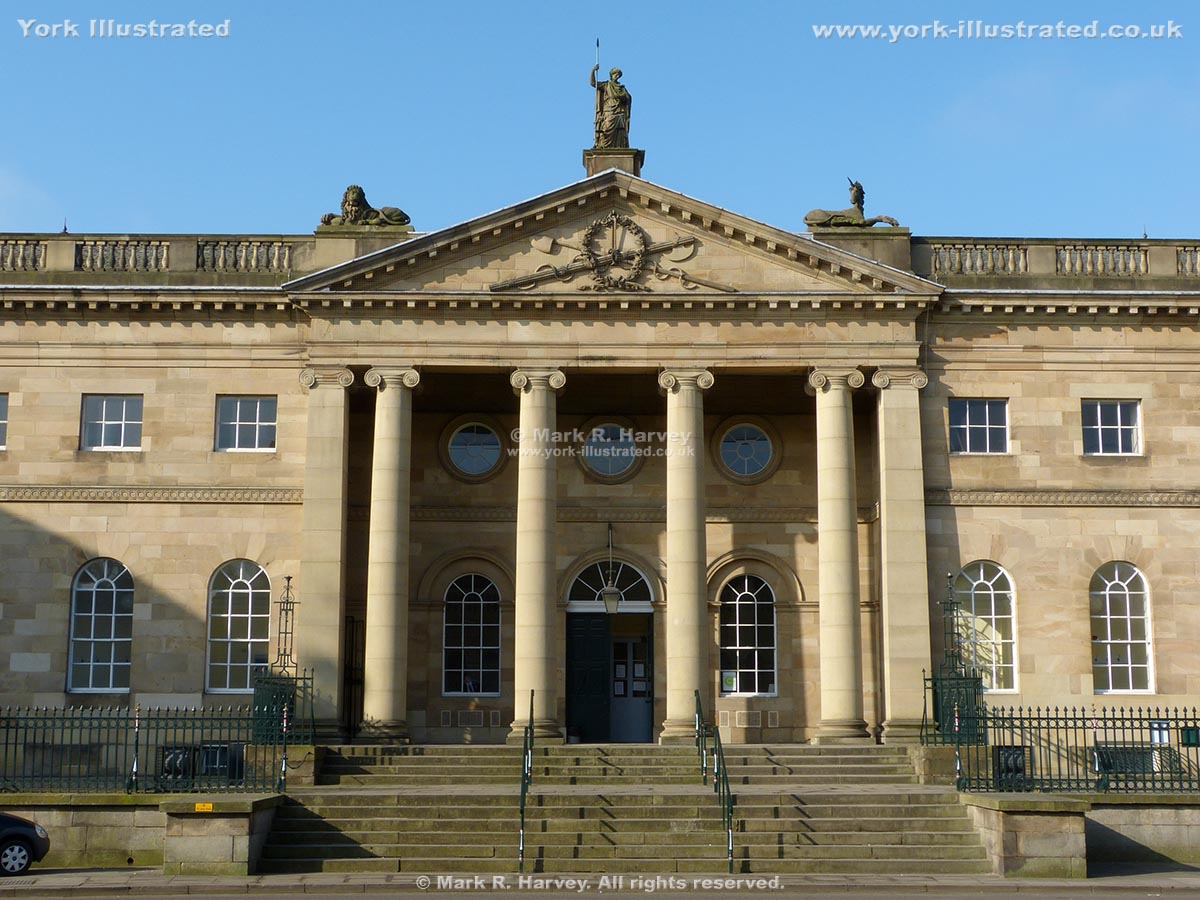
York Castle has been used to dispense 'justice' for almost 1,000 years. The Assize Courts Building in the inner-bailey was constructed between 1773 and 1777.

Read more

Baile Hill (aka The Old Baille)

Photo as per caption. Opens larger version.

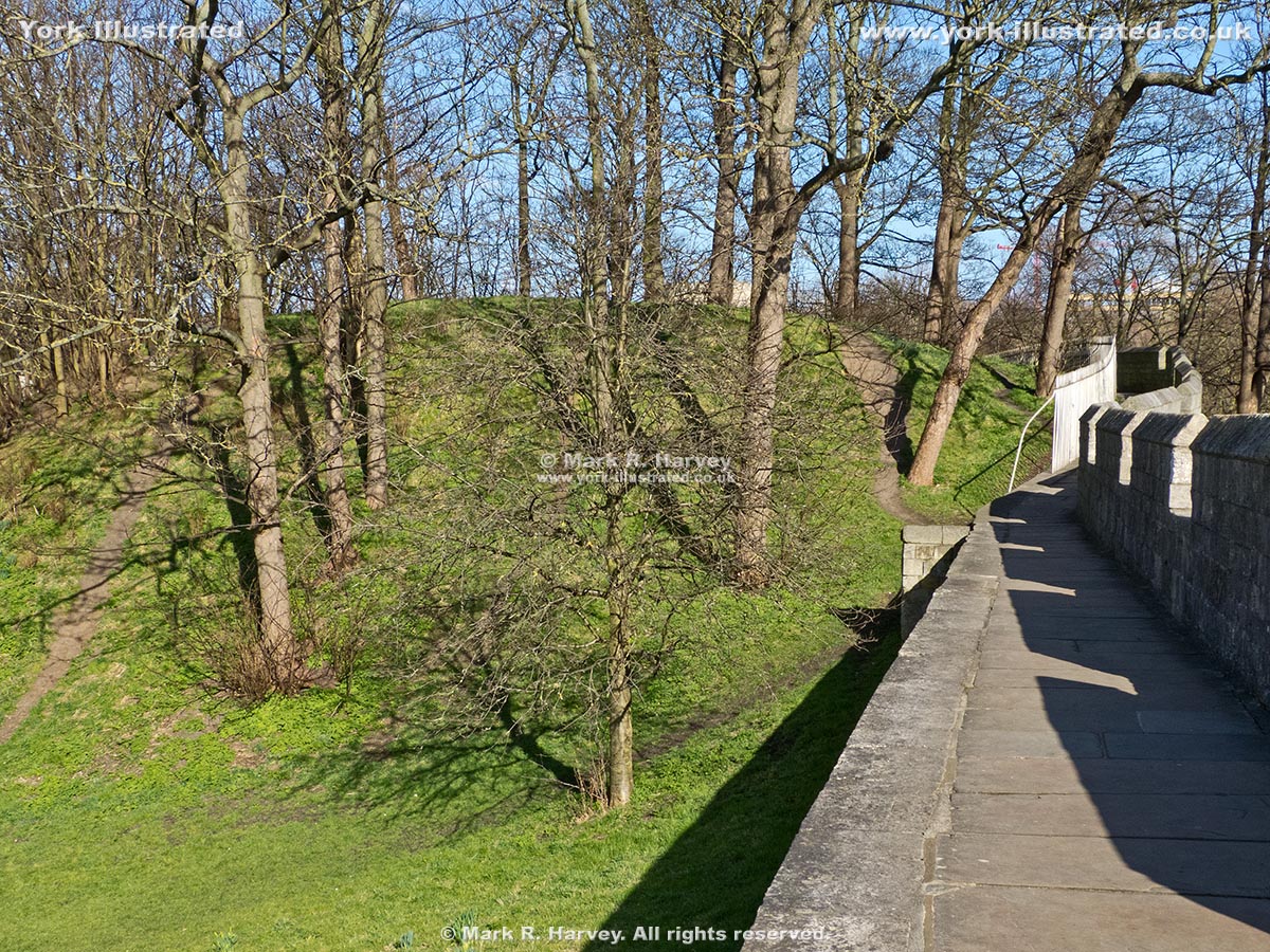
During the 11th century, York boasted two 'motte and bailey' fortifications, one on each side of the River Ouse. Baile Hill is the motte of the western one.

Bar Convent and Bar Convent Museum

Photo as per caption. Opens larger version.

The Bar Convent has been a religious institution since 1686. The cafe, exhibition, priest hole and hidden chapel are highly recommended.

Read more

Barker Tower (aka North Street Postern Tower)

Photo as per caption. Opens larger version.

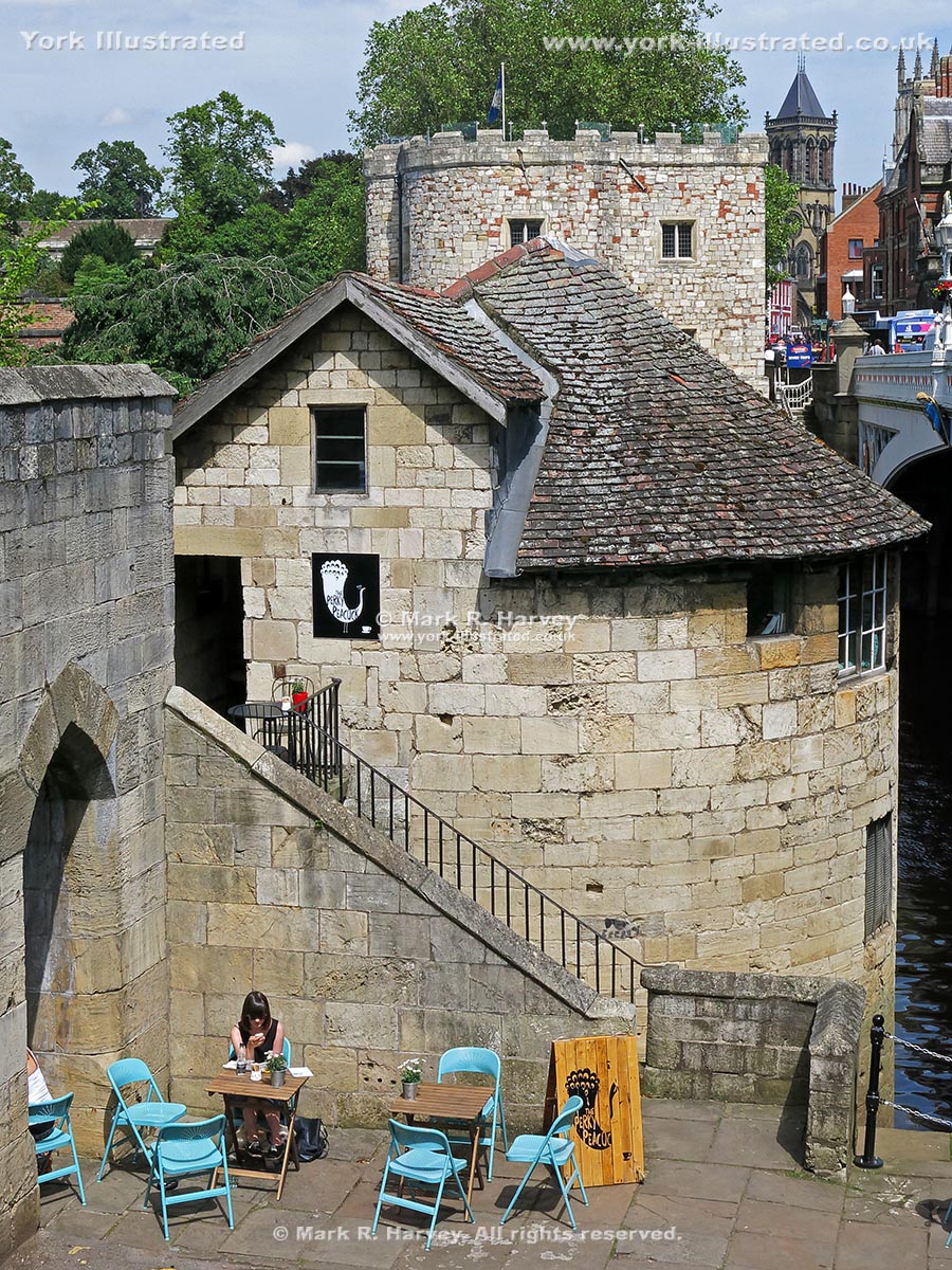
Barker Tower was built during the mid-14th century. The Leonard's Landing ferrymen lived here until 1863. Since then it has been a mortuary, storeroom and cafe (although not all at the same time).

Read more

Barley Hall

Photo as per caption. Opens larger version.

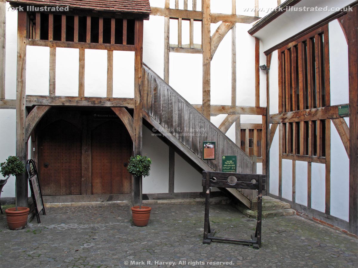
Built in phases from c1360 onwards, Barley Hall has been a hostel for the Priors of Nostell Priory, the home of a wealthy York goldsmith and a plumber's yard.

Read more

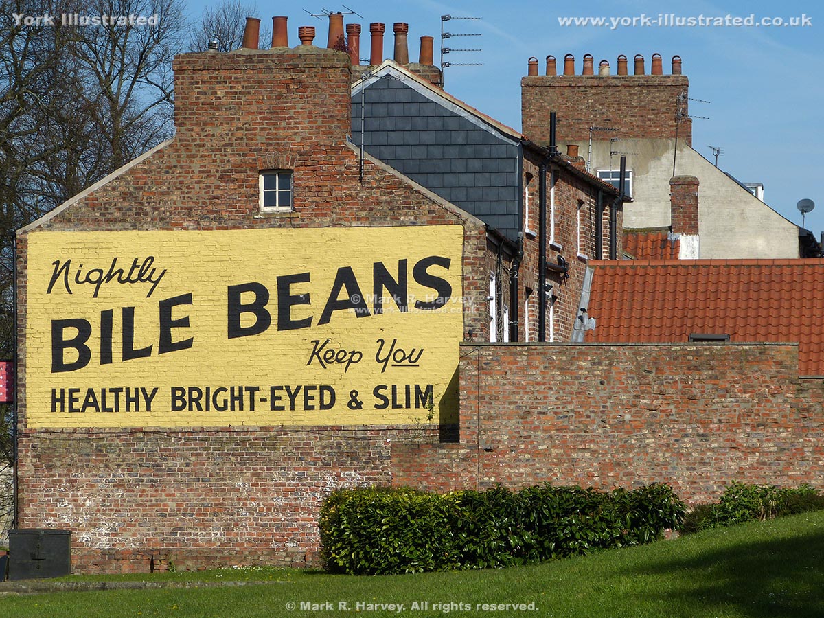
Bile Beans Ghost Sign

Photo as per caption. Opens larger version.

The intriguing advertisement for "Bile Beans" is a 'ghost sign' on the side wall of a house at the junction of Lord Mayor's Walk and Monkgate, near Monk Bar.

Read more

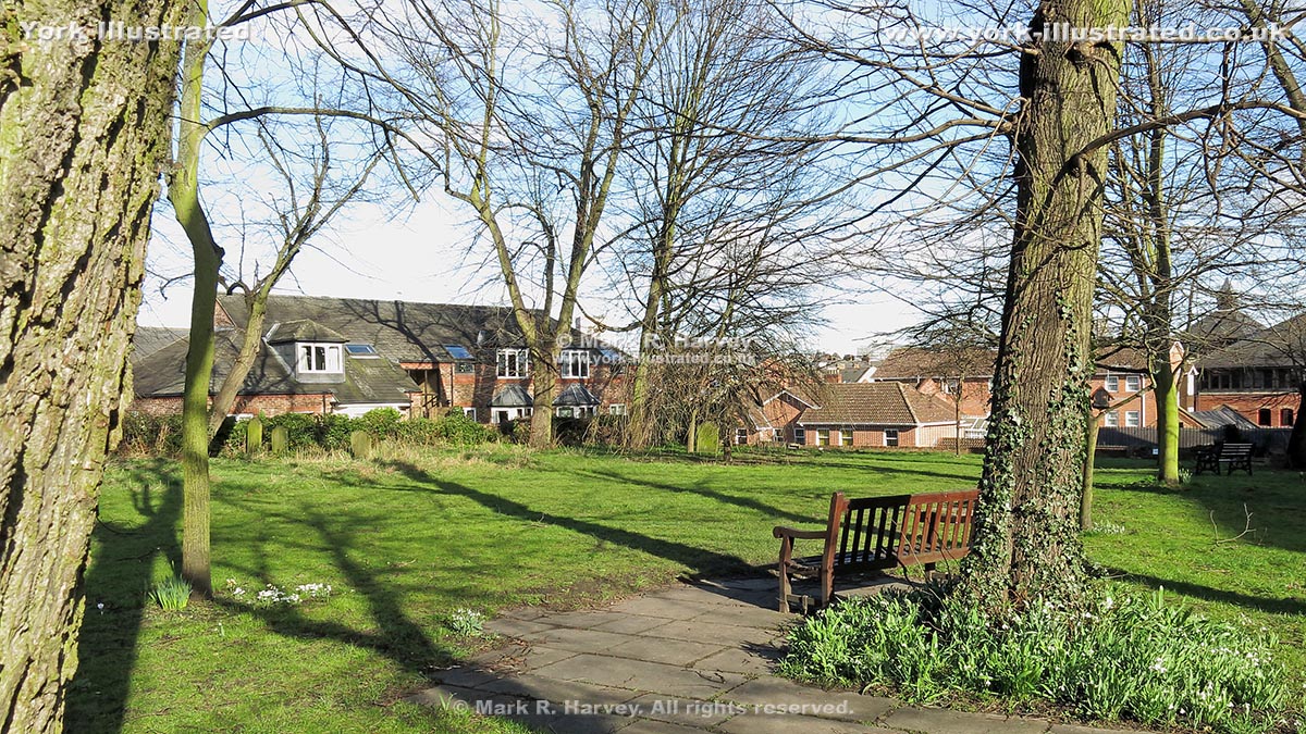
Bishophill Community Garden

Photo as per caption. Opens larger version.

Bishophill Community Garden is a small area of greenspace within the churchyard of St Mary Bishophill Senior (York). The church was demolished in 1963.

Read more

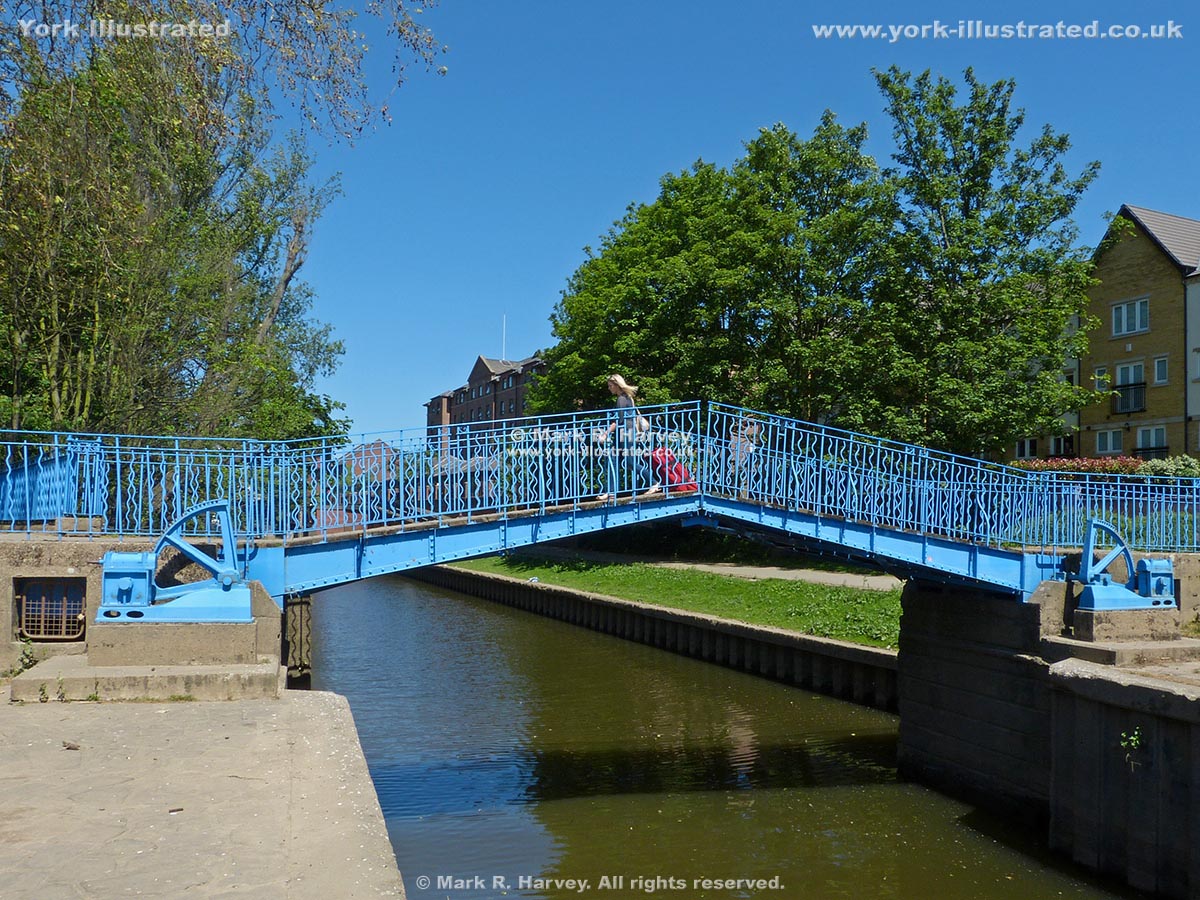
Blue Bridge

Photo as per caption. Opens larger version.

This manually-operated double-leaf bascule footbridge carries the riverside path across Browney Dyke (a section of the Foss Navigation near the River Ouse).

Read more

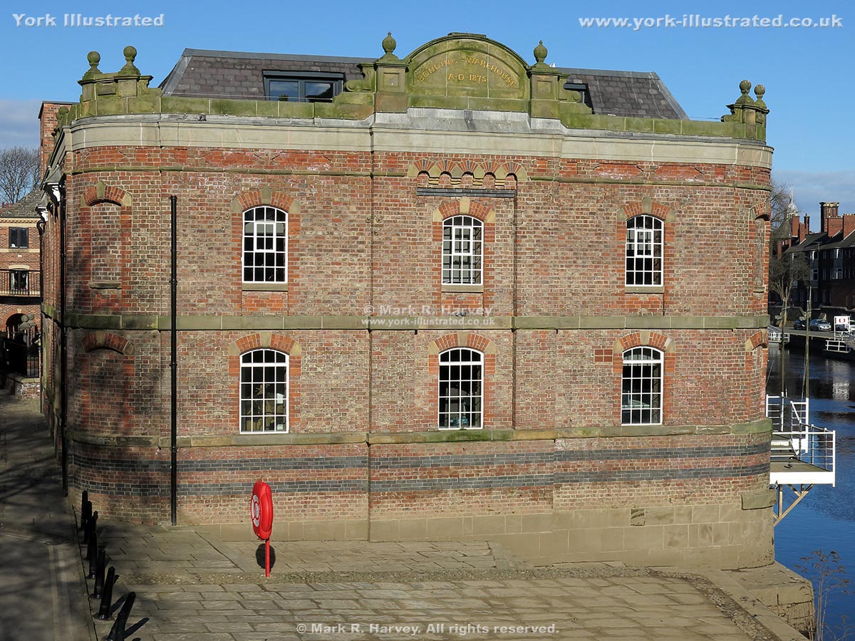
Bonding Warehouse

Photo as per caption. Opens larger version.

From 1875 to 1958, York Corporation used the Bonding Warehouse to store imported goods that were subject to Excise duty. It now contains flats and offices.

Bootham Bar

Photo as per caption. Opens larger version.

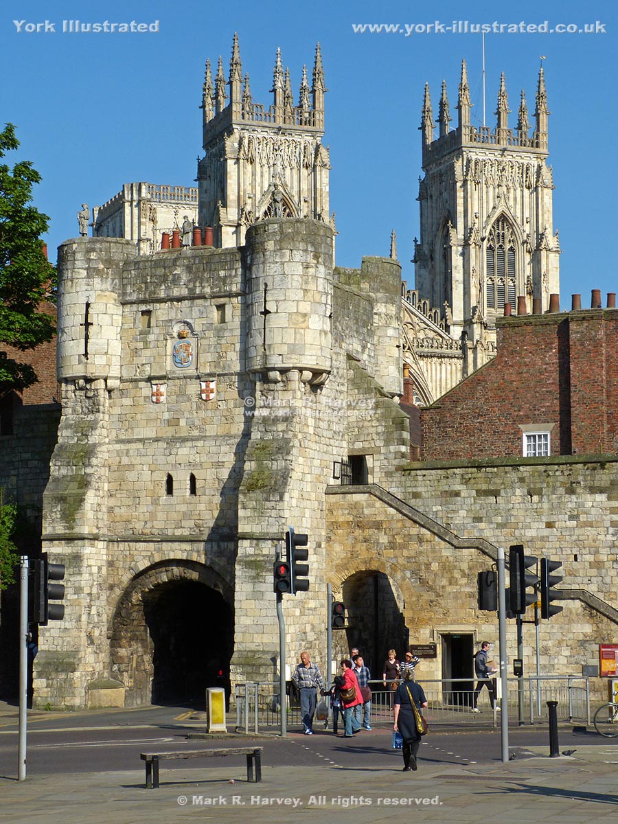
Bootham Bar was built in the 12th century to protect the city's western entrance. It now forms a key access point for the northern section of York's City Walls.

Carr's Lane

Photo as per caption. Opens larger version.

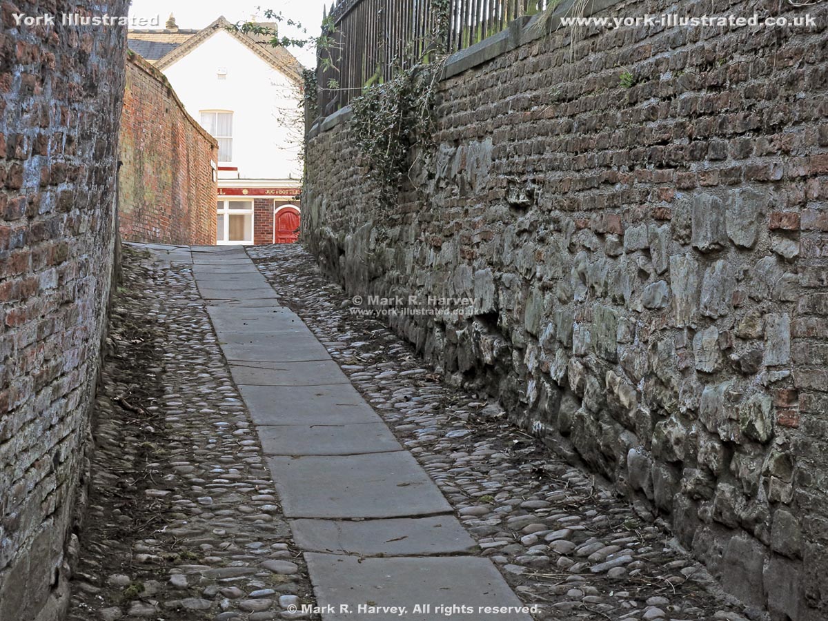
The steep gradient, cobble and flagstone road surface and high retaining walls give Carr's Lane an interesting and distinctive character.

Read more

Castle Mills Bridge

Photo as per caption. Opens larger version.

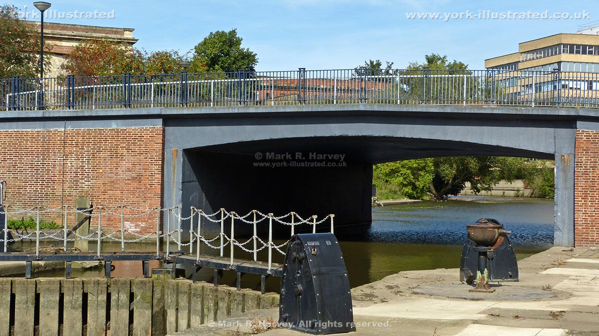
Castle Mills Bridge was built in 1955 and 1956 to carry Tower Street (part of York's Inner Ring Road) across the River Foss (aka the Foss Navigation).

Read more

Castle Mills Lock

Photo as per caption. Opens larger version.

Castle Mills Lock is 34 metres long x 6 metres wide. It was built in 1796, widened in 1889 and is now the only operational lock on the Foss Navigation.

Read more

Castlegate

Photo as per caption. Opens larger version.

During the Medieval and Tudor periods, Castlegate was the main thoroughfare linking Ouse Bridge and the town centre with the outer bailey of York Castle.

Chapter House Street

Photo as per caption. Opens larger version.

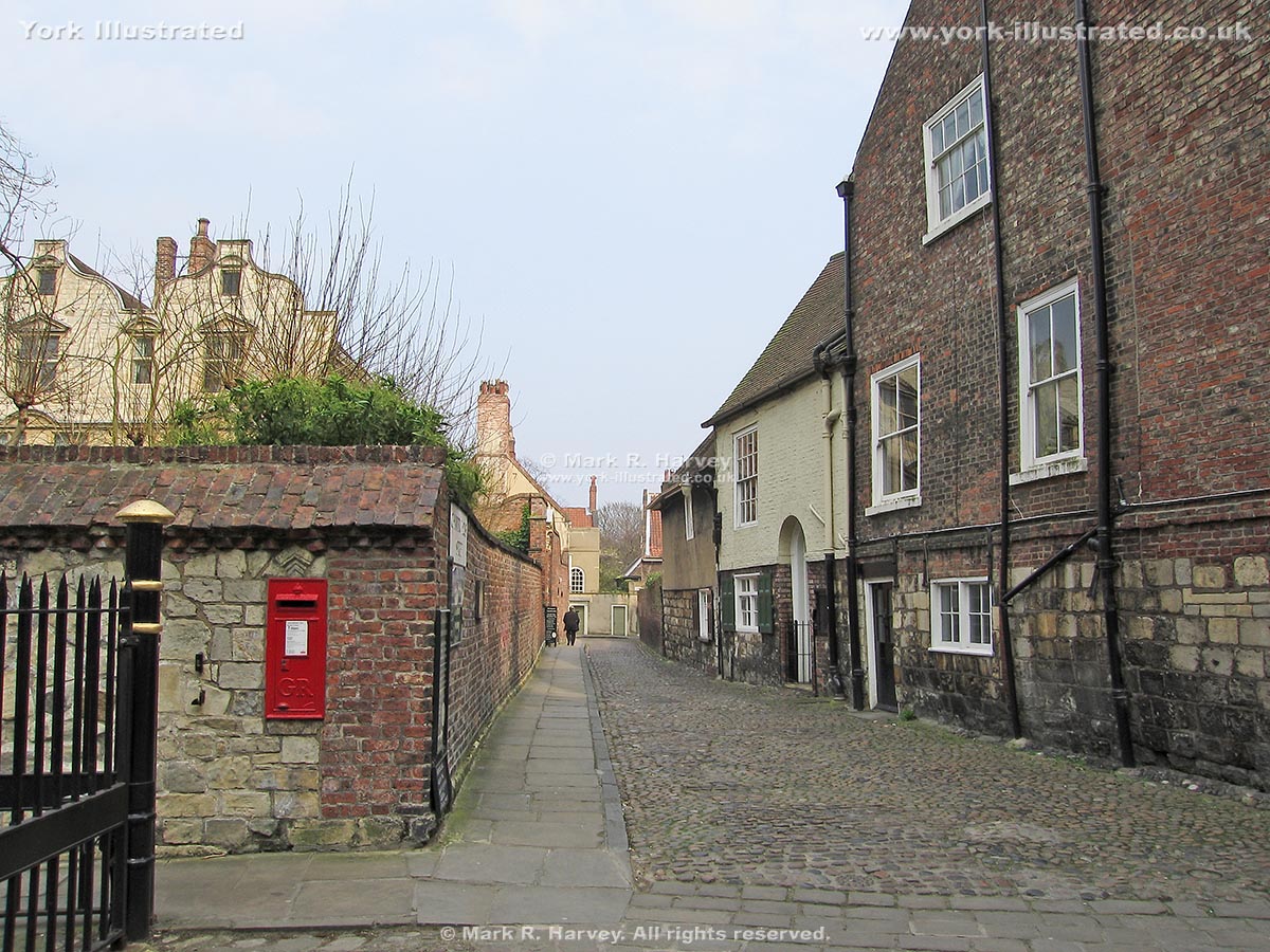
Chapter House Street follows the alignment of the Via Decumana (the road linking the northeast gate of the Roman fortress of Eboracum with the Principia).

Chess Board Carving on Wall Walk

Photo as per caption. Opens larger version.

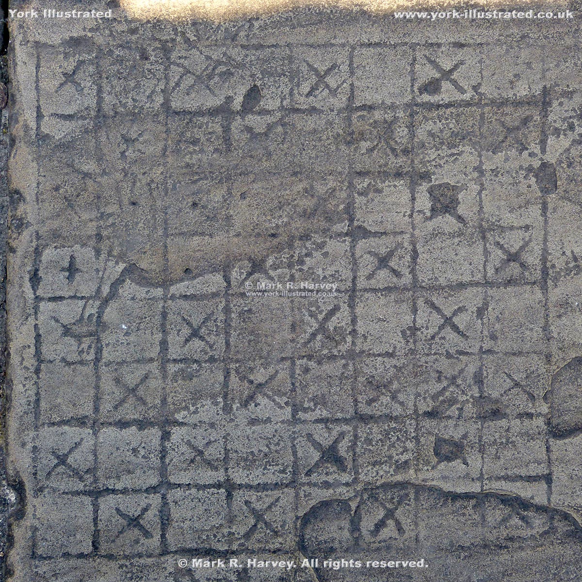
A chess board has been carved onto a paving slab that forms part of the walkway along the top of the southwestern section of York's City Wall (near Tower 5).

Clifford's Tower

Photo as per caption. Opens larger version.

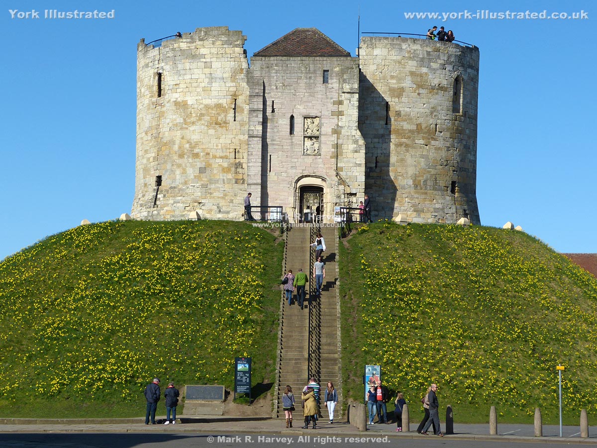
Clifford's Tower (a.k.a. 'the King's Tower' or 'the Great Tower') is the keep of York Castle. Its 'quadrilobate' (four-lobed) design is unique in England.

Read more

Coffee Yard

Photo as per caption. Opens larger version.

Coffee Yard is a narrow, low-headroom passageway linking Stonegate with Grape Lane in the medieval streets area of York. It has a delightful central courtyard.

Pages