Exploring 2,000 years of history in a single English city.
Road Access Arches
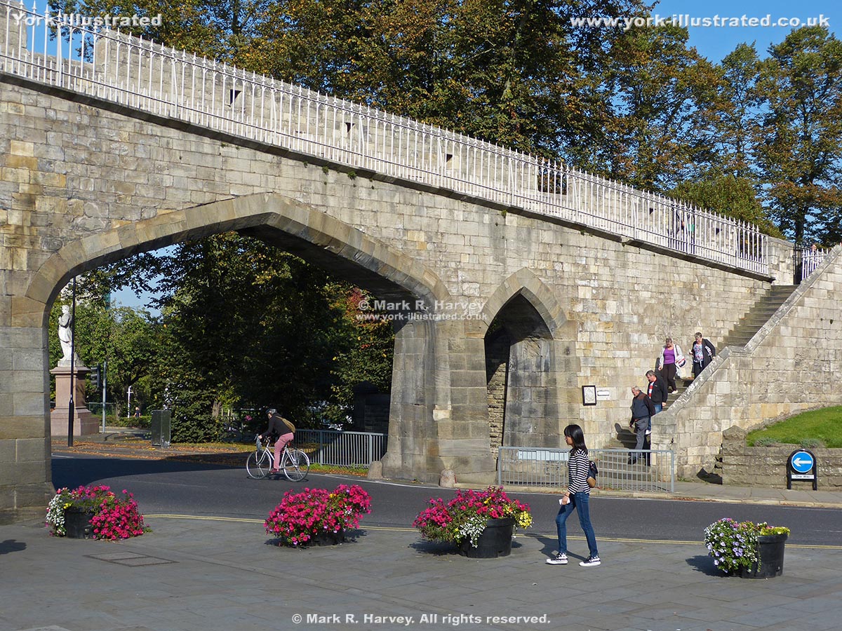
In 1874-6, two sets of archways were inserted into the city wall to provide pedestrian and road access between the city centre and the new railway station.
Two interval towers (RCHME numbers 17 and 18) had to be demolished to accomodate the insertion of these arches. Tower 17 (to the south of the south-western arch) was rebuilt, but Tower 18 was not.
Image 1
The south-western road access arch and one of the two associated pedestrian arches. This set of arches was created in 1874. The steps (right) link the wall-top walkway with Station Road.
Image 2
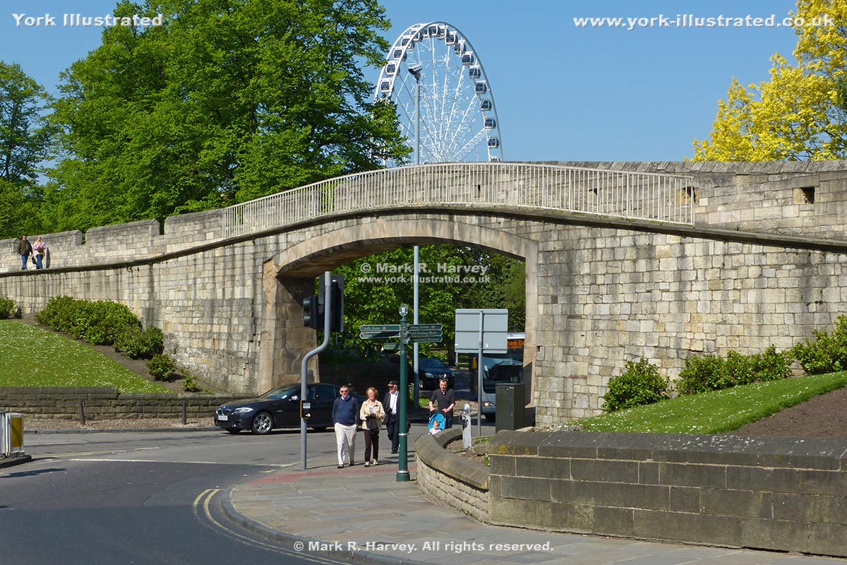
The distance between the two road access arches is approximately 100m. The Wall Walk had to be raised significantly to accomodate the north-eastern arch (closest to the camera) and this is clearly visible in the stonework to the left of the arch.
Image 3
A less oblique view of the north-eastern road access arch, which was constructed during 1965–6. It replaced a smaller arch built in 1876. The large ferris / observation wheel in the background was a temporary attraction known as 'the Yorkshire Wheel'.
Practical Information
The coordinates used for the marker on the 'Location Map' (see below) relate to the south-westerly set of arches.
Location Map
An interactive map showing the location of Road Access Arches is available via the link below:
 York Illustrated