Evidence from historic maps suggests that it was constructed at some point between 1910 and 1925.
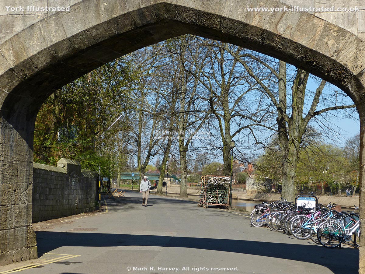
Image 1
The southeast end of the West Esplanade, seen through the archway of North Street Postern. Scarborough Bridge is just visible in the distance (painted green). The cycle racks on the right hand side are those that are partially visible in Image 4.
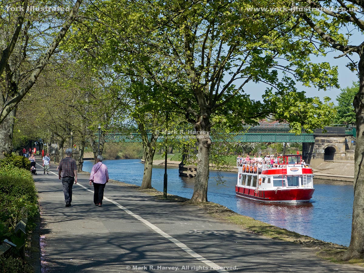
Image 2
This photographs was taken a little further along West Esplanade. It offers a clearer view of Scarborough Bridge (and a tour boat on the River Ouse adds a splash of colour).
Image 3
An attractive and tranquil autumn view from the opposite end of the West Esplanade. Lendal Bridge is just visible in the far distance. The River Ouse is in flood, but its level is low enough to allow the walkways on both banks of the river to remain open. However, that is not always the case (see Image 4).
Image 4
During this flooding event in 2007, Barker Tower (left) has become an island and the West Esplanade is under approximately half a metre of fast-flowing, muddy water. Note the empty cycle racks sticking out from the water (centre).
Practical Information
The West Esplanade can be combined with Scarborough Rail Bridge, the Esplanade / Dame Judi Dench Walk and Lendal Bridge, to provide a pleasant circular walk beside the River Ouse (total distance approximately 0.6 mile). However, please note that the Esplanade / Dame Judi Dench Walk and West Esplanade both lie within the functional flood plain of the River Ouse and that either or both may be inaccessible when the river is in flood (see Image 4 above) and for the duration of post-flood clean-up works.
 York Illustrated