Exploring 2,000 years of history in a single English city.
Esplanade / Dame Judi Dench Walk
The Esplanade was constructed in 1842 to reduce flooding in Museum Gardens and to provide a pleasant 'promenade' beside the River Ouse. It was re-named Dame Judi Dench Walk in 2000.
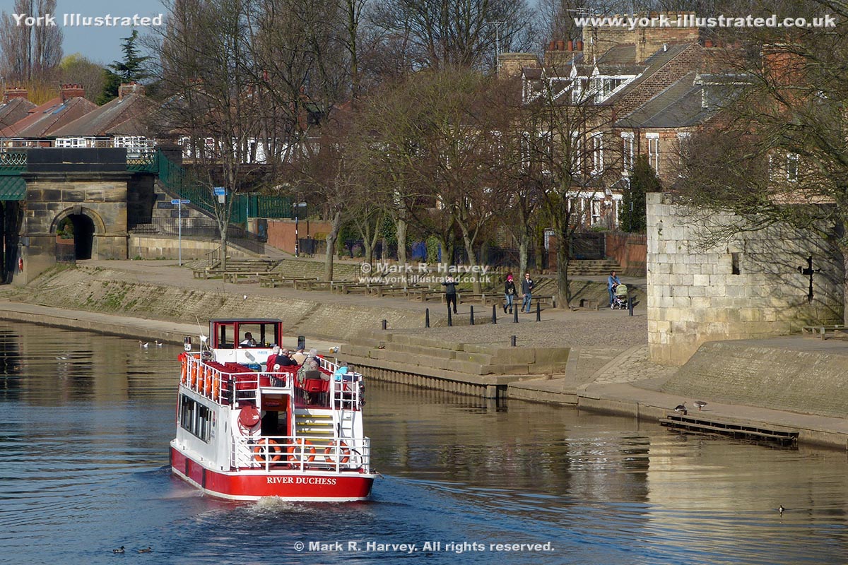
Image A1
The western section of the Esplanade, with a tour boat passing Marygate Landing (centre) and the Water Tower (right). The north end of Scarborough Bridge is also visible (left). This image predates the replacement of the latter's footbridge.
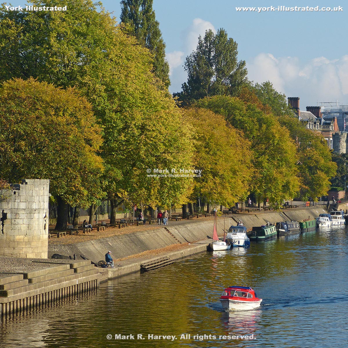
Image A2
The eastern section of the Esplanade, with a day-boat passing the Water Tower (left).
On a nice day, the Esplanade is a lovely place for a stroll, as well as to sit and watch the world go by.
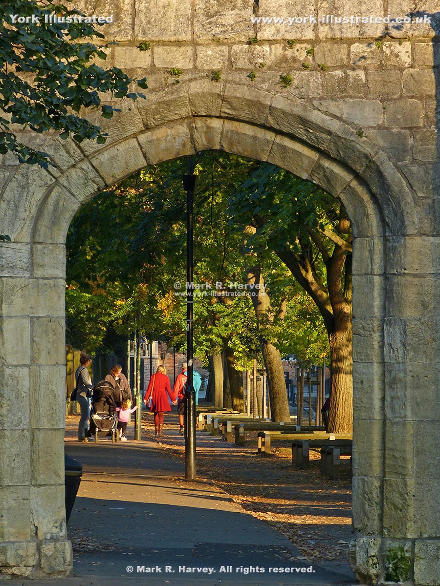
Image A7
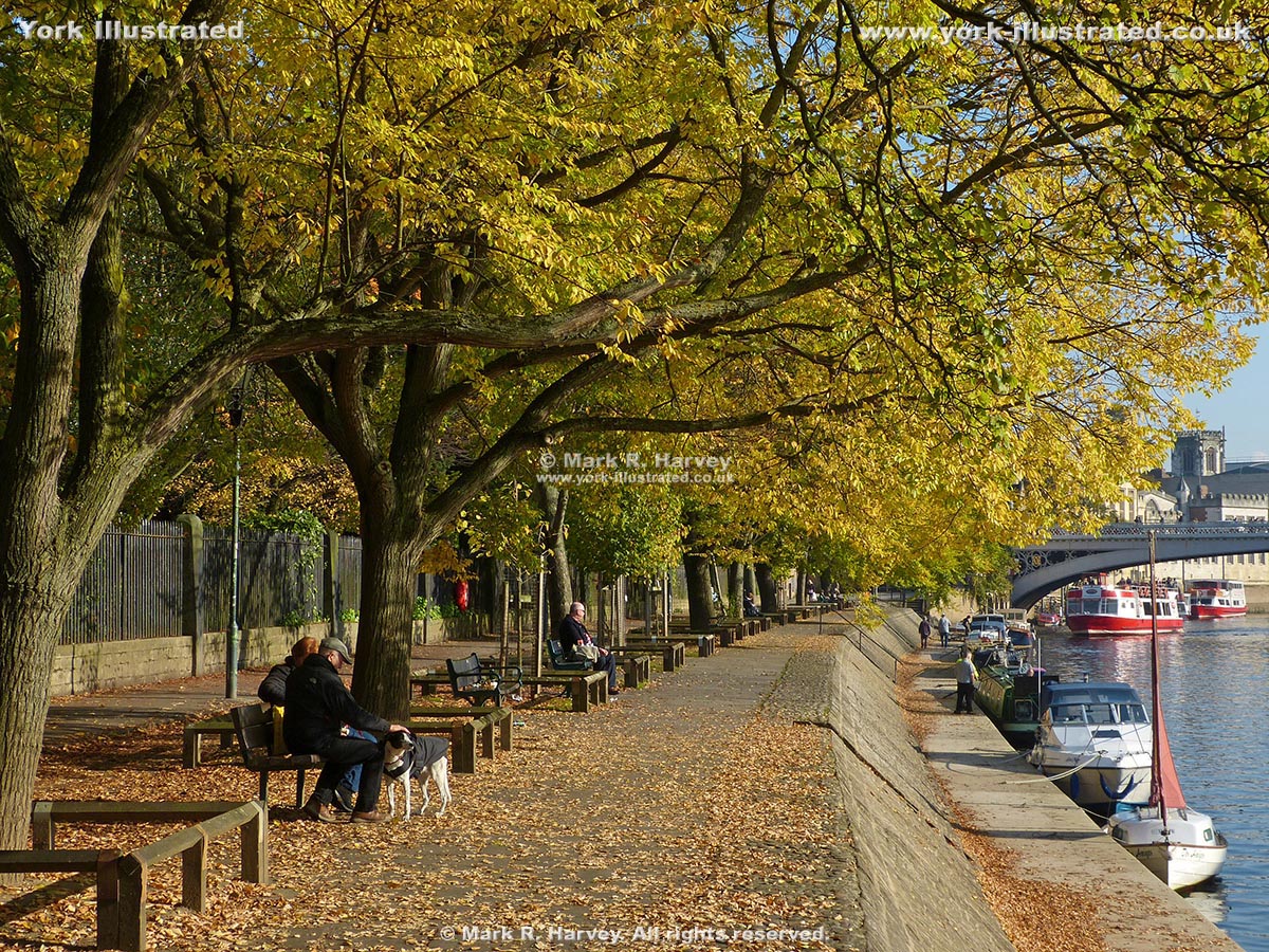
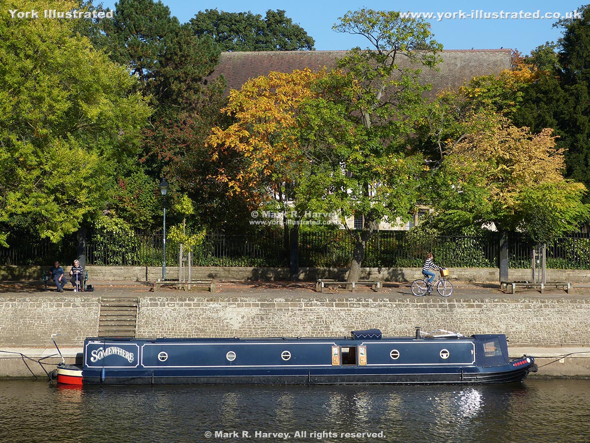
The Esplanade in autumn, looking east towards Lendal Bridge. The railings (left) mark south-western boundary of Museum Gardens.
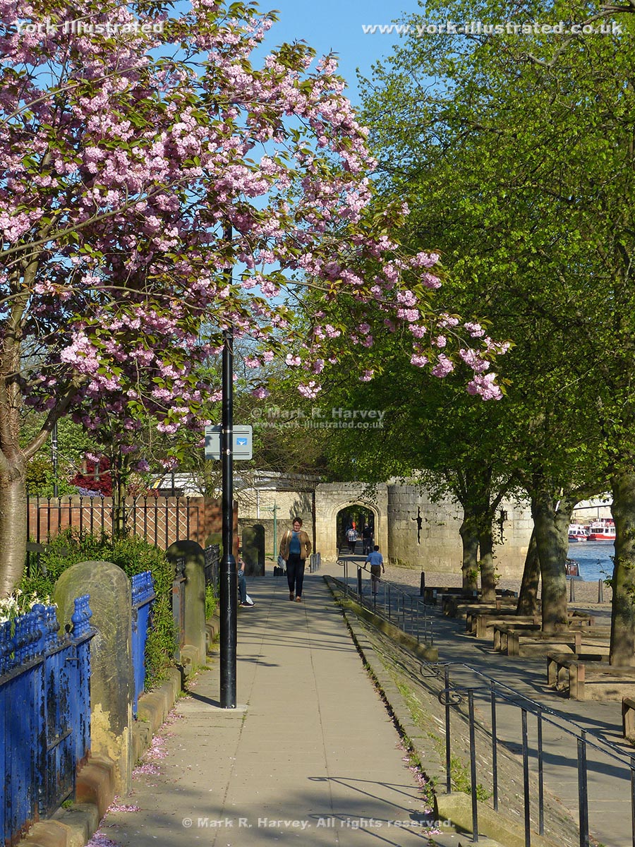
Image A8
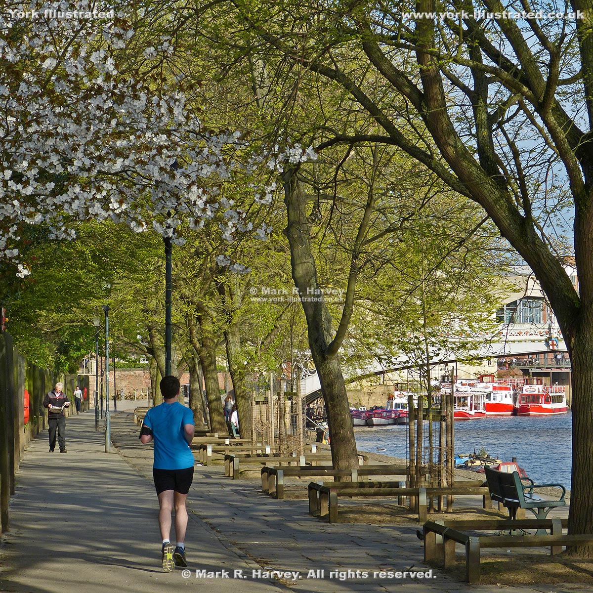
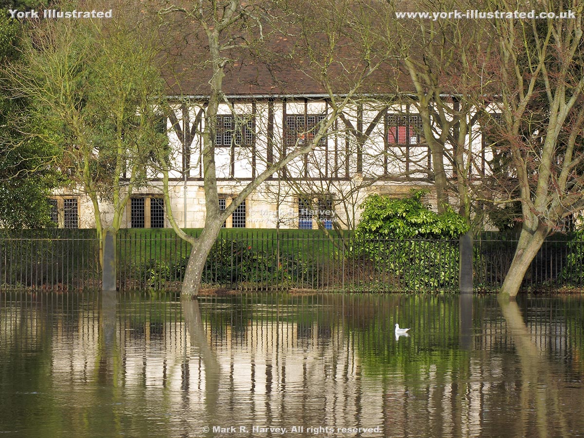
It's back to spring for this view (still looking east, but a little further along than Image A7).
Practical Information
The Esplanade / Dame Judi Dench Walk can be combined with Scarborough Rail Bridge, the West Esplanade and Lendal Bridge, to provide a pleasant circular walk beside the River Ouse (total distance approximately 0.6 mile). However, please note that the Esplanade / Dame Judi Dench Walk and West Esplanade both lie within the functional flood plain of the River Ouse and that either or both may be inaccessible when the river is in flood (see Images B2, B4 and B5 below) and for the duration of post-flood clean-up works (see Image B6 below).
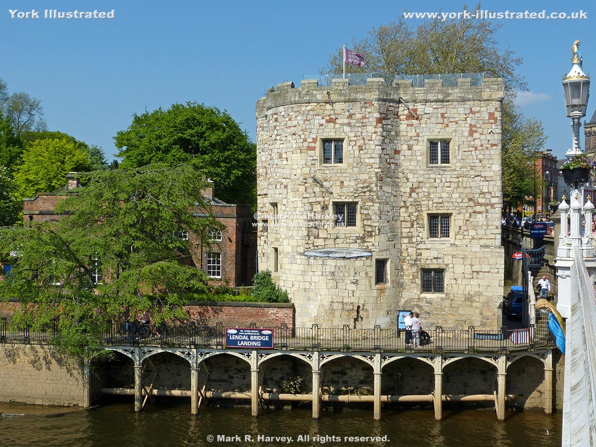
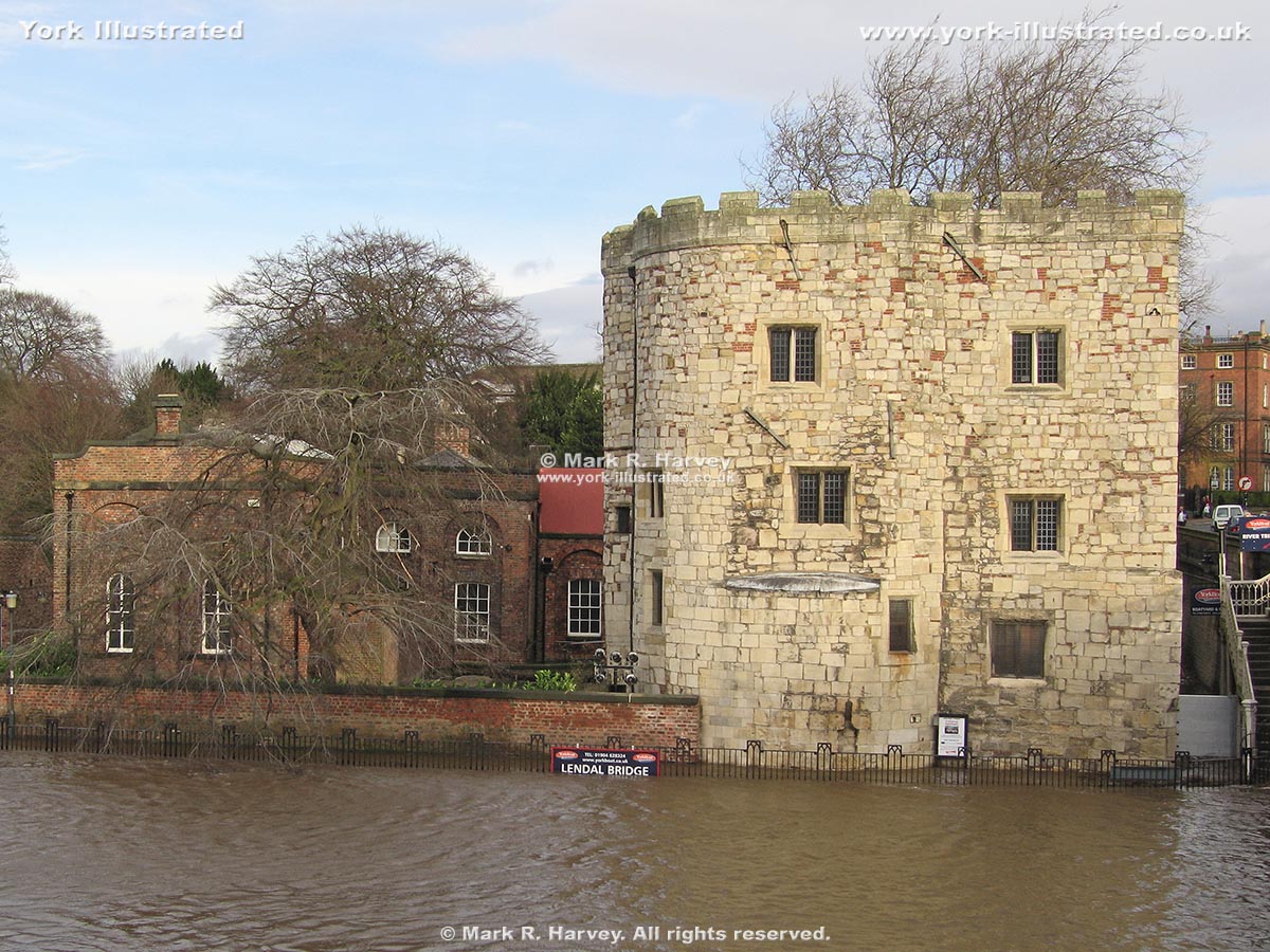
This raised walkway at the eastern end of the Esplanade leads to Lendal (a cobbled street that once lead to the Lendal Landing ferry). The ferry is long gone, but a set of steps provides access to Museum Street and Lendal Bridge (right).
Image B2
A similar view with the River Ouse in flood. The floodgates are closed and the raised walkway is covered by several feet of water. (Compare this photo with Image B1.) The buildings are Lendal Engine House (left) and Lendal Tower (right).
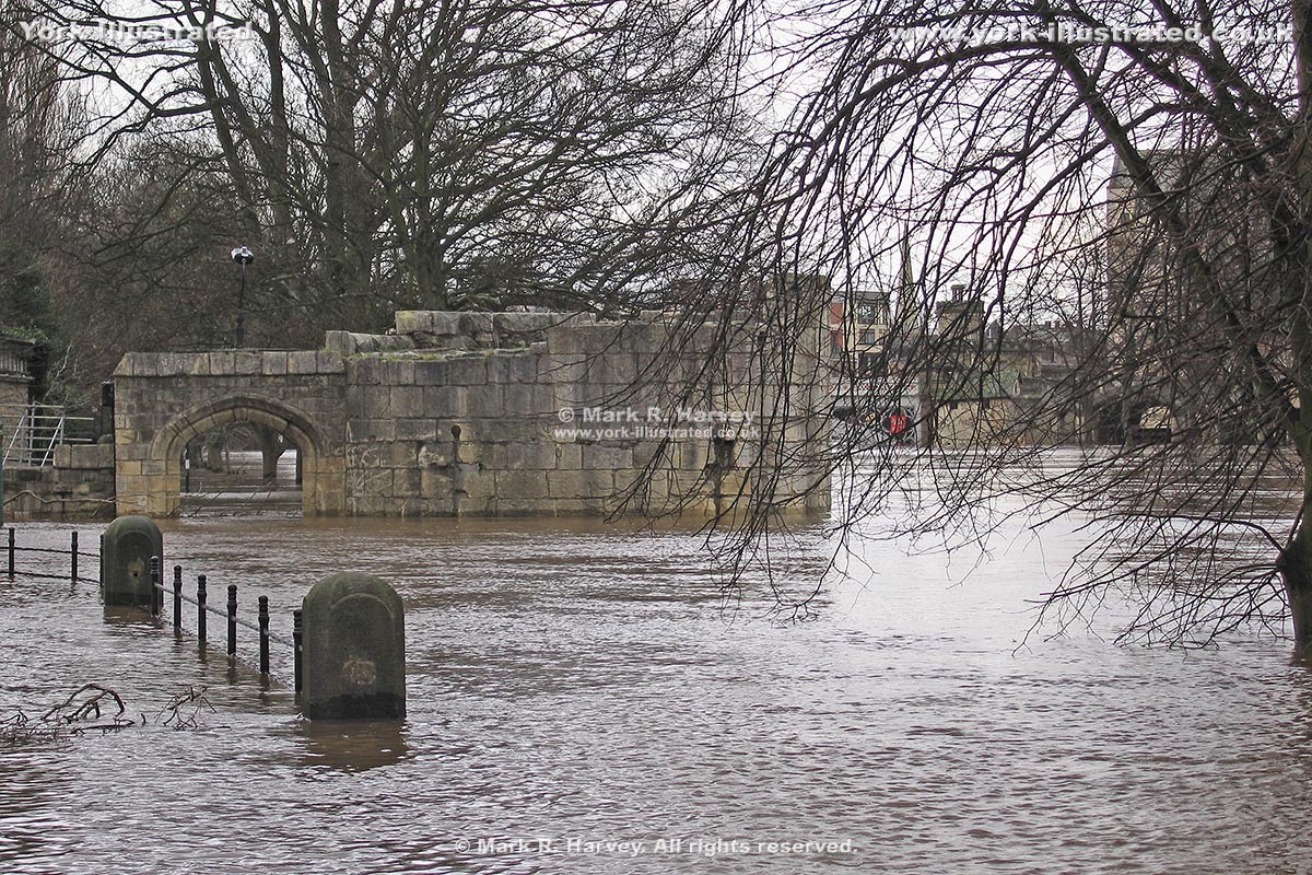
A similar view in winter, with the River Ouse in flood, but looking deceptively still and calm.
Image B5
The floodwaters are even higher in this snapshot of the Marygate Landing area. Compare this with Images A1 to A5. Note the level of the water relative to the arrow slits on the Water Tower and the top of the Esplanade access arch.
Image B6
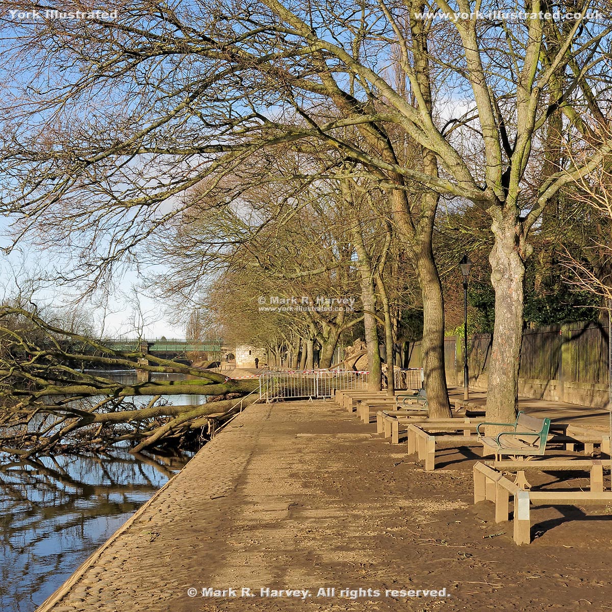
Hazards like this post-flood mud and fallen tree can remain in-situ for quite a while, especially when more flooding is expected.
Please also note that, for safety reasons, the Esplanade is closed for approximately four hours on the mornings of Royal Gun Salutes (see Images C1 and C2 below). For more information and additional images, see the Museum Gardens page.
Image C1
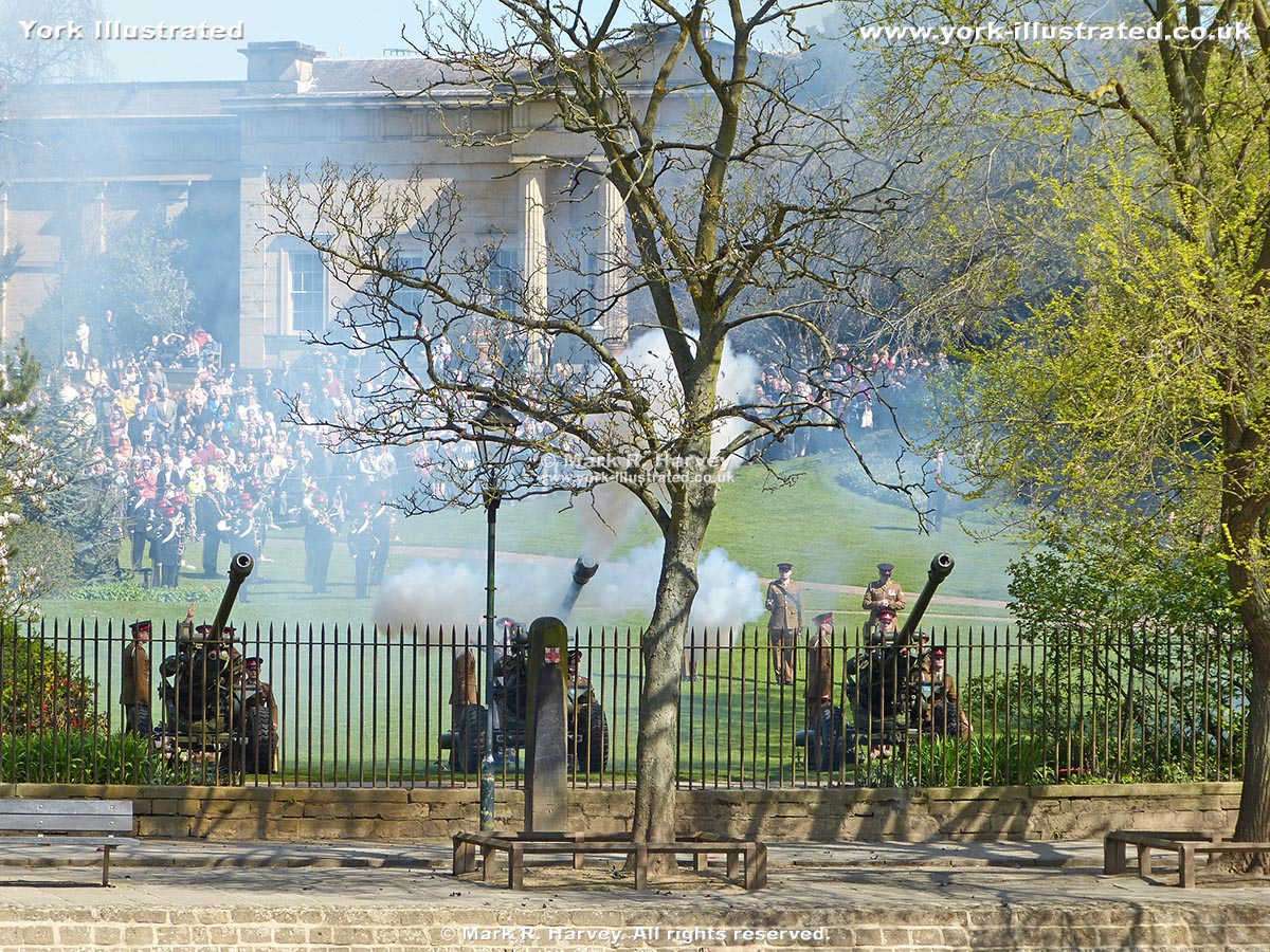
Mid-performance during a Royal Gun Salute on April 21st, 2016. The building in the background houses the Yorkshire Museum.
Image C2
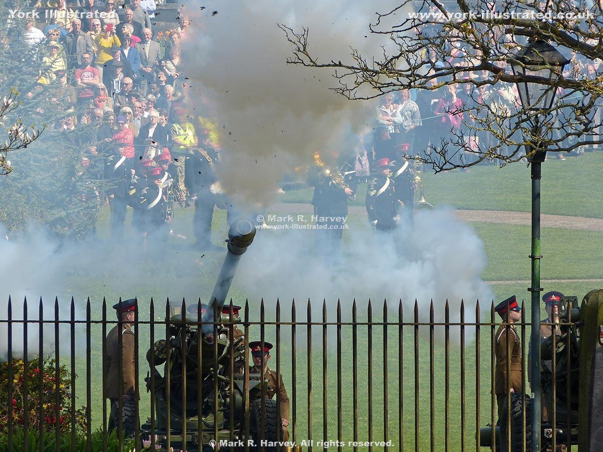
Here's why they close the Esplanade for these events: smoke, flames, flying debris (mostly cardboard and soot) and 21 very loud bangs.
Unfortunately, there does not appear to be an official (published) schedule for these fascinating events, but they usually take place to mark key royal occasions. Past events have celebrated the actual and official birthdays of Her Majesty the Queen (April 21st and June 14th respectively), the accession of Queen Elizabeth II to the throne (June 2nd) and the birthday of HRH The Duke of Edinburgh (June 10th). Forthcoming events are usually publicised in the local press.
Location Map
An interactive map showing the location of Esplanade / Dame Judi Dench Walk is available via the link below:
 York Illustrated