The Gazetteer provides illustrated introductions to hundreds of 'free-to-view' and 'not-for-profit' locations that you might like to seek-out during a real-world sightseeing visit to the historic city of York.

By default, every location in the database is listed. If desired, set the star rating, place type OR zone filter below, then click / tap on the 'Apply Filters' button to restrict the list to the matching locations.

Show / hide tips below.
  • To speed-up page-loading, a maximum of 24 locations are displayed on each page.
  • If more than 24 locations match the filter settings, click / tap on the page navigation buttons (located below the list) to display the additional page(s).
  • The locations are listed in alphabetical order of the place name (reading from top-left to bottom-right).
  • To avoid frustrating 'nil returns', use one filter only (leaving the others set to 'Any').
  • To view a larger version of an image, click on its thumbnail. If you are using a device with a screen width of 400px or more and with JavaScript enabled, you should be able to view the images in a slideshow overlay.
    (NB: The slideshow will not run on devices with a screen width of less than 400px, or if you attempt to open it in a new window.)
  • To access the geolocation details and view all available information for a location, click / tap on its place name or 'Read more' button.
  • If a 'Read more' button is provided, a brief article and / or a high quality external link is also available.
Foss Basin

Photo as per caption. Opens larger version.

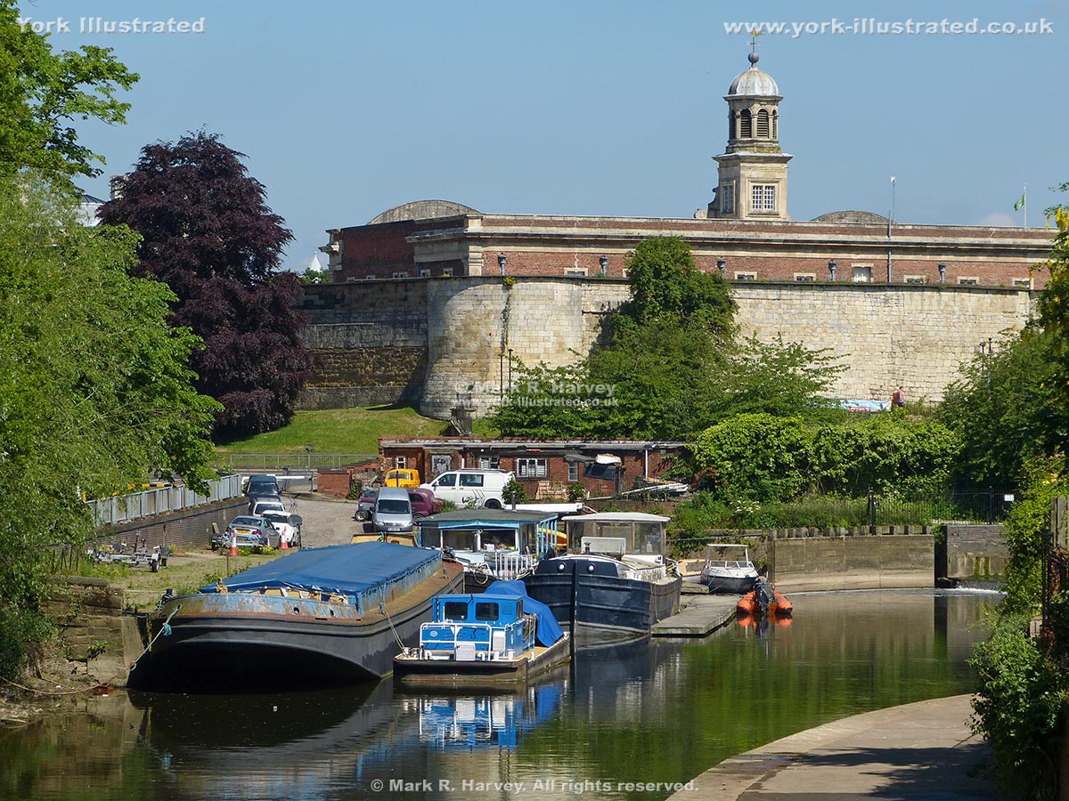
Foss Basin (also known as Castle Mills Lock Basin) lies on the River Foss between the Foss Barrier and Castle Mills Lock.

Read more

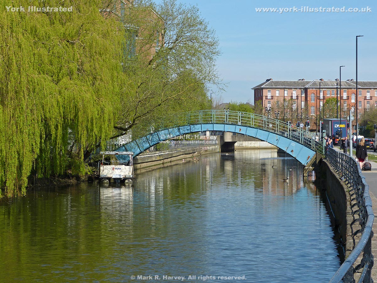
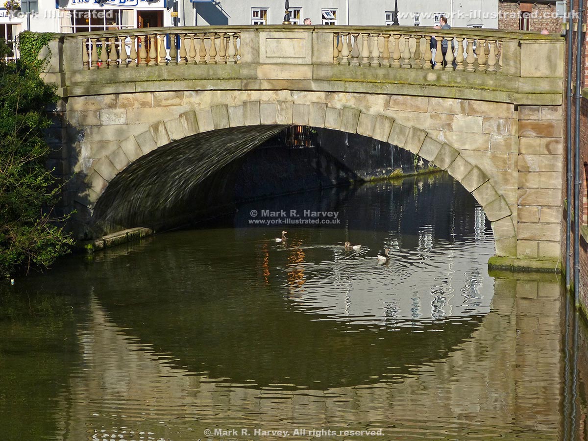
Foss Bridge

Photo as per caption. Opens larger version.

This attractive single arch (Grade II listed) structure was built in 1811-1812. The 'heritage style' lamp standards were installed in 1975.

Read more

Fulford Ordnance Wharf and Military Tramway System

Photo as per caption. Opens larger version.

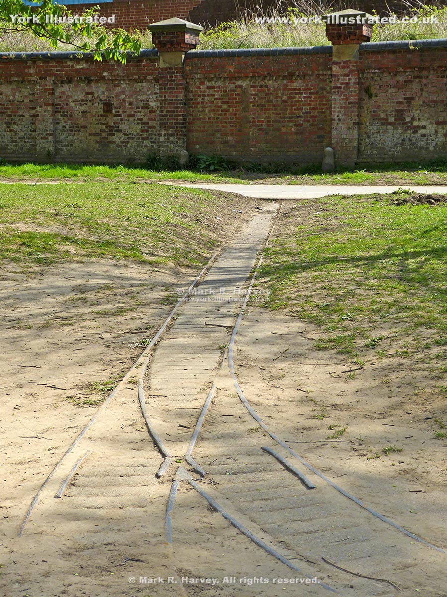
The wharf and 18-inch guage tramway system were constructed in 1878 to serve a complex of military stores and workshops associated with Fulford Barracks.

Read more

Goodramgate

Photo as per caption. Opens larger version.

Goodramgate links the heart of the city with Monk Bar. It is wider than most of York's medieval streets: a reflection of its importance and prosperity.

Grape Lane

Photo as per caption. Opens larger version.

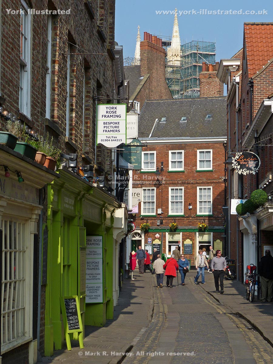
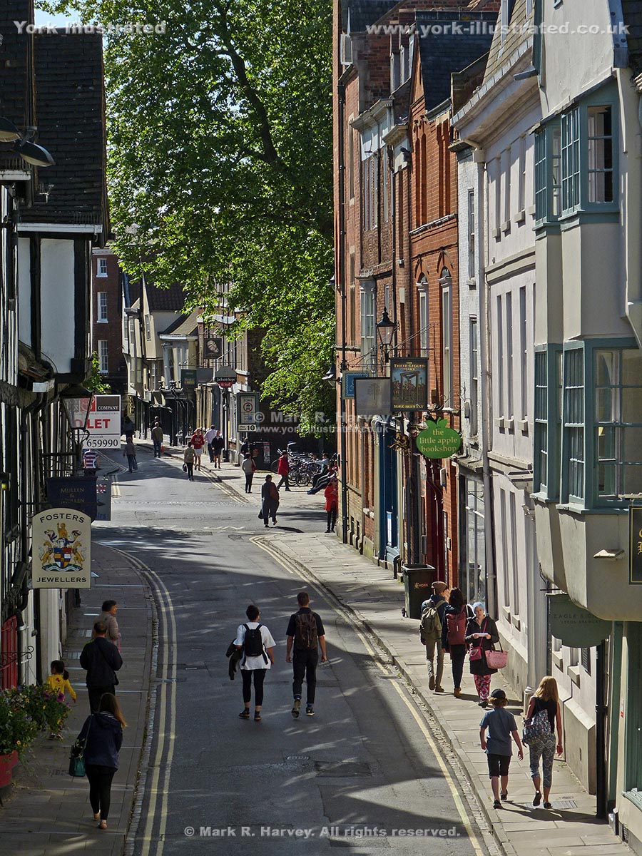
Grape Lane is now an attractive retail street in the heart of the medieval quarter. However, for centuries it was home to workshops, warehouses and brothels.

Gray's Court

Photo as per caption. Opens larger version.

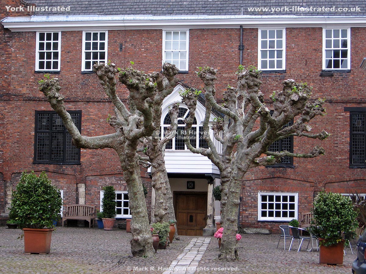
Externally, Gray's Court dates mainly from the 18th and 19th centuries, but it includes 12th century masonry (perhaps from the Medieval Treasurer's residence).

Guildhall

Photo as per caption. Opens larger version.

York's Grade I listed Guildhall was built in 1449. It was restored during the 1950s after being severely damaged by fire during a bombing raid on 29 April 1942.

Read more

High Petergate

Photo as per caption. Opens larger version.

High Petergate follows the alignment of the northwestern end of the Via Principalis (one of the main roads through the Roman fortress of Eboracum).

Historic Latrines

Photo as per caption. Opens larger version.

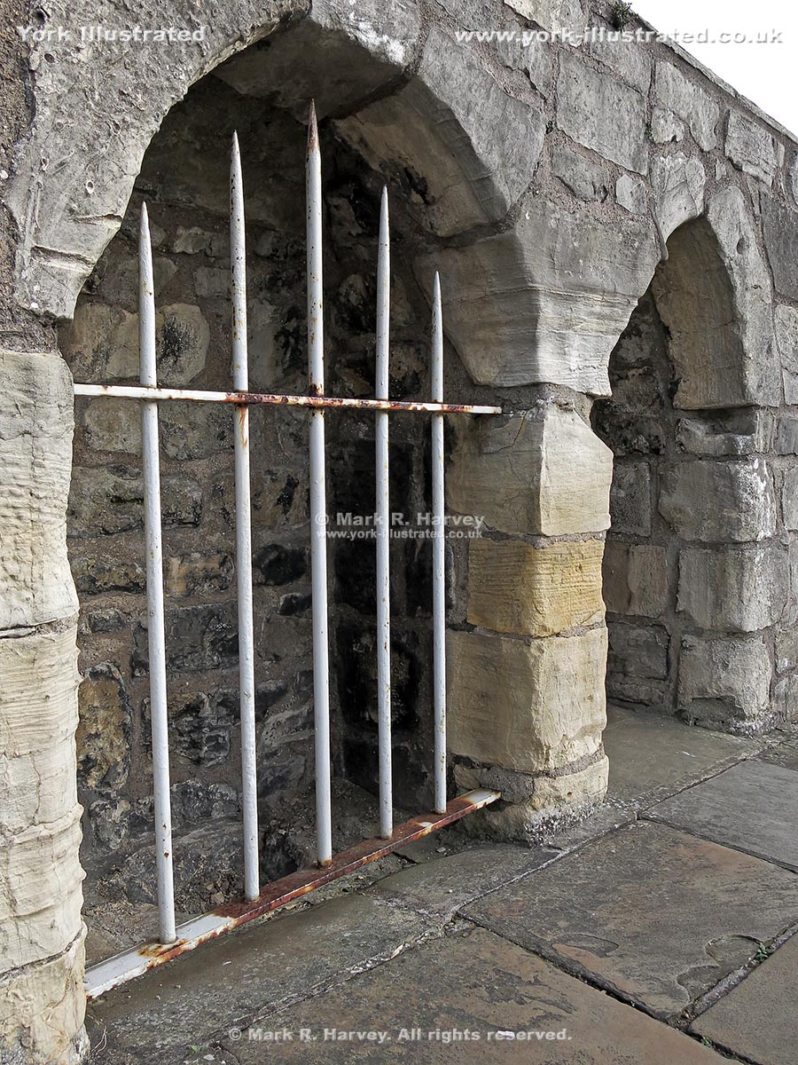
Between tower 31 and the site of tower 30, a pair of historic latrines (toilets / urinals) have been set into the City Walls beside the wall-top walkway.

Read more

Holgate Windmill

Photo as per caption. Opens larger version.

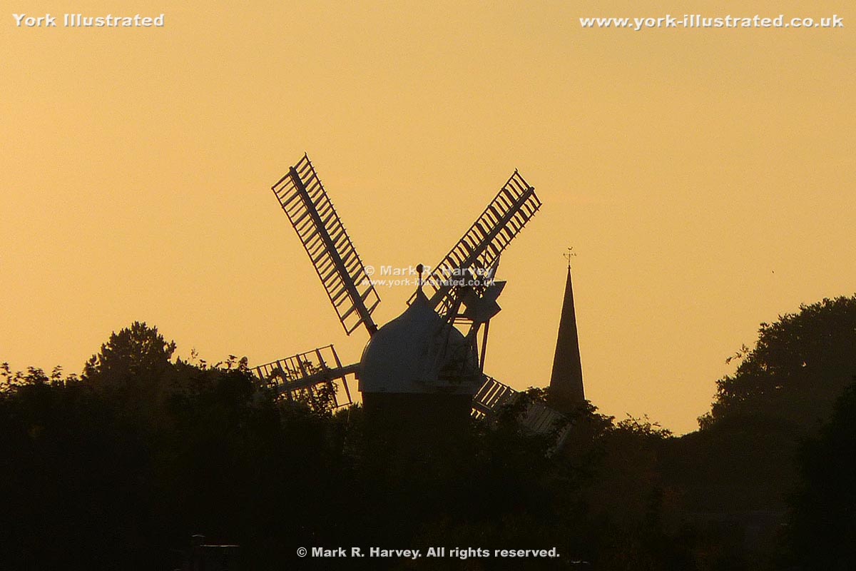
Holgate Windmill is the oldest five-sailed windmill in the country (dating from circa 1792). It was restored to full working order between 2006 and 2012.

Read more

Holy Bible 1682 Carved Wooden Sign

Photo as per caption. Opens larger version.

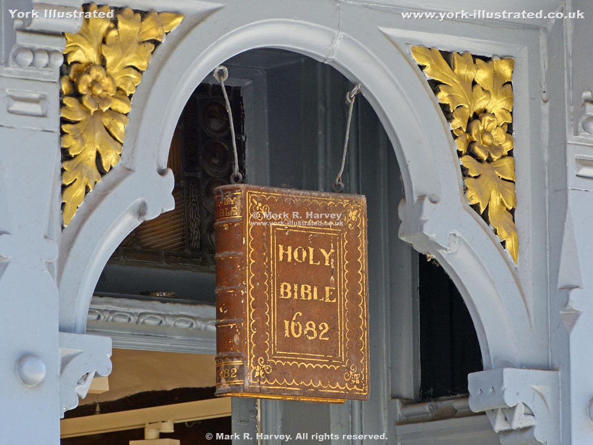
For almost 200 years, this carved wooden sign above the doorway of 35 Stonegate advertised a series of book-related businesses known as "The Sign of the Bible".

Read more

Holy Trinity Church, Goodramgate

Photo as per caption. Opens larger version.

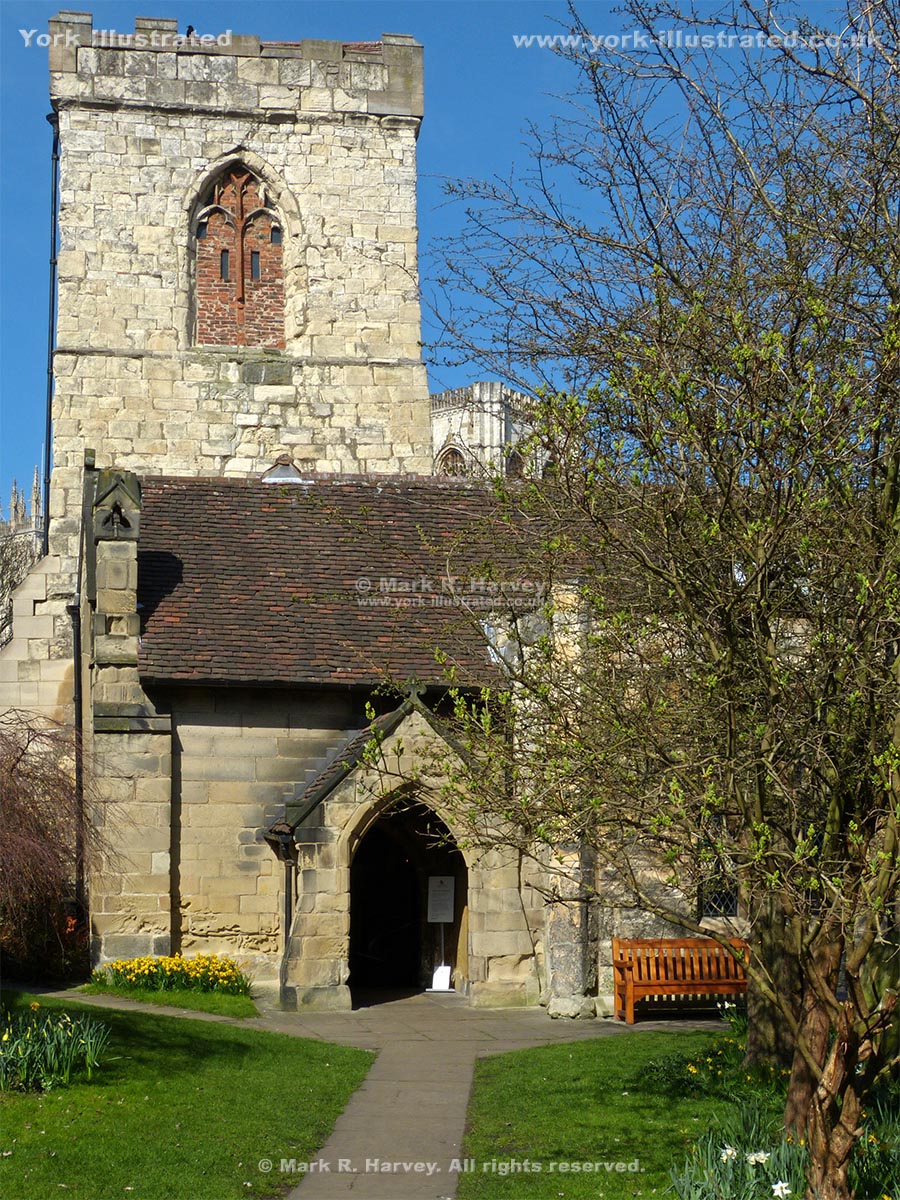
The earliest fragments of Holy Trinity Church date from the 12th century. The 15th century tower has a relatively modern, but rare saddleback roof.

Read more

Horse Repository Building

Photo as per caption. Opens larger version.

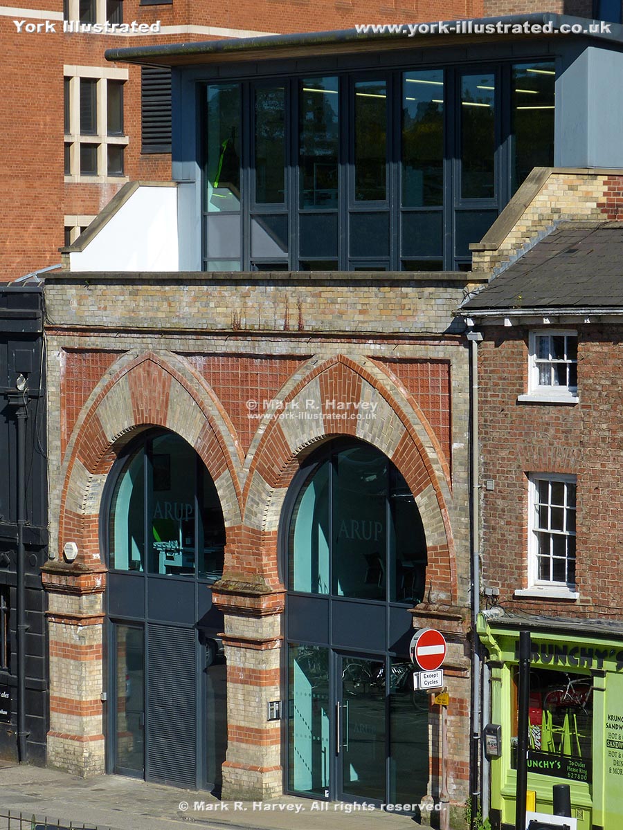
This attractive facade on Tanner's Moat, with its gothic arches and contrasting brickwork, is all that remains of what was once the city's premiere horse hotel.

Read more

Hospitium

Photo as per caption. Opens larger version.

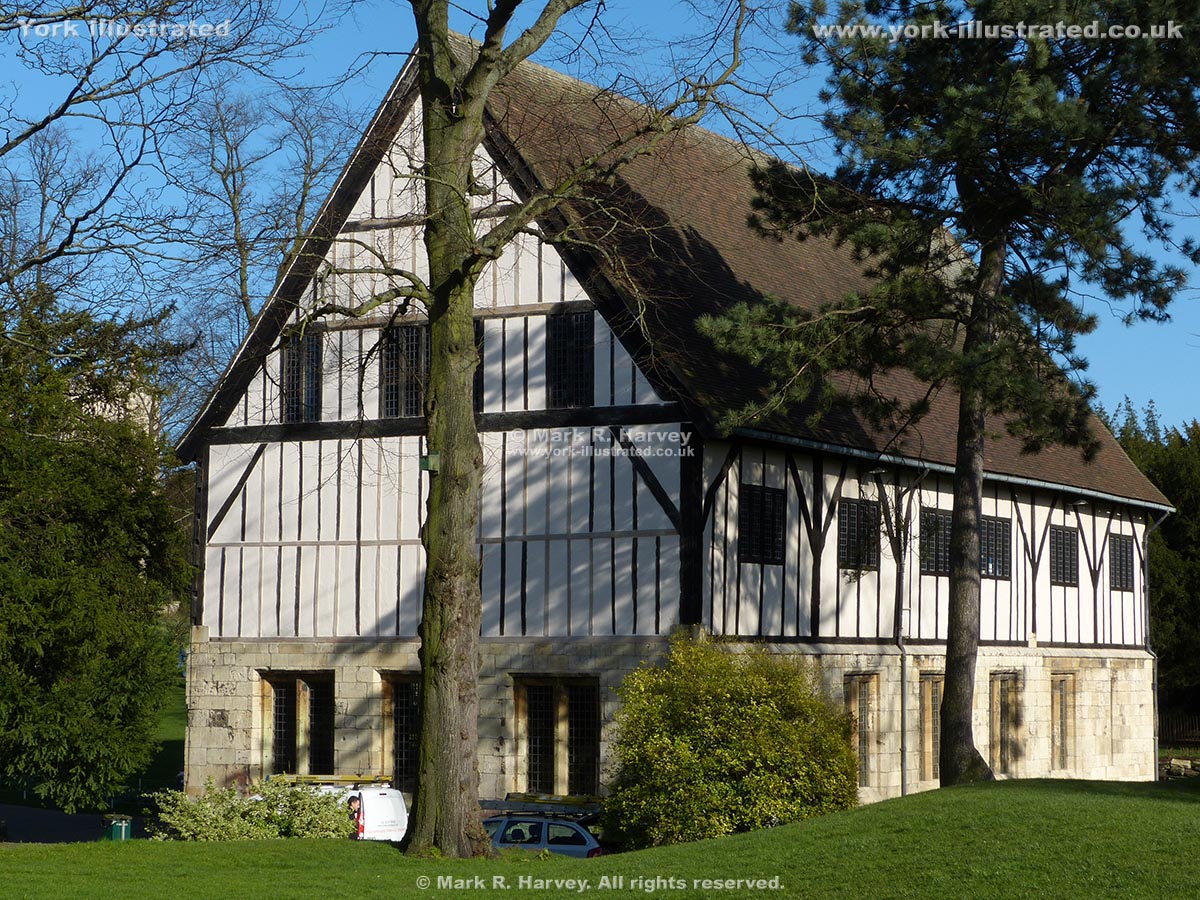
The Grade II listed Hospitium was probably built as a guest house for pilgrims visiting St Mary's Abbey. The oldest parts are 14th-15th century.

Read more

Ice House

Photo as per caption. Opens larger version.

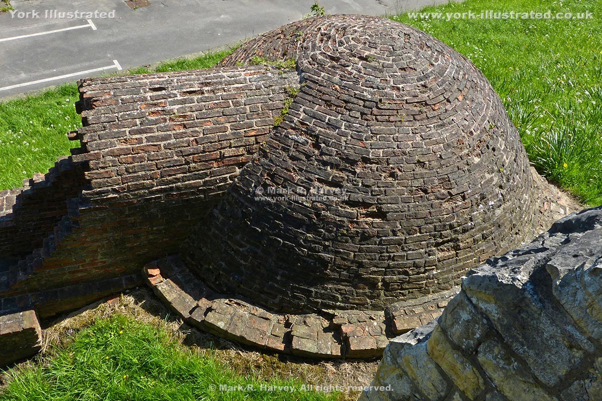
The Ice House is partially buried within the rampart (earth bank) beside the northern section of York's City Wall. Most visitors see it from the Wall Walk.

Read more

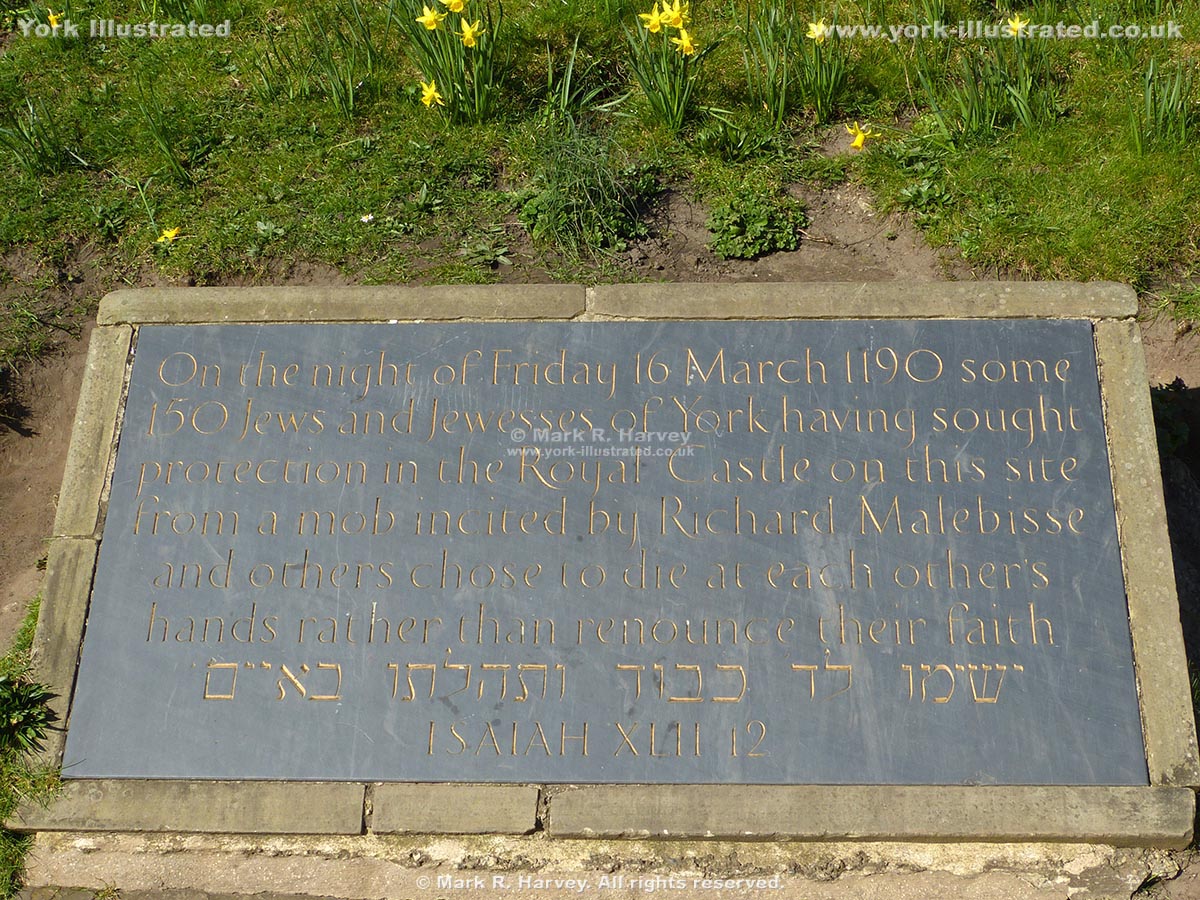
Jewish Massacre Memorial

Photo as per caption. Opens larger version.

A plaque commemorating the Jewish population of York who died in 1190 during a period of civil disorder that has become known as 'the Massacre of the Jews'.

Read more

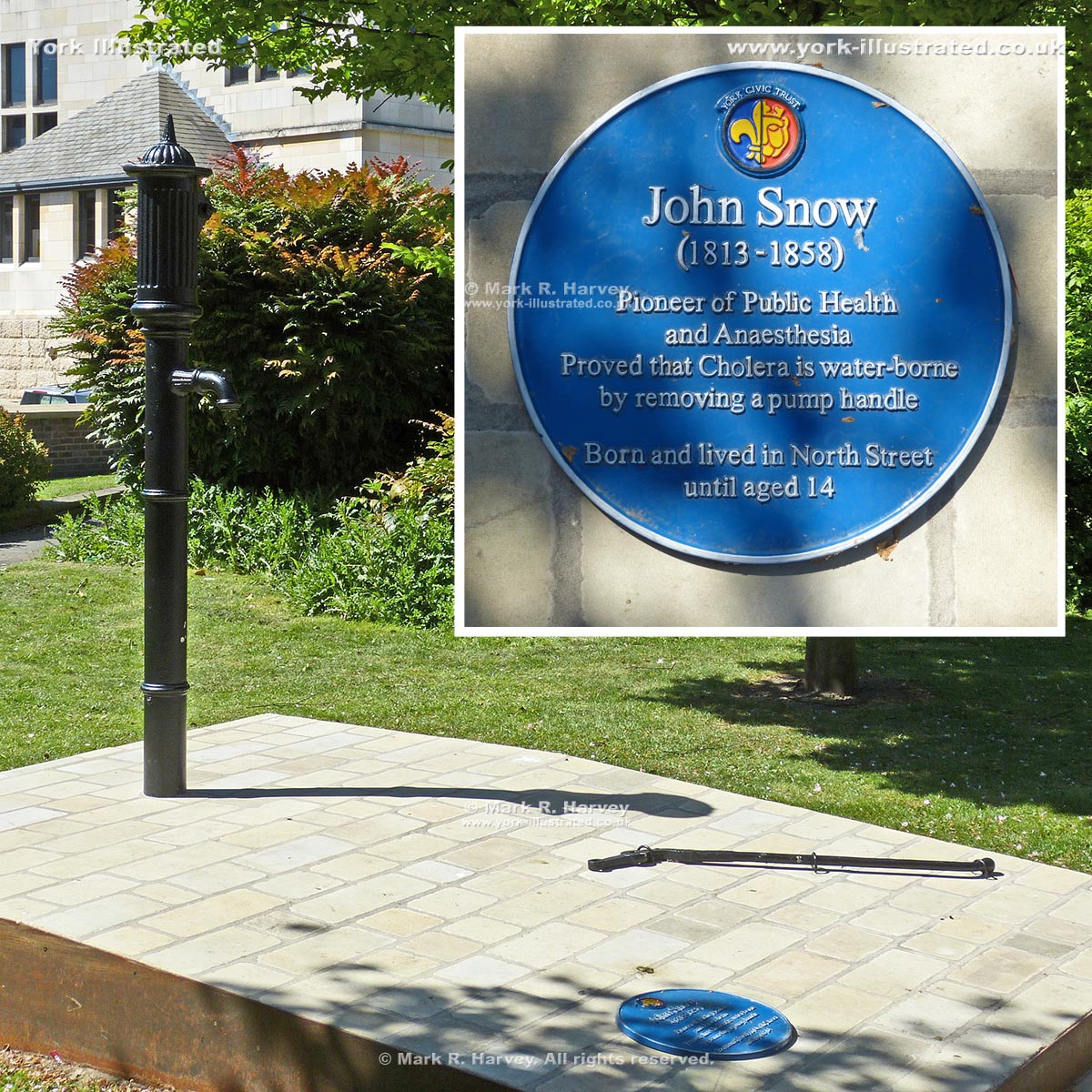
John Snow Memorial

Photo as per caption. Opens larger version.

In 1854, York-born physician John Snow confirmed the link between cholera and polluted water by removing the handle of a communal water pump in London's Soho.

Read more

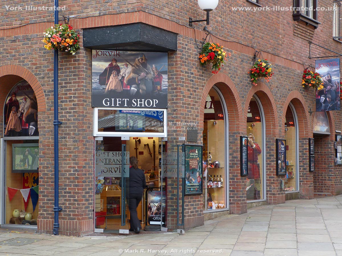
Jorvik Viking Centre

Photo as per caption. Opens larger version.

The Jorvik Viking Centre is a purpose-built visitor attraction that tells the story of the Coppergate area of York during the tenth century.

Read more

King's Fishpond

Photo as per caption. Opens larger version.

'The King's Fishpond' was a large man-made lake that was created by damming the River Foss. It formed a key part of the city's defences for almost 600 years.

Read more

King's Manor

Photo as per caption. Opens larger version.

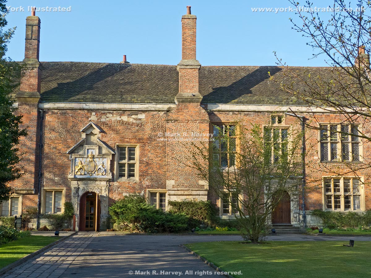
This site has a fascinating history. From medieval times until 1539, it was the residence of the Abbot of St Mary’s Abbey. Until 1641, it was the official residence of the President of the King's 'Council in the North'.

Read more

King's Square

Photo as per caption. Opens larger version.

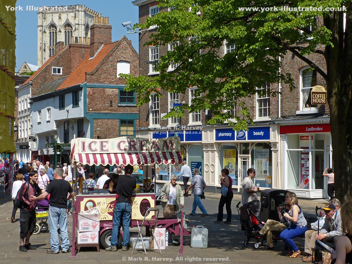
King's Square lies on the site of a Viking palace. The triangular 'square' was created in 1937, after the redundant Holy Trinity church was demolished.

King's Staith

Photo as per caption. Opens larger version.

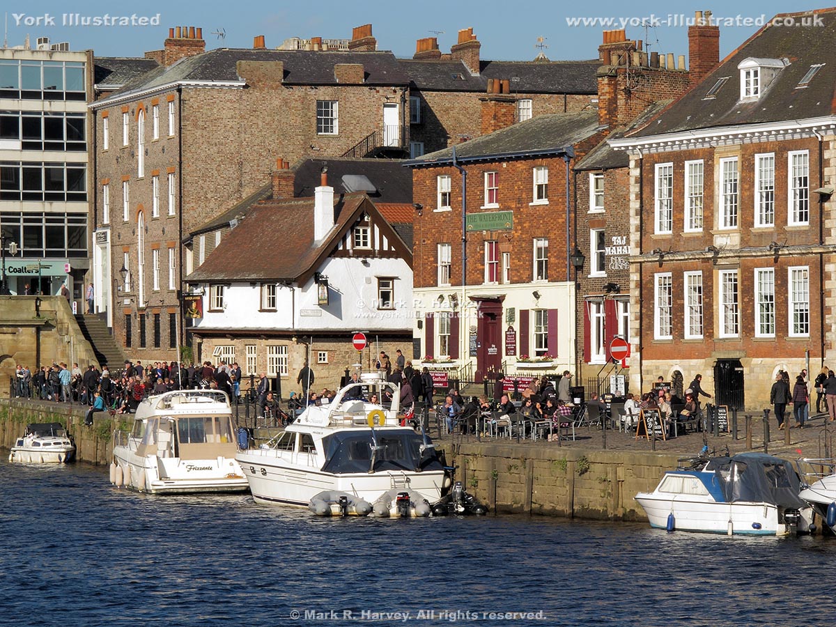
King's Staith was the city's main quayside during the medieval period. It is now a popular and characterful leisure location (except when the River Ouse is in flood).

Read more

Lady Row

Photo as per caption. Opens larger version.

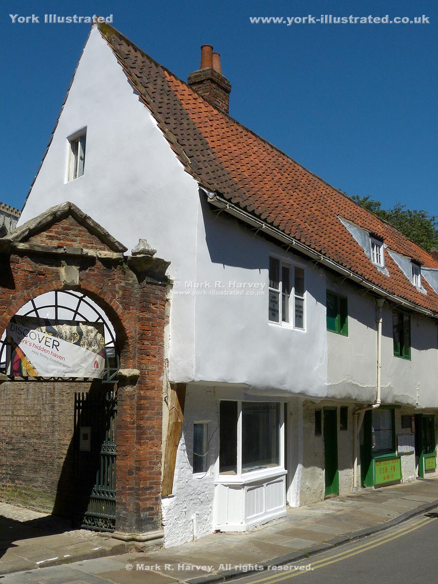
Lady Row (60 to 72 Goodramgate) is the oldest-known timber-framed building in York. It was built in 1316 on land owned by the adjacant Holy Trinity Church.

Leeman Road War Memorial Garden

Photo as per caption. Opens larger version.

This small formal garden between Leeman Road and the River Ouse was created to provide a pleasant contemplative setting for the city's main war memorial.

Read more

Pages