The Gazetteer provides illustrated introductions to hundreds of 'free-to-view' and 'not-for-profit' locations that you might like to seek-out during a real-world sightseeing visit to the historic city of York.

By default, every location in the database is listed. If desired, set the star rating, place type OR zone filter below, then click / tap on the 'Apply Filters' button to restrict the list to the matching locations.

Show / hide tips below.
  • To speed-up page-loading, a maximum of 24 locations are displayed on each page.
  • If more than 24 locations match the filter settings, click / tap on the page navigation buttons (located below the list) to display the additional page(s).
  • The locations are listed in alphabetical order of the place name (reading from top-left to bottom-right).
  • To avoid frustrating 'nil returns', use one filter only (leaving the others set to 'Any').
  • To view a larger version of an image, click on its thumbnail. If you are using a device with a screen width of 400px or more and with JavaScript enabled, you should be able to view the images in a slideshow overlay.
    (NB: The slideshow will not run on devices with a screen width of less than 400px, or if you attempt to open it in a new window.)
  • To access the geolocation details and view all available information for a location, click / tap on its place name or 'Read more' button.
  • If a 'Read more' button is provided, a brief article and / or a high quality external link is also available.
Lendal Boatyard

Photo as per caption. Opens larger version.

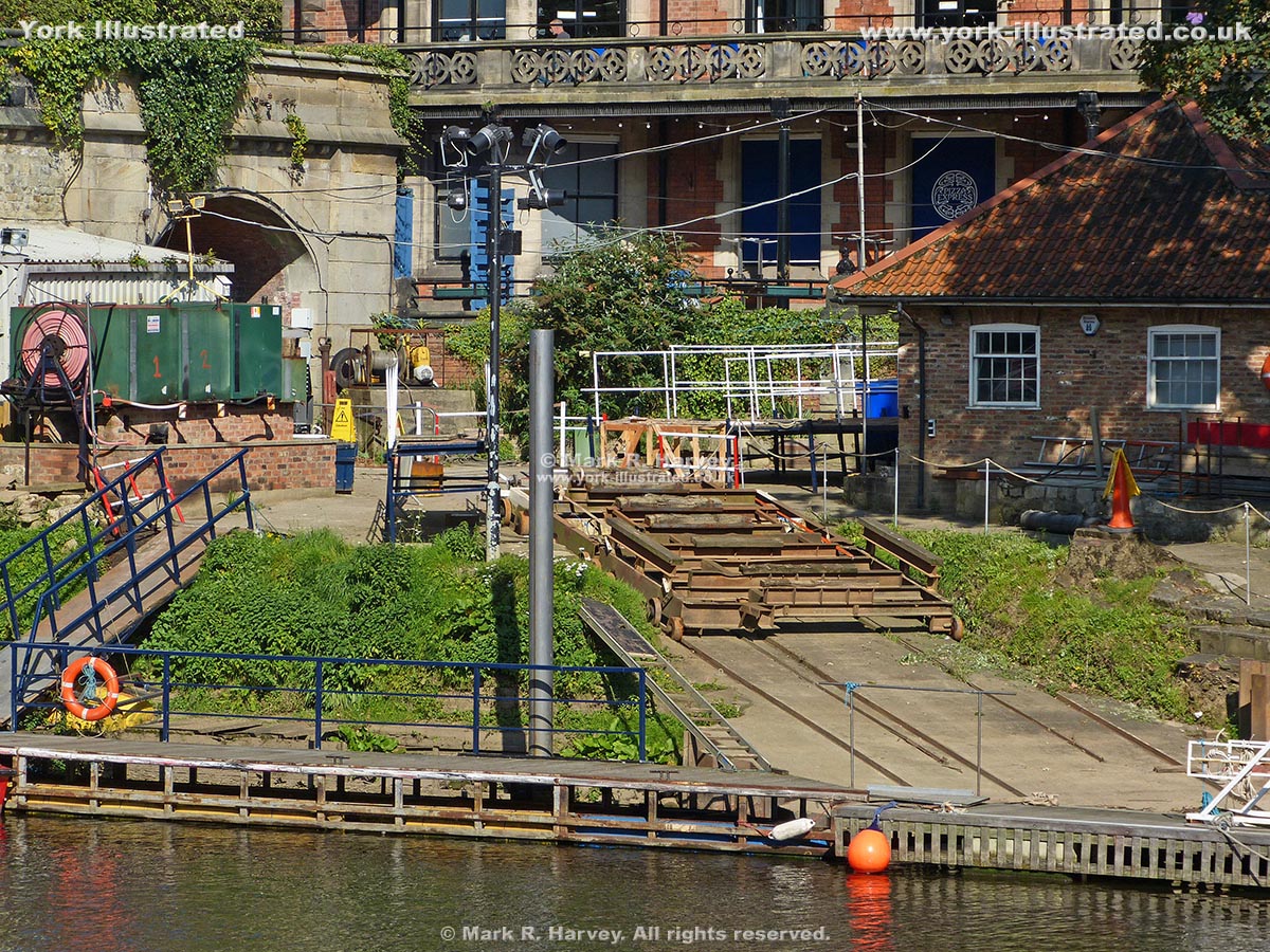
Lendal Boatyard is now the operating base for the city's commercial tour boats, but the site originally provided moorings for water-born visitors to River House.

Lendal Bridge

Photo as per caption. Opens larger version.

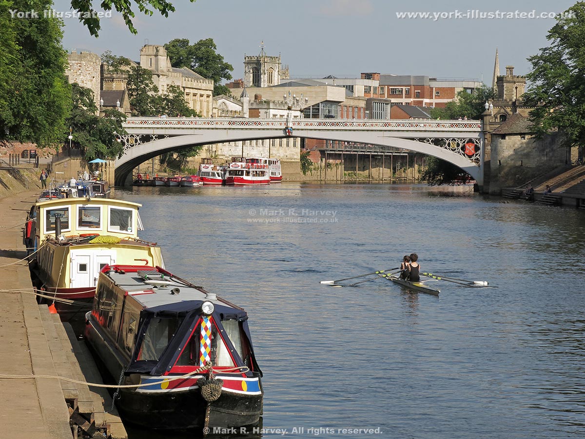
Lendal Bridge offers superb views along the River Ouse. It was built to link York's commercial district with the railway station and it opened in 1863.

Read more

Lendal Bridge Sub-Station

Photo as per caption. Opens larger version.

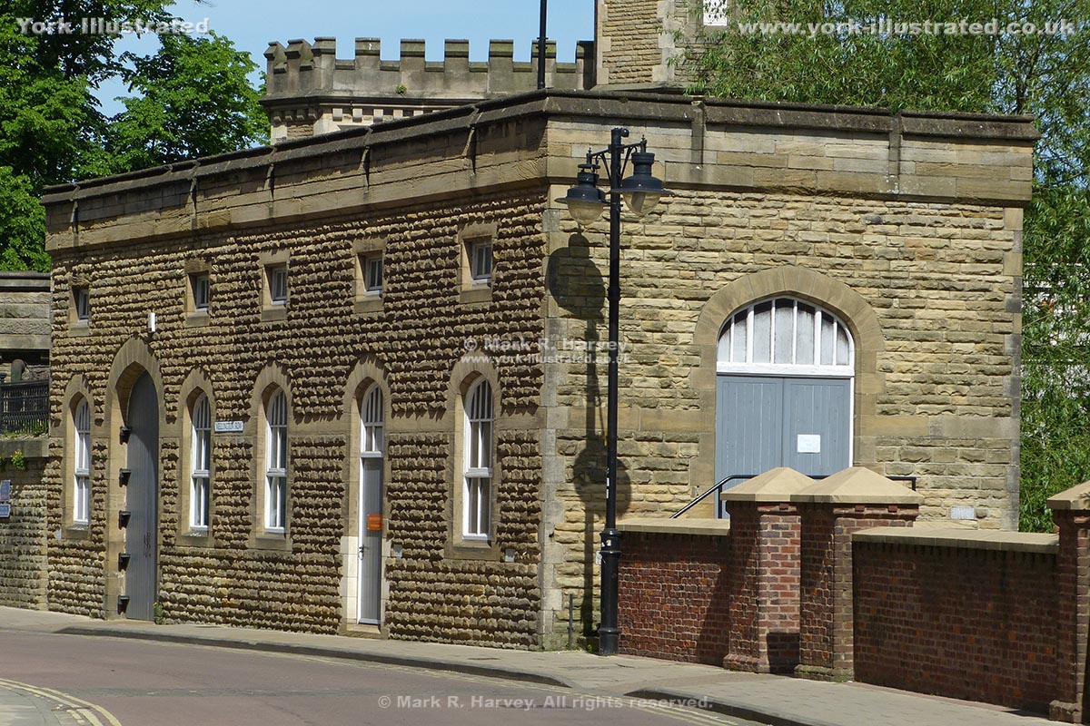
This attractive little building was constructed circa 1920 by York Corporation to house an electricity sub-station. It was converted for commercial use in 2010.

Read more

Lendal Tower

Photo as per caption. Opens larger version.

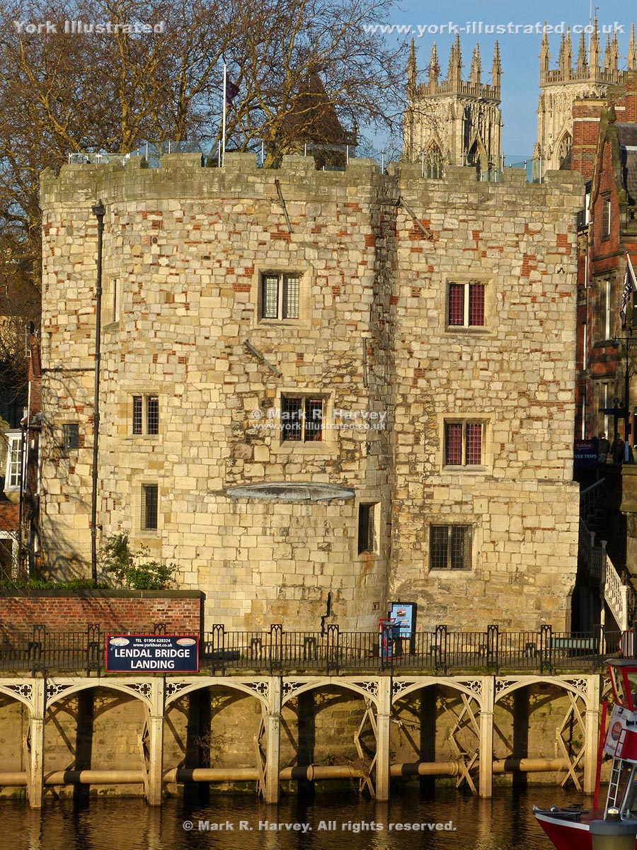
When Lendal Tower was built in the early 14th century, it was a small drum tower (similar to Barker Tower, on the opposite bank of the river).

Read more

Little Shambles

Photo as per caption. Opens larger version.

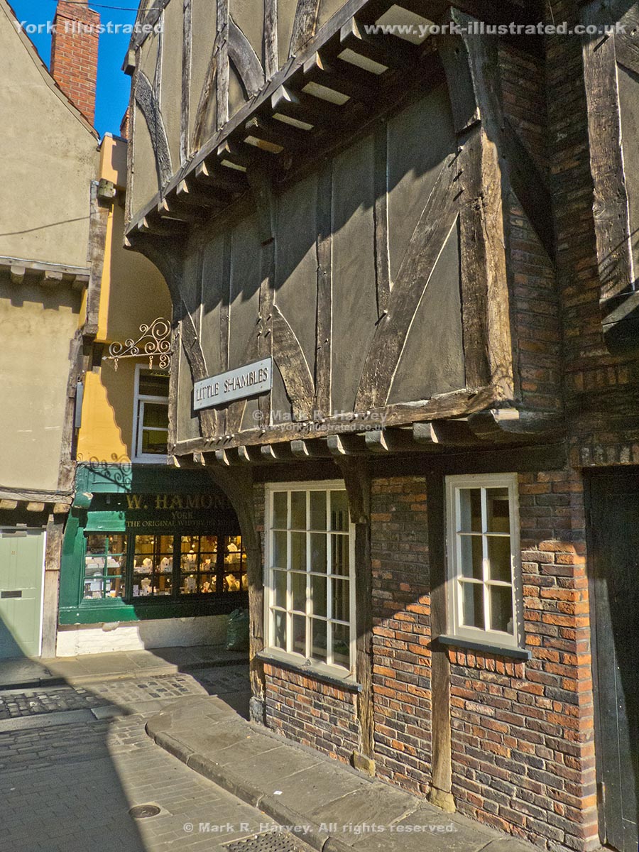
Little Shambles links the Shambles with Newgate Market. Narrow streets and jettied, timber-framed buildings give the area a 'medieval' character.

Low Petergate

Photo as per caption. Opens larger version.

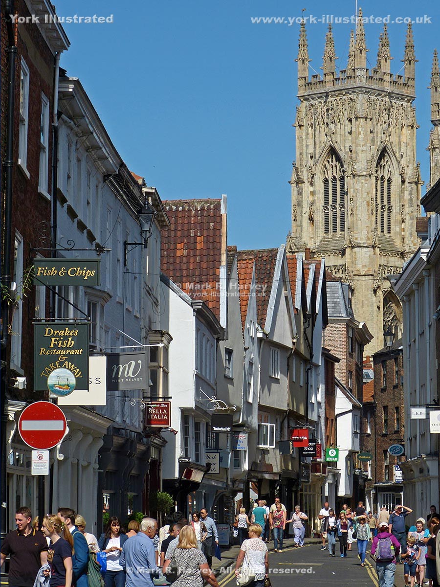
Petergate is named after York Minster, which is dedicated to St Peter. The first recorded use of the names High Petergate and Low Petergate dates from 1736.

Lower Priory Street Children's Playground

Photo as per caption. Opens larger version.

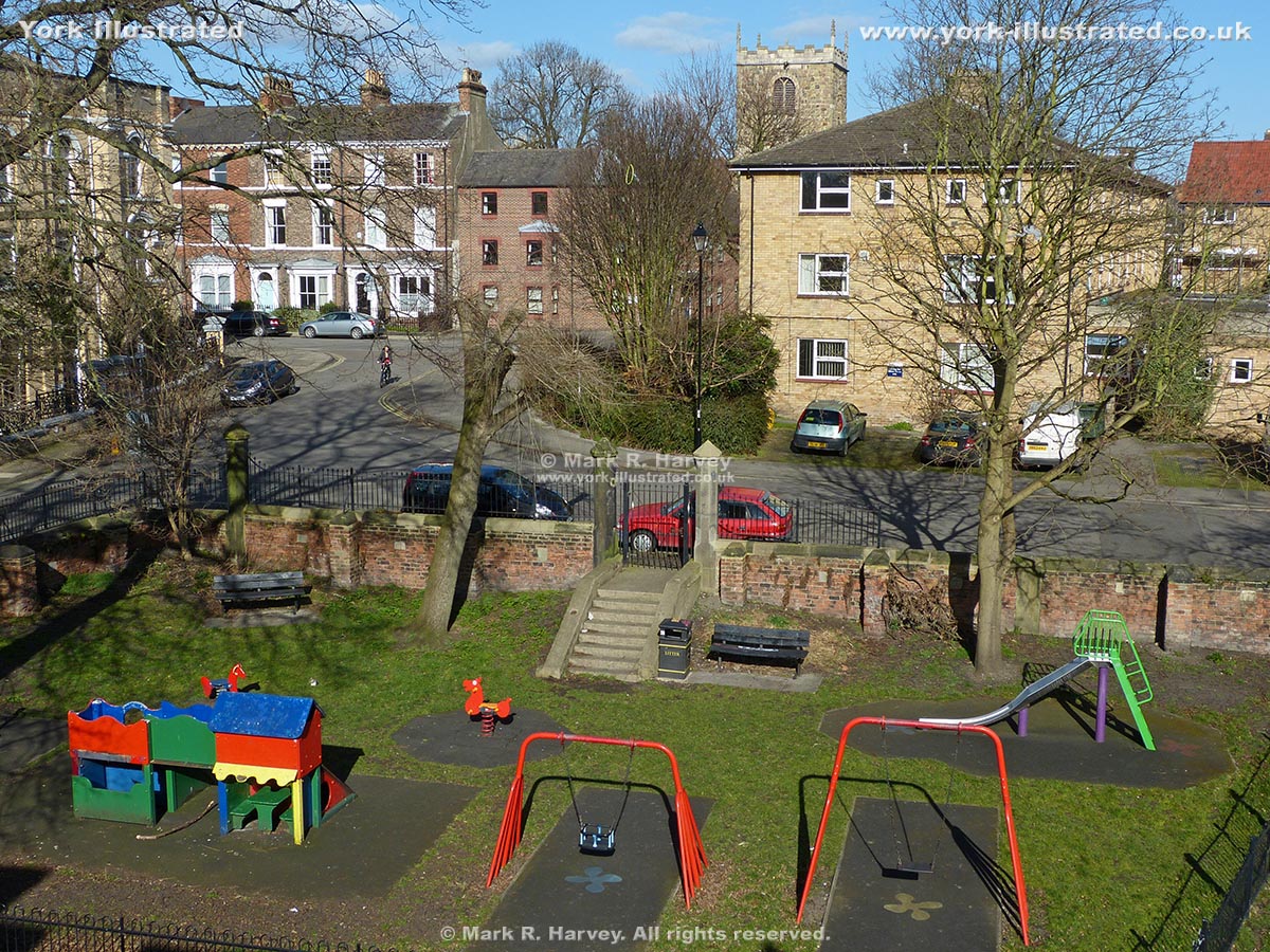
If you're doing the city's famous Wall Walk with young children, the small but well equipped children's playground on Lower Priory Street may be worth a short diversion

Mansion House

Photo as per caption. Opens larger version.

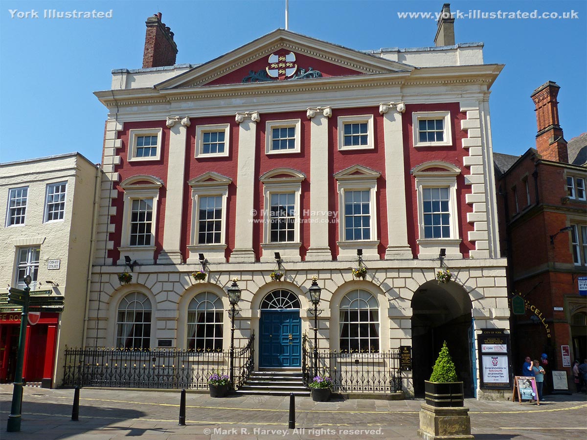
This attractive building is the official residence of the Lord Mayor of York. Built between 1725-1733, it is the oldest surviving mayoral residence in England.

Read more

Margaret Clitherow's Chapel and Shrine

Photo as per caption. Opens larger version.

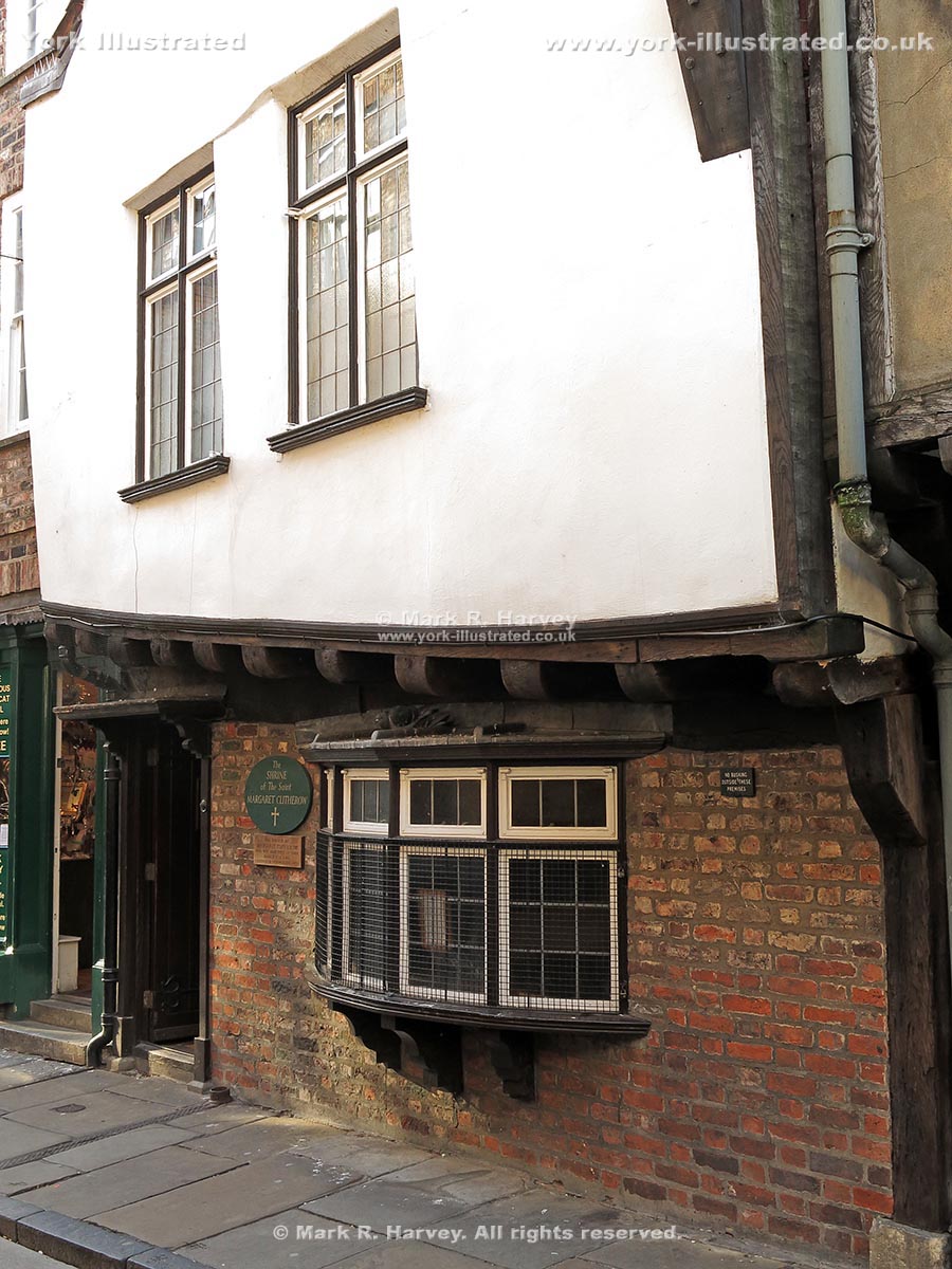
No. 35 Shambles is a chapel and shrine dedicated to Margaret Clitherow, a devout Roman Catholic who was crushed to death in 1586 for hiding a Jesuit priest.

Read more

Mason's Lodge

Photo as per caption. Opens larger version.

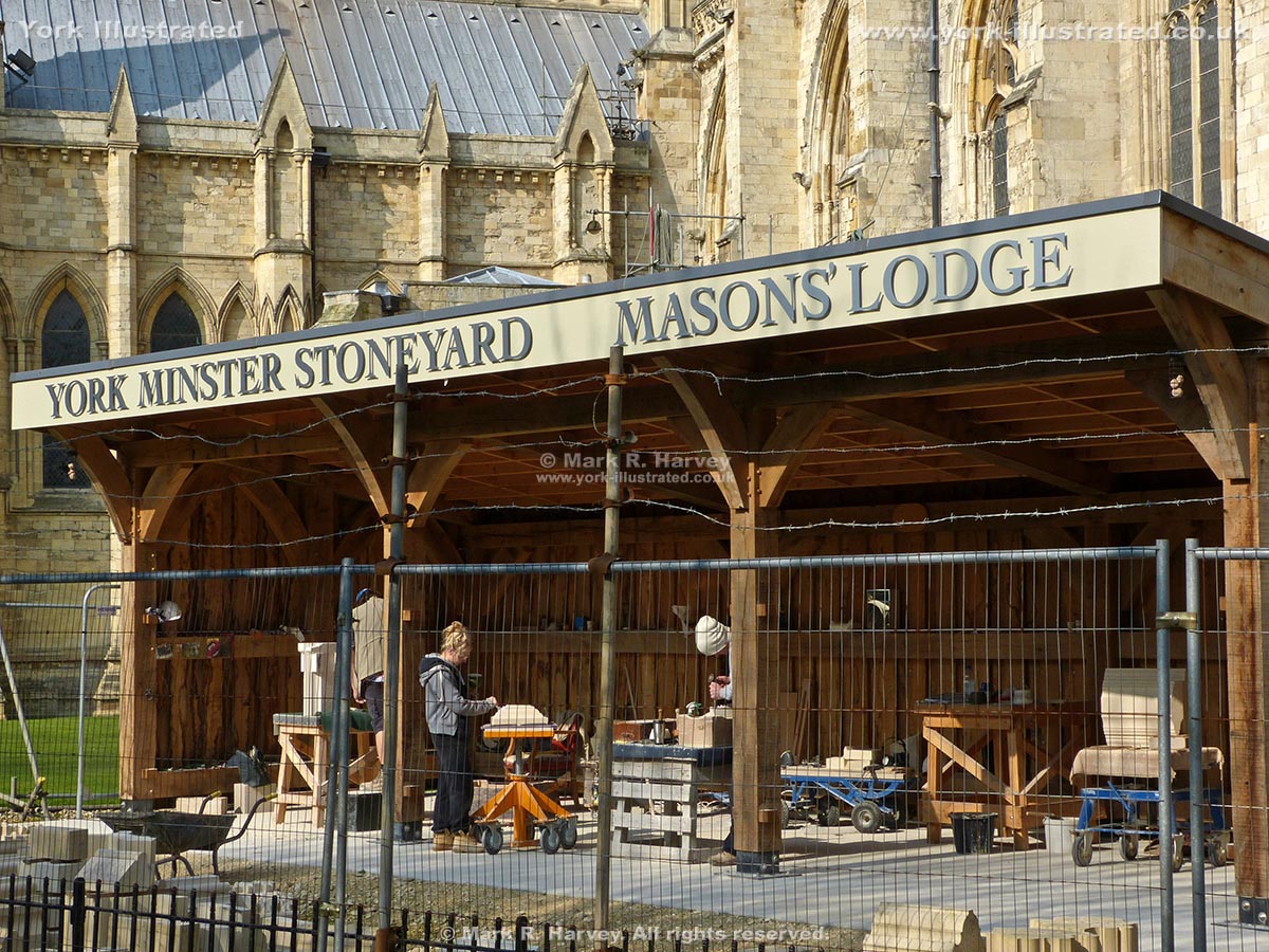
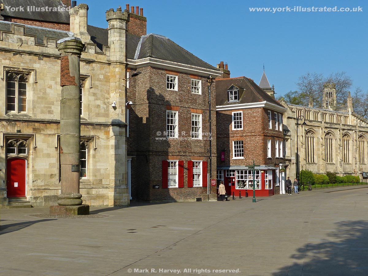
As part of the never-ending process of repairing York Minster, stonemasons use the Mason's Lodge to carve replacements for damaged and weathered stonework.

Read more

Merchant Adventurers' Hall

Photo as per caption. Opens larger version.

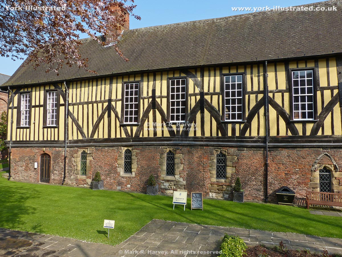
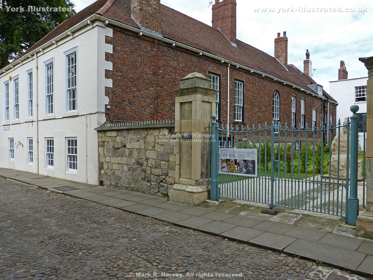
This picturesque guildhall is set in a peaceful small garden beside the River Foss. It was built in 14th century by the Company of Merchant Adventurers.

Read more

Mermaid Figurehead

Photo as per caption. Opens larger version.

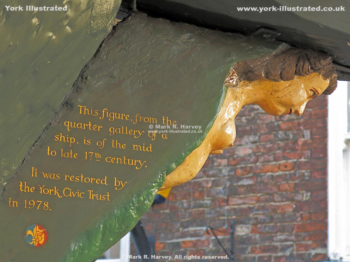
The mermaid on the corner post of number 13 Stonegate is believed to have been carved as a ship’s figurehead in the mid to late 17th century.

Read more

Micklegate

Photo as per caption. Opens larger version.

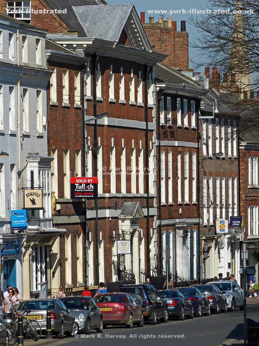
Micklegate links Micklegate Bar with the city centre via Ouse Bridge. The blend of medieval, Georgian and more recent buildings create a unique atmosphere.

Read more

Micklegate Bar

Photo as per caption. Opens larger version.


Micklegate Bar is the grand ceremonial entrance to the city of York. It has protected and controlled the city's southwestern approaches since the 12th century.

Read more

Millennium Bridge

Photo as per caption. Opens larger version.

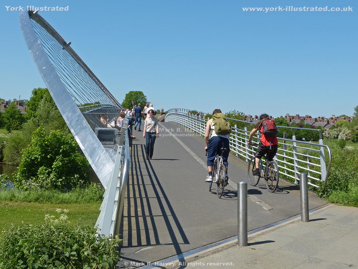
York's Millennium Bridge is a combination of footpath, cycle-route, bench-seat, viewpoint and sculpture that spans the River Ouse close to Rowntree Park.

Read more

Minerva 3D Bookshop Sign

Photo as per caption. Opens larger version.

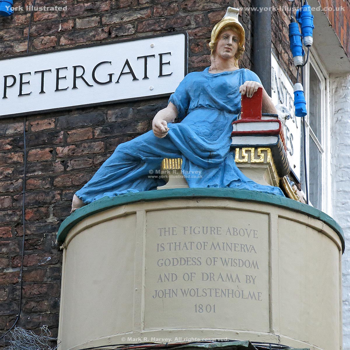
This carving of Minerva with books, owl and theatrical mask was installed in 1801 to promote a bookshop on the corner of High Petergate and Minster Gates.

Read more

Minster Gatehouse

Photo as per caption. Opens larger version.

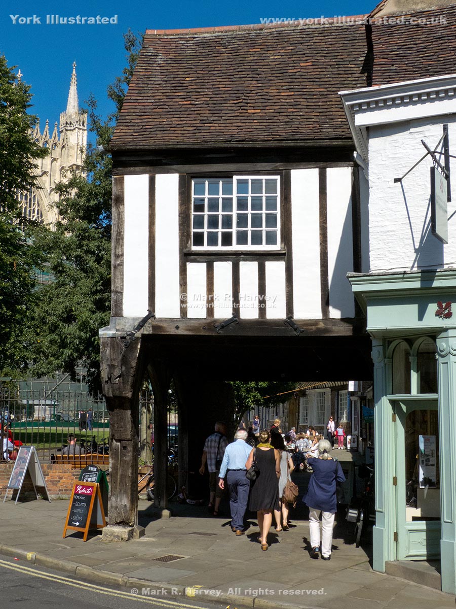
The Minster Gatehouse straddles the original alignment of College Street. The gates controlled access to the precinct of York Minster from Goodramgate.

Read more

Minster Library

Photo as per caption. Opens larger version.

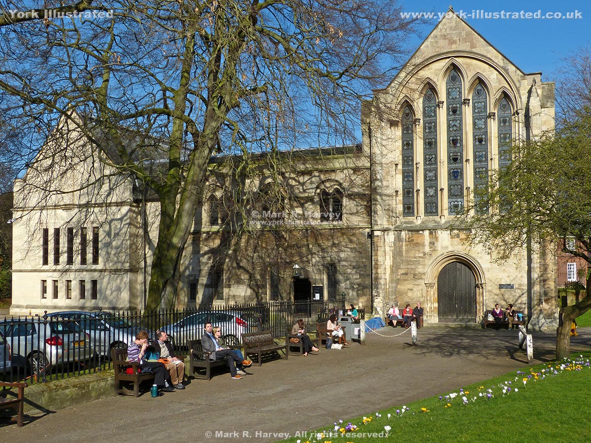
The Grade I Listed Minster Library building in Dean's Park incorporates the remains of the 13th century chapel of the Medieval palace of the Archbishop of York.

Read more

Minster Yard (north)

Photo as per caption. Opens larger version.

Minster Yard (north) is a relatively quiet street within the Liberty of St Peter, to the north of York Minster and the Dean's Park.

Minster Yard (south)

Photo as per caption. Opens larger version.

Minster Yard (south) is a pleasant and popular pedestrianised street adjacent to the south transept of York Minster, within the Liberty of St Peter.

Monk Bar

Photo as per caption. Opens larger version.


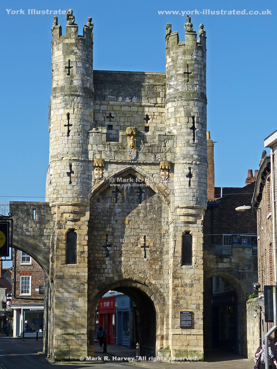
Monk Bar is the tallest and strongest of the York's four main gateways. It was built in the 14th - 15th centuries to protect the city's northeastern approaches.

Read more

Multangular Tower

Photo as per caption. Opens larger version.

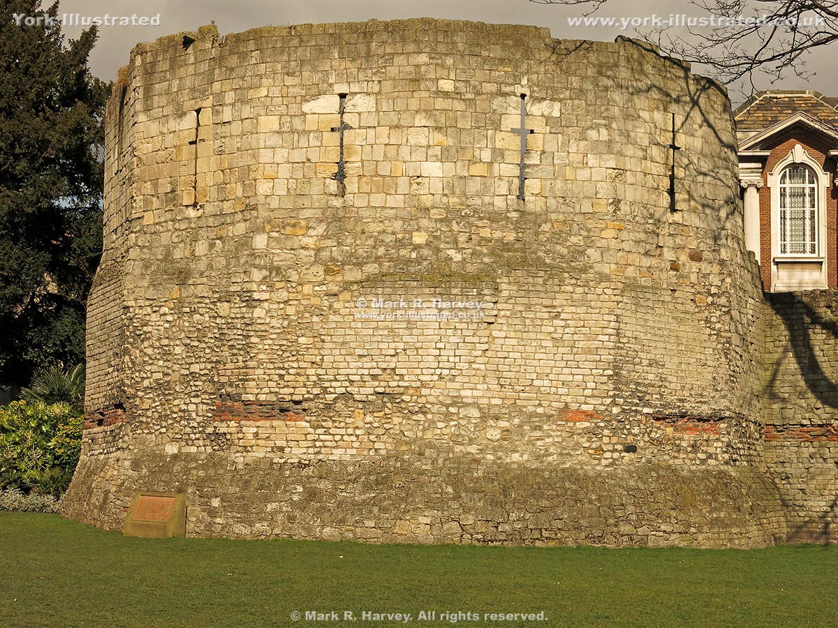
The Grade I listed Multangular Tower incorporates the base of the second century* western angle tower of the Roman legionary fortress of Eboracum.

Read more

Museum Gardens

Photo as per caption. Opens larger version.

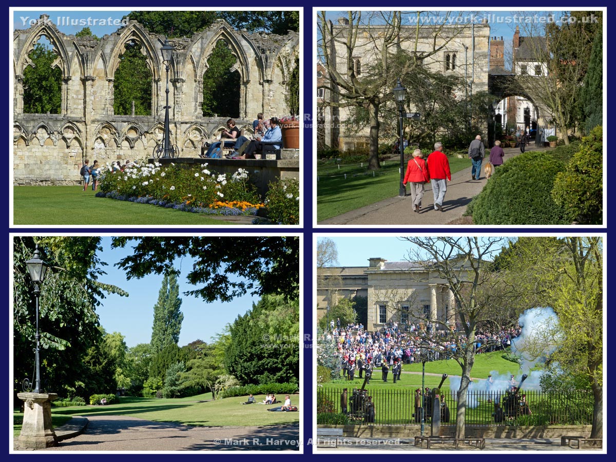
Museum Gardens is a beautiful park set within the walls of the ruined St Mary's Abbey, right next to the city centre. It is perfect for a peaceful walk/picnic.

Read more

Museum Street Drinking Fountain

Photo as per caption. Opens larger version.

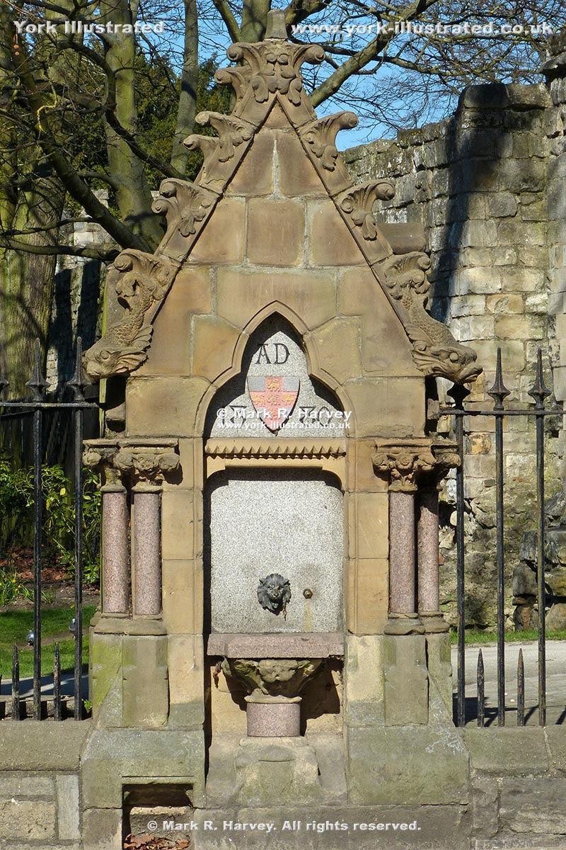
The drinking fountain between Museum Gardens and Museum Street was installed in 1880 to provide York citizens with a convenient source of clean water.

Read more

Pages