The Gazetteer provides illustrated introductions to hundreds of 'free-to-view' and 'not-for-profit' locations that you might like to seek-out during a real-world sightseeing visit to the historic city of York.

By default, every location in the database is listed. If desired, set the star rating, place type OR zone filter below, then click / tap on the 'Apply Filters' button to restrict the list to the matching locations.

Show / hide tips below.
  • To speed-up page-loading, a maximum of 24 locations are displayed on each page.
  • If more than 24 locations match the filter settings, click / tap on the page navigation buttons (located below the list) to display the additional page(s).
  • The locations are listed in alphabetical order of the place name (reading from top-left to bottom-right).
  • To avoid frustrating 'nil returns', use one filter only (leaving the others set to 'Any').
  • To view a larger version of an image, click on its thumbnail. If you are using a device with a screen width of 400px or more and with JavaScript enabled, you should be able to view the images in a slideshow overlay.
    (NB: The slideshow will not run on devices with a screen width of less than 400px, or if you attempt to open it in a new window.)
  • To access the geolocation details and view all available information for a location, click / tap on its place name or 'Read more' button.
  • If a 'Read more' button is provided, a brief article and / or a high quality external link is also available.
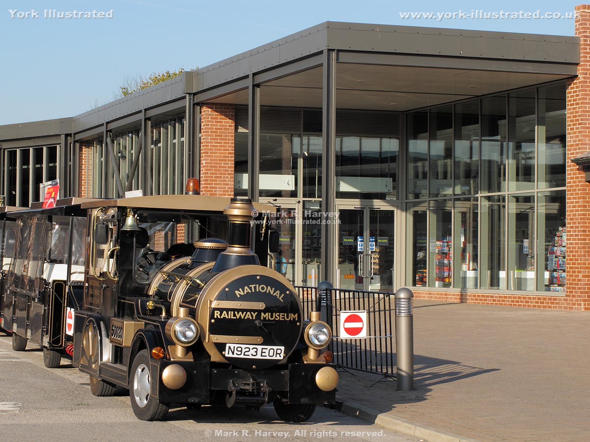
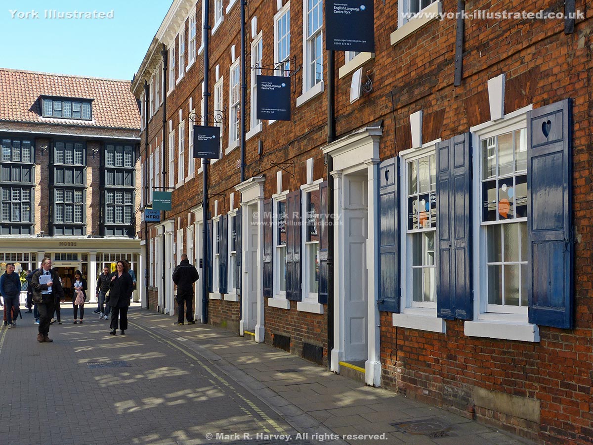
National Railway Museum (NRM)

Photo as per caption. Opens larger version.

The museum claims to house the largest collection of railway-related objects in the world. It has an extensive collection of locomotives, passenger and freight rolling stock, signalling equipment and documents (including photographs, maps and plans).

Read more

New Street

Photo as per caption. Opens larger version.

New Street was created between 1744 and 1747. The work involved demolishing two derelict properties: Davy Hall on Davygate and a house on Coney Street.

Read more

New Walk

Photo as per caption. Opens larger version.

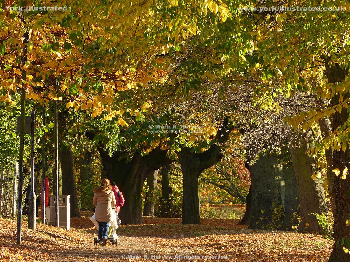
The New Walk is a ¾ mile (1.2 km) long riverside footpath and cycle route linking Tower Gardens and the South Esplanade with the Millennium Footbridge.

Read more

Newgate

Photo as per caption. Opens larger version.

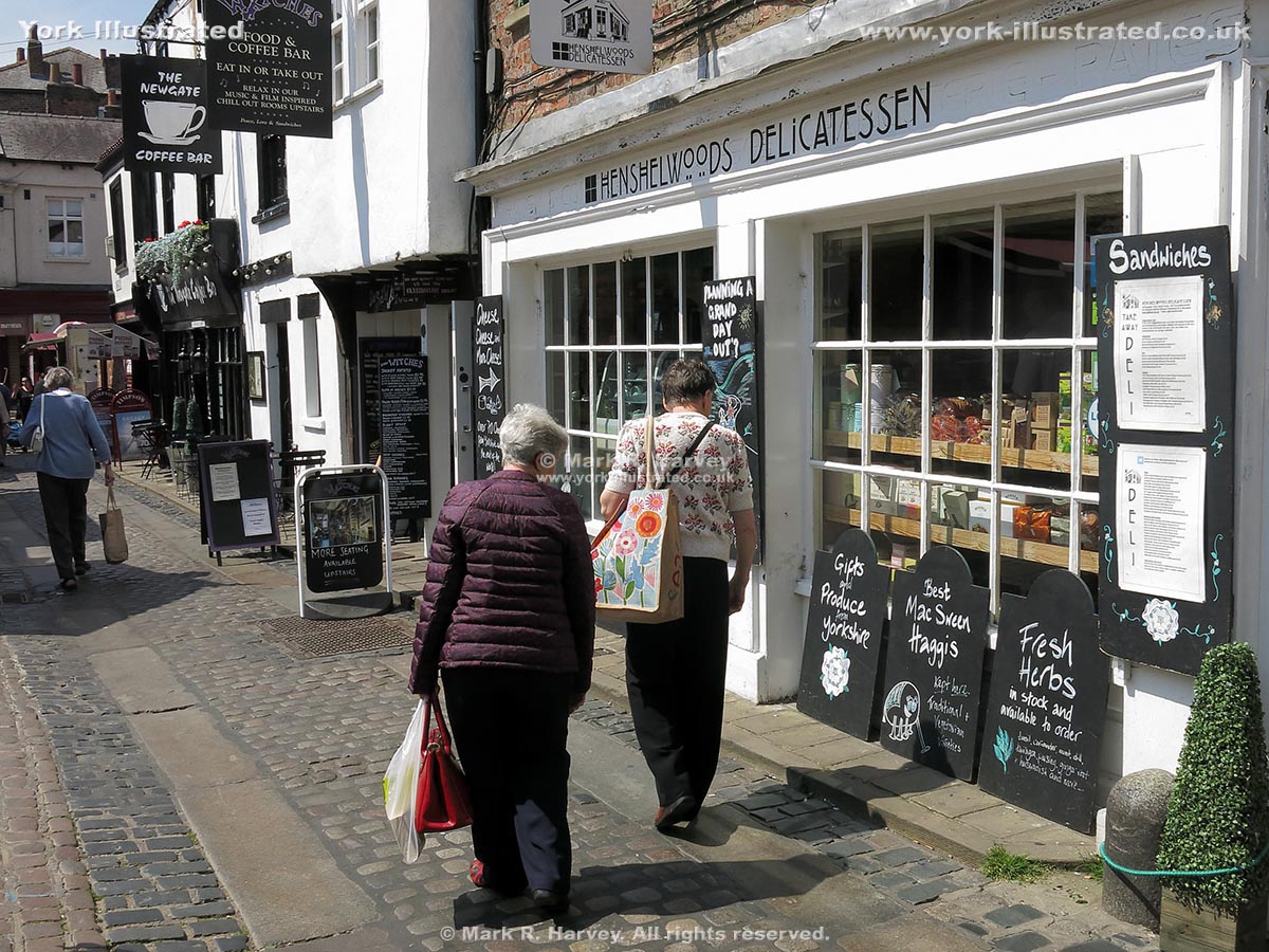
Newgate is neither new, nor a gate. It is a fascinating cobbled street in the heart of York that was first recorded (as 'Le Newgate') in a document dated 1336.

Read more

North Eastern Railway War Memorial

Photo as per caption. Opens larger version.

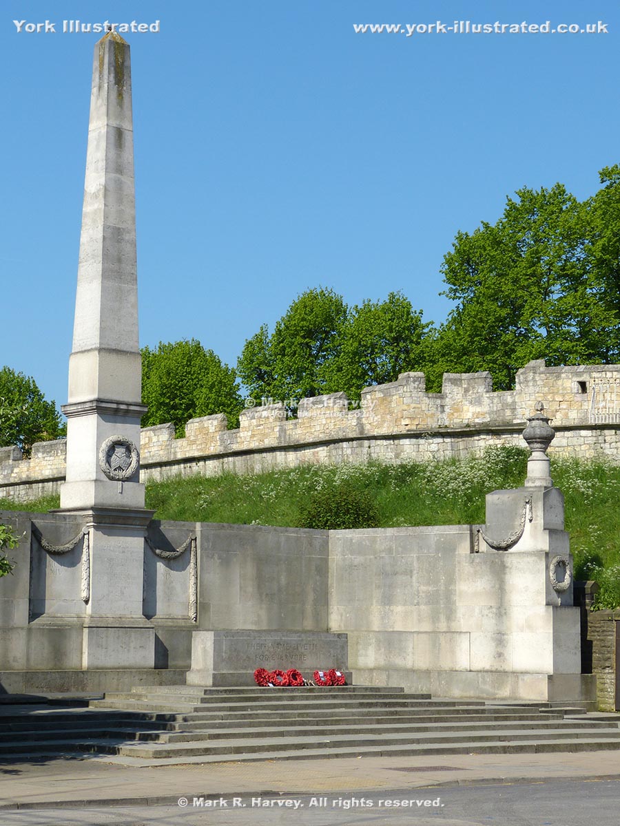
This memorial was built to commemorate 2,236 NER employees killed during the First World War. It was designed by Sir Edwin Lutyens and unveiled on 14 June 1924.

Read more

North Street Gardens

Photo as per caption. Opens larger version.

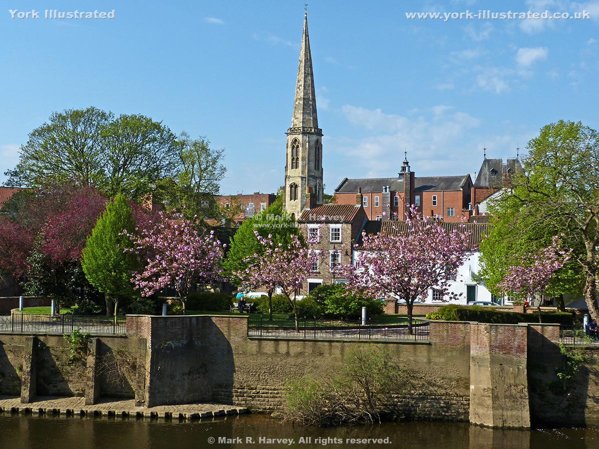
This pleasant oasis beside the River Ouse was donated to the city of York in 1959. The site was previously occupied by a flour mill and Rowntree’s Cocoa Works.

Read more

North Street Postern

Photo as per caption. Opens larger version.

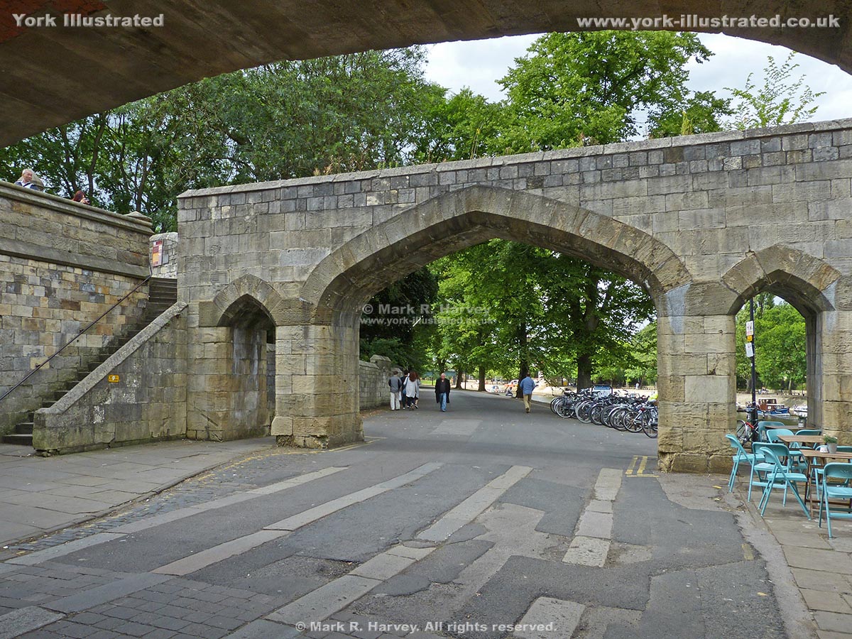
The triple arch beside Barker Tower dates from the Victorian period. It replaced an earlier small defensive gateway known as North Street Postern.

Read more

Nunnery Lane Public Toilets

Photo as per caption. Opens larger version.

These conveniences are located just around the corner from Micklegate Bar (handy for the Wall Walk). They tend to be quiet as they primarily serve the car-park.

Read more

Ogleforth

Photo as per caption. Opens larger version.

Between the late 13th and the early 18th centuries, Ogleforth was home to one of the gateways that separated the Minster Precincts from York city centre.

Read more

Ouse Bridge

Photo as per caption. Opens larger version.

The current (Grade II listed) Ouse Bridge is the third on this site in the heart of the city. It was constructed in two stages between 1810 and 1820.

Parliament Street

Photo as per caption. Opens larger version.

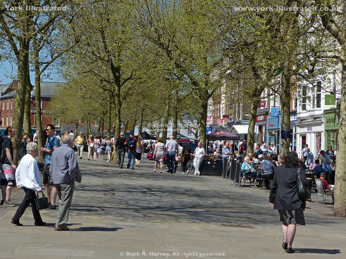
Parliament Street was created in 1835-40 to link two ancient market places (St Sampson’s Square and Pavement) and to create a single large retail market area.

Patrick Pool

Photo as per caption. Opens larger version.

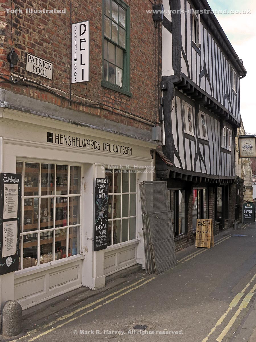
Patrick Pool is a short street linking Church Street and Newgate. Despite its short length, it boasts at least five listed buildings.

Pavement Marker for Roman Fortress Northeast Gateway (Porta Decumana)

Photo as per caption. Opens larger version.

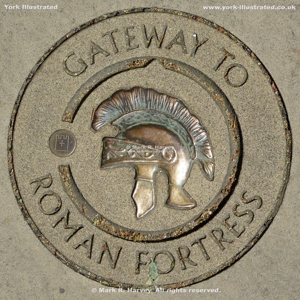
A marker carved into a paving slab on the Wall Walk to indicate the approximate location of the Porta Decumana (the northeast gateway of the Roman fortress).

Pavement Marker on New Street for Roman Fortress Southwest Wall

Photo as per caption. Opens larger version.

A brass plaque set into the pavement on New Street to indicate the approximate location of the southwest wall of the Roman fortress.

Pavement Marker on Parliament Street for Roman Fortress Southeast Wall

Photo as per caption. Opens larger version.

A brass plaque set into the pavement on Parliament Street to indicate the approximate location of the southeast wall of the Roman fortress.

Pikeing Well

Photo as per caption. Opens larger version.

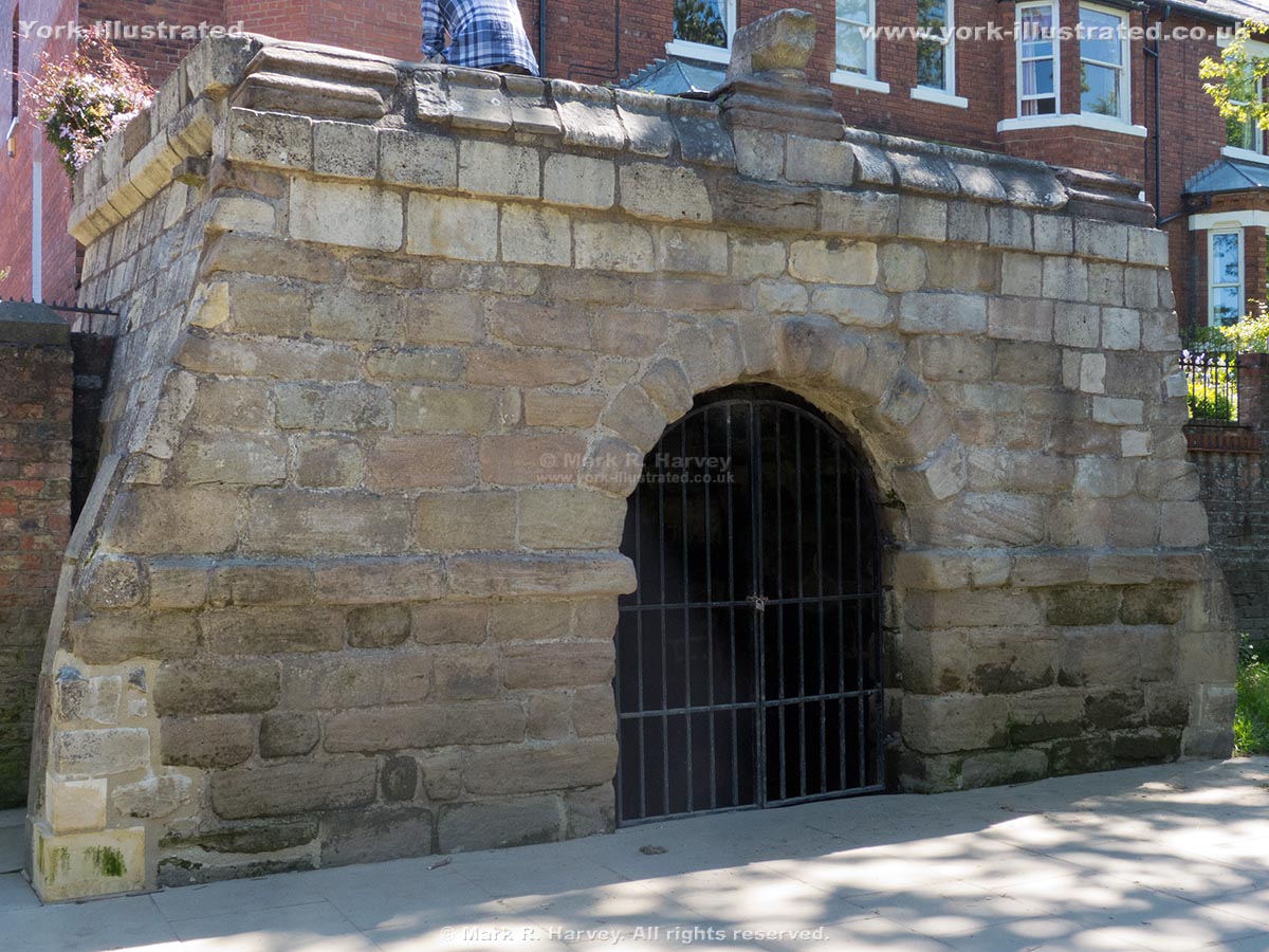
Pikeing Well is a Grade II listed well house on the site of 'a remarkably fine spring of clear water'. The water was said to have 'medicinal properties'.

Read more

Postern Tower

Photo as per caption. Opens larger version.

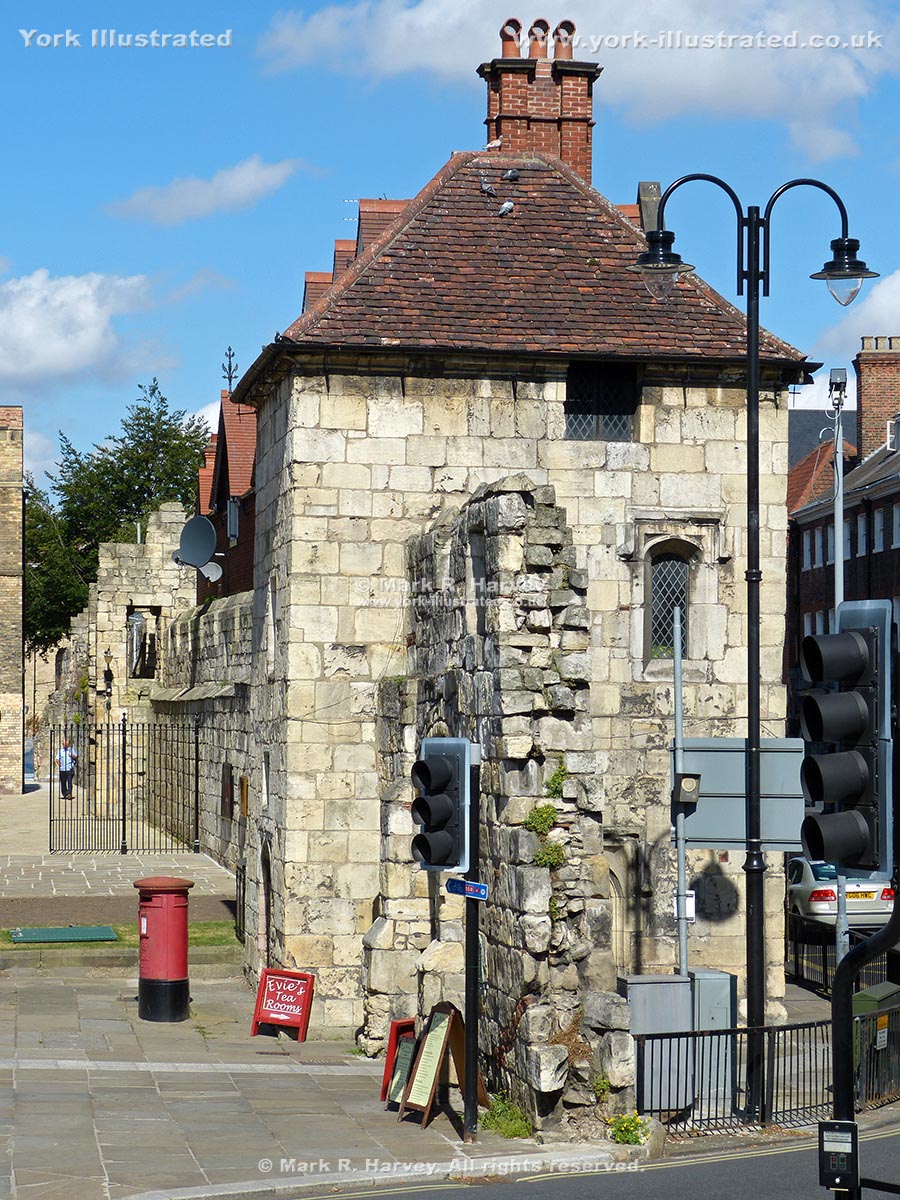
The rectangular Postern Tower (aka Bootham Tower) was built in 1497 to protect St Mary's Abbey and to control access via the adjacent postern (gateway).

Read more

Printer's Devil (a.k.a. Little Red Devil) Carving

Photo as per caption. Opens larger version.

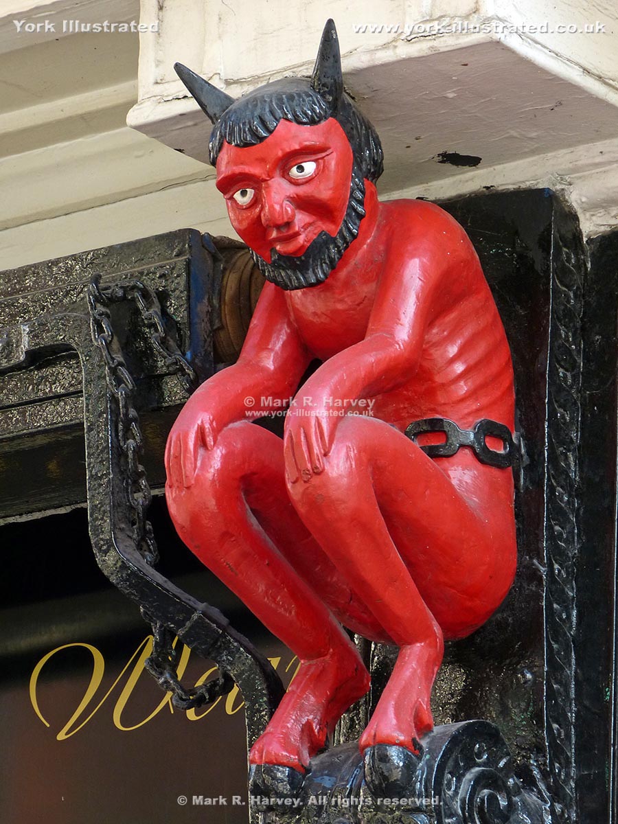
For centuries, apprentice printers were known as 'printer's devils' and 3D images like this one were commonly used to mark the location of printing workshops.

Read more

Queen Margaret's Arch

Photo as per caption. Opens larger version.

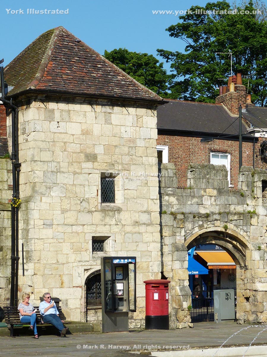
Queen Margaret's Arch (aka Bootham Postern) was built in 1497 to provide a more convenient entrance for the Abbot’s house (now known as the King’s Manor).

Read more

Queen's Path

Photo as per caption. Opens larger version.

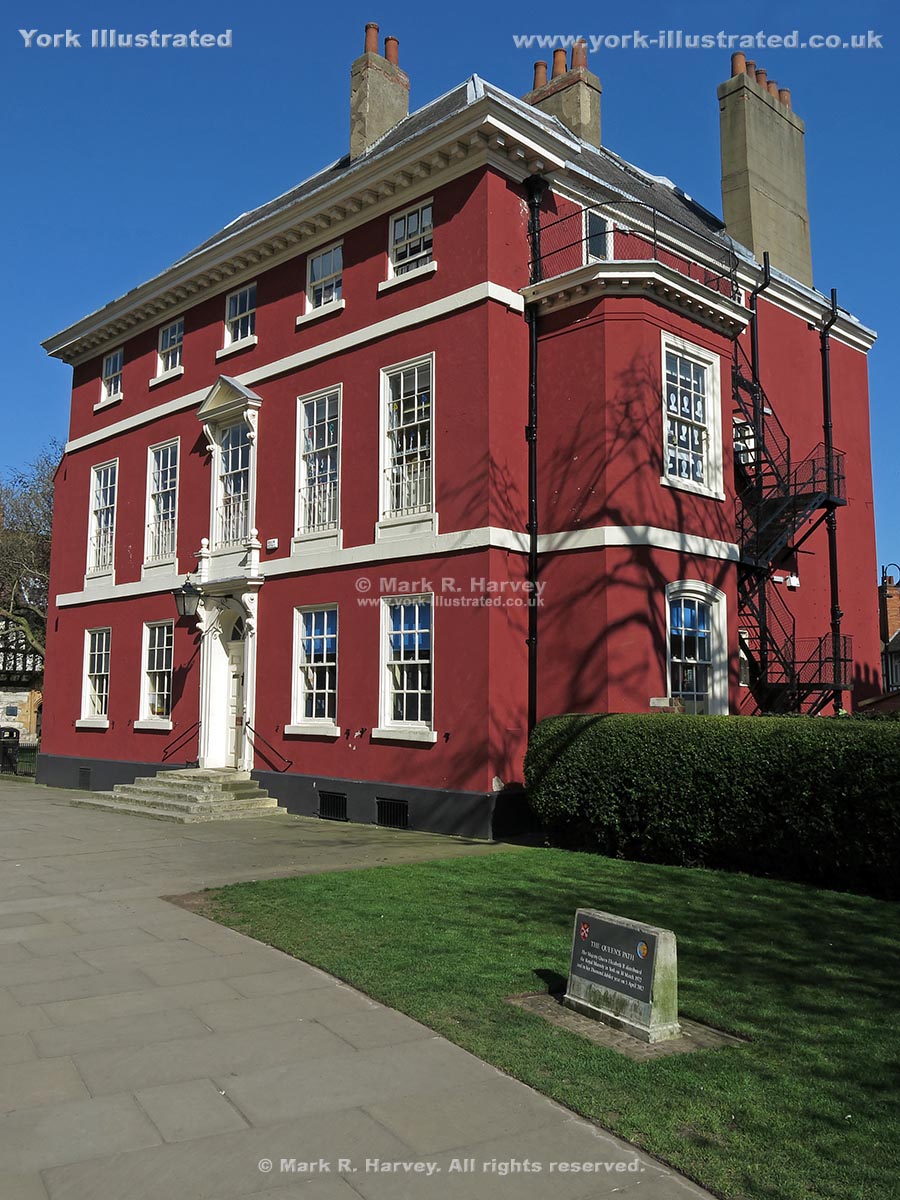
The Queen's Path links the southern and northern parts of the Minster Yard. It's name commemorates a visit to the city by Her Majesty in 1972.

Read more

Queen's Staith

Photo as per caption. Opens larger version.

The quayside known as Queen’s Staith was constructed circa 1810-1820 as part of the works to rebuild the adjacent Ouse Bridge.

Railway Access Arches

Photo as per caption. Opens larger version.

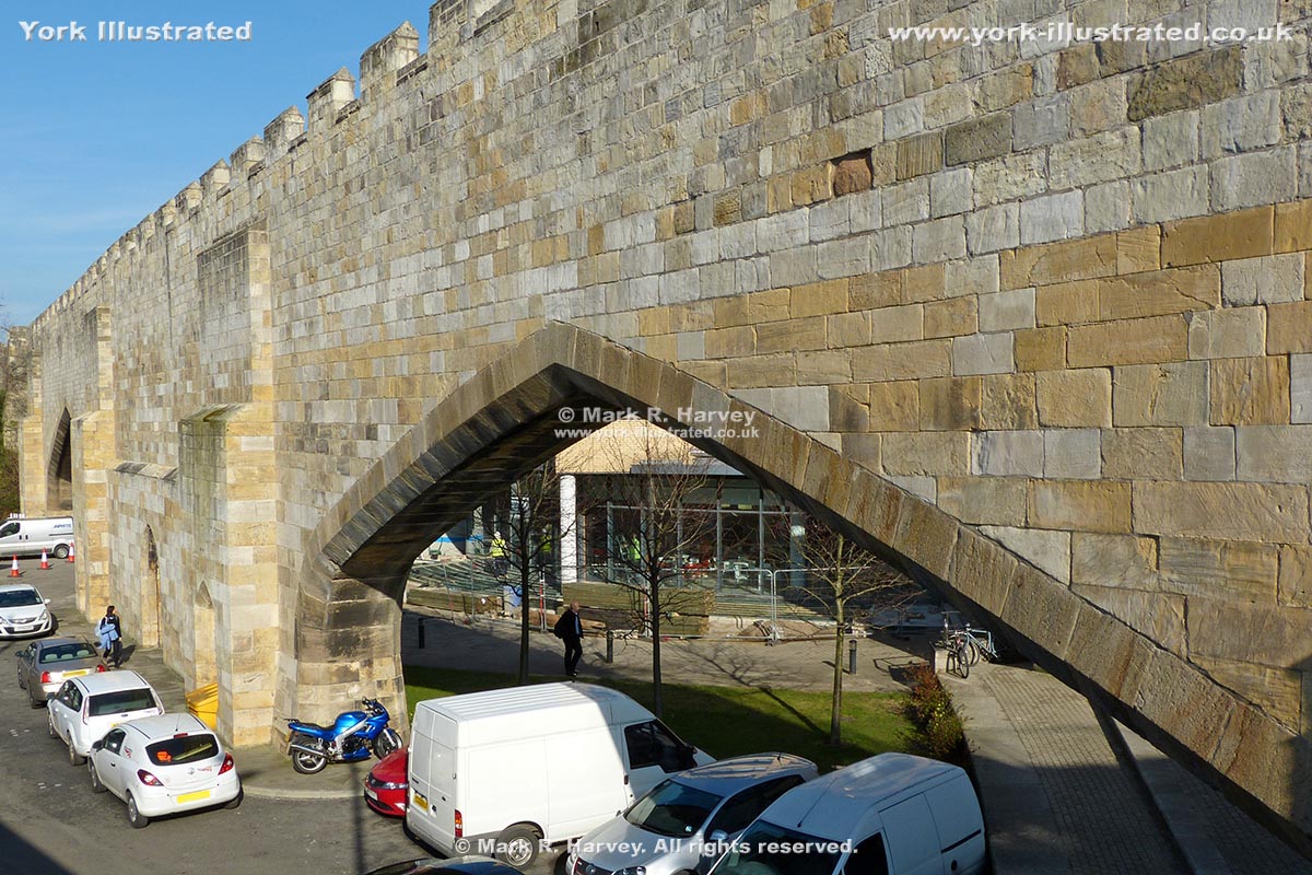
A set of three access arches were inserted into the City Wall by the York and North Midland Railway Company during the second quarter of the 19th century.

Read more

Raindale Mill

Photo as per caption. Opens larger version.

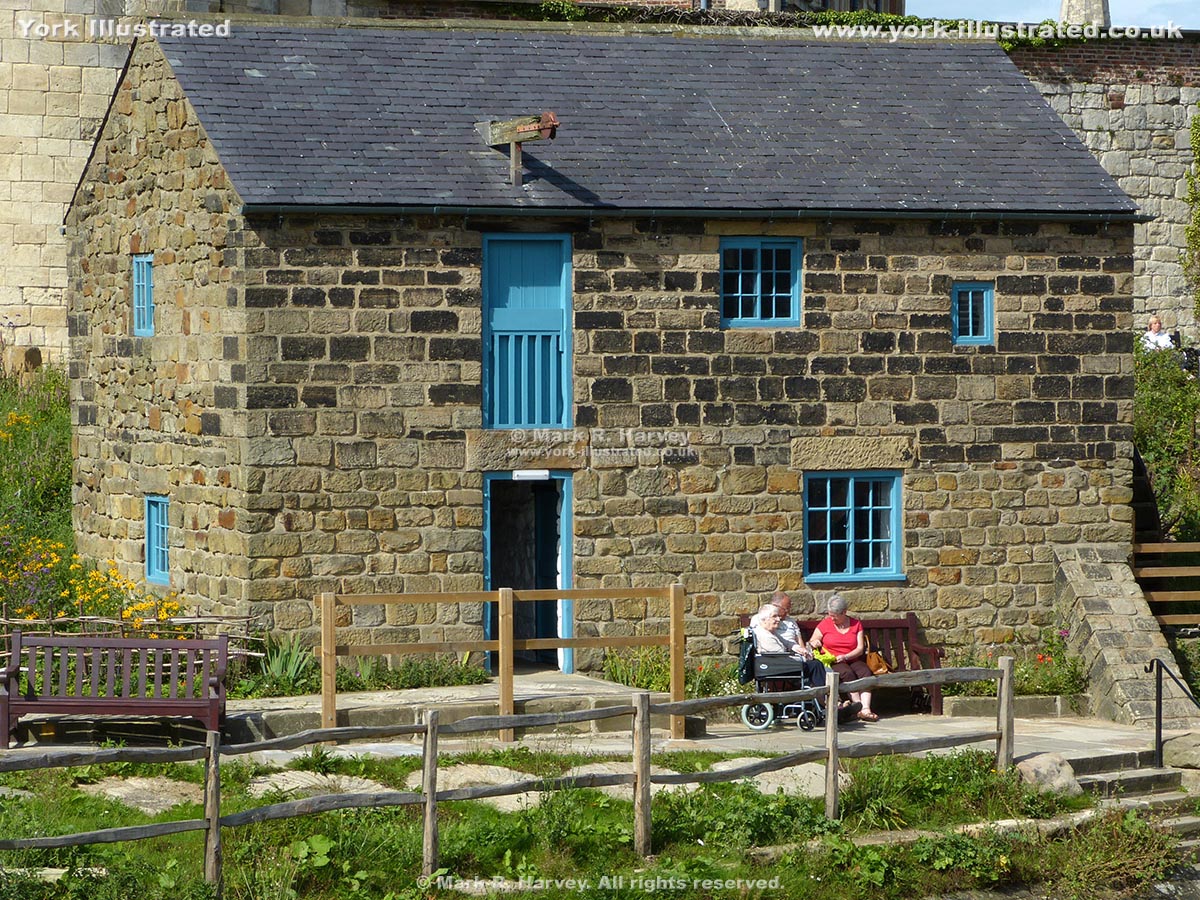
Raindale Mill is a relocated water-powered flour mill. It forms part of York Castle Museum and the machinery is operated occasionally by volunteers.

Read more

Red Tower

Photo as per caption. Opens larger version.

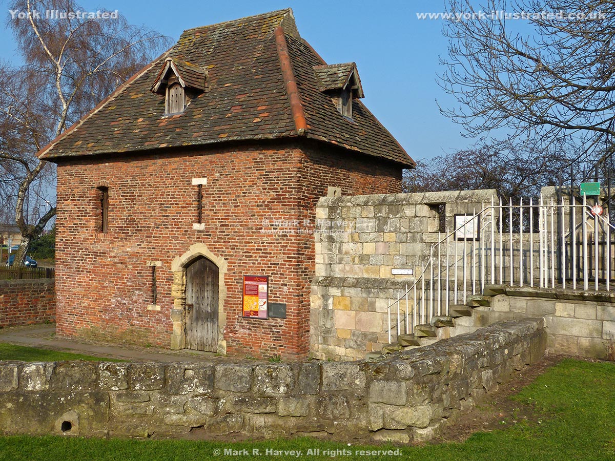
The Red Tower was built circa 1490 to strengthen the city's defences where the south eastern section of the city wall terminated at the edge of the King's Fishpond.

Pages