The Gazetteer provides illustrated introductions to hundreds of 'free-to-view' and 'not-for-profit' locations that you might like to seek-out during a real-world sightseeing visit to the historic city of York.

By default, every location in the database is listed. If desired, set the star rating, place type OR zone filter below, then click / tap on the 'Apply Filters' button to restrict the list to the matching locations.

Show / hide tips below.
  • To speed-up page-loading, a maximum of 24 locations are displayed on each page.
  • If more than 24 locations match the filter settings, click / tap on the page navigation buttons (located below the list) to display the additional page(s).
  • The locations are listed in alphabetical order of the place name (reading from top-left to bottom-right).
  • To avoid frustrating 'nil returns', use one filter only (leaving the others set to 'Any').
  • To view a larger version of an image, click on its thumbnail. If you are using a device with a screen width of 400px or more and with JavaScript enabled, you should be able to view the images in a slideshow overlay.
    (NB: The slideshow will not run on devices with a screen width of less than 400px, or if you attempt to open it in a new window.)
  • To access the geolocation details and view all available information for a location, click / tap on its place name or 'Read more' button.
  • If a 'Read more' button is provided, a brief article and / or a high quality external link is also available.
River House

Photo as per caption. Opens larger version.

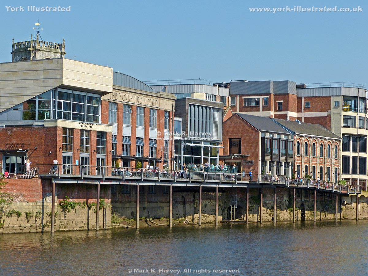
The grade II listed red-brick building known as 'River House' was built in 1868 as club rooms and offices for 'The Yorkshire Club'. It had its own boathouse.

Read more

Riverside Terrace off St Martin's Courtyard

Photo as per caption. Opens larger version.

This steel-framed, timber-decked terrace and viewpoint was constructed in 2000 to open-up a previously inaccessible section of the River Ouse in the heart of the city centre.

Read more

Road Access Arches

Photo as per caption. Opens larger version.

In 1874-6, two sets of archways were inserted into the city wall to provide pedestrian and road access between the city centre and the new railway station.

Read more

Roman Column

Photo as per caption. Opens larger version.

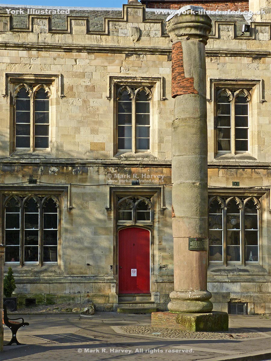
This stone column from the 4th century Roman principia (headquarters building) was found in 1969 during excavations beneath the south transept of York Minster.

Read more

Rowntree Park

Photo as per caption. Opens larger version.

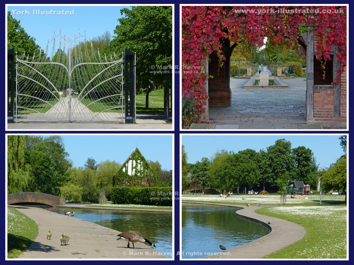
Rowntree Park is one of the city's hidden gems. Its facilities include wide-open green space, an ornamental lake, an exciting children's playground and a cafe.

Read more

Scarborough Rail Bridge

Photo as per caption. Opens larger version.

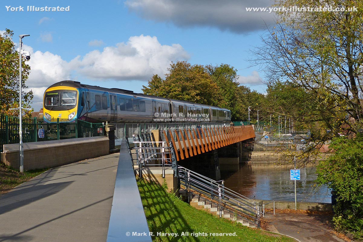
The bridge was built in 1845 by the York and North Midland Railway Company to carry the York-Malton-Scarborough line across the River Ouse. The stone abutments and central pier were part of the original bridge, but the bridge deck has been replaced twice.

Read more

Shambles

Photo as per caption. Opens larger version.

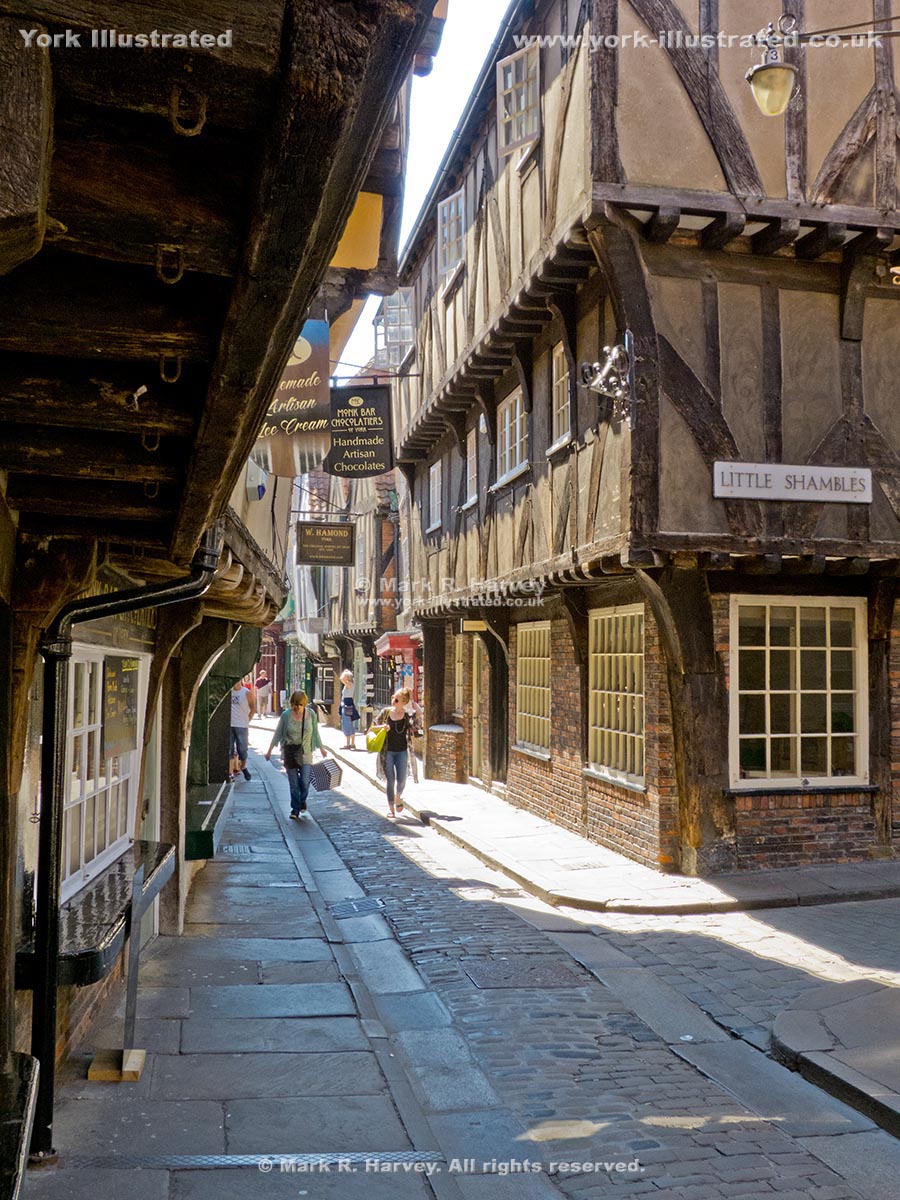
The Shambles is York's iconic medieval street. It gains much of its charm and character from the higgledy-piggledy arrangement of its historic buildings.

Read more

Silver Street Public Toilets

Photo as per caption. Opens larger version.

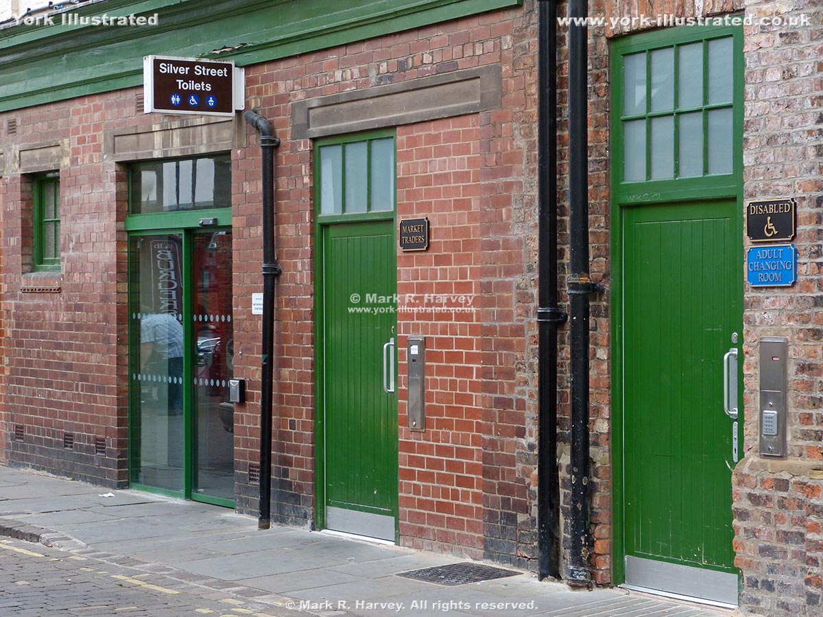
These conveniences tend to be busy as they serve the heart of the city centre including the Newgate Market, the Shambles, Parliament Street and Low Petergate.

Read more

Skeldergate Bridge

Photo as per caption. Opens larger version.

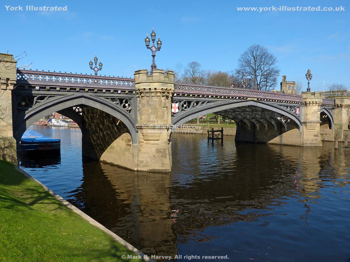
Skeldergate Bridge was built in 1878-1880. It replaced a ferry that had carried people and small cargoes across the river since at least 1541. The decommissioned lifting section allowed tall ships to access the wharves and warehouses further upriver.

Read more

Skeldergate Wall Walk Access Tower

Photo as per caption. Opens larger version.

This octagonal stone tower was constructed in 1878 when the adjacent section of York's City Wall was demolished to facilitate construction of Skeldergate Bridge.

South African War Memorial and Duncombe Place Memorial Garden

Photo as per caption. Opens larger version.

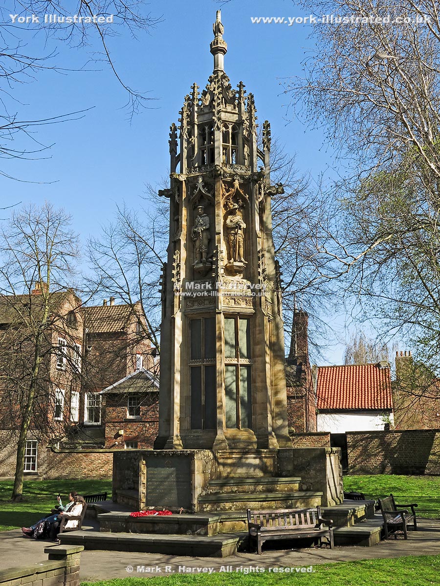
The South African War Memorial was installed in Duncombe Place in 1905 to commemorate the citizens of York who lost their lives during the Boer War (1899–1902).

Read more

South Esplanade

Photo as per caption. Opens larger version.

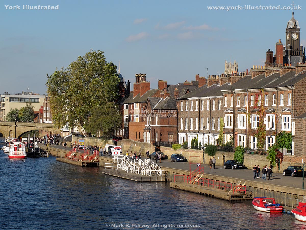
The South Esplanade is a short, virtually traffic-free street on the north-eastern bank of the River Ouse between Tower Gardens and the King's Staith.

Read more

St Anthony's Garden

Photo as per caption. Opens larger version.

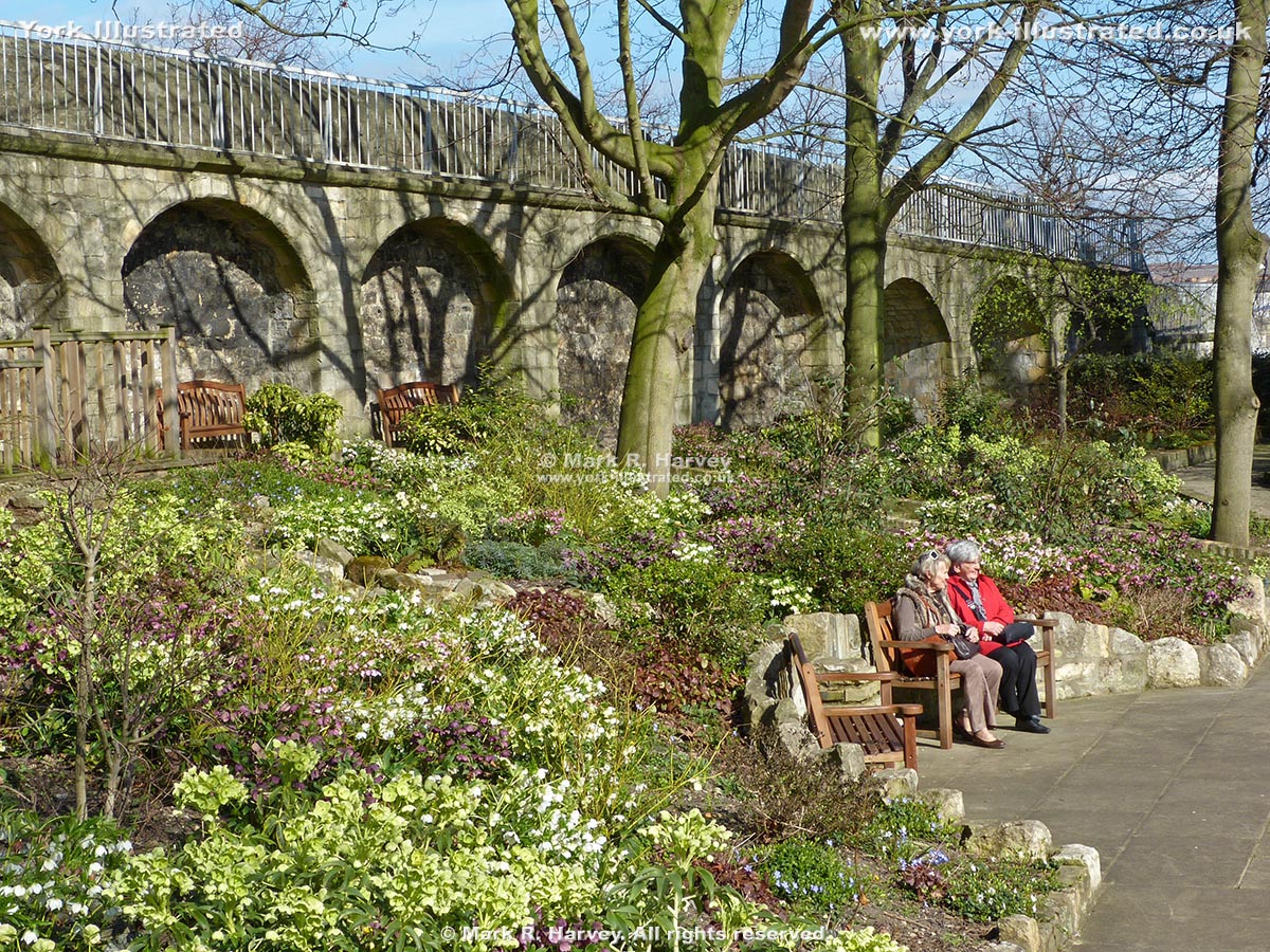
The York Conservation Trust created St Anthony’s Garden in February 2006 by converting a former school playground into a delightful public space with seating.

St Crux Parish Room

Photo as per caption. Opens larger version.

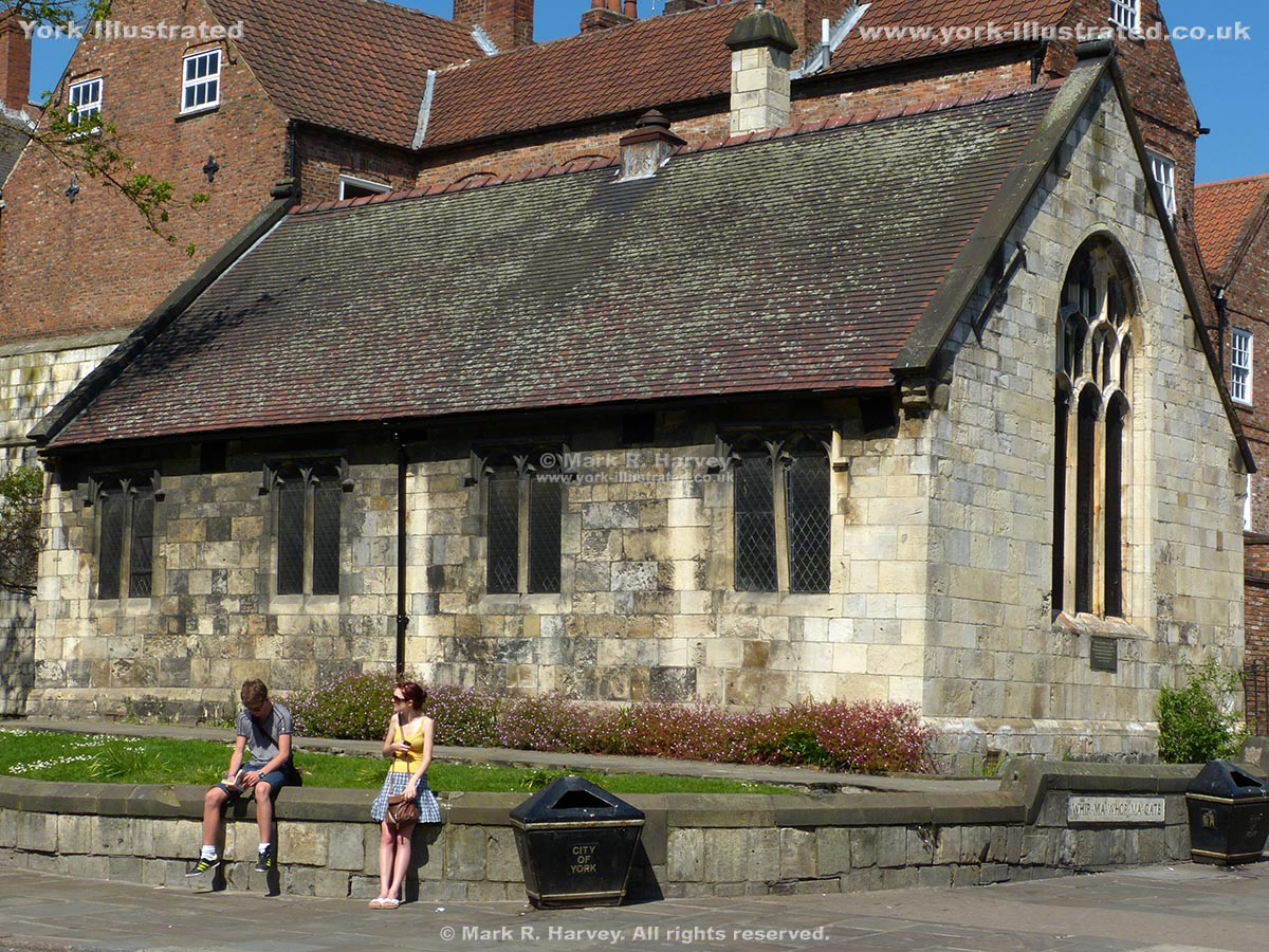
St Crux Parish Room was built in 1888 using reclaimed materials from the 15th century church of the same name that previously occupied the site. An earlier church on the same site was mentioned in the Domesday Book.

St Denys Church

Photo as per caption. Opens larger version.

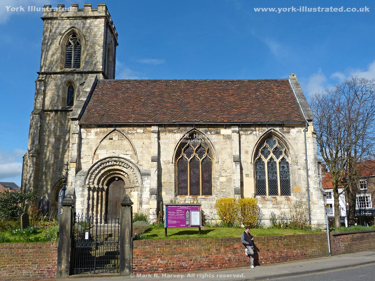
St Denys Church (Grade I listed) is one of the oldest churches in York city centre. It has links to the Fishmongers' Guild and the powerful Percy family.

Read more

St George's Field Public Toilets

Photo as per caption. Opens larger version.

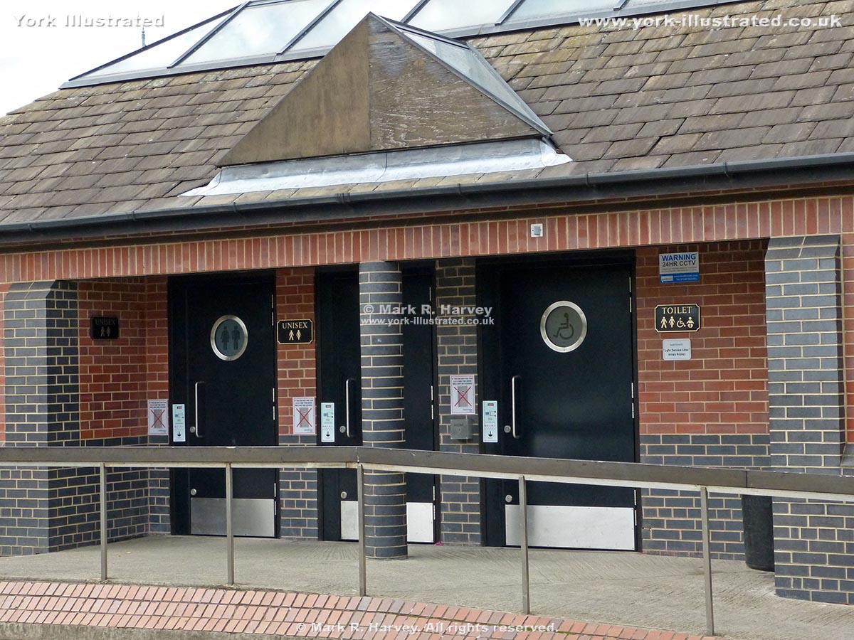
These quiet conveniences primarily serve the car-park, but they are relatively close to the New Walk (handy to note if you are using the riverside path).

Read more

St Helen's Square

Photo as per caption. Opens larger version.

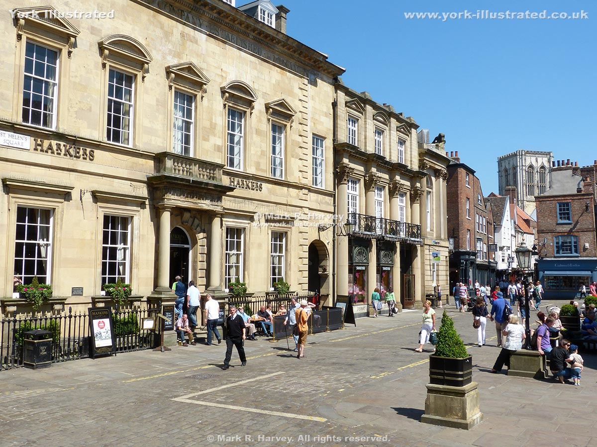
The square was created in 1745 by relocating the graveyard of St Helen’s Church. It contains some of the finest 18th, 19th and 20th century buildings in York.

Read more

St Leonard's Place Public Toilets

Photo as per caption. Opens larger version.

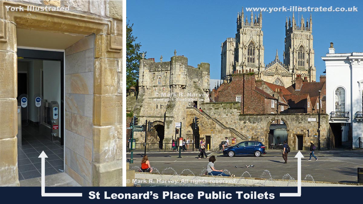
These conveniences serve the north western side of the city centre. They tend to be busy as they lie between York Minster and Museum Gardens / Exhibition Square.
 

Read more

St Leonard's Priory Water Gate and Hospital

Photo as per caption. Opens larger version.

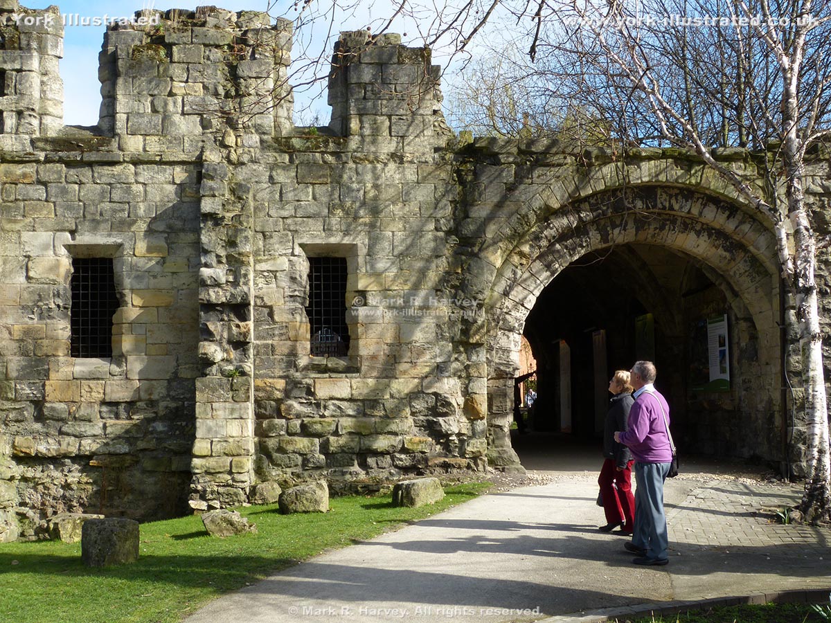
The Priory of St Leonard had one of the largest hospitals in medieval England. The 13th century remains include the water gate and part of the infirmary.

Read more

St Mary's Abbey Gatehouse

Photo as per caption. Opens larger version.

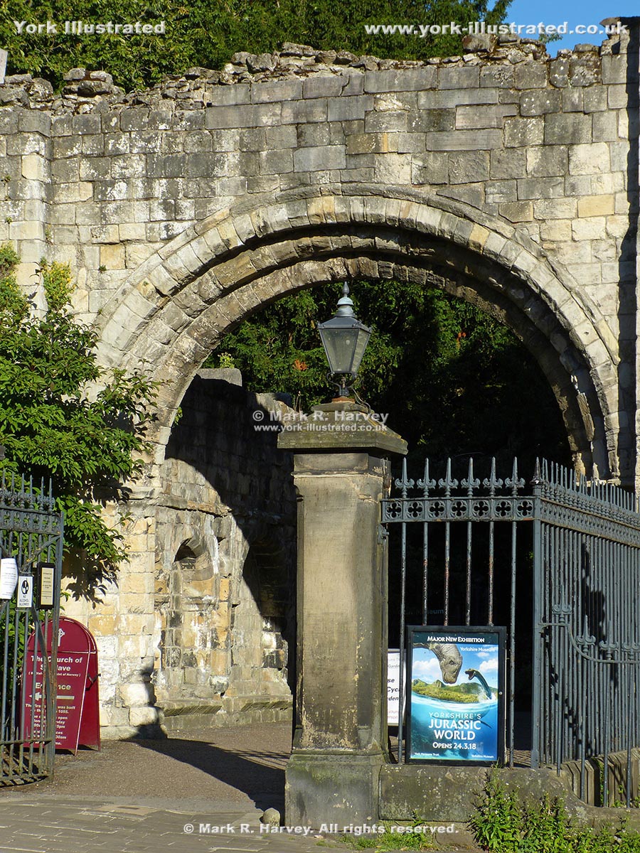
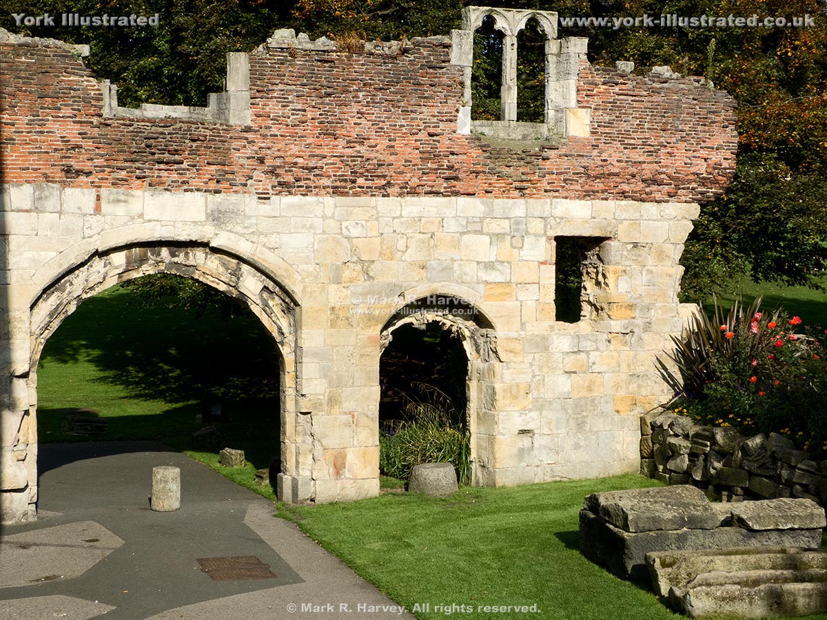
The external arch and adjoining side-walls are all that remains of the main gatehouse of St Mary's Abbey. The arch has been dated to the late 12th century.

St Mary's Abbey Ruins

Photo as per caption. Opens larger version.

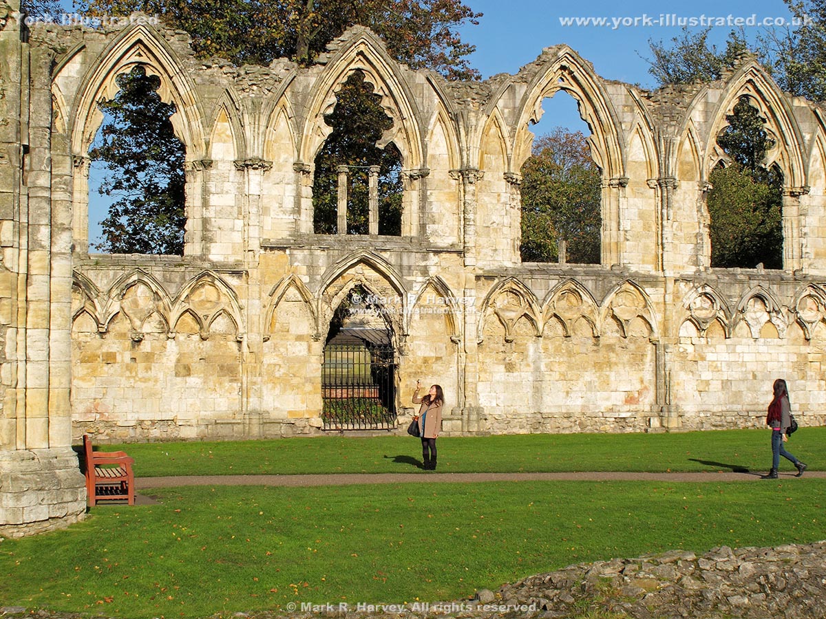
The Benedictine abbey of St Mary's was founded by King William II in 1088. The ruins visible today date from a re-build between 1271 and 1294.

St Mary's Abbey Watergate

Photo as per caption. Opens larger version.

This two-storey wall is believed to have formed part of the watergate for St Mary's Abbey

St Mary's Tower

Photo as per caption. Opens larger version.

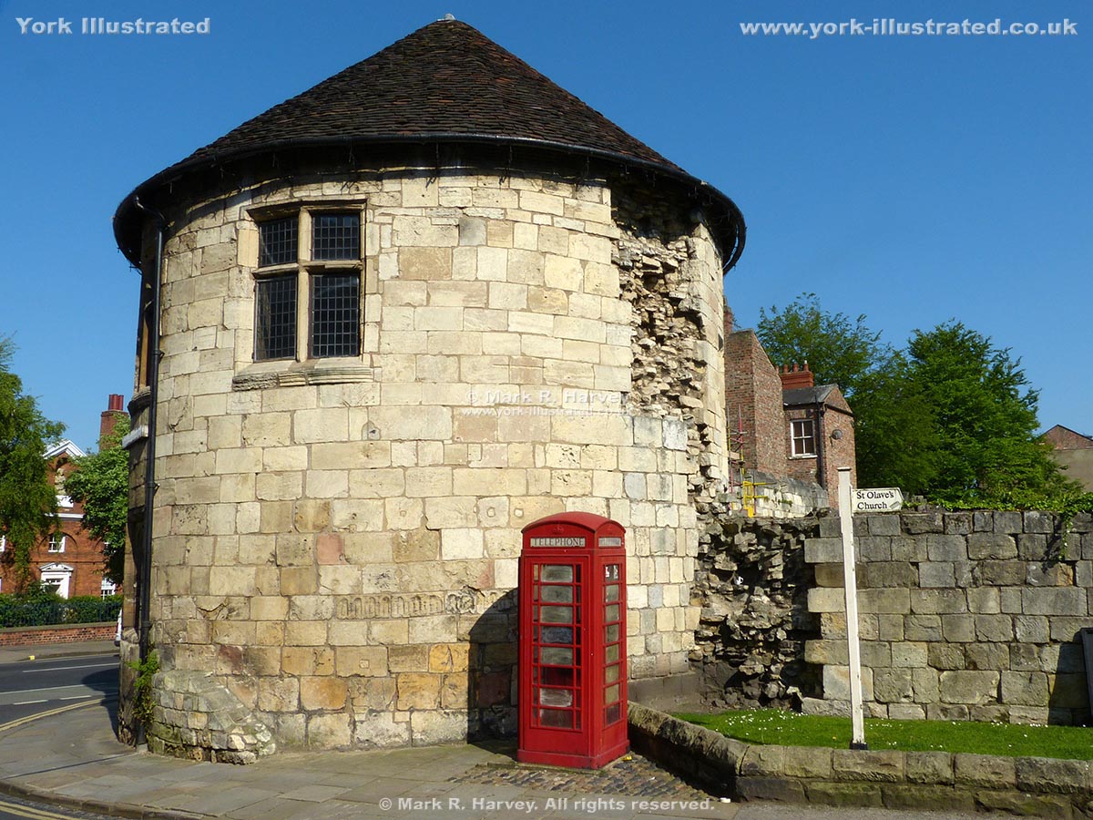
St Mary's Tower was built circa 1324. It was damaged during the Civil War, then partially repaired. The damage and the repairs are still evident today.

Read more

St Michael-le-Belfry Church

Photo as per caption. Opens larger version.

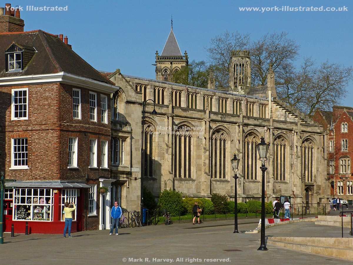
The church of St Michael-le-Belfry dates from 1525-37, although the west front was rebuilt in 1867. Guy Fawkes was baptised here on 16 April 1570.

Read more

Pages