The Gazetteer provides illustrated introductions to hundreds of 'free-to-view' and 'not-for-profit' locations that you might like to seek-out during a real-world sightseeing visit to the historic city of York.

By default, every location in the database is listed. If desired, set the star rating, place type OR zone filter below, then click / tap on the 'Apply Filters' button to restrict the list to the matching locations.

Show / hide tips below.
  • To speed-up page-loading, a maximum of 24 locations are displayed on each page.
  • If more than 24 locations match the filter settings, click / tap on the page navigation buttons (located below the list) to display the additional page(s).
  • The locations are listed in alphabetical order of the place name (reading from top-left to bottom-right).
  • To avoid frustrating 'nil returns', use one filter only (leaving the others set to 'Any').
  • To view a larger version of an image, click on its thumbnail. If you are using a device with a screen width of 400px or more and with JavaScript enabled, you should be able to view the images in a slideshow overlay.
    (NB: The slideshow will not run on devices with a screen width of less than 400px, or if you attempt to open it in a new window.)
  • To access the geolocation details and view all available information for a location, click / tap on its place name or 'Read more' button.
  • If a 'Read more' button is provided, a brief article and / or a high quality external link is also available.
St Saviour's Church

Photo as per caption. Opens larger version.

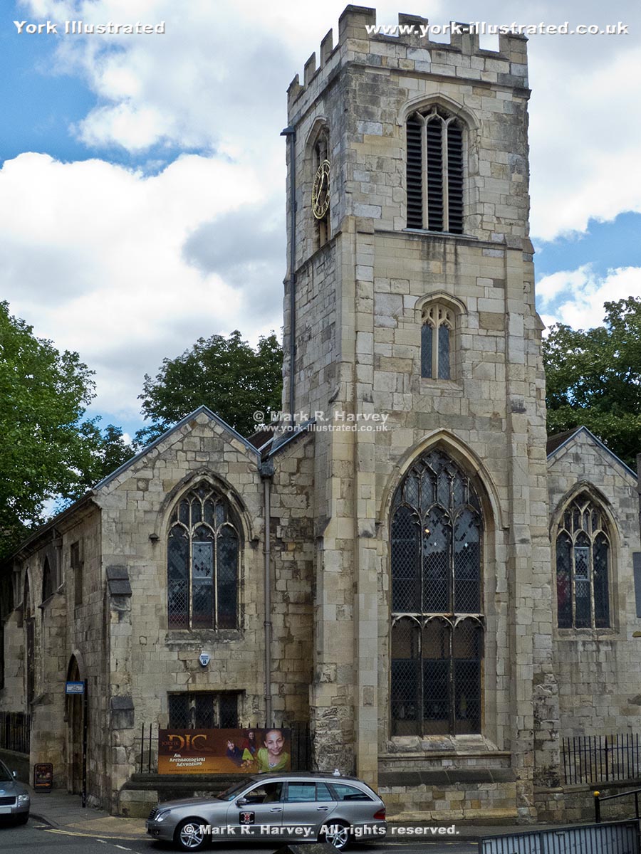
St. Saviour's Church dates from the 15th century, but was mostly rebuilt in 1844-5. It now houses "DIG": a unique archaeology-based children's activity centre.

Read more

St Saviourgate

Photo as per caption. Opens larger version.

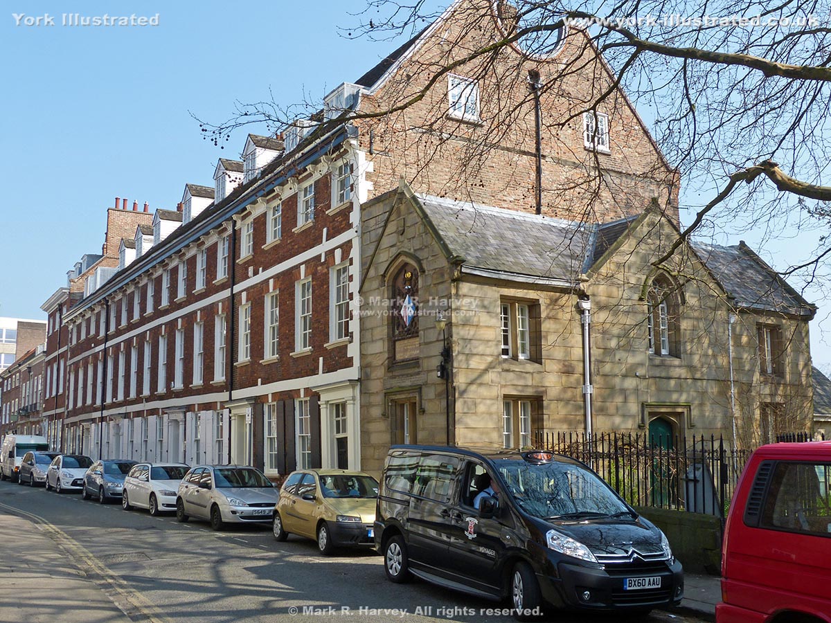
St Saviourgate is lined with an eclectic mix of buildings. The architectural styles range from modified medieval, through classic Georgian and Victorian, to brutalist 1960s concrete.

Read more

St William's College

Photo as per caption. Opens larger version.

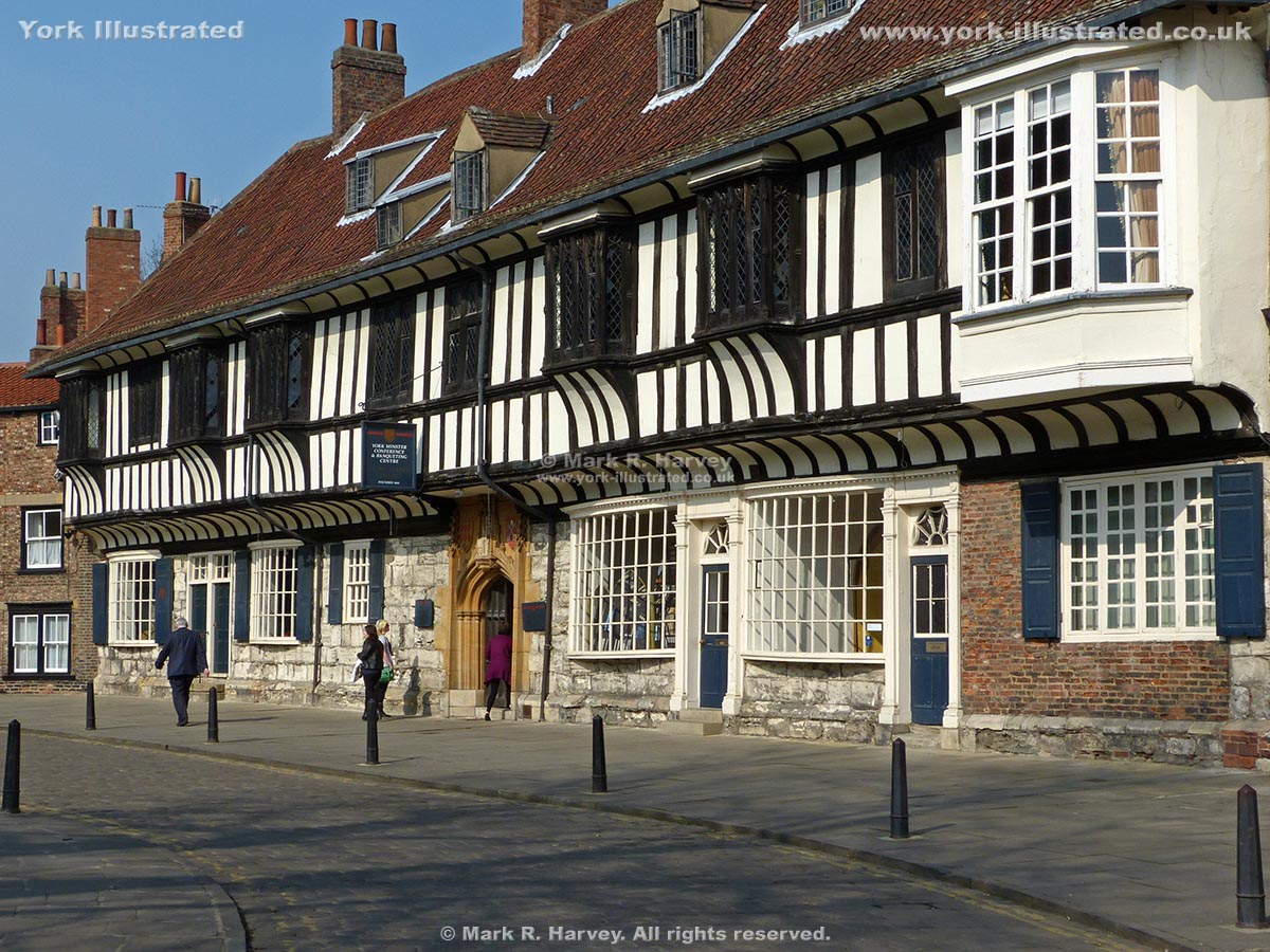
St William's College was built circa 1465 to provide accommodation for the chantry priests of York Minster. During the Civil War, it housed the Royal Mint.

Station Road Wall Walk Access Ramp

Photo as per caption. Opens larger version.

This access point was constructed circa 1863 as part of the Lendal Bridge construction works. It leads to / from one of the most popular sections of York's world-famous Wall Walk.

Station Road Wall Walk Access Steps

Photo as per caption. Opens larger version.

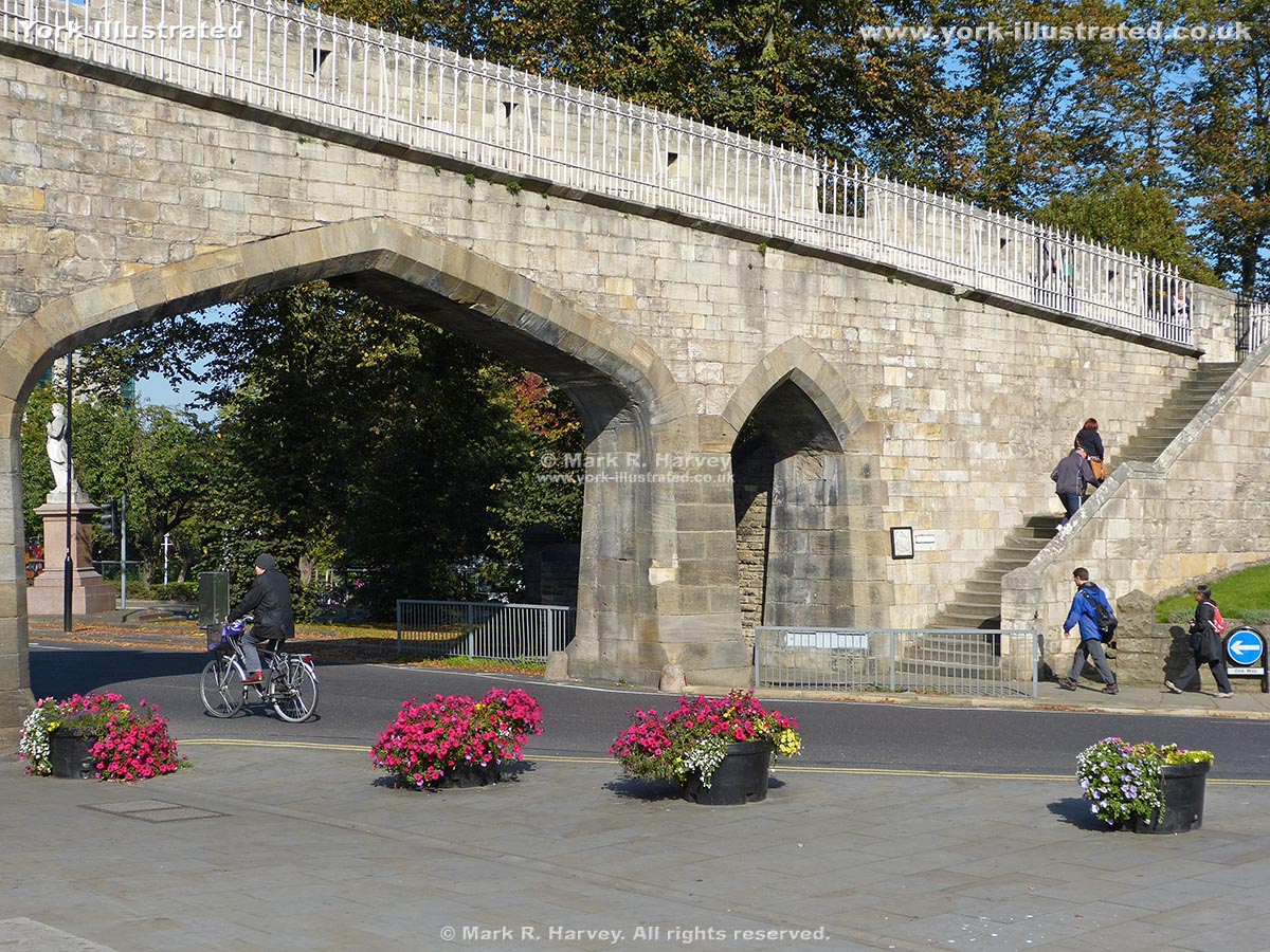
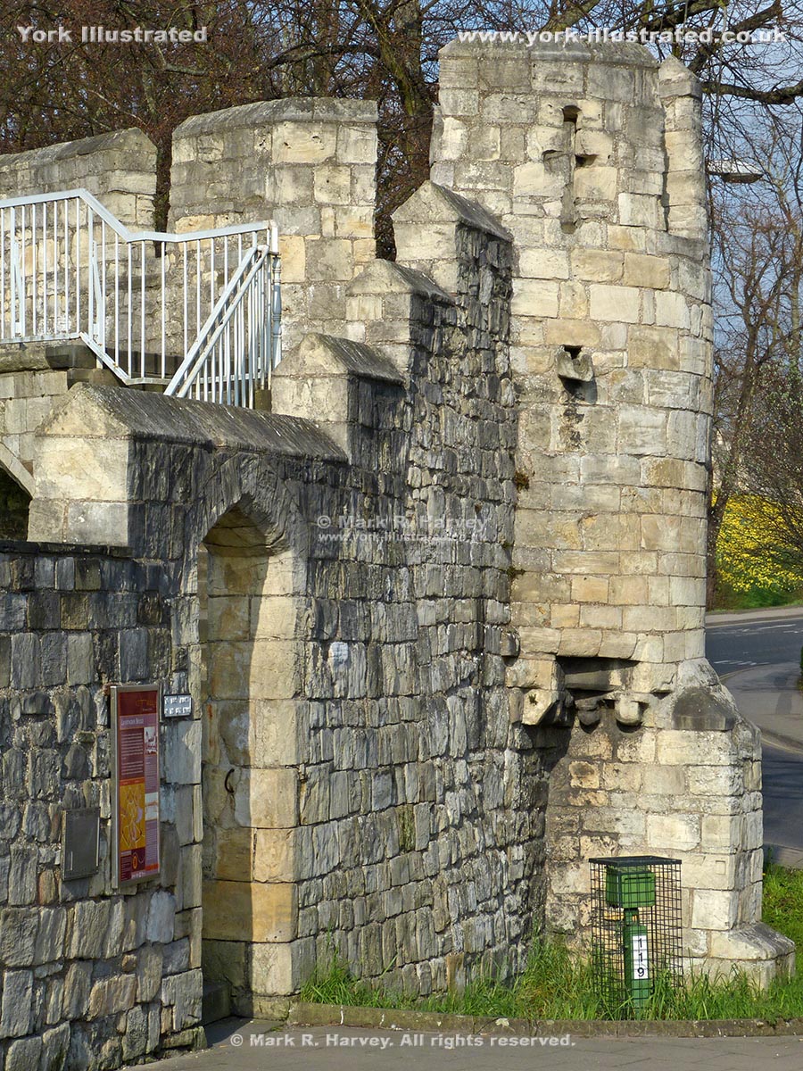
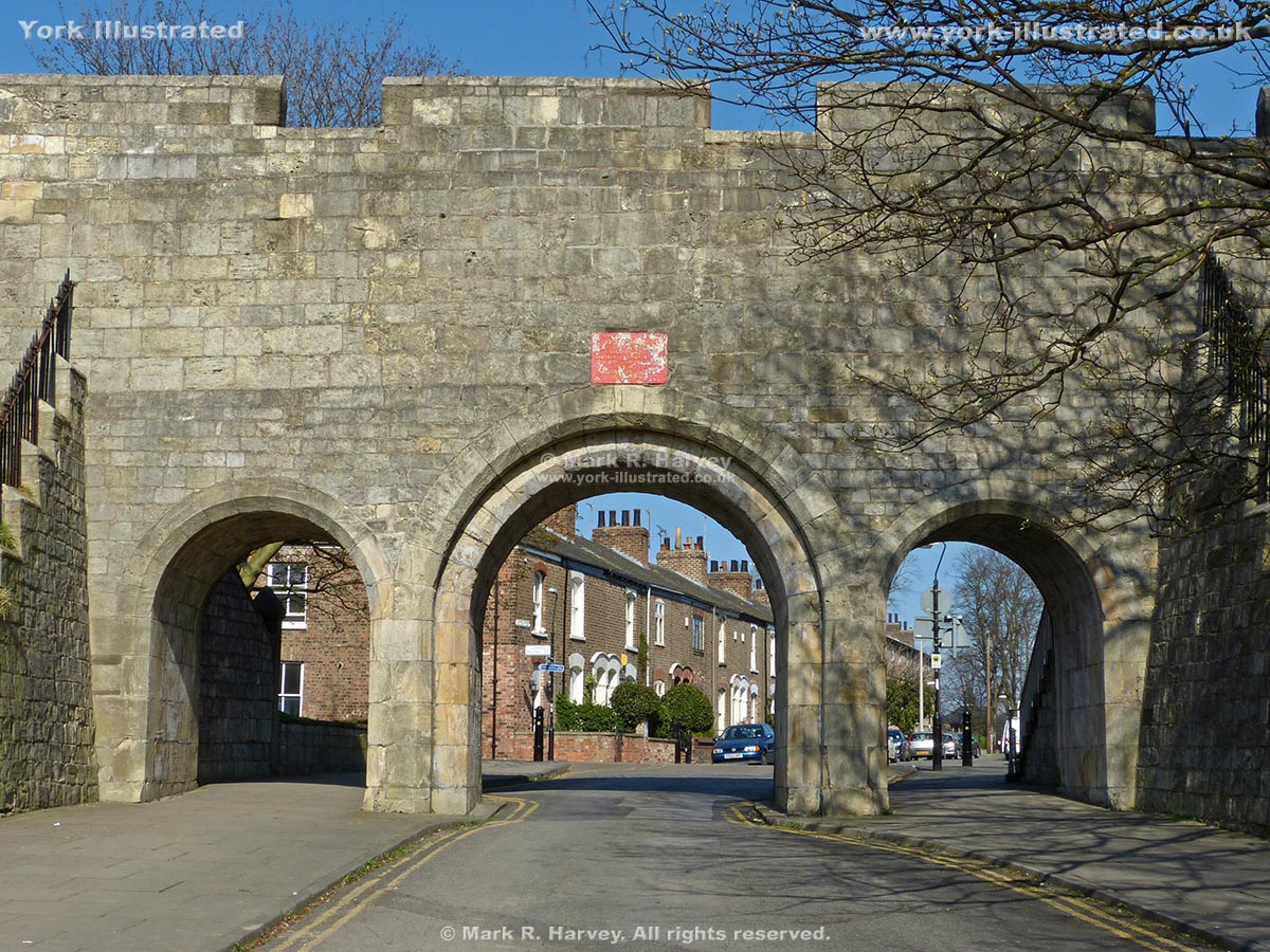
The steps were constructed in 1874, when the three adjacent arches were pierced through York's City Walls to provide access to the new railway station.

Statue of Constantine the Great

Photo as per caption. Opens larger version.

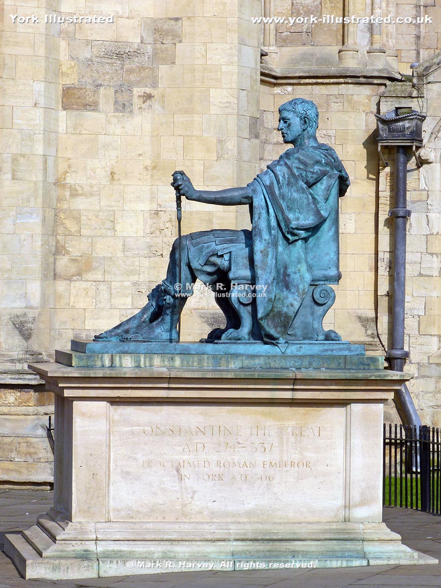
Constantine the Great was proclaimed Emperor in York in 306 A.D. He was the first Roman Emperor to support Christianity. This statue was commissioned in 1998.

Statue of Friesian Bull Calf

Photo as per caption. Opens larger version.

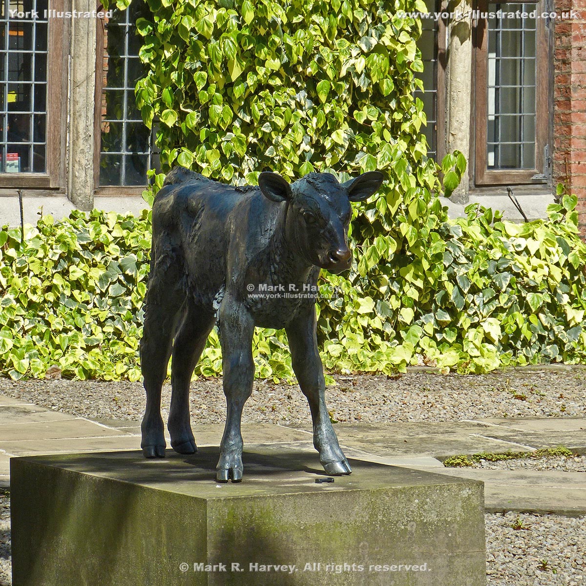
This statue of a Friesian bull-calf was cast in bronze using the 'lost-wax' process from a clay master created by local artist Sally Arnup.

Read more

Stonegate

Photo as per caption. Opens larger version.

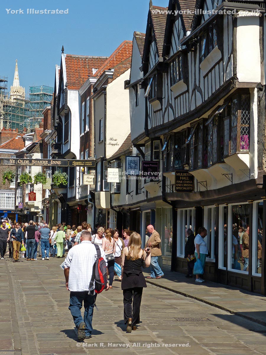
Stonegate is a pleasant pedestrianised street on the alignment of the Roman 'Via Praetoria'. It boasts architecture from Norman to Victorian periods.

Read more

Tactile Model of the York Minster Area

Photo as per caption. Opens larger version.

A useful and interesting 'tactile model' of the area surrounding York Minster has been installed in Minster Yard, near the Minster's West Front.

Read more

Terry Avenue

Photo as per caption. Opens larger version.

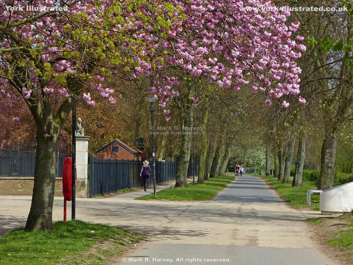
Terry Avenue runs alongside the west bank of the River Ouse near Rowntree Park. It is named after another of York's famous chocolate manufacturers.

Terry Memorial Homes

Photo as per caption. Opens larger version.

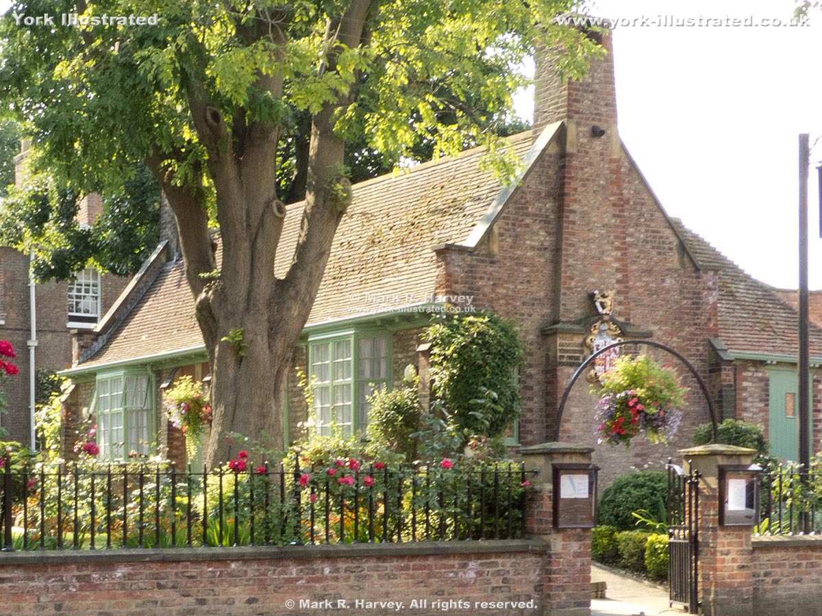
These almshouses were funded by public subscription and built in 1899 in memory of Sir Joseph Terry (who died the previous year).

Read more

Tower 03 (aka Bitch-daughter Tower)

Photo as per caption. Opens larger version.

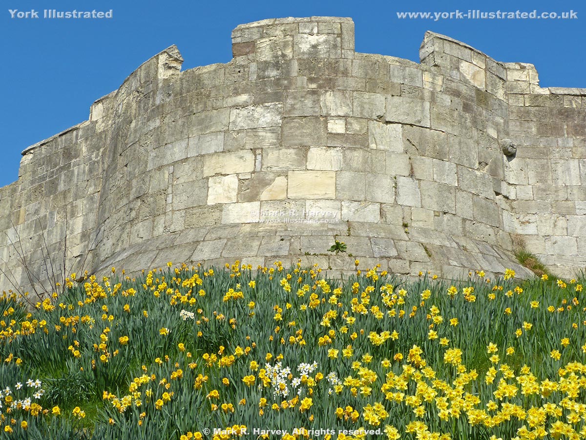
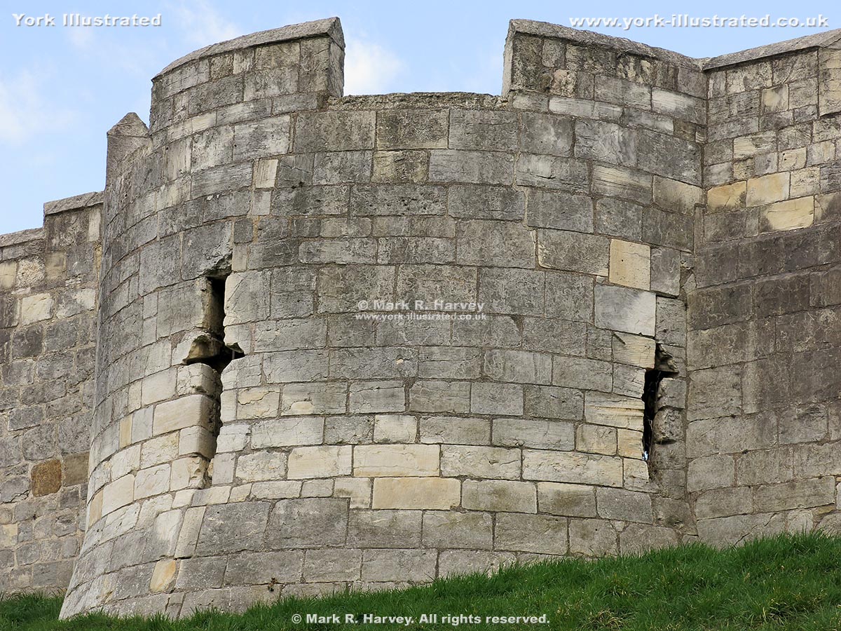
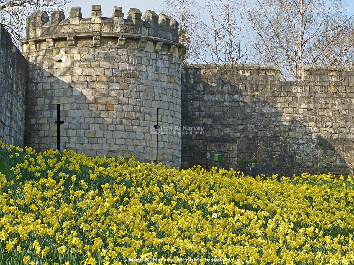
Bitch-daughter Tower on the south corner of York's City Walls has been used as a defensive corner tower, a gaol, a Civil War watch tower and a 'cow house'.

Read more

Tower 07 (aka Sadler Tower)

Photo as per caption. Opens larger version.

The base of Tower 7 is believed to have been built circa 1250-60, which would make it one of the oldest surviving interval towers on York's City Walls.

Read more

Tower 13 (aka Toft's Tower)

Photo as per caption. Opens larger version.

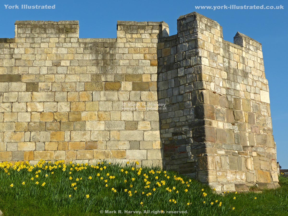
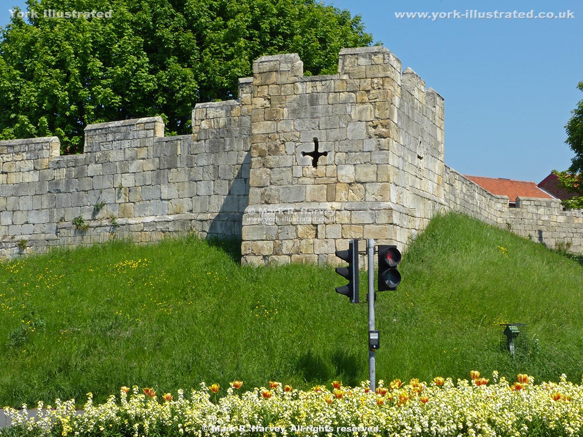
Tower 13 (aka Toft's Tower) protects a right-angled corner in the south western section of York's City Walls.

Tower 27 (aka Robin Hood Tower)

Photo as per caption. Opens larger version.

Tower 27 (a.k.a. Robin Hood Tower) is located at the northernmost corner of York's City Walls. It was built by the Victorians to provide a viewing platform.

Read more

Tower 28

Photo as per caption. Opens larger version.

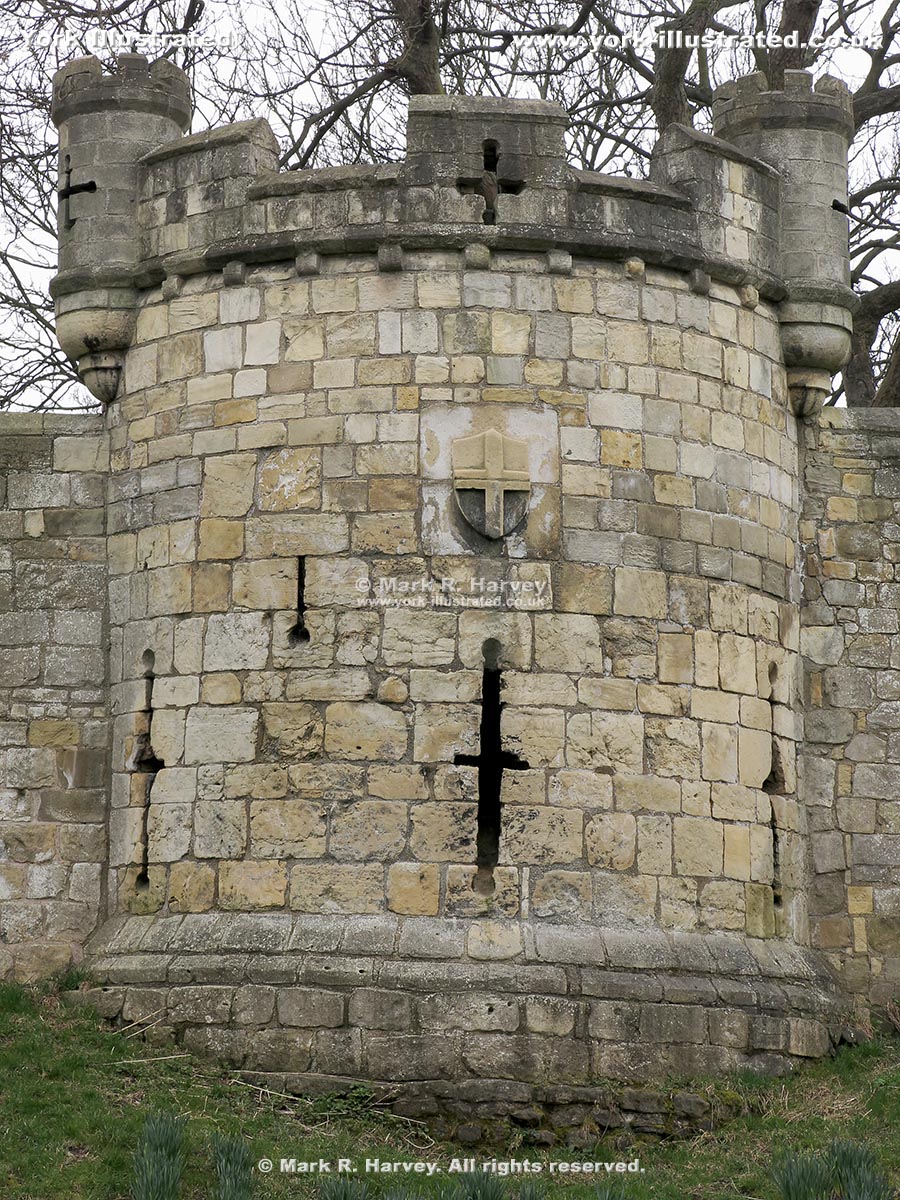
Tower 28 is an interval tower on the northern section of York's city wall. Its attractive 'pepperpot' turrets (added in 1887) are purely ornamental.

Tower 31 (aka Harlot Hill Tower)

Photo as per caption. Opens larger version.

Tower 31 may once have guarded a postern (small gateway) linking St. Andrewgate inside the walls with Love Lane outside.

Tower 32 (aka New Tower)

Photo as per caption. Opens larger version.

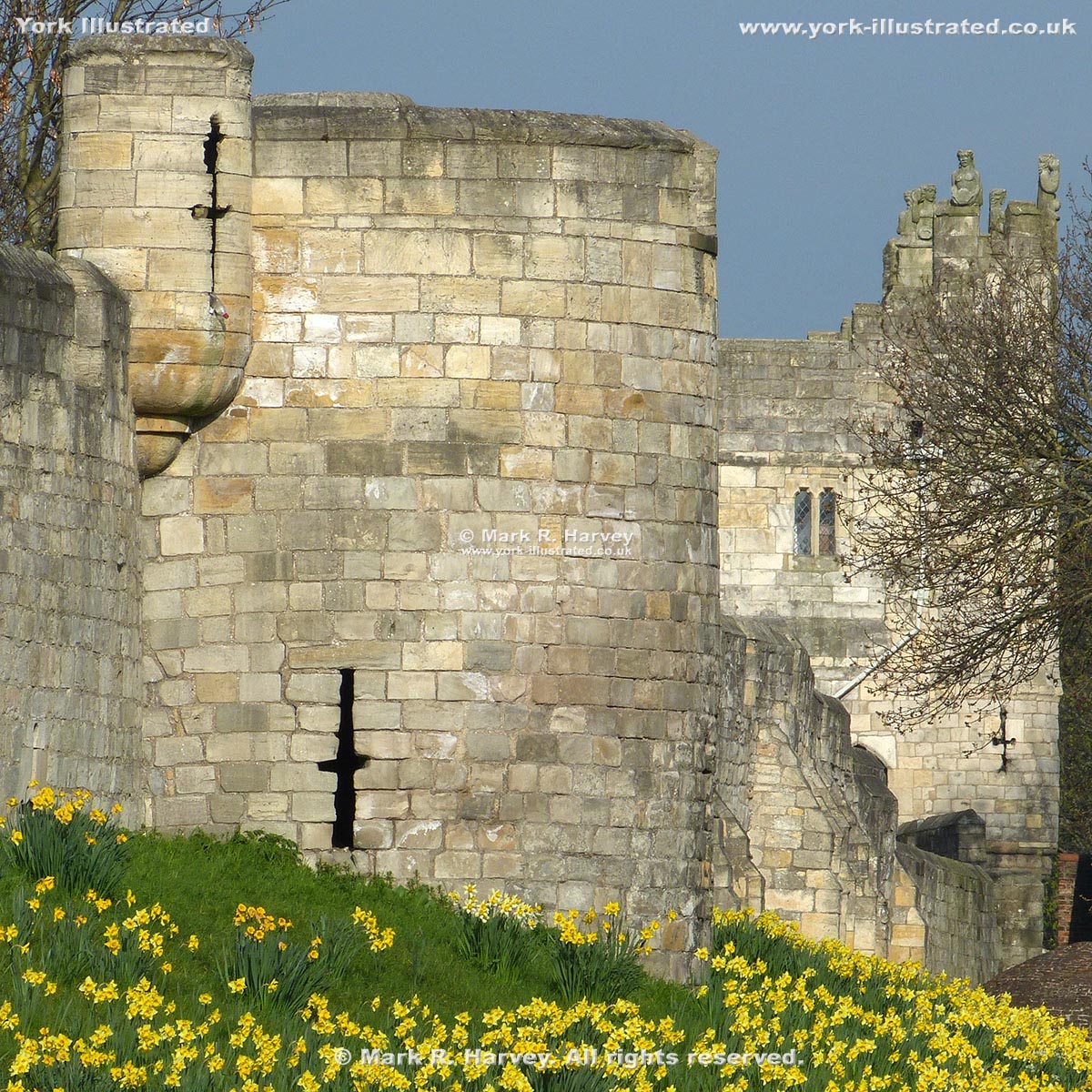
Tower 32 on the northern section of York's City Wall has been known as the 'New Tower' since at least 1380, so it's not really 'new' at all.

Read more

Tower 34 (aka Lathorp Tower or Layerthorpe Tower)

Photo as per caption. Opens larger version.

Tower 34 (aka Lathorp or Layerthorpe Tower) was constructed in 1370 to strengthen an angle in York's City Wall. Its unique design incorporates re-used stonework.

Read more

Tower 39

Photo as per caption. Opens larger version.

Tower 39 was constructed circa 1345 (at the same time as the adjoining sections of York's City Wall). It was altered to support artillery in the 17th-century.

Read more

Tower Gardens

Photo as per caption. Opens larger version.

The mature trees, colourful shrubs, and convenient location (between Clifford's Tower and the River Ouse) make Tower Gardens a popular spot on a warm sunny day.

Read more

Treasurer's House

Photo as per caption. Opens larger version.

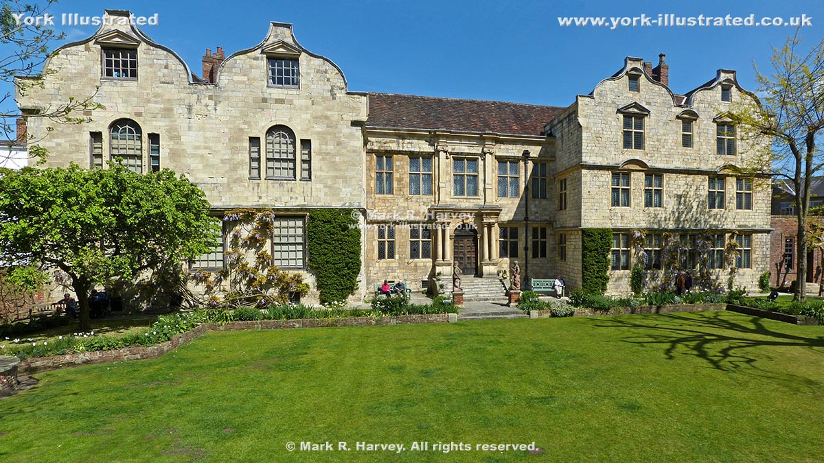
The Treasurer's House is a mostly 17th century building (now a National Trust property), but its story extends from Roman times to the 21st century.

Read more

Union Terrace Public Toilets

Photo as per caption. Opens larger version.

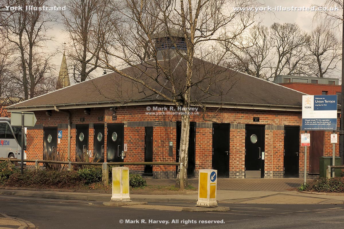
These facilites are relatively quiet as they primarily serve the car-park. For most parts of the city centre, the other public toilets will be more convenient.

Read more

Victoria Bar

Photo as per caption. Opens larger version.

The central arch of Victoria Bar was inserted into a plain section of York's City Wall in 1838. During the work, the remains of an earlier gate were discovered.

Read more

Pages