The Gazetteer provides illustrated introductions to hundreds of 'free-to-view' and 'not-for-profit' locations that you might like to seek-out during a real-world sightseeing visit to the historic city of York.

By default, every location in the database is listed. If desired, set the star rating, place type OR zone filter below, then click / tap on the 'Apply Filters' button to restrict the list to the matching locations.

Show / hide tips below.
  • To speed-up page-loading, a maximum of 24 locations are displayed on each page.
  • If more than 24 locations match the filter settings, click / tap on the page navigation buttons (located below the list) to display the additional page(s).
  • The locations are listed in alphabetical order of the place name (reading from top-left to bottom-right).
  • To avoid frustrating 'nil returns', use one filter only (leaving the others set to 'Any').
  • To view a larger version of an image, click on its thumbnail. If you are using a device with a screen width of 400px or more and with JavaScript enabled, you should be able to view the images in a slideshow overlay.
    (NB: The slideshow will not run on devices with a screen width of less than 400px, or if you attempt to open it in a new window.)
  • To access the geolocation details and view all available information for a location, click / tap on its place name or 'Read more' button.
  • If a 'Read more' button is provided, a brief article and / or a high quality external link is also available.
College Green Sundial

Photo as per caption. Opens larger version.

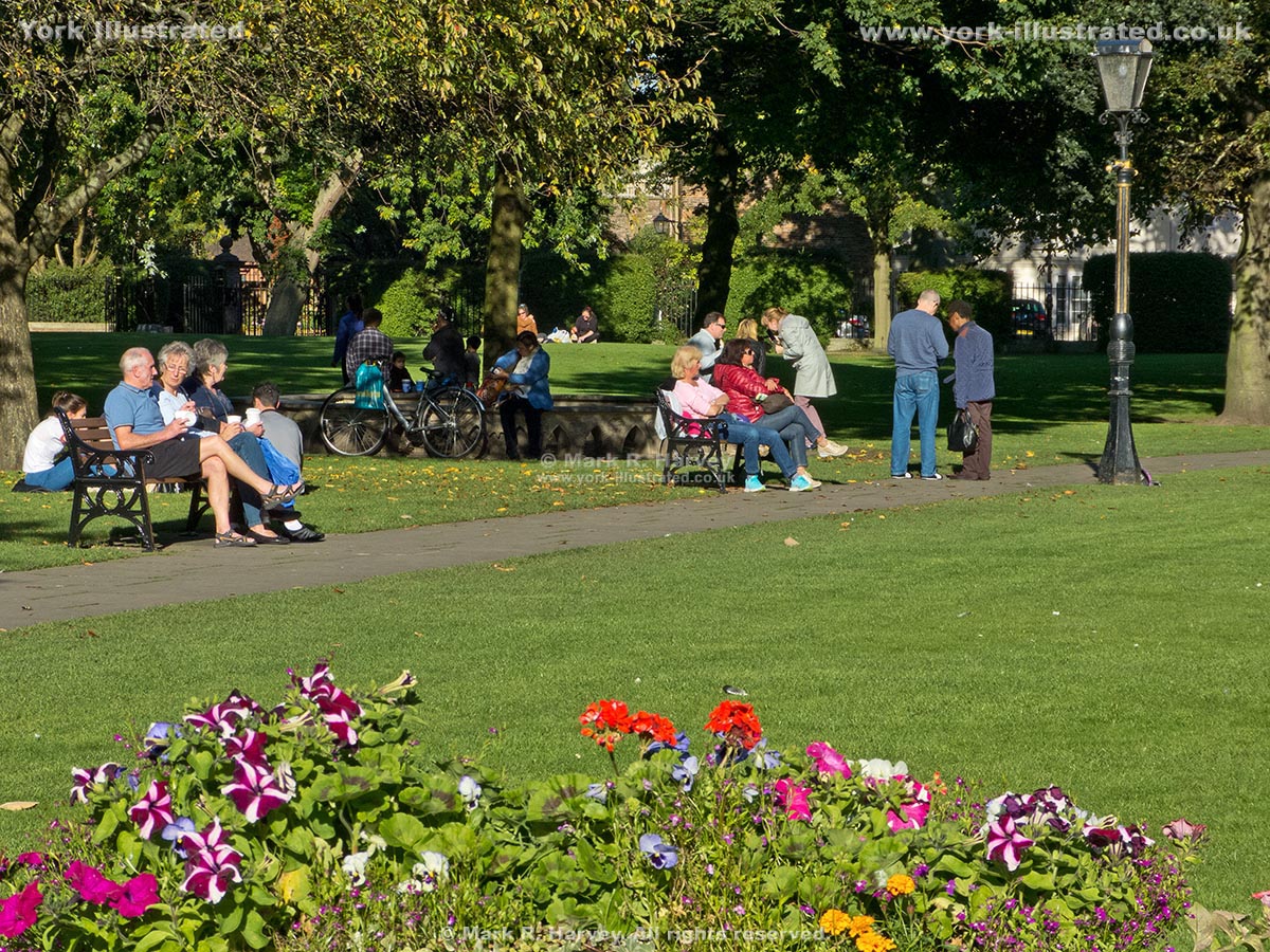
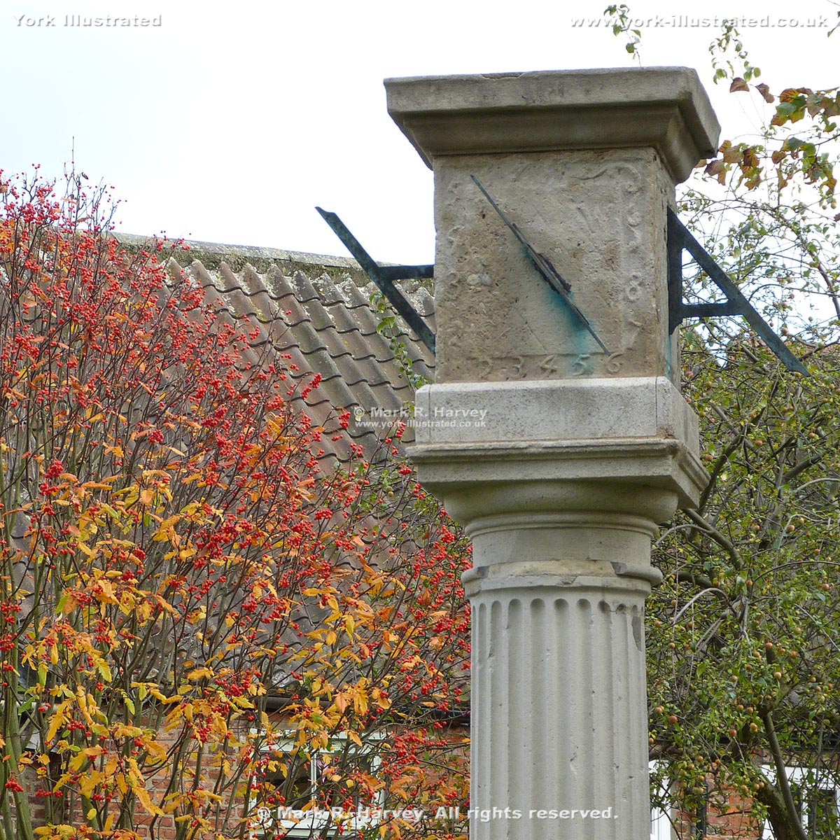
The centre-piece of College Green is a circular stone seat with a fluted Doric column rising through the centre, topped by a cubical sundial.

Read more

College Street and College Green

Photo as per caption. Opens larger version.

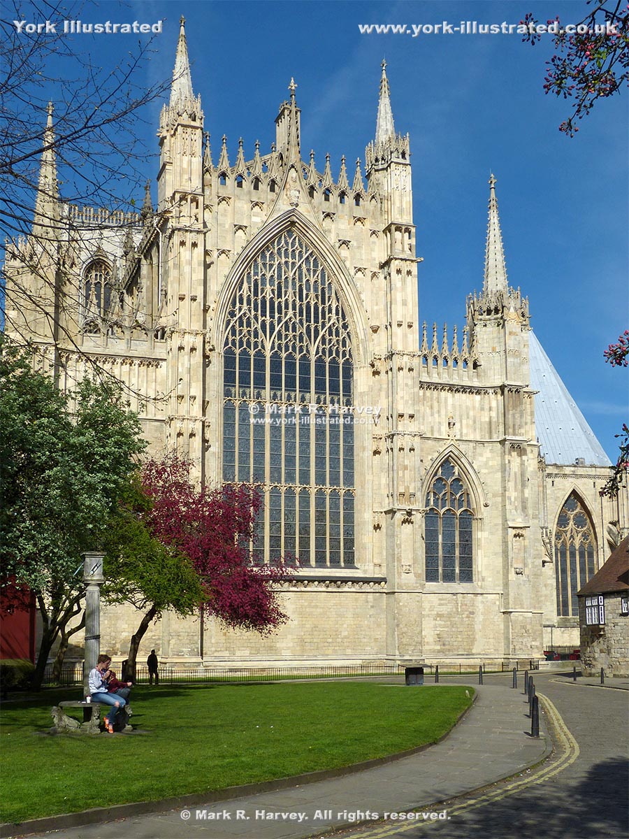
College Street is named after St William’s College on the northeast side. The creation of College Green has opened-up a lovely view of the Minster's East Front.

Read more

Coppergate Shopping Centre Public Toilets

Photo as per caption. Opens larger version.

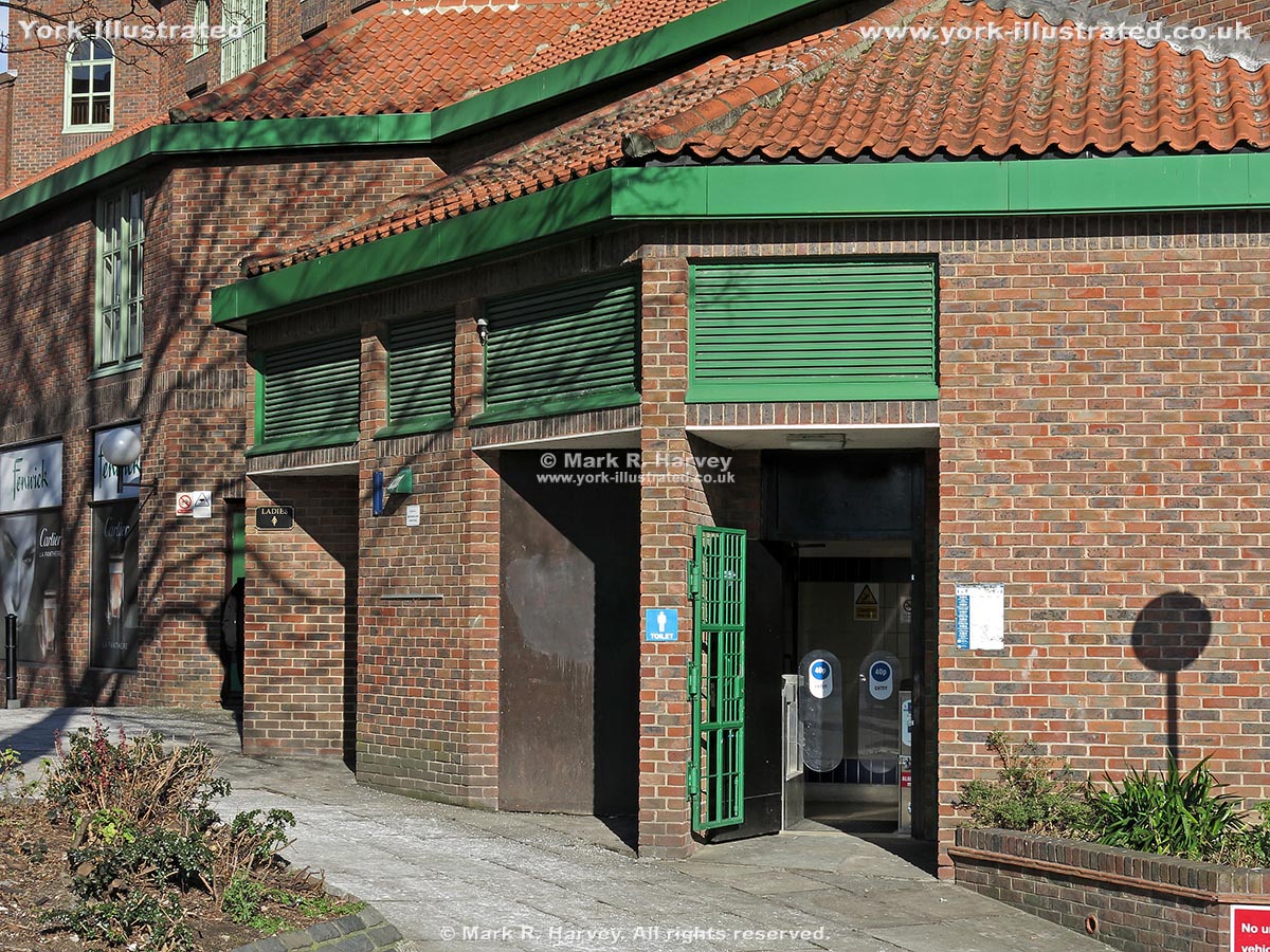
These conveniences serve the south eastern side of the city centre. They tend to be busy as they serve the Coppergate Shopping Centre and the York Castle area.

Read more

Coppergate Walk and St Mary's Square

Photo as per caption. Opens larger version.

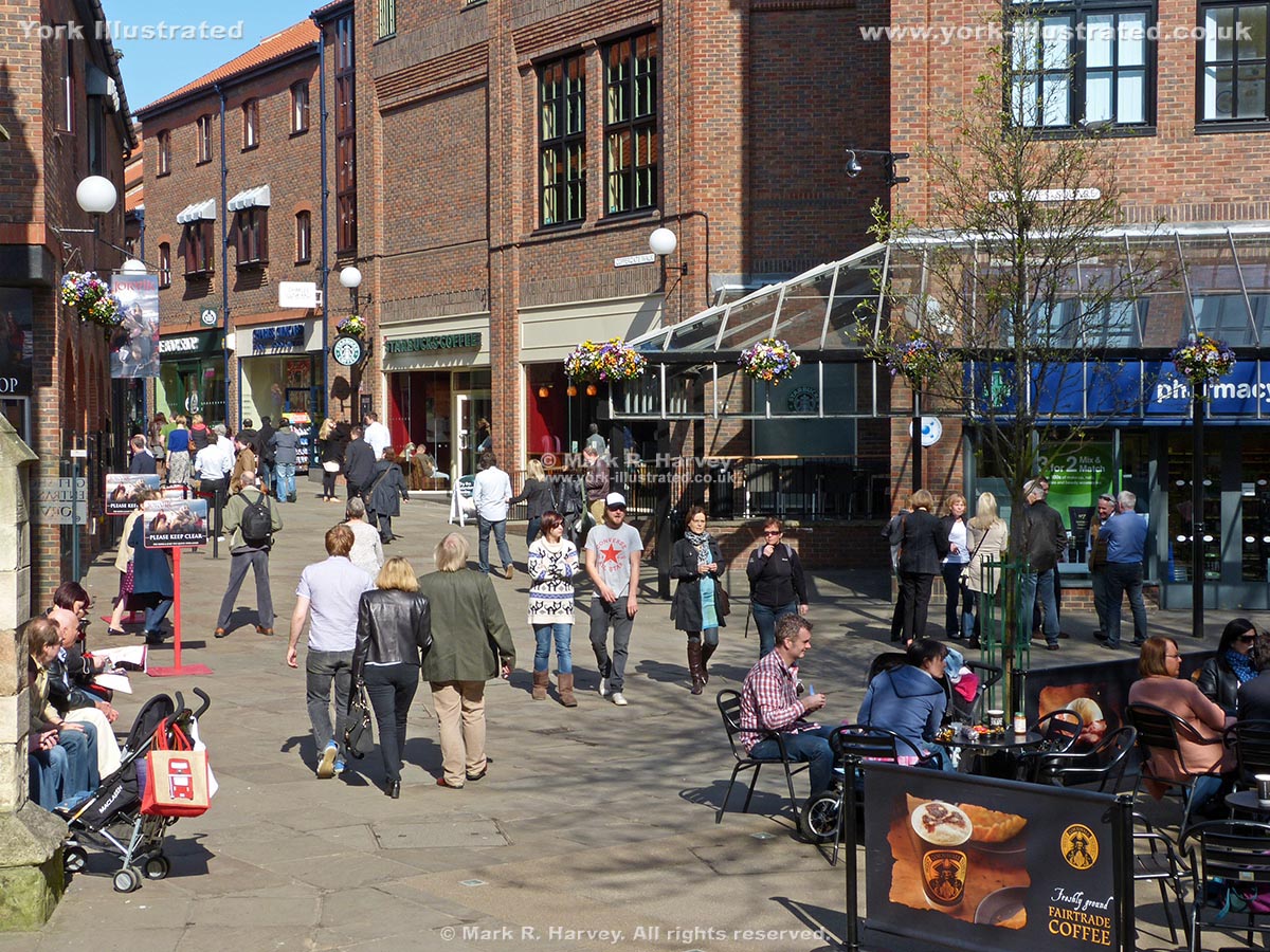
Coppergate Walk and St Mary's Square are relatively recent additions to the city's modern shopping area, opening to the public in 1984.

Read more

Cross-sections through Defensive Bank (Rampart)

Photo as per caption. Opens larger version.

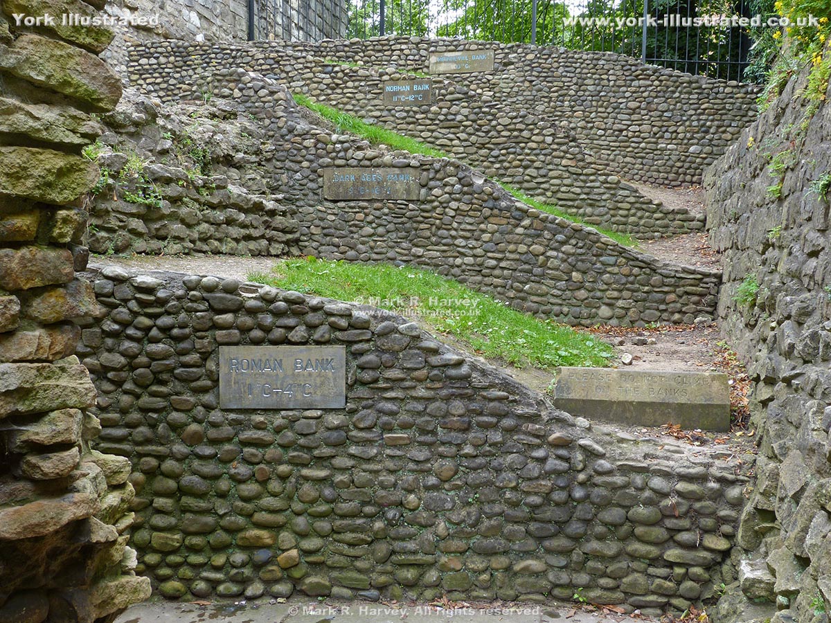
This set of four of cross-sections through the ramparts show how this section of the city's defences evolved over a period of more than thirteen centuries.

Read more

Cumberland House

Photo as per caption. Opens larger version.

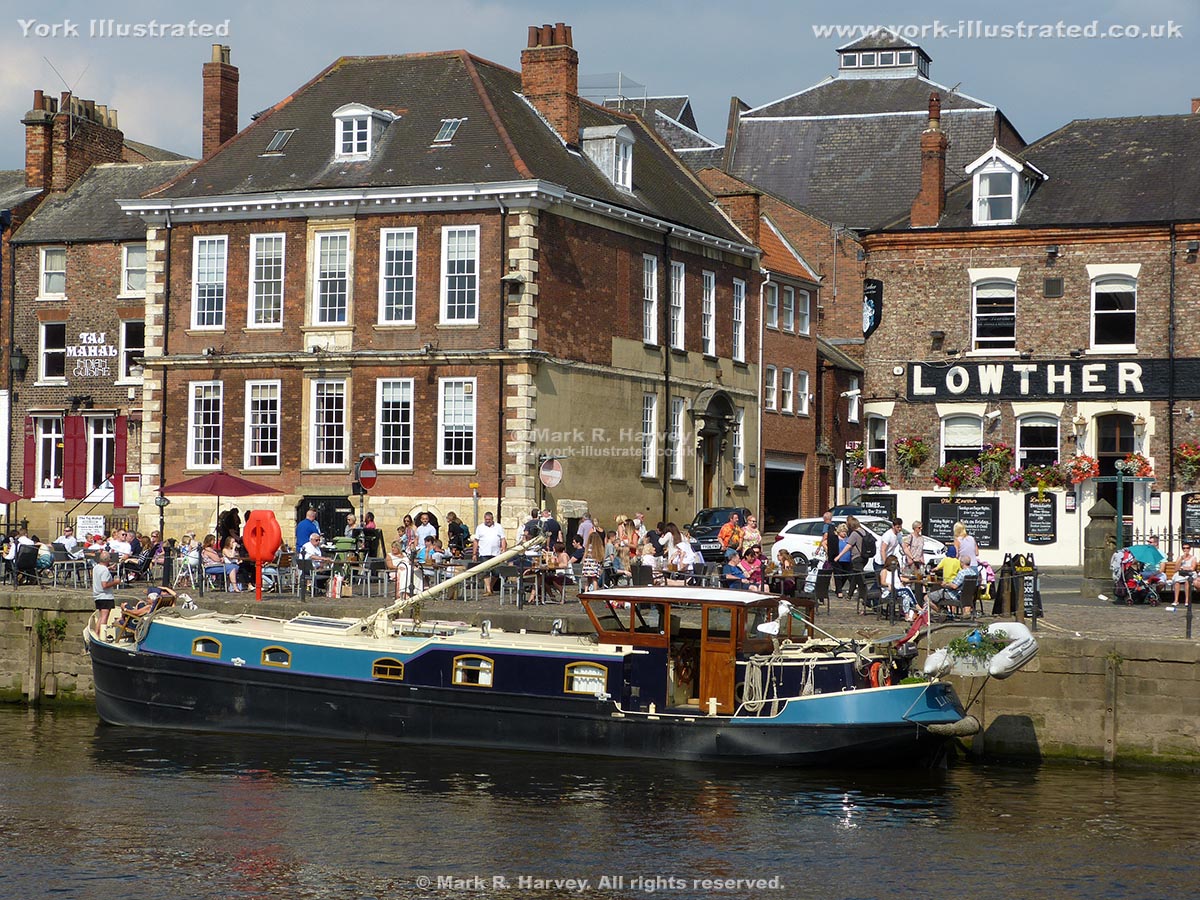
Cumberland House is the oldest surviving commercial riverside building in York. It was built circa 1710 by William Cornwell as his townhouse and warehouse.

Read more

Davy Tower

Photo as per caption. Opens larger version.

The base of Davy Tower dates from the early 14th century. Its alternative name is 'The Tower of the Friars Minor', which referred to a nearby Franciscan Friary.

Dean's Park

Photo as per caption. Opens larger version.

Dean's Park is part of the Minster Close. For centuries the area was the residence of the Archbishop of York, but it is now managed as a delightful public park.

Read more

Deanery

Photo as per caption. Opens larger version.

The Deanery is the private residence of the Dean of York Minster. The Dean is responsible for the day to day running of the Minster.

Read more

Debtors' Prison Building (originally the County Gaol)

Photo as per caption. Opens larger version.

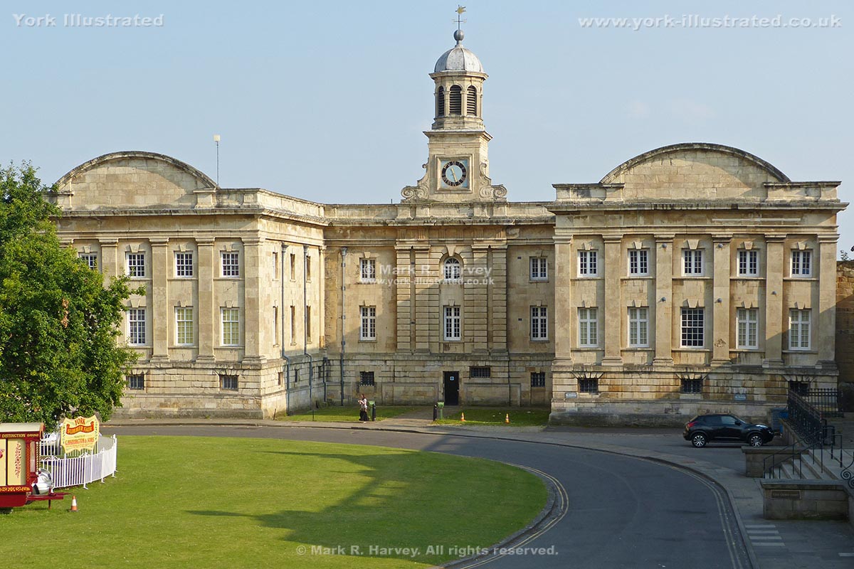
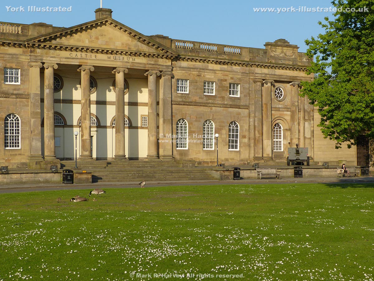
The Debtors' Prison was built in the attractive 'English Baroque' style between 1701 and 1705. Originally the County Gaol, it is now part of York Castle Museum.

Read more

Dick Turpin's Grave

Photo as per caption. Opens larger version.

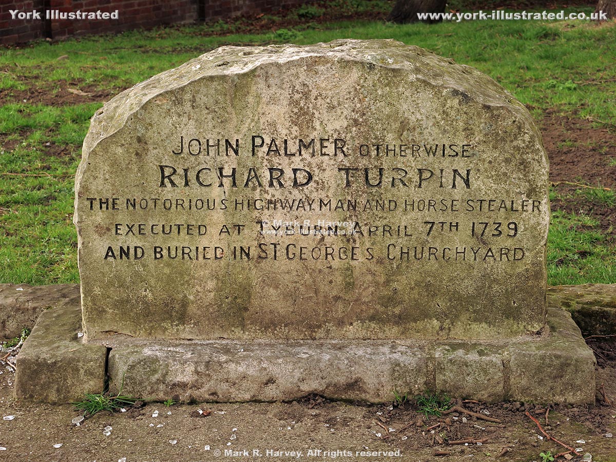
A headstone in the graveyard of St George's Church marks the location of the reputed last resting place of the infamous highwayman known as Dick Turpin.

Ditch and Earth Bank Beside Northeast City Wall

Photo as per caption. Opens larger version.

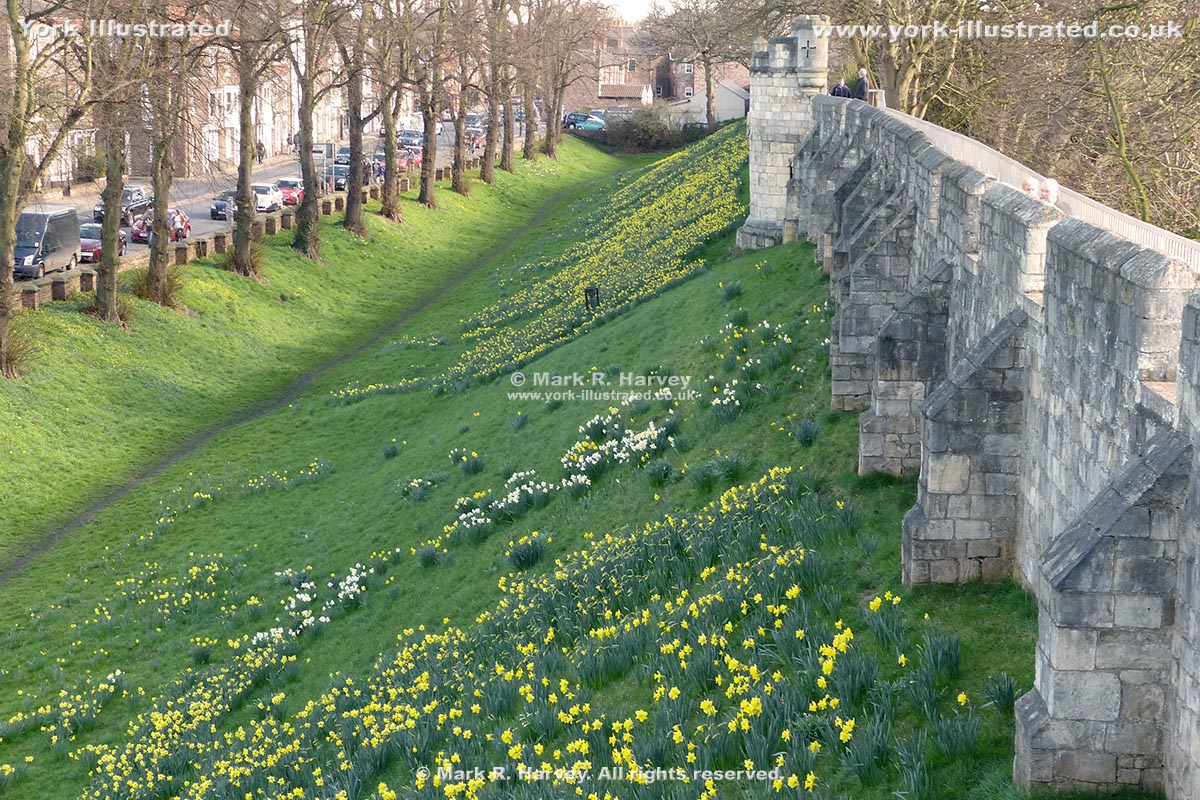
York's perimeter defences consisted of a wall (with towers) built on an earth bank beside a deep ditch. The ditch is now only visible to the north of the city.

Duncombe Place

Photo as per caption. Opens larger version.

Duncombe Place was created between 1859 and 1864 when the southeast side of Little Blake Street was demolished to open-up views of York Minster's west front.

Edible Wood

Photo as per caption. Opens larger version.

The Edible Wood is a small publicly accessible (wheelchair-friendly) garden dedicated to plants containing at least one edible component.

Read more

Esplanade / Dame Judi Dench Walk

Photo as per caption. Opens larger version.

The Esplanade was constructed in 1842 to reduce flooding in Museum Gardens and to provide a pleasant riverside walk. It was re-named Dame Judi Dench Walk in 2000.

Read more

Esplanade Access Arch

Photo as per caption. Opens larger version.

The pedestrian arch beside the Water Tower in York was inserted into the defensive wall of St Mary's Abbey in 1836 to facilitate construction of the Esplanade.

Exhibition Square

Photo as per caption. Opens larger version.

This pleasant public space was created in 1879 to provide an attractive setting for the city's new art gallery. The garden was replaced with a fountain in 1972.

Read more

Eye of York

Photo as per caption. Opens larger version.

The 'Eye of York' is a small oval of grass in the middle of York Castle's inner bailey. It was previously known as 'Castle Yard', then the 'Eye of the Ridings'.

Read more

Fairfax House

Photo as per caption. Opens larger version.

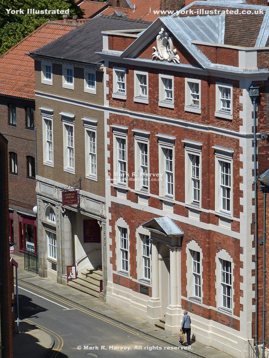
Fairfax House is an attractive Georgian town house on Castlegate. It was constructed between 1755 & 1762 to a design by John Carr. It is now a museum.

Read more

Female Prison Building

Photo as per caption. Opens larger version.

The central section of York's Female Prison was built between 1780 and 1783. The two wings were added in 1802. The podium and steps were added circa 1820-1850.

Read more

Fishergate Bar

Photo as per caption. Opens larger version.

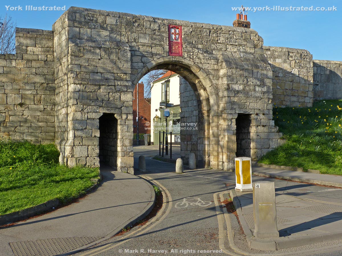
Fishergate Bar was once a very important gateway and it would have been a much grander structure than the simple set of openings that we see today.

Read more

Fishergate Postern

Photo as per caption. Opens larger version.

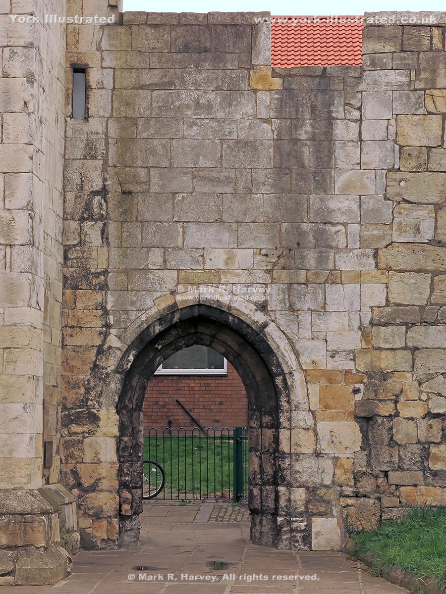
Fishergate Postern was constructed circa 1440. However, it was dismantled and rebuilt approximately sixty-five years later when the adjacent tower was built.

Fishergate Postern Tower

Photo as per caption. Opens larger version.

Fishergate Postern Tower was built on the eastern bank of the River Foss in circa 1505 to defend the adjacent postern and the nearby dam across the River Foss.

Read more

Foss Barrier

Photo as per caption. Opens larger version.

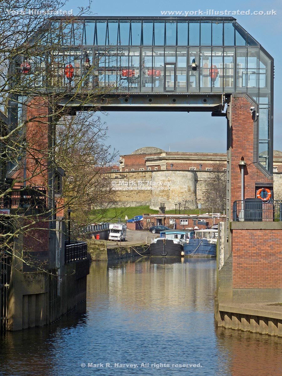
The Foss Barrier forms a key part of the city's flood defences. It allows the River Foss and neighbouring low-lying areas to be isolated from the River Ouse.

Read more

Pages