A very simple post consisting of a short 'snippet' of information (often just one or two sentences) and at least one image.

Show / hide tips
  • Every item classified with this term is included in this extract.
  • The items have been grouped by content type, then listed in alphabetical order.
  • To speed-up page-loading, a maximum of 24 locations are displayed on each page.
  • If there are more than 24 items, click / tap on the page navigation buttons (located below the list) to display the additional page(s).
  • To view a larger version of an image, click / tap on the image.
  • To view all available information and images for an item of content, click / tap on its title or 'Read More' link. (If a 'Read more' link is provided, a brief article and / or a high quality external link is available.)
  • To view the locations on interactive maps and aerial imagery, use the 'Explore' app.

Gazetteer Entry

Photo as per caption. Opens larger version.

49 to 51 Goodramgate and the Wealden Hall

Number 49-51 Goodramgate dates from circa 1500. The "Wealden Hall" (in Powell's Yard to the rear) is a building style rarely found outside Kent / Sussex.

Photo as per caption. Opens larger version.

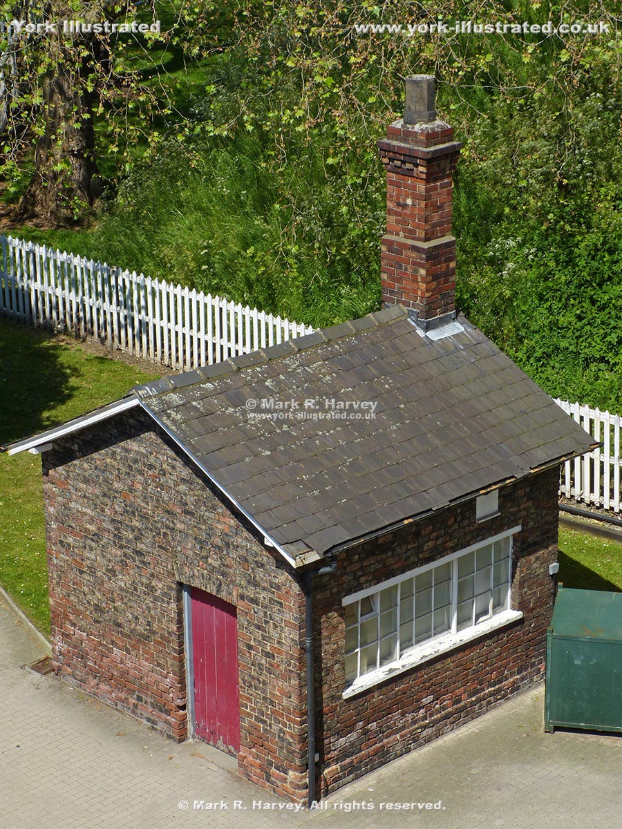
Archway Signal Box Building

Archway Signal Box was built circa 1841 by the York & North Midland Railway Company to control train movements into and out of its nearby railway station.

Photo as per caption. Opens larger version.

Baile Hill (aka The Old Baille)

During the 11th century, York boasted two 'motte and bailey' fortifications, one on each side of the River Ouse. Baile Hill is the motte of the western one.

Photo as per caption. Opens larger version.

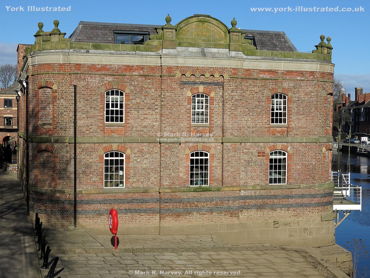
Bonding Warehouse

From 1875 to 1958, York Corporation used the Bonding Warehouse to store imported goods that were subject to Excise duty. It now contains flats and offices.

Photo as per caption. Opens larger version.

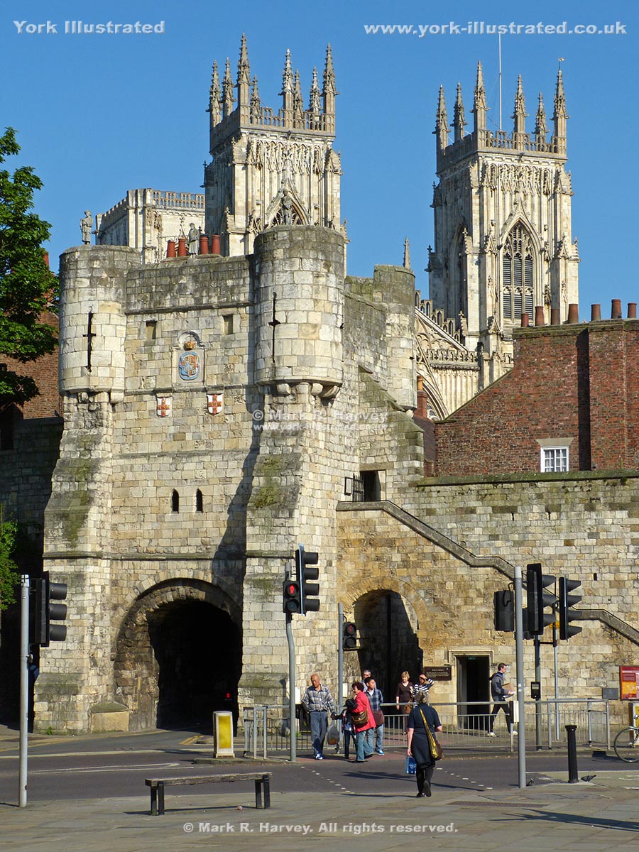
Bootham Bar

Bootham Bar was built in the 12th century to protect the city's western entrance. It now forms a key access point for the northern section of York's City Walls.

Photo as per caption. Opens larger version.

Castlegate

During the Medieval and Tudor periods, Castlegate was the main thoroughfare linking Ouse Bridge and the town centre with the outer bailey of York Castle.

Photo as per caption. Opens larger version.

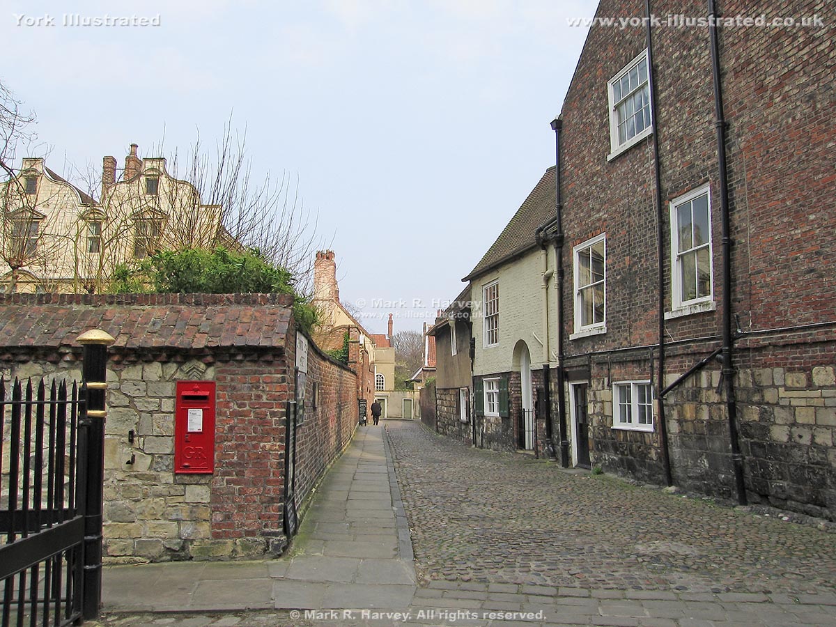
Chapter House Street

Chapter House Street follows the alignment of the Via Decumana (the road linking the northeast gate of the Roman fortress of Eboracum with the Principia).

Photo as per caption. Opens larger version.

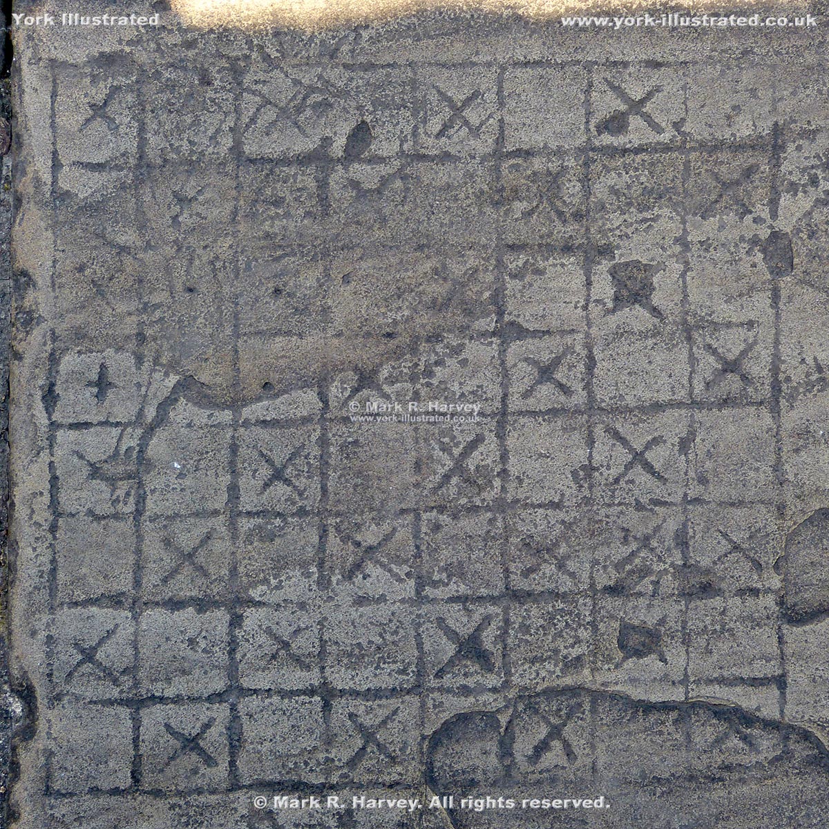
Chess Board Carving on Wall Walk

A chess board has been carved onto a paving slab that forms part of the walkway along the top of the southwestern section of York's City Wall (near Tower 5).

Photo as per caption. Opens larger version.

Coffee Yard

Coffee Yard is a narrow, low-headroom passageway linking Stonegate with Grape Lane in the medieval streets area of York. It has a delightful central courtyard.

Photo as per caption. Opens larger version.

Davy Tower

The base of Davy Tower dates from the early 14th century. Its alternative name is 'The Tower of the Friars Minor', which referred to a nearby Franciscan Friary.

Photo as per caption. Opens larger version.

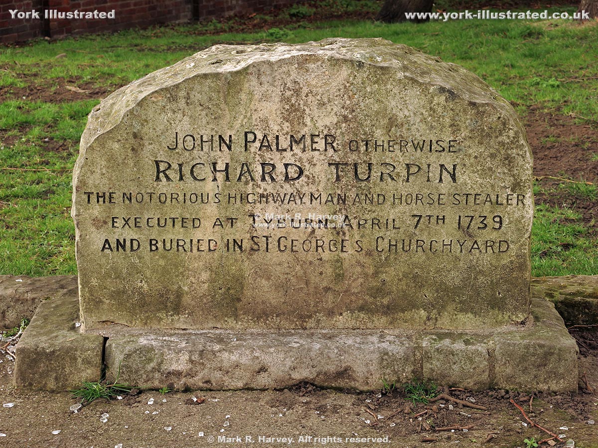
Dick Turpin's Grave

A headstone in the graveyard of St George's Church marks the location of the reputed last resting place of the infamous highwayman known as Dick Turpin.

Photo as per caption. Opens larger version.

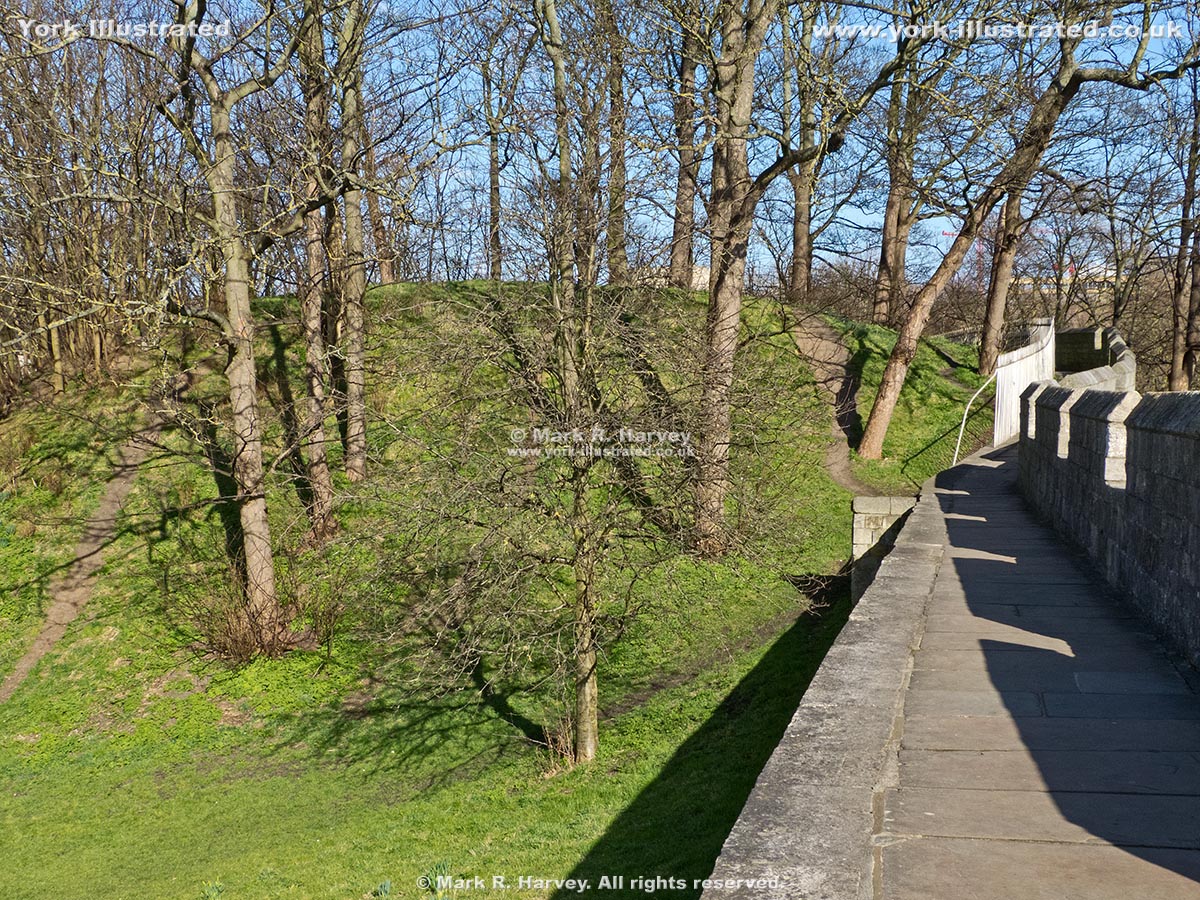
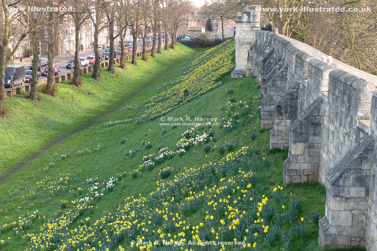
Ditch and Earth Bank Beside Northeast City Wall

York's perimeter defences consisted of a wall (with towers) built on an earth bank beside a deep ditch. The ditch is now only visible to the north of the city.

Photo as per caption. Opens larger version.

Duncombe Place

Duncombe Place was created between 1859 and 1864 when the southeast side of Little Blake Street was demolished to open-up views of York Minster's west front.

Photo as per caption. Opens larger version.

Esplanade Access Arch

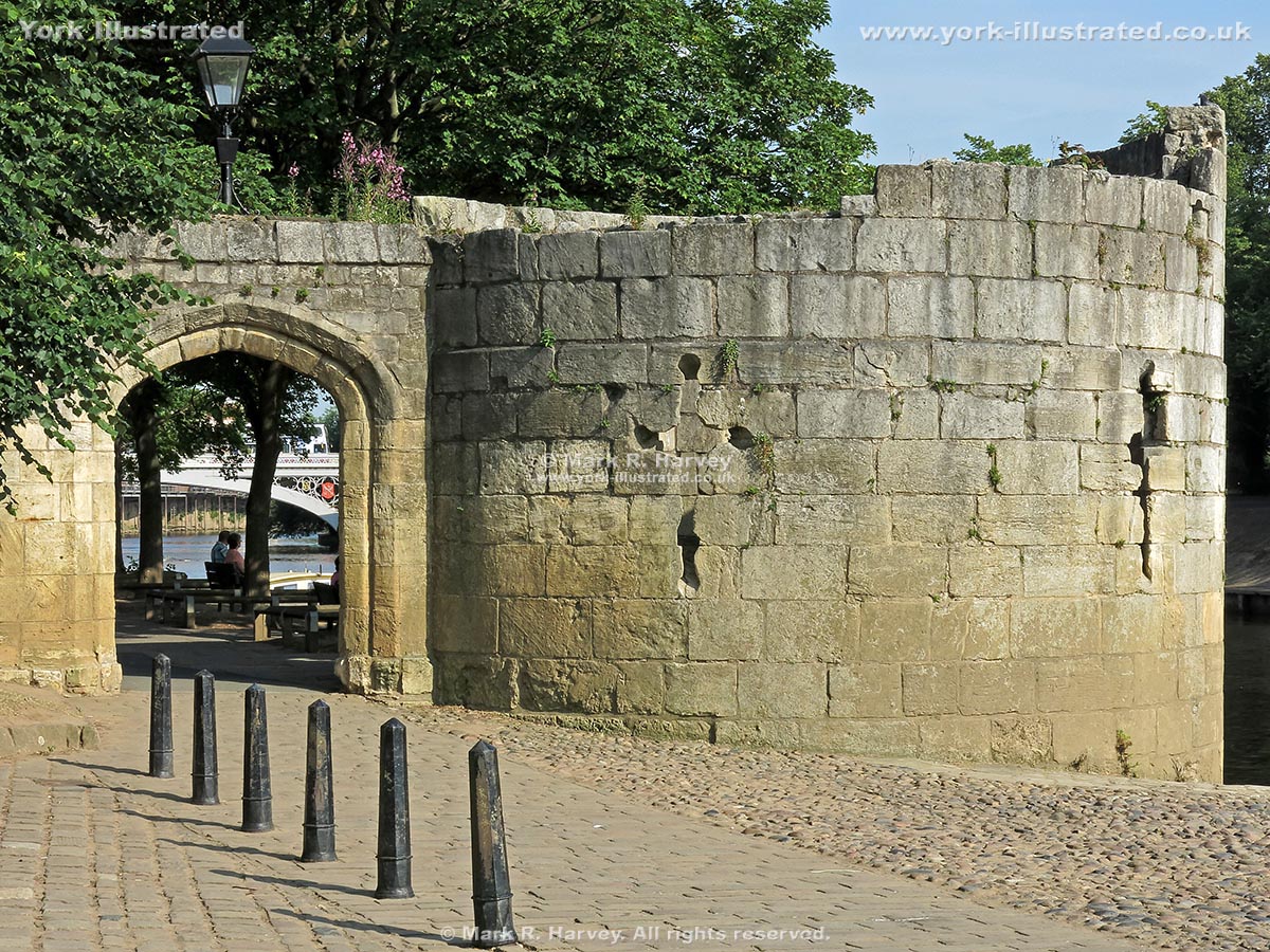
The pedestrian arch beside the Water Tower in York was inserted into the defensive wall of St Mary's Abbey in 1836 to facilitate construction of the Esplanade.

Photo as per caption. Opens larger version.

Fishergate Postern

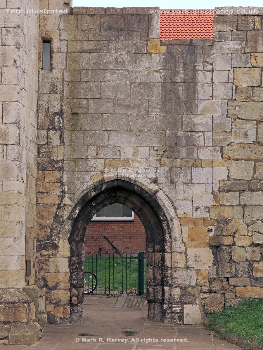
Fishergate Postern was constructed circa 1440. However, it was dismantled and rebuilt approximately sixty-five years later when the adjacent tower was built.

Photo as per caption. Opens larger version.

Goodramgate

Goodramgate links the heart of the city with Monk Bar. It is wider than most of York's medieval streets: a reflection of its importance and prosperity.

Photo as per caption. Opens larger version.

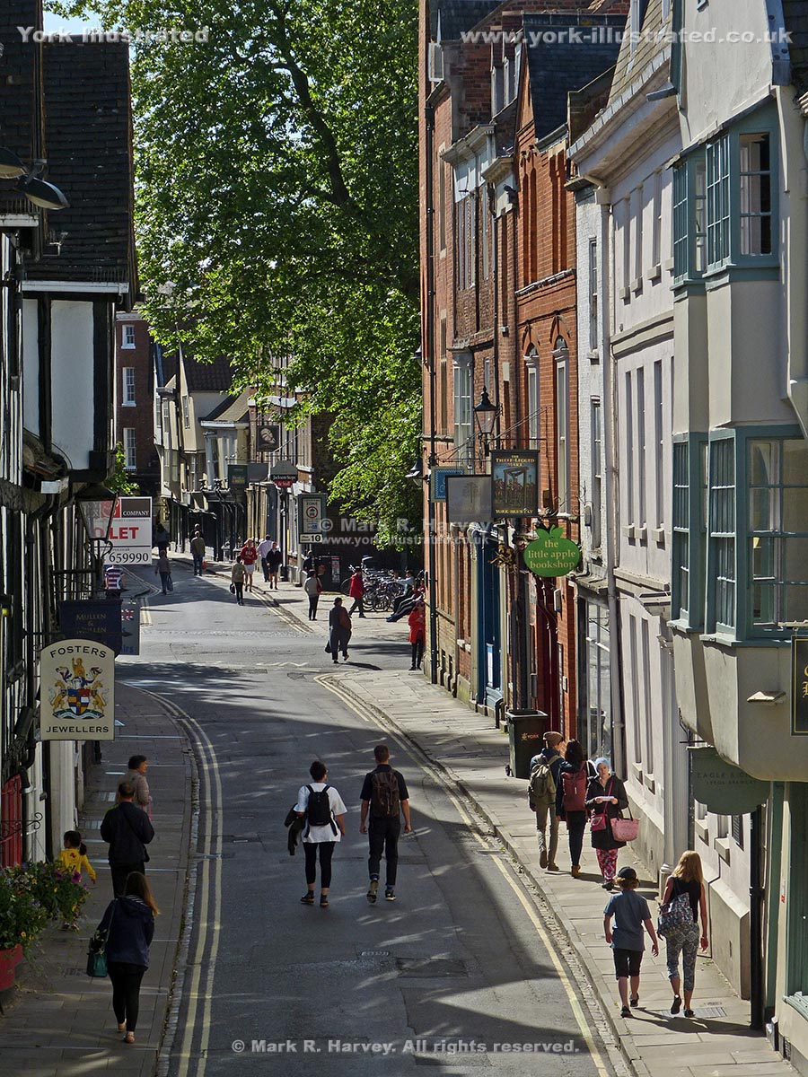
Grape Lane

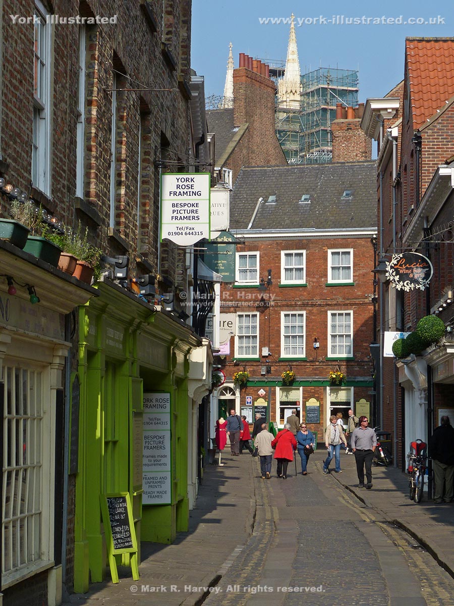
Grape Lane is now an attractive retail street in the heart of the medieval quarter. However, for centuries it was home to workshops, warehouses and brothels.

Photo as per caption. Opens larger version.

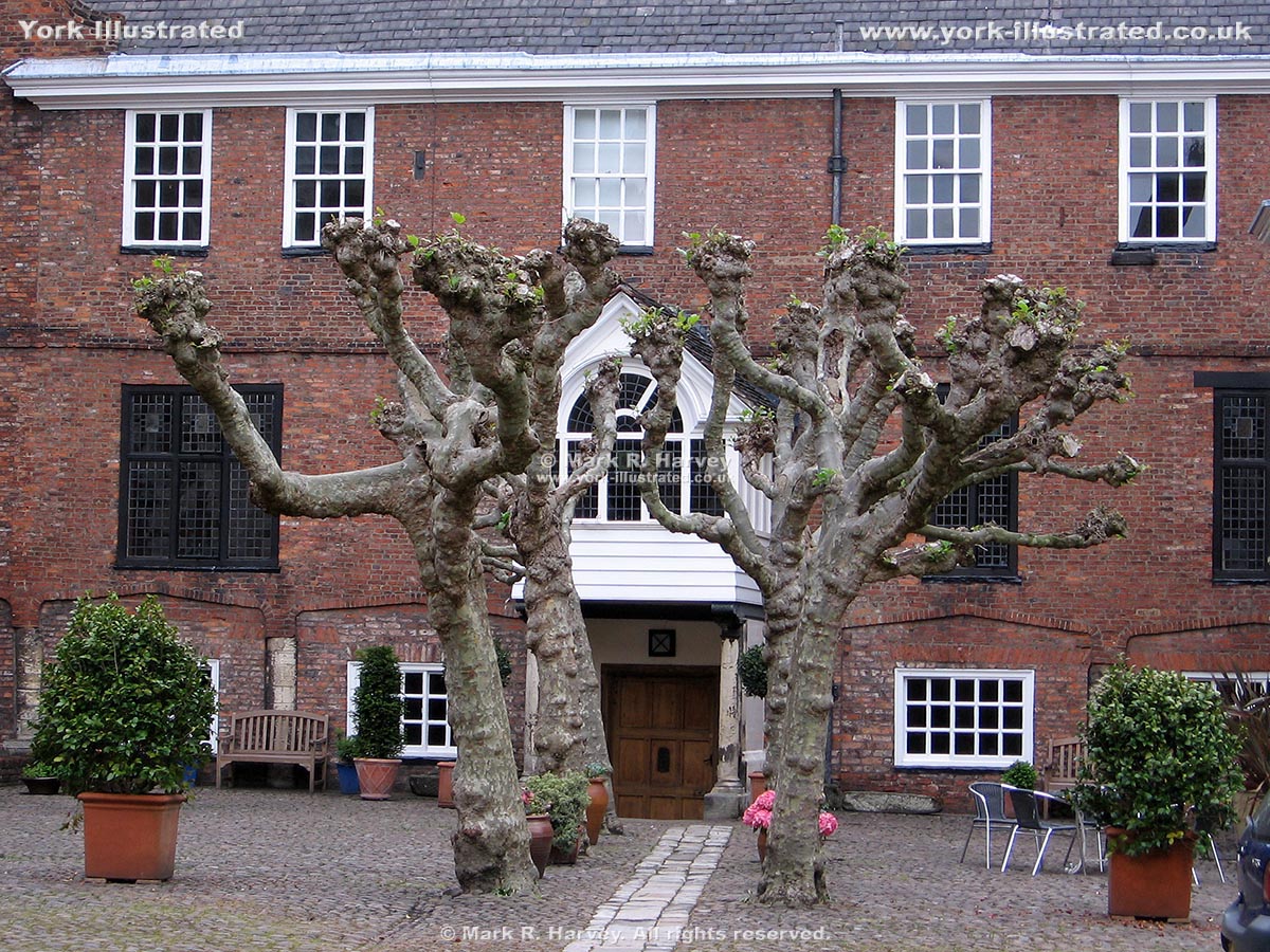
Gray's Court

Externally, Gray's Court dates mainly from the 18th and 19th centuries, but it includes 12th century masonry (perhaps from the Medieval Treasurer's residence).

Photo as per caption. Opens larger version.

High Petergate

High Petergate follows the alignment of the northwestern end of the Via Principalis (one of the main roads through the Roman fortress of Eboracum).

Photo as per caption. Opens larger version.

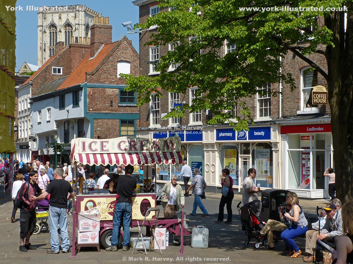
King's Square

King's Square lies on the site of a Viking palace. The triangular 'square' was created in 1937, after the redundant Holy Trinity church was demolished.

Photo as per caption. Opens larger version.

Lady Row

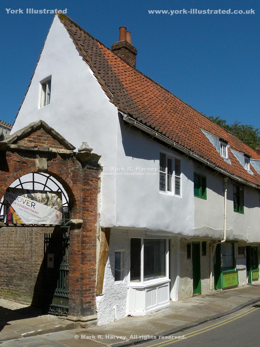
Lady Row (60 to 72 Goodramgate) is the oldest-known timber-framed building in York. It was built in 1316 on land owned by the adjacant Holy Trinity Church.

Photo as per caption. Opens larger version.

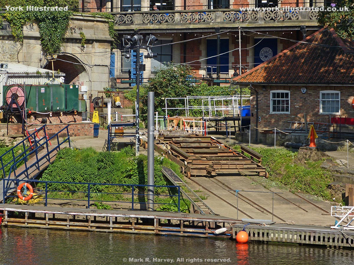
Lendal Boatyard

Lendal Boatyard is now the operating base for the city's commercial tour boats, but the site originally provided moorings for water-born visitors to River House.

Photo as per caption. Opens larger version.

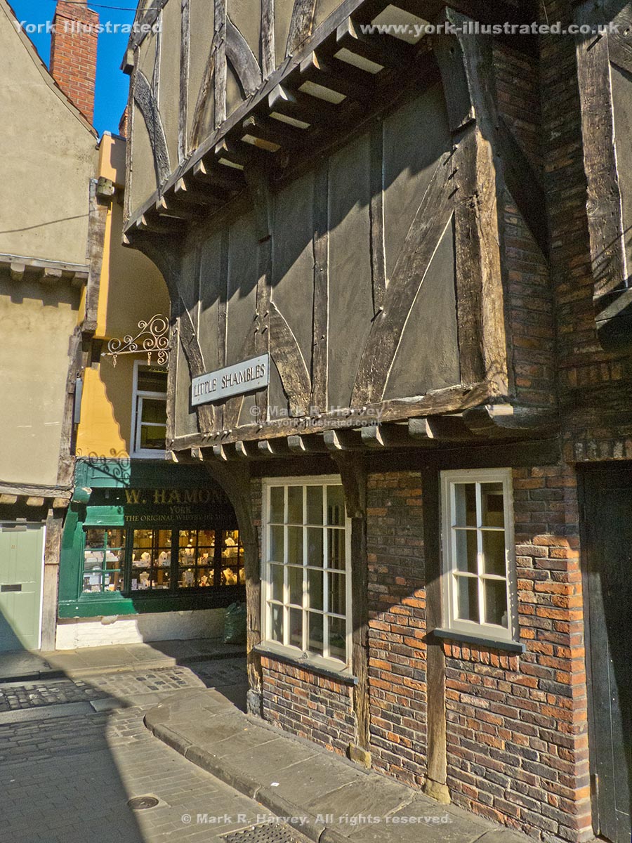
Little Shambles

Little Shambles links the Shambles with Newgate Market. Narrow streets and jettied, timber-framed buildings give the area a 'medieval' character.

Photo as per caption. Opens larger version.

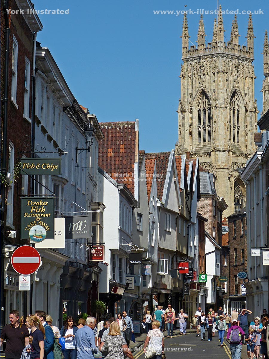
Low Petergate

Petergate is named after York Minster, which is dedicated to St Peter. The first recorded use of the names High Petergate and Low Petergate dates from 1736.

Pages