Two-star rating - HIGHLY RECOMMENDED. For most first-time visitors, this location is likely to be a worthwhile addition to a sight-seeing itinerary.

Show / hide tips
  • Every item classified with this term is included in this extract.
  • The items have been grouped by content type, then listed in alphabetical order.
  • To speed-up page-loading, a maximum of 24 locations are displayed on each page.
  • If there are more than 24 items, click / tap on the page navigation buttons (located below the list) to display the additional page(s).
  • To view a larger version of an image, click / tap on the image.
  • To view all available information and images for an item of content, click / tap on its title or 'Read More' link. (If a 'Read more' link is provided, a brief article and / or a high quality external link is available.)
  • To view the locations on interactive maps and aerial imagery, use the 'Explore' app.

Gazetteer Entry

Photo as per caption. Opens larger version.

49 to 51 Goodramgate and the Wealden Hall

Number 49-51 Goodramgate dates from circa 1500. The "Wealden Hall" (in Powell's Yard to the rear) is a building style rarely found outside Kent / Sussex.

Photo as per caption. Opens larger version.

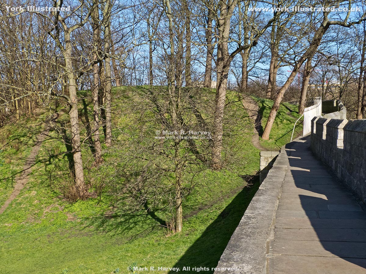
Baile Hill (aka The Old Baille)

During the 11th century, York boasted two 'motte and bailey' fortifications, one on each side of the River Ouse. Baile Hill is the motte of the western one.

Photo as per caption. Opens larger version.

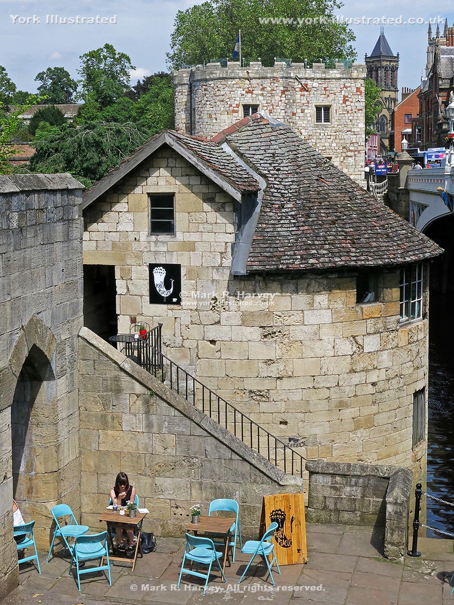
Barker Tower (aka North Street Postern Tower)

Barker Tower was built during the mid-14th century. The Leonard's Landing ferrymen lived here until 1863. Since then it has been a mortuary, storeroom and cafe (although not all at the same time).

Read more

Photo as per caption. Opens larger version.

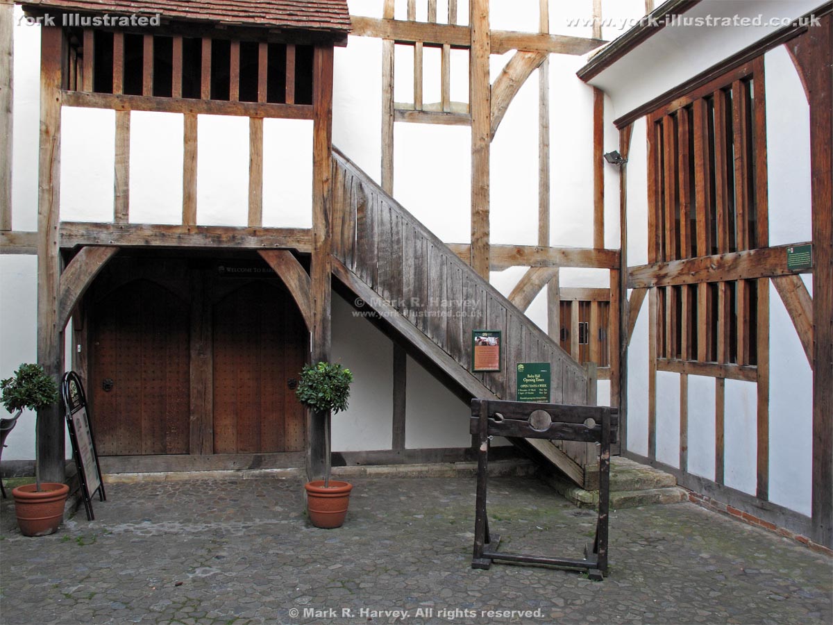
Barley Hall

Built in phases from c1360 onwards, Barley Hall has been a hostel for the Priors of Nostell Priory, the home of a wealthy York goldsmith and a plumber's yard.

Read more

Photo as per caption. Opens larger version.

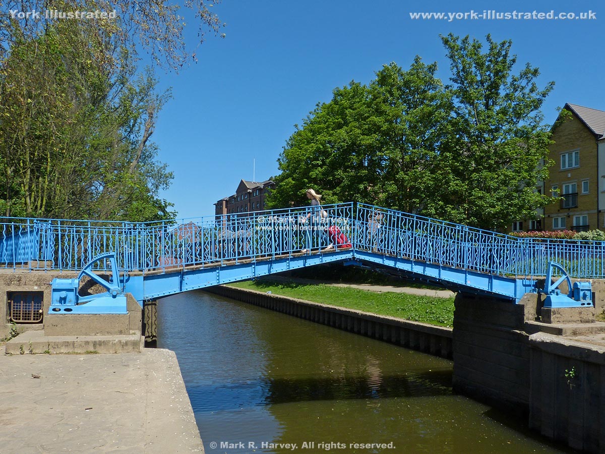
Blue Bridge

This manually-operated double-leaf bascule footbridge carries the riverside path across Browney Dyke (a section of the Foss Navigation near the River Ouse).

Read more

Photo as per caption. Opens larger version.

Coffee Yard

Coffee Yard is a narrow, low-headroom passageway linking Stonegate with Grape Lane in the medieval streets area of York. It has a delightful central courtyard.

Photo as per caption. Opens larger version.

College Street and College Green

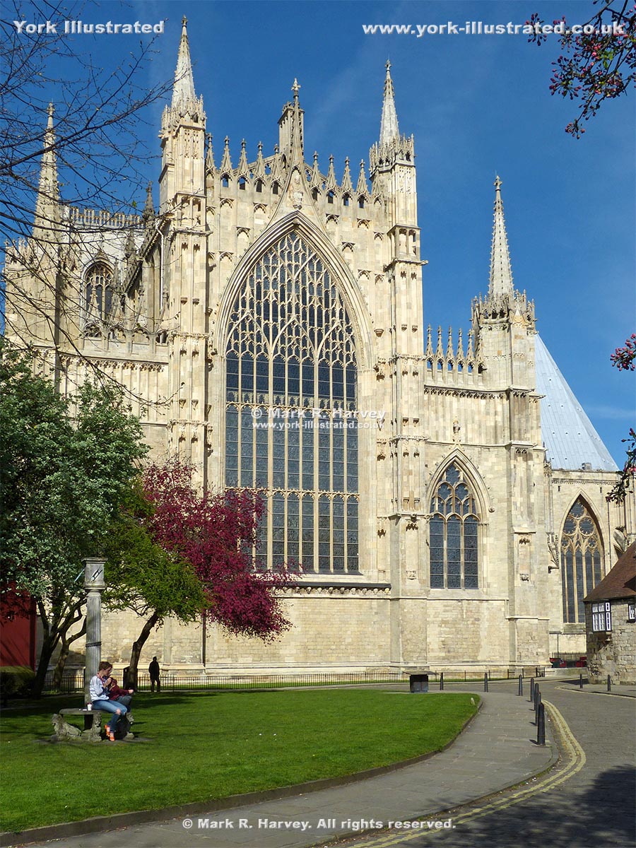
College Street is named after St William’s College on the northeast side. The creation of College Green has opened-up a lovely view of the Minster's East Front.

Read more

Photo as per caption. Opens larger version.

Cross-sections through Defensive Bank (Rampart)

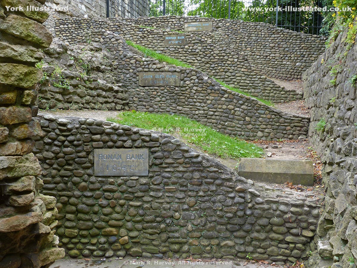
This set of four of cross-sections through the ramparts show how this section of the city's defences evolved over a period of more than thirteen centuries.

Read more

Photo as per caption. Opens larger version.

Esplanade / Dame Judi Dench Walk

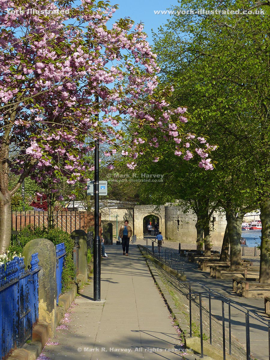
The Esplanade was constructed in 1842 to reduce flooding in Museum Gardens and to provide a pleasant riverside walk. It was re-named Dame Judi Dench Walk in 2000.

Read more

Photo as per caption. Opens larger version.

Fishergate Postern Tower

Fishergate Postern Tower was built on the eastern bank of the River Foss in circa 1505 to defend the adjacent postern and the nearby dam across the River Foss.

Read more

Photo as per caption. Opens larger version.

Guildhall

York's Grade I listed Guildhall was built in 1449. It was restored during the 1950s after being severely damaged by fire during a bombing raid on 29 April 1942.

Read more

Photo as per caption. Opens larger version.

High Petergate

High Petergate follows the alignment of the northwestern end of the Via Principalis (one of the main roads through the Roman fortress of Eboracum).

Photo as per caption. Opens larger version.

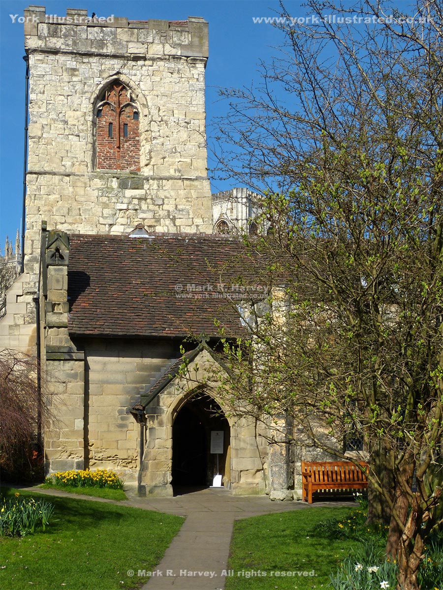
Holy Trinity Church, Goodramgate

The earliest fragments of Holy Trinity Church date from the 12th century. The 15th century tower has a relatively modern, but rare saddleback roof.

Read more

Photo as per caption. Opens larger version.

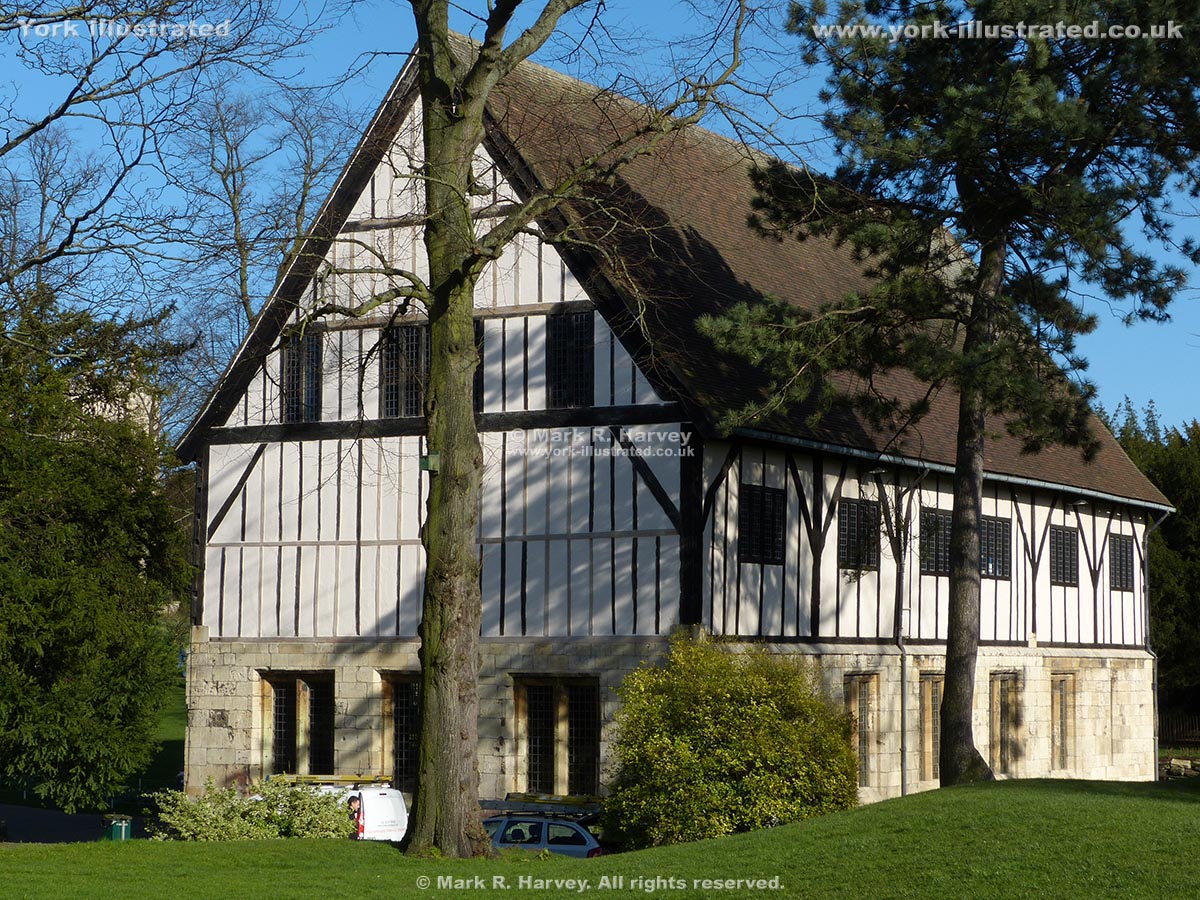
Hospitium

The Grade II listed Hospitium was probably built as a guest house for pilgrims visiting St Mary's Abbey. The oldest parts are 14th-15th century.

Read more

Photo as per caption. Opens larger version.

Lady Row

Lady Row (60 to 72 Goodramgate) is the oldest-known timber-framed building in York. It was built in 1316 on land owned by the adjacant Holy Trinity Church.

Photo as per caption. Opens larger version.

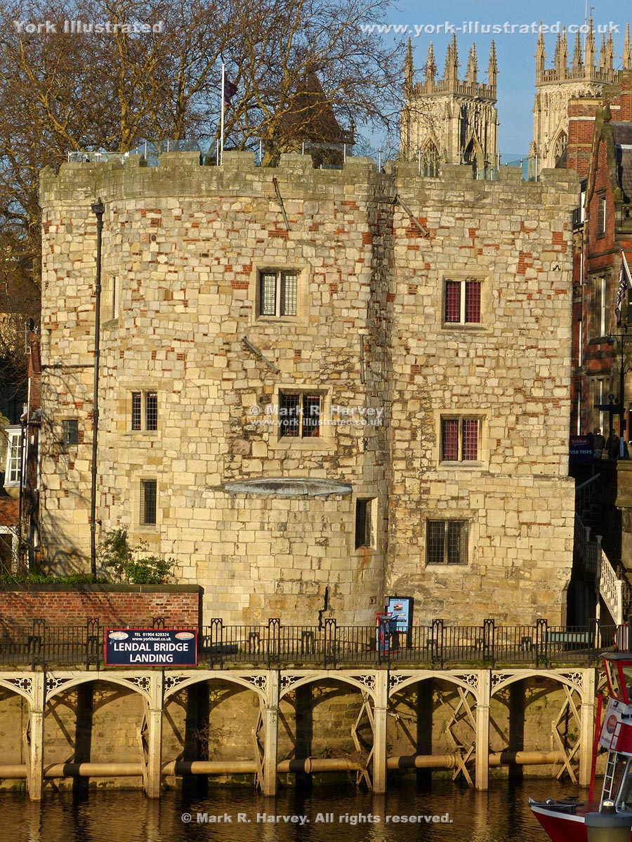
Lendal Tower

When Lendal Tower was built in the early 14th century, it was a small drum tower (similar to Barker Tower, on the opposite bank of the river).

Read more

Photo as per caption. Opens larger version.

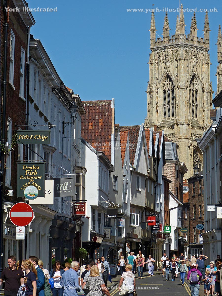
Low Petergate

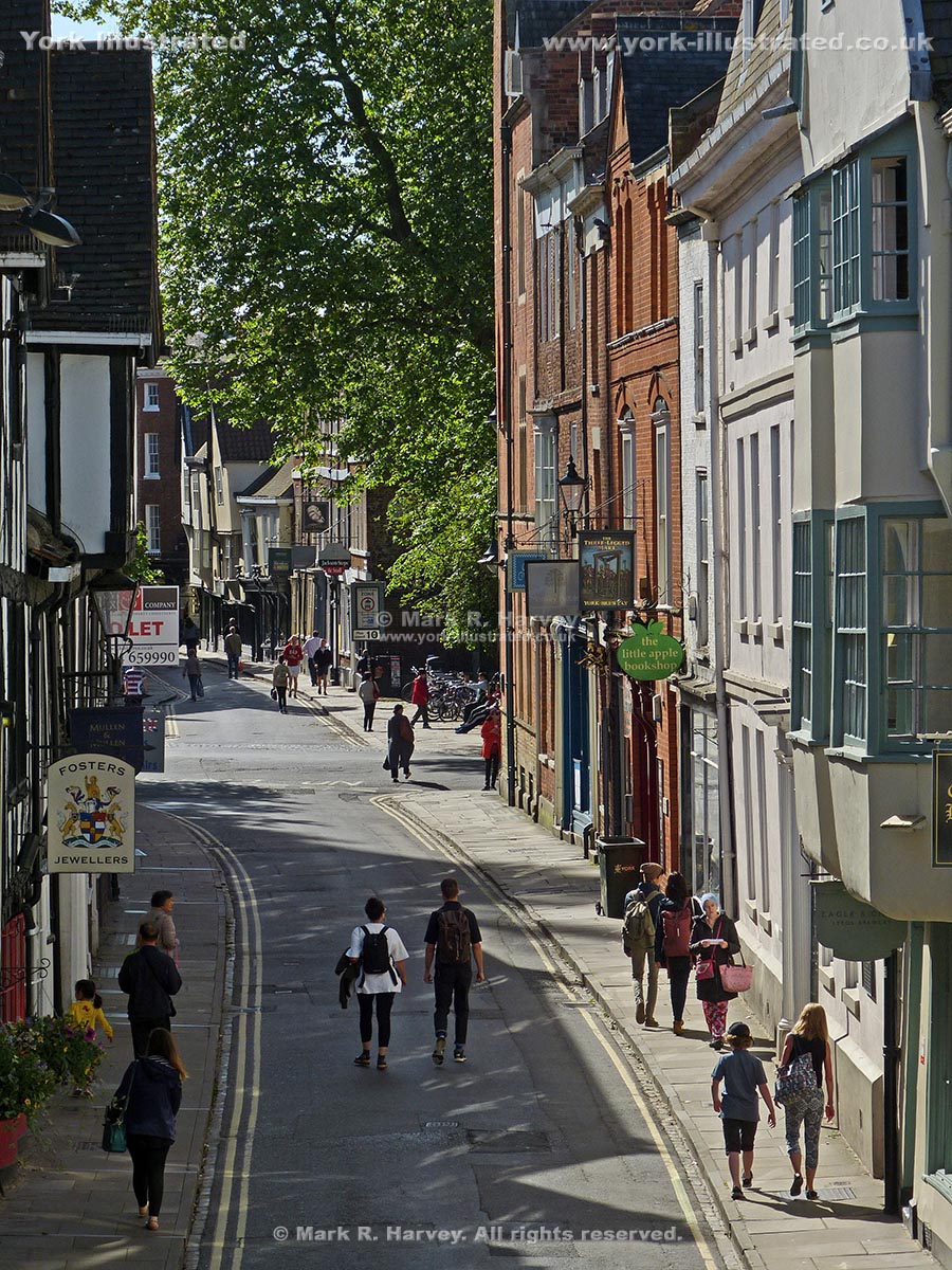
Petergate is named after York Minster, which is dedicated to St Peter. The first recorded use of the names High Petergate and Low Petergate dates from 1736.

Photo as per caption. Opens larger version.

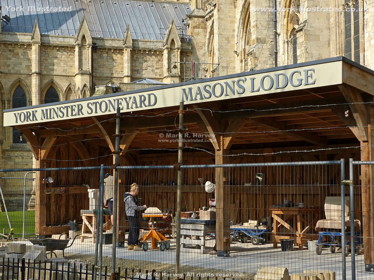
Mason's Lodge

As part of the never-ending process of repairing York Minster, stonemasons use the Mason's Lodge to carve replacements for damaged and weathered stonework.

Read more

Photo as per caption. Opens larger version.

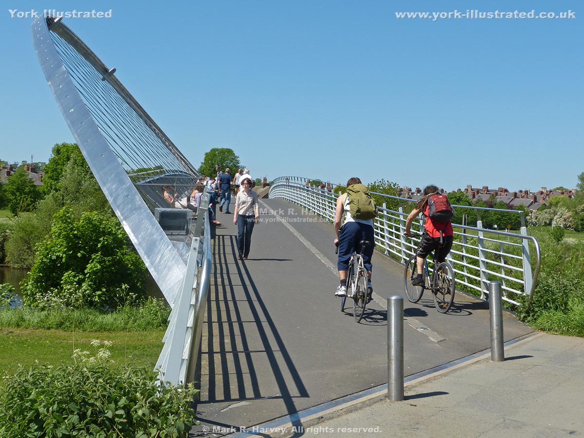
Millennium Bridge

York's Millennium Bridge is a combination of footpath, cycle-route, bench-seat, viewpoint and sculpture that spans the River Ouse close to Rowntree Park.

Read more

Photo as per caption. Opens larger version.

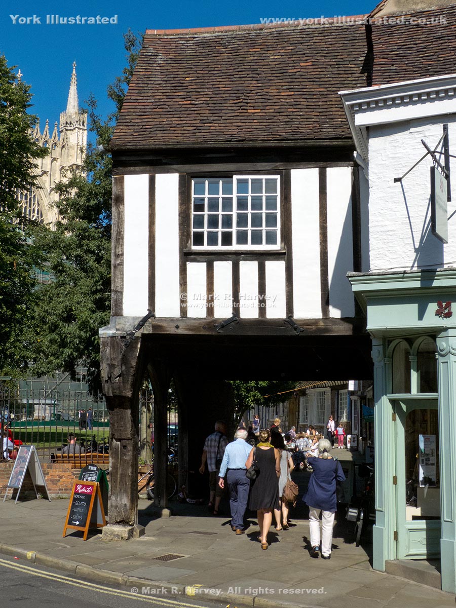
Minster Gatehouse

The Minster Gatehouse straddles the original alignment of College Street. The gates controlled access to the precinct of York Minster from Goodramgate.

Read more

Photo as per caption. Opens larger version.

Minster Yard (north)

Minster Yard (north) is a relatively quiet street within the Liberty of St Peter, to the north of York Minster and the Dean's Park.

Photo as per caption. Opens larger version.

Minster Yard (south)

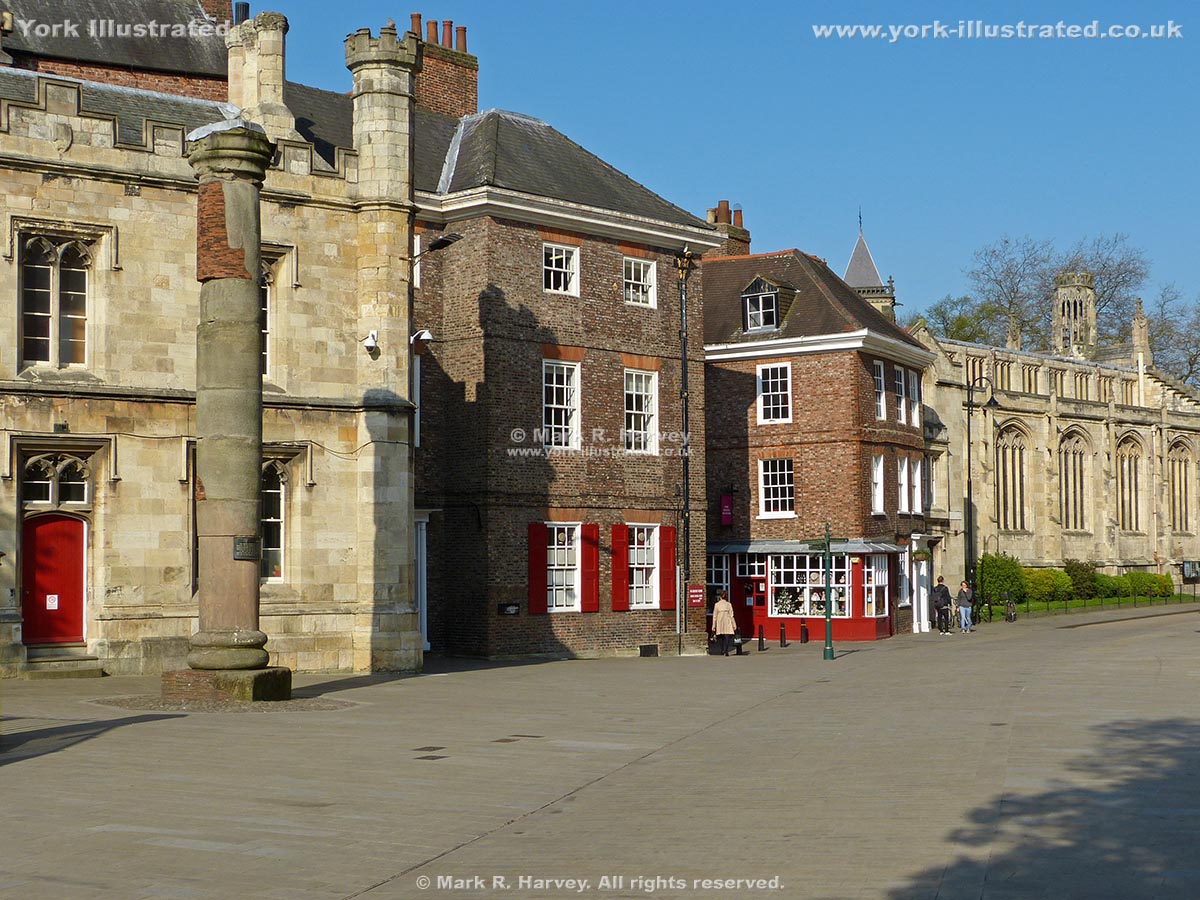
Minster Yard (south) is a pleasant and popular pedestrianised street adjacent to the south transept of York Minster, within the Liberty of St Peter.

Photo as per caption. Opens larger version.

National Railway Museum (NRM)

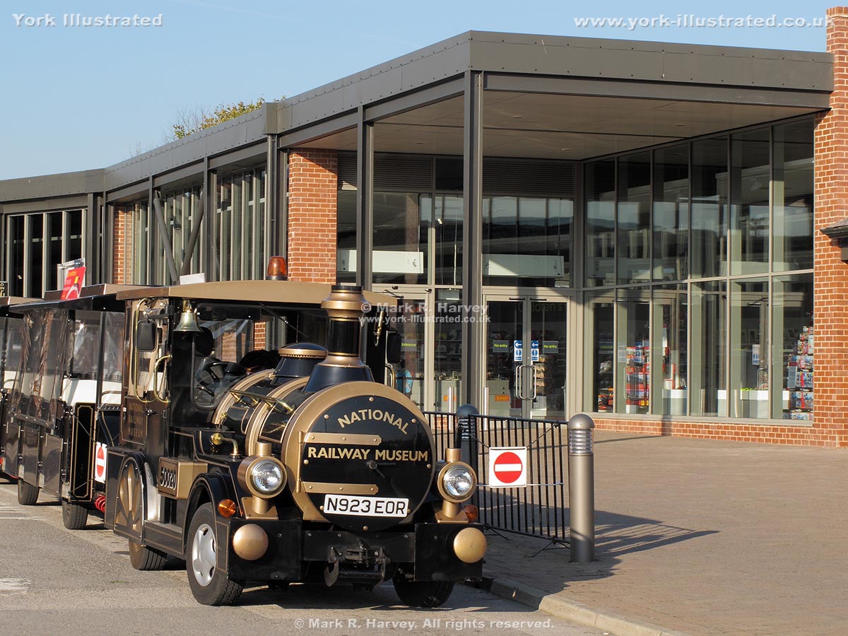
The museum claims to house the largest collection of railway-related objects in the world. It has an extensive collection of locomotives, passenger and freight rolling stock, signalling equipment and documents (including photographs, maps and plans).

Read more

Photo as per caption. Opens larger version.

New Walk

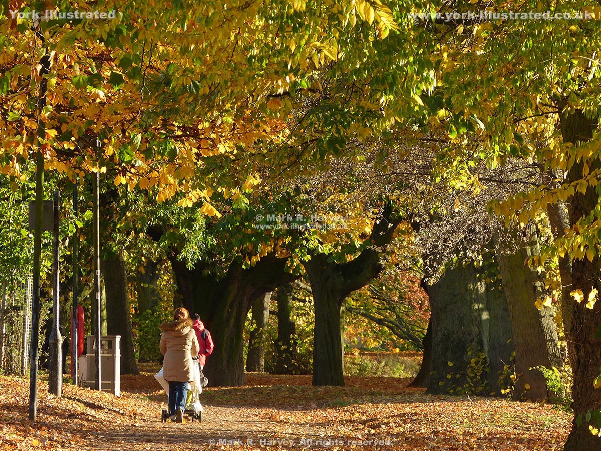
The New Walk is a ¾ mile (1.2 km) long riverside footpath and cycle route linking Tower Gardens and the South Esplanade with the Millennium Footbridge.

Read more

Pages