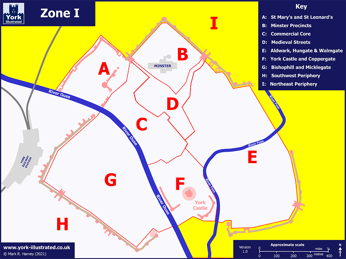
Map as per caption. Opens larger version.
Show / hide tips
  • Every item classified with this term is included in this extract.
  • The items have been grouped by content type, then listed in alphabetical order.
  • To speed-up page-loading, a maximum of 24 locations are displayed on each page.
  • If there are more than 24 items, click / tap on the page navigation buttons (located below the list) to display the additional page(s).
  • To view a larger version of an image, click / tap on the image.
  • To view all available information and images for an item of content, click / tap on its title or 'Read More' link. (If a 'Read more' link is provided, a brief article and / or a high quality external link is available.)
  • To view the locations on interactive maps and aerial imagery, use the 'Explore' app.
Gazetteer Entry

Photo as per caption. Opens larger version.

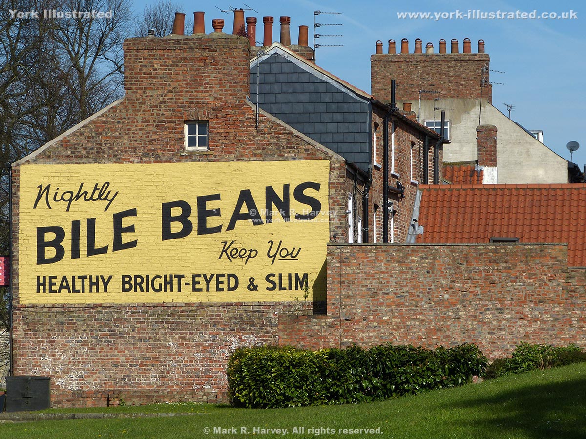
Bile Beans Ghost Sign

The intriguing advertisement for "Bile Beans" is a 'ghost sign' on the side wall of a house at the junction of Lord Mayor's Walk and Monkgate, near Monk Bar.

Read more

Photo as per caption. Opens larger version.

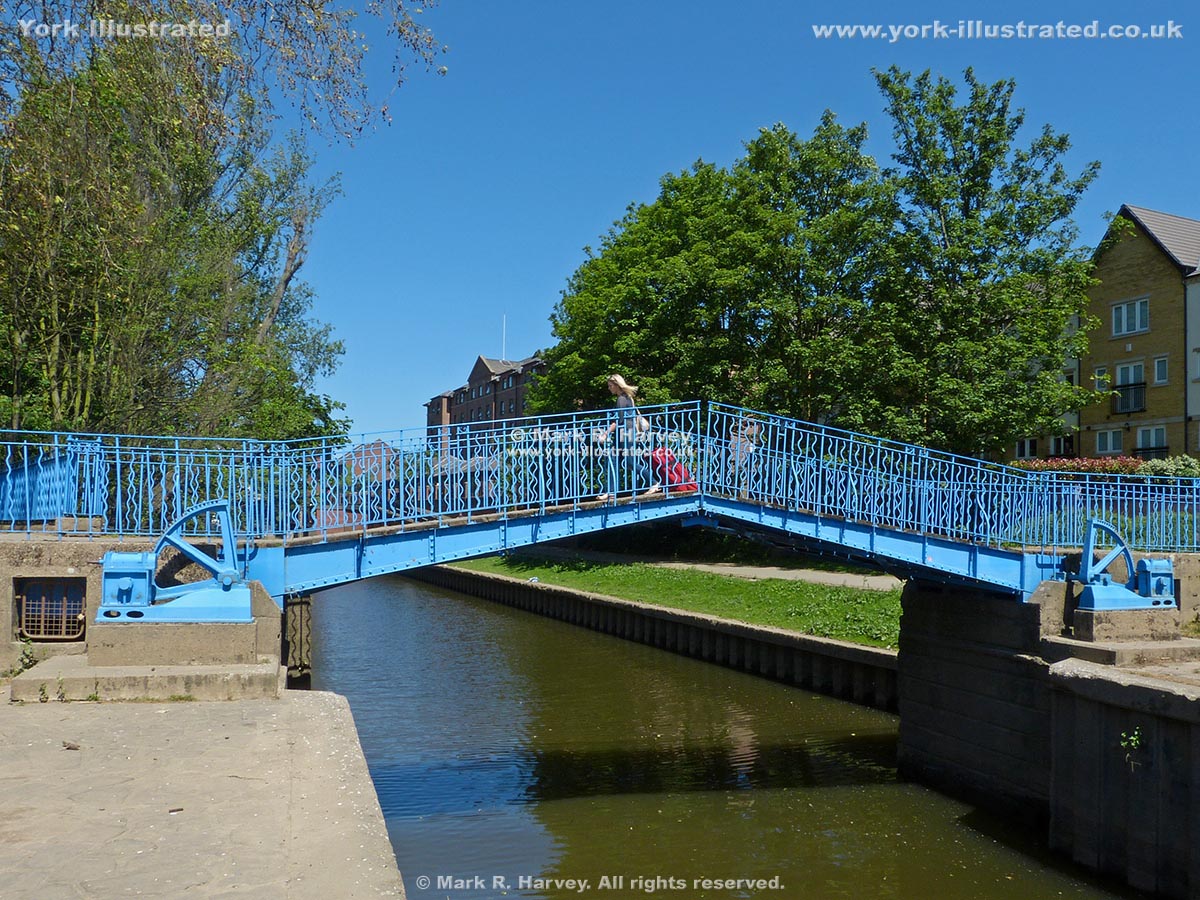
Blue Bridge

This manually-operated double-leaf bascule footbridge carries the riverside path across Browney Dyke (a section of the Foss Navigation near the River Ouse).

Read more

Photo as per caption. Opens larger version.

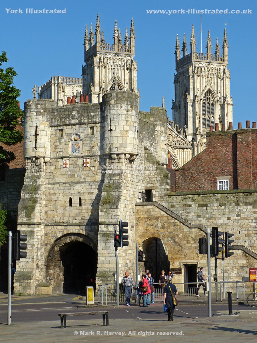
Bootham Bar

Bootham Bar was built in the 12th century to protect the city's western entrance. It now forms a key access point for the northern section of York's City Walls.

Photo as per caption. Opens larger version.

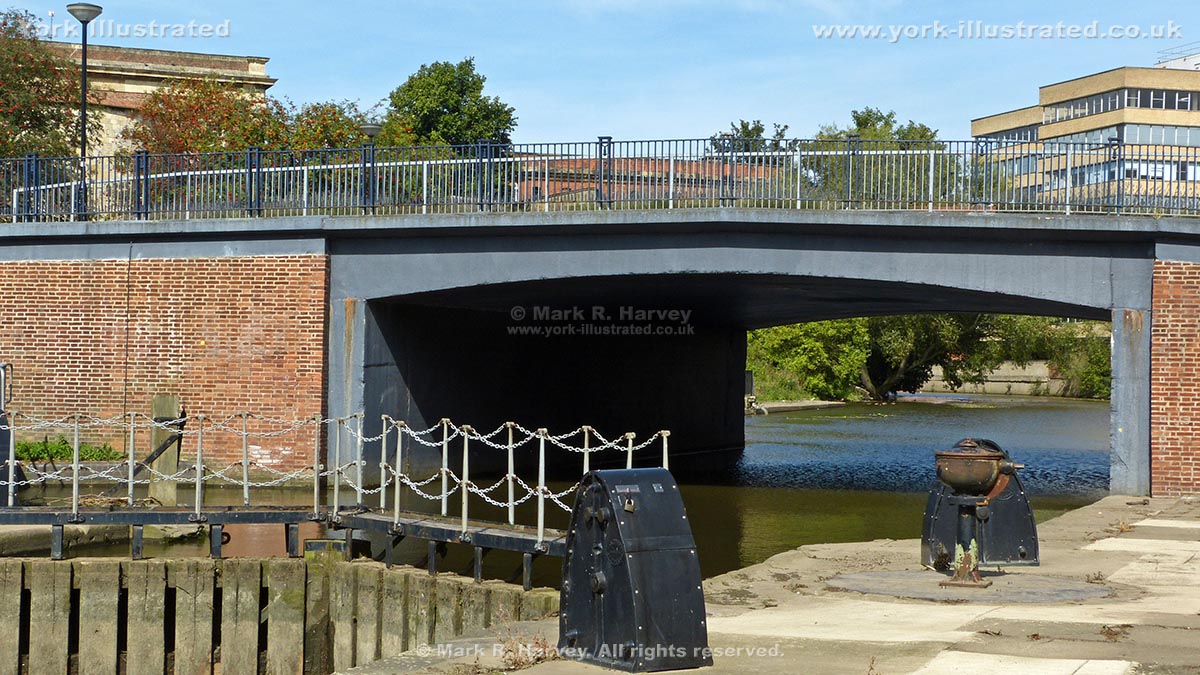
Castle Mills Bridge

Castle Mills Bridge was built in 1955 and 1956 to carry Tower Street (part of York's Inner Ring Road) across the River Foss (aka the Foss Navigation).

Read more

Photo as per caption. Opens larger version.

Castle Mills Lock

Castle Mills Lock is 34 metres long x 6 metres wide. It was built in 1796, widened in 1889 and is now the only operational lock on the Foss Navigation.

Read more

Photo as per caption. Opens larger version.

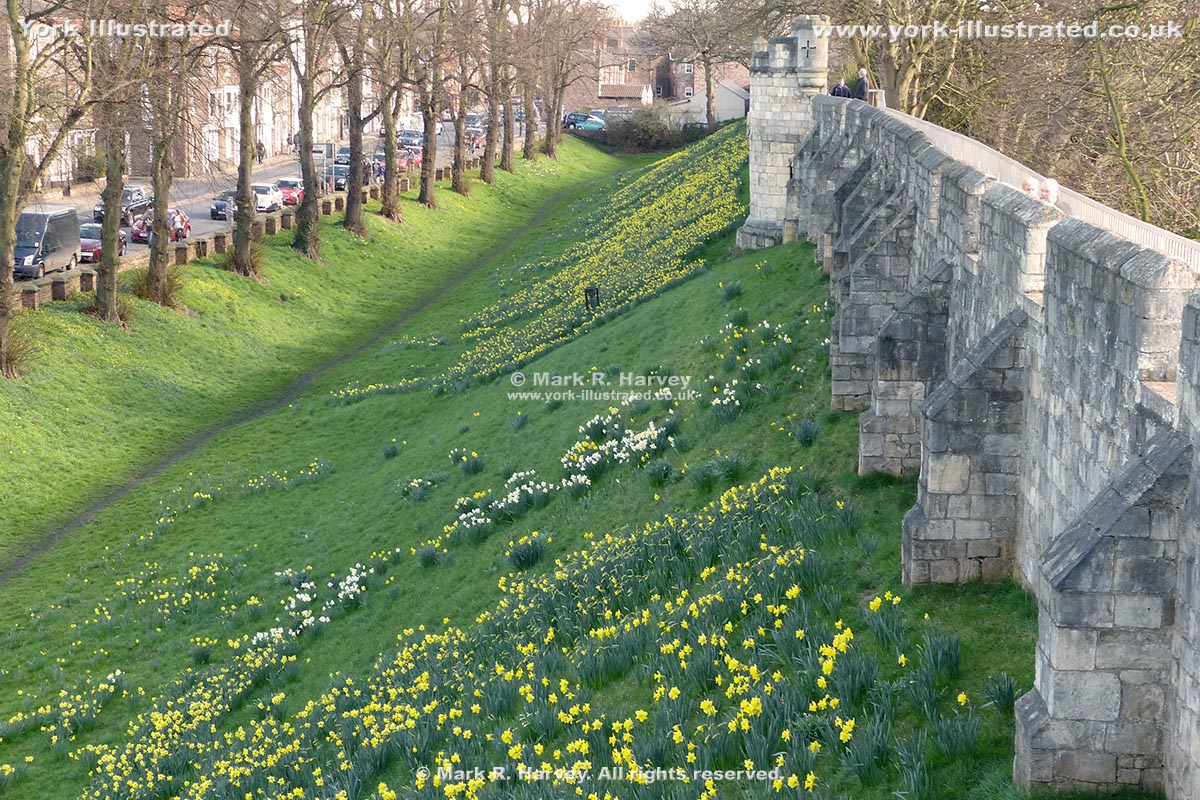
Ditch and Earth Bank Beside Northeast City Wall

York's perimeter defences consisted of a wall (with towers) built on an earth bank beside a deep ditch. The ditch is now only visible to the north of the city.

Photo as per caption. Opens larger version.

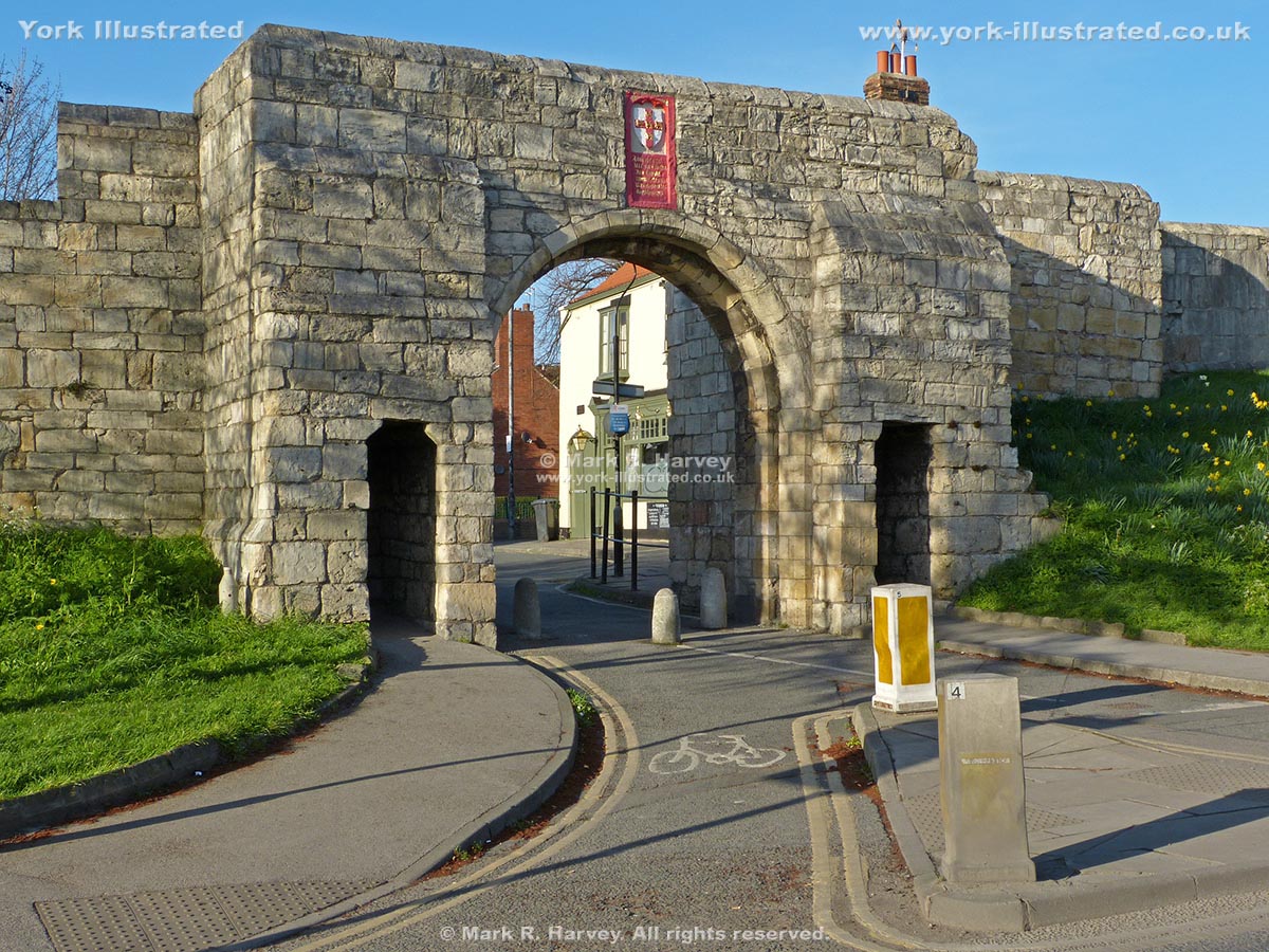
Fishergate Bar

Fishergate Bar was once a very important gateway and it would have been a much grander structure than the simple set of openings that we see today.

Read more

Photo as per caption. Opens larger version.

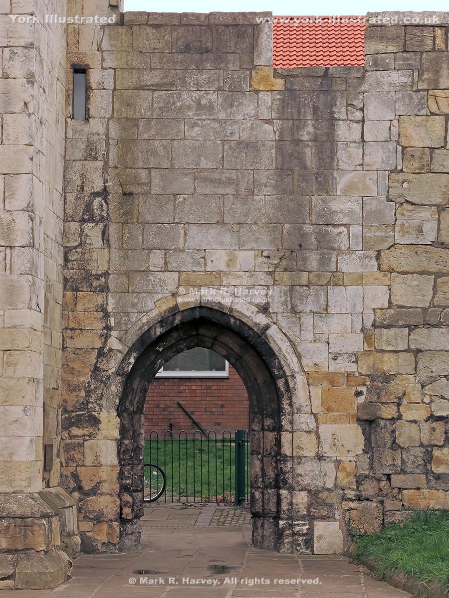
Fishergate Postern

Fishergate Postern was constructed circa 1440. However, it was dismantled and rebuilt approximately sixty-five years later when the adjacent tower was built.

Photo as per caption. Opens larger version.

Fishergate Postern Tower

Fishergate Postern Tower was built on the eastern bank of the River Foss in circa 1505 to defend the adjacent postern and the nearby dam across the River Foss.

Read more

Photo as per caption. Opens larger version.

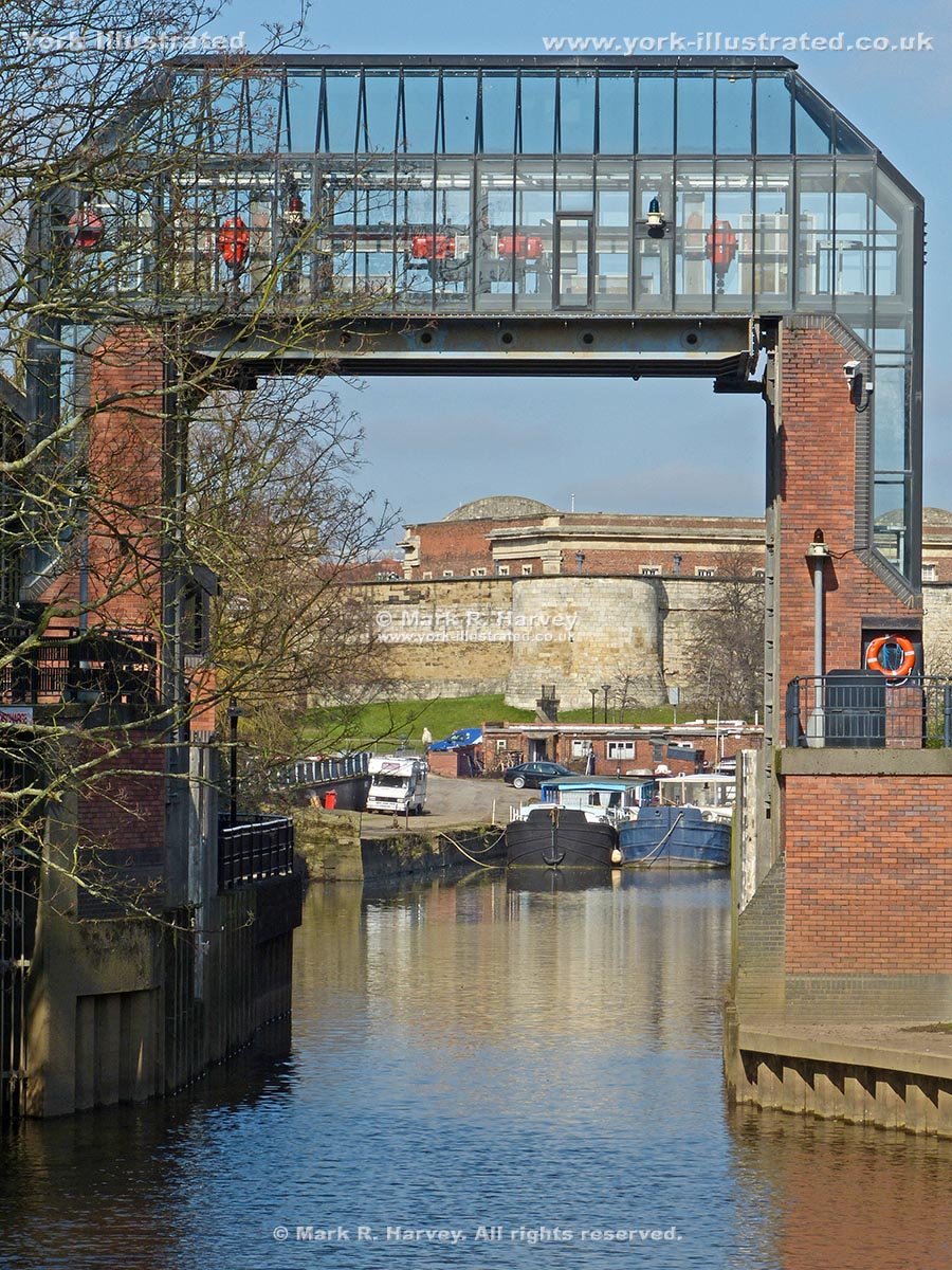
Foss Barrier

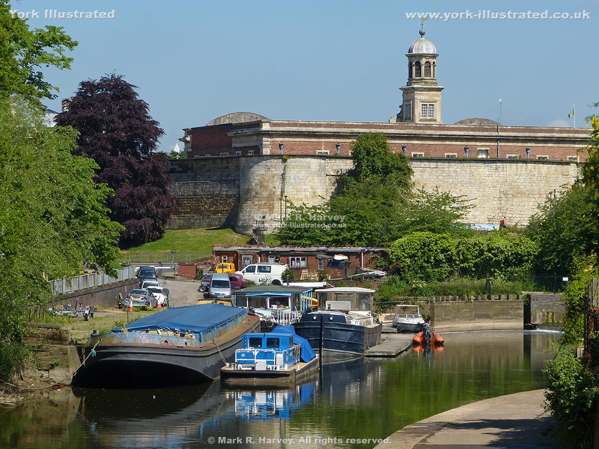
The Foss Barrier forms a key part of the city's flood defences. It allows the River Foss and neighbouring low-lying areas to be isolated from the River Ouse.

Read more

Photo as per caption. Opens larger version.

Foss Basin

Foss Basin (also known as Castle Mills Lock Basin) lies on the River Foss between the Foss Barrier and Castle Mills Lock.

Read more

Photo as per caption. Opens larger version.

Fulford Ordnance Wharf and Military Tramway System

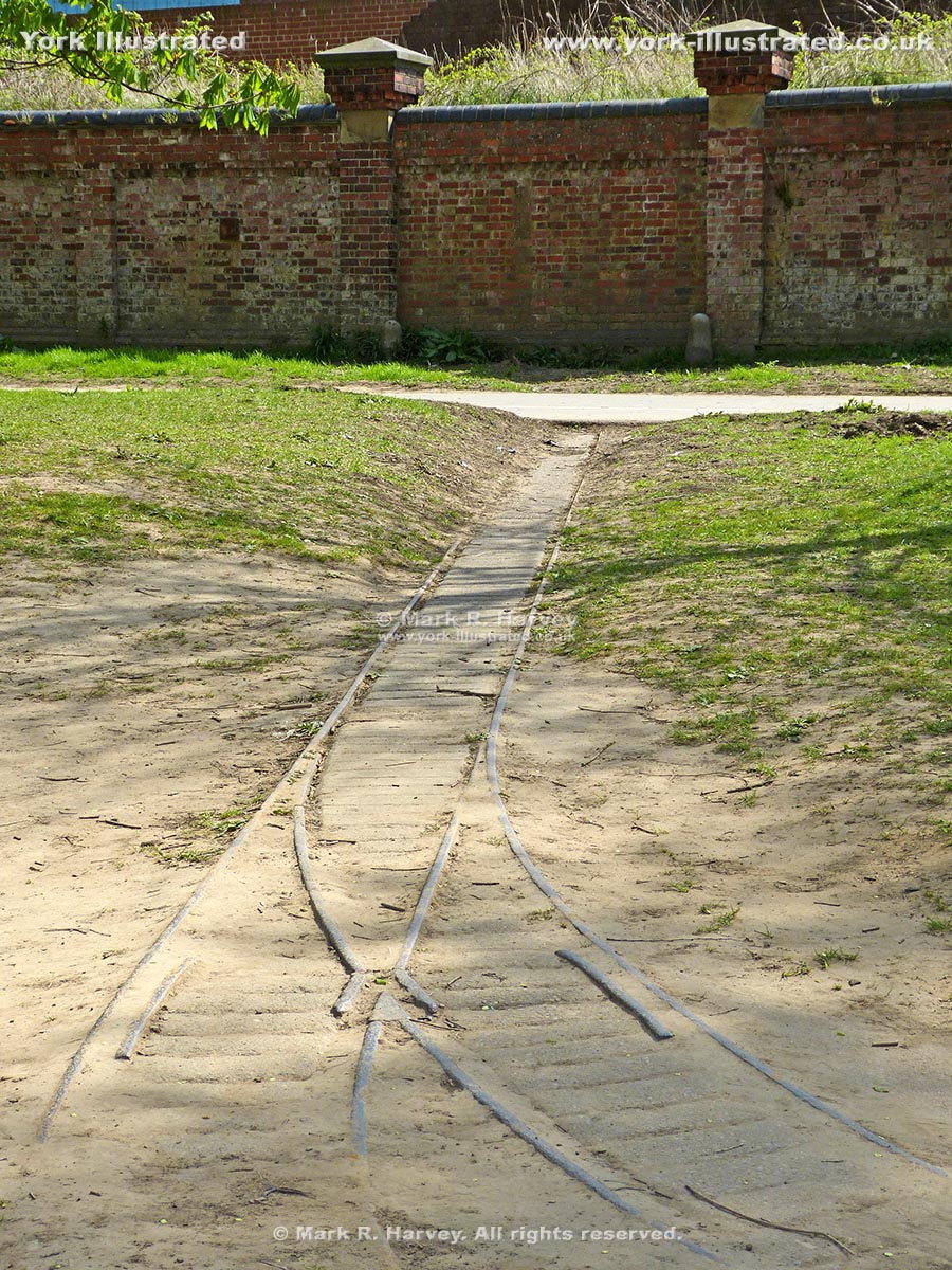
The wharf and 18-inch guage tramway system were constructed in 1878 to serve a complex of military stores and workshops associated with Fulford Barracks.

Read more

Photo as per caption. Opens larger version.

Historic Latrines

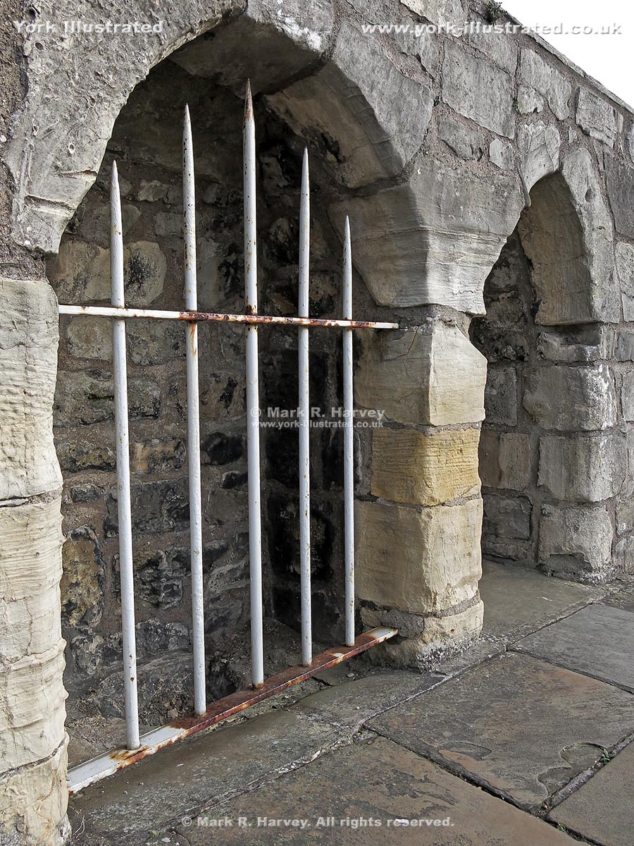
Between tower 31 and the site of tower 30, a pair of historic latrines (toilets / urinals) have been set into the City Walls beside the wall-top walkway.

Read more

Photo as per caption. Opens larger version.

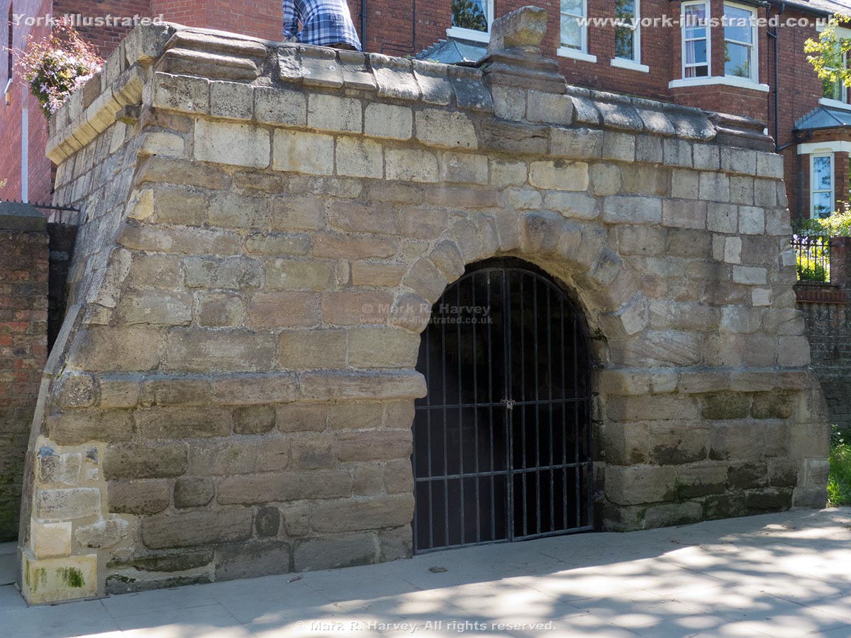
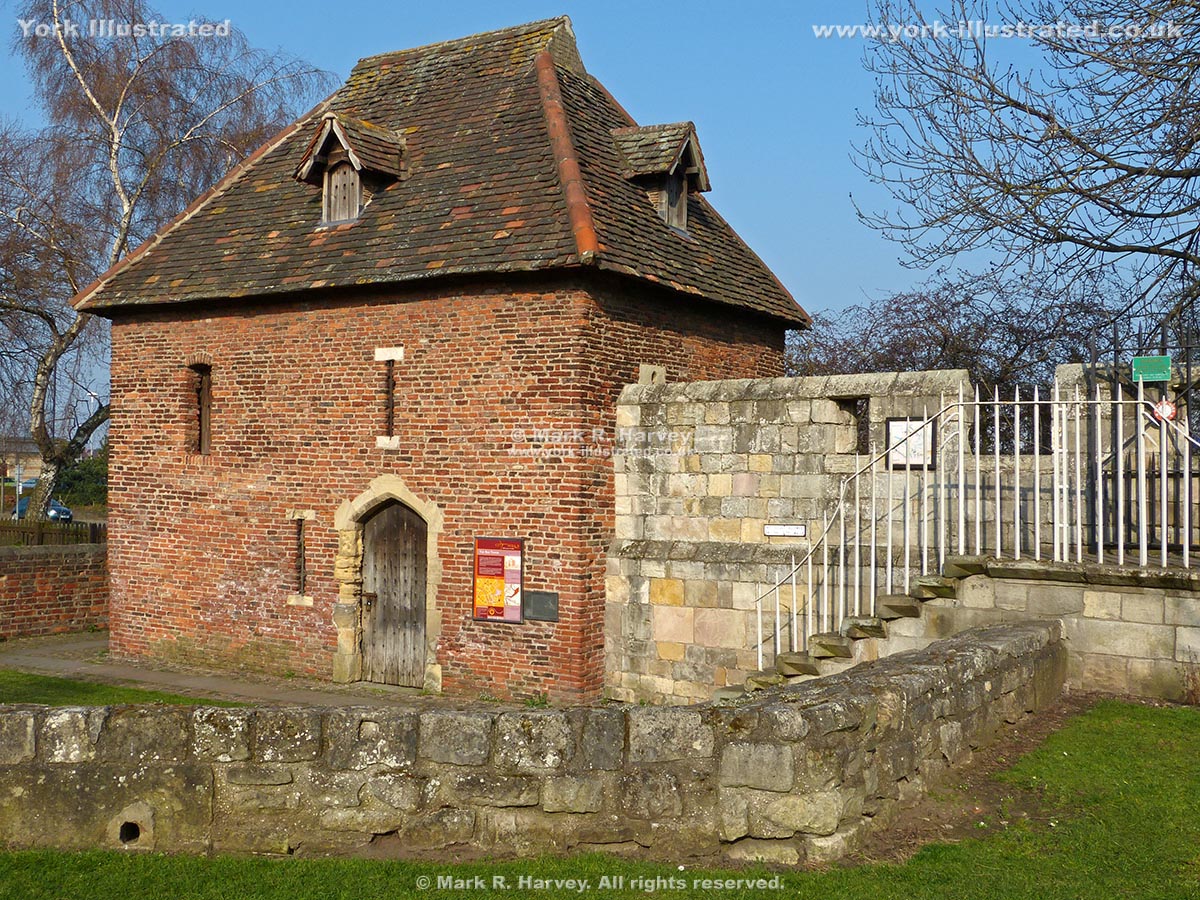
Ice House

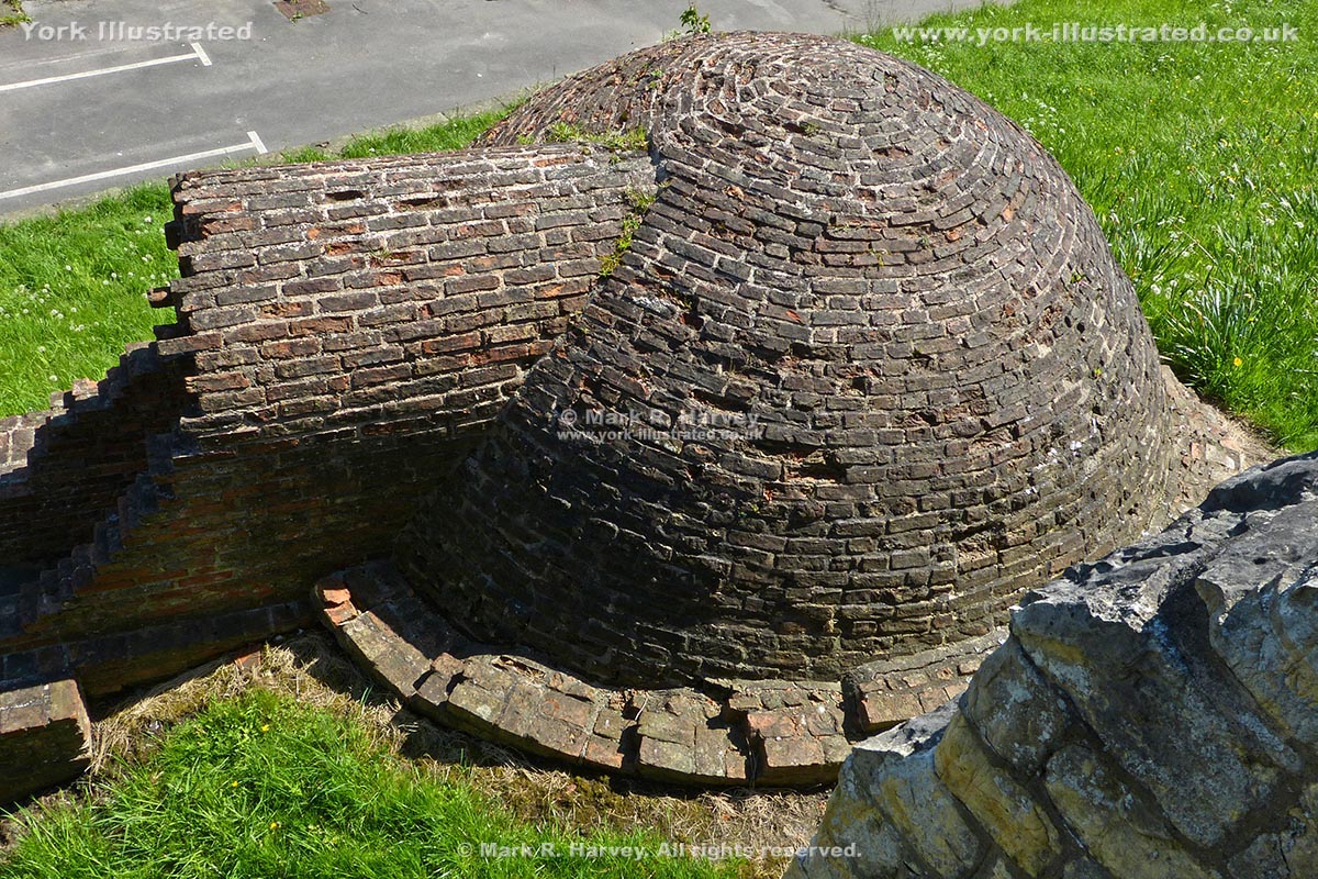
The Ice House is partially buried within the rampart (earth bank) beside the northern section of York's City Wall. Most visitors see it from the Wall Walk.

Read more

Photo as per caption. Opens larger version.

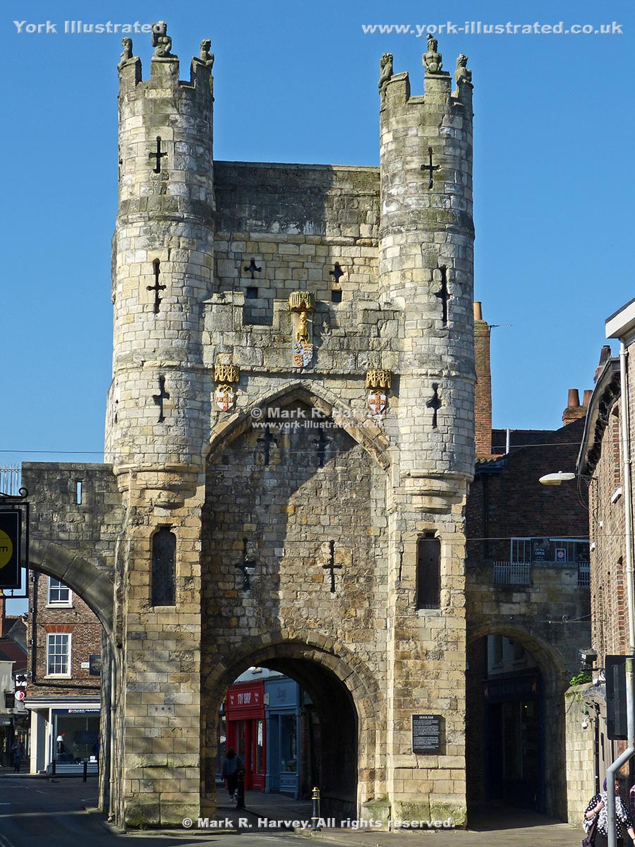
Monk Bar

Monk Bar is the tallest and strongest of the York's four main gateways. It was built in the 14th - 15th centuries to protect the city's northeastern approaches.

Read more

Photo as per caption. Opens larger version.

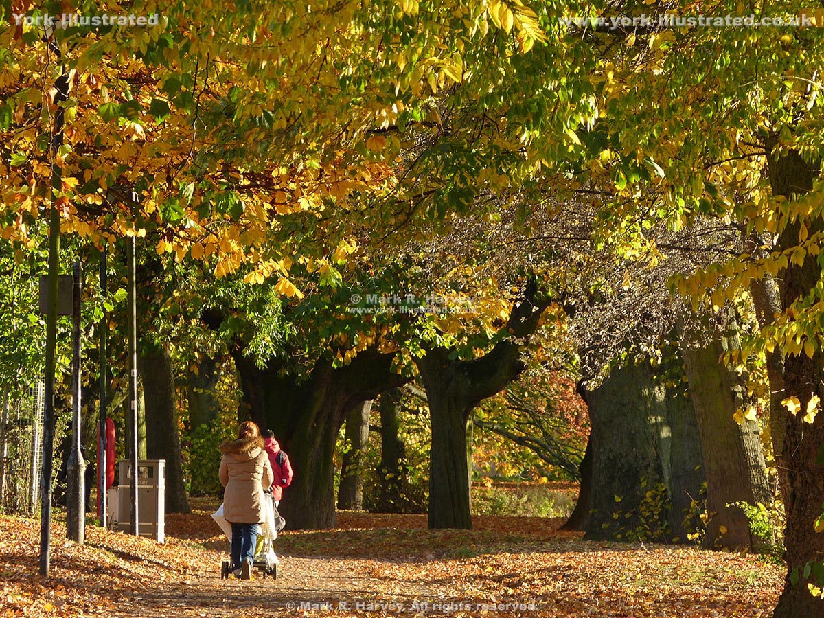
New Walk

The New Walk is a ¾ mile (1.2 km) long riverside footpath and cycle route linking Tower Gardens and the South Esplanade with the Millennium Footbridge.

Read more

Photo as per caption. Opens larger version.

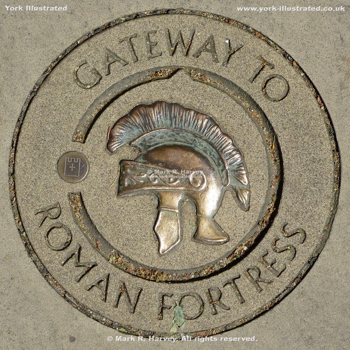
Pavement Marker for Roman Fortress Northeast Gateway (Porta Decumana)

A marker carved into a paving slab on the Wall Walk to indicate the approximate location of the Porta Decumana (the northeast gateway of the Roman fortress).

Photo as per caption. Opens larger version.

Pikeing Well

Pikeing Well is a Grade II listed well house on the site of 'a remarkably fine spring of clear water'. The water was said to have 'medicinal properties'.

Read more

Photo as per caption. Opens larger version.

Red Tower

The Red Tower was built circa 1490 to strengthen the city's defences where the south eastern section of the city wall terminated at the edge of the King's Fishpond.

Photo as per caption. Opens larger version.

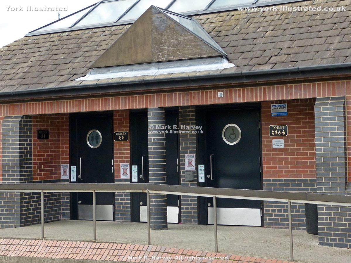
St George's Field Public Toilets

These quiet conveniences primarily serve the car-park, but they are relatively close to the New Walk (handy to note if you are using the riverside path).

Read more

Photo as per caption. Opens larger version.

Tower 27 (aka Robin Hood Tower)

Tower 27 (a.k.a. Robin Hood Tower) is located at the northernmost corner of York's City Walls. It was built by the Victorians to provide a viewing platform.

Read more

Photo as per caption. Opens larger version.

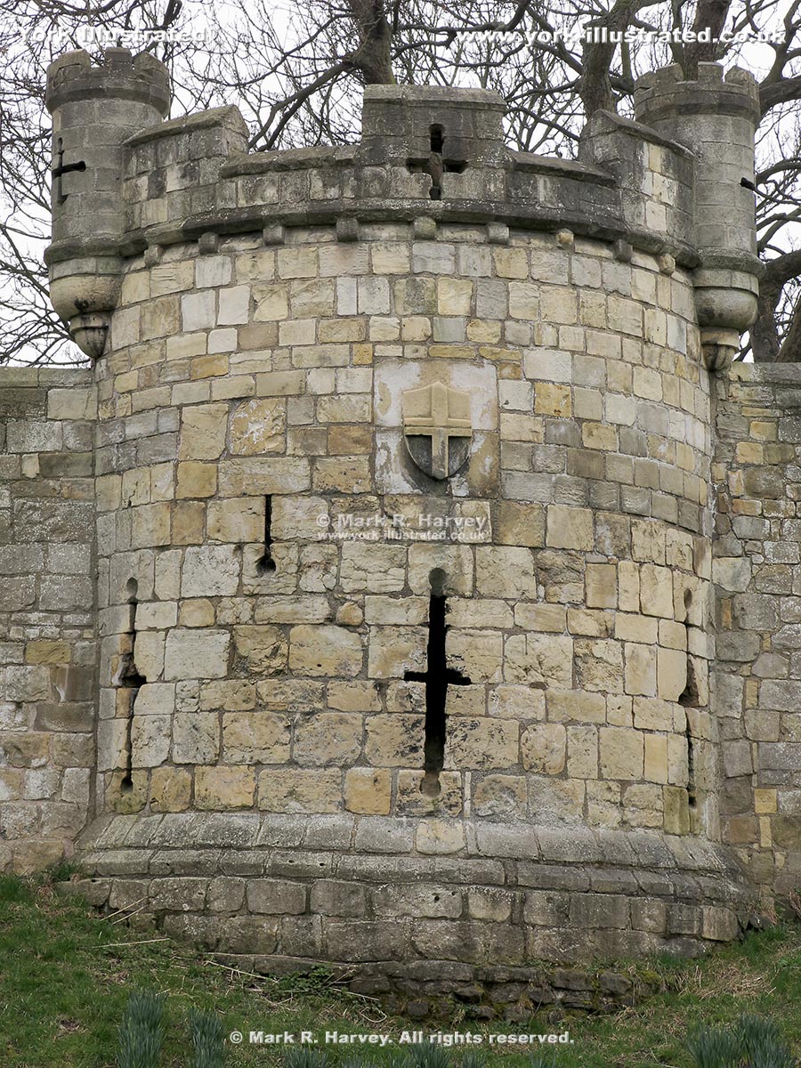
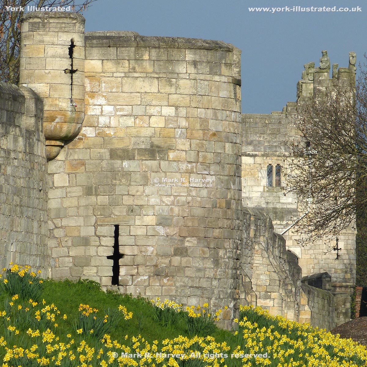
Tower 28

Tower 28 is an interval tower on the northern section of York's city wall. Its attractive 'pepperpot' turrets (added in 1887) are purely ornamental.

Photo as per caption. Opens larger version.

Tower 31 (aka Harlot Hill Tower)

Tower 31 may once have guarded a postern (small gateway) linking St. Andrewgate inside the walls with Love Lane outside.

Photo as per caption. Opens larger version.

Tower 32 (aka New Tower)

Tower 32 on the northern section of York's City Wall has been known as the 'New Tower' since at least 1380, so it's not really 'new' at all.

Read more

Pages