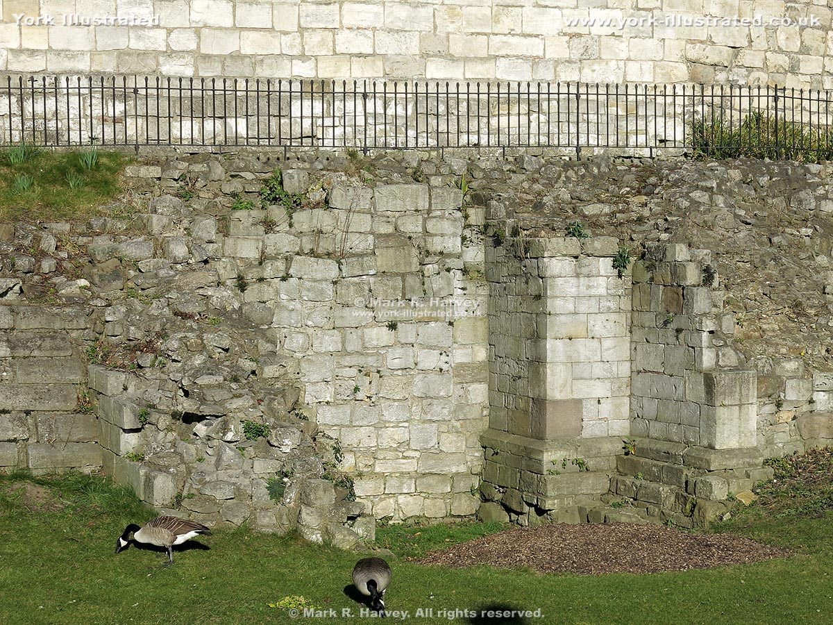
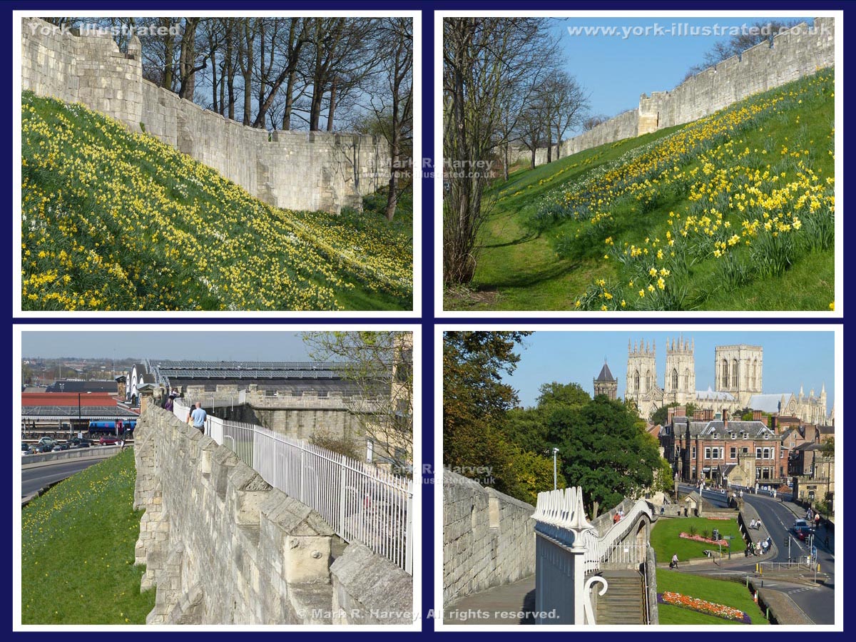
An introductory post consisting of a few short paragraphs, plus at least two images.

Show / hide tips
  • Every item classified with this term is included in this extract.
  • The items have been grouped by content type, then listed in alphabetical order.
  • To speed-up page-loading, a maximum of 24 locations are displayed on each page.
  • If there are more than 24 items, click / tap on the page navigation buttons (located below the list) to display the additional page(s).
  • To view a larger version of an image, click / tap on the image.
  • To view all available information and images for an item of content, click / tap on its title or 'Read More' link. (If a 'Read more' link is provided, a brief article and / or a high quality external link is available.)
  • To view the locations on interactive maps and aerial imagery, use the 'Explore' app.
Gazetteer Entry

Photo as per caption. Opens larger version.

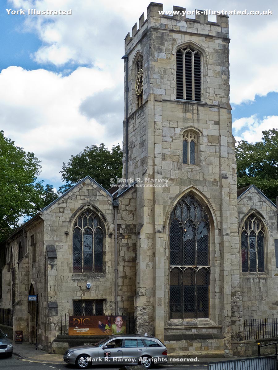
St Saviour's Church

St. Saviour's Church dates from the 15th century, but was mostly rebuilt in 1844-5. It now houses "DIG": a unique archaeology-based children's activity centre.

Read more

Photo as per caption. Opens larger version.

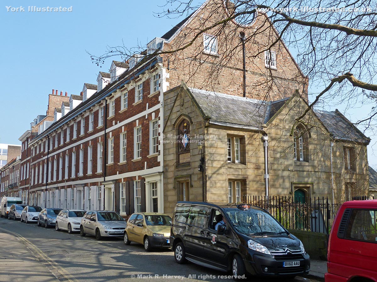
St Saviourgate

St Saviourgate is lined with an eclectic mix of buildings. The architectural styles range from modified medieval, through classic Georgian and Victorian, to brutalist 1960s concrete.

Read more

Photo as per caption. Opens larger version.

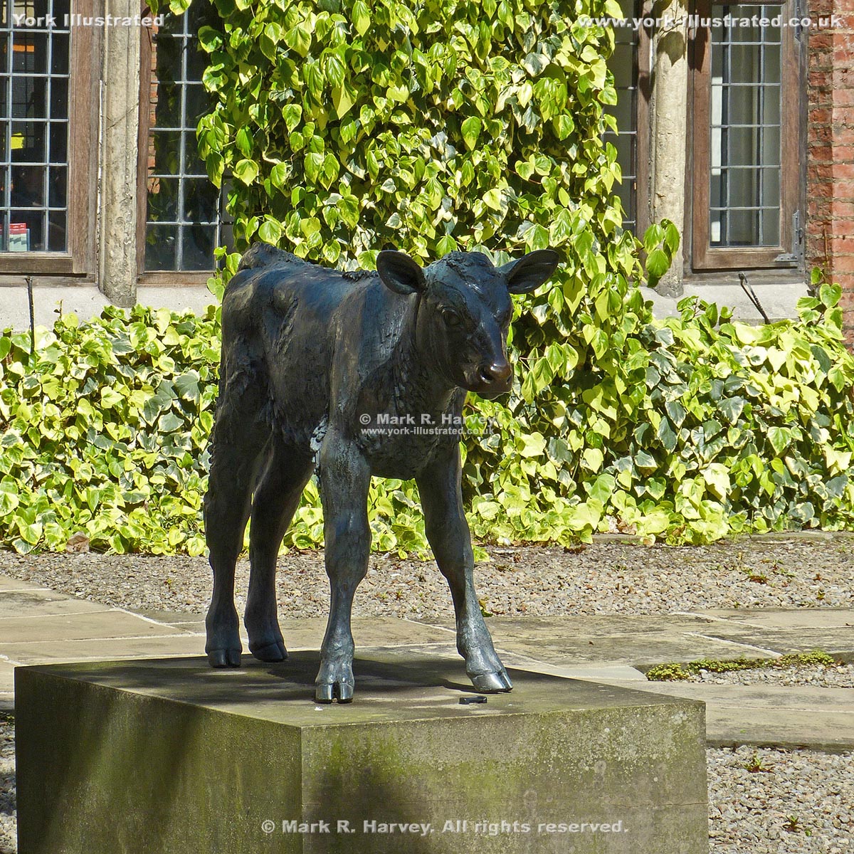
Statue of Friesian Bull Calf

This statue of a Friesian bull-calf was cast in bronze using the 'lost-wax' process from a clay master created by local artist Sally Arnup.

Read more

Photo as per caption. Opens larger version.

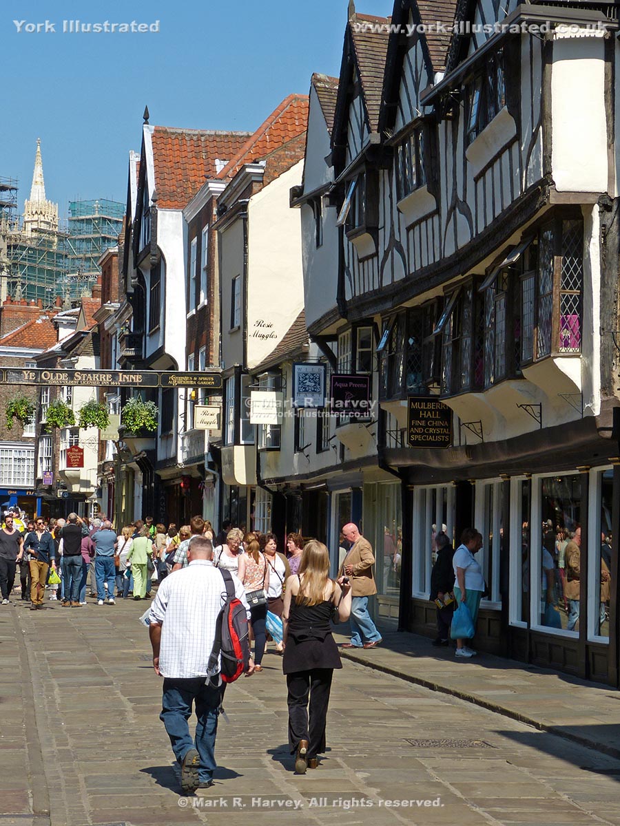
Stonegate

Stonegate is a pleasant pedestrianised street on the alignment of the Roman 'Via Praetoria'. It boasts architecture from Norman to Victorian periods.

Read more

Photo as per caption. Opens larger version.

Tactile Model of the York Minster Area

A useful and interesting 'tactile model' of the area surrounding York Minster has been installed in Minster Yard, near the Minster's West Front.

Read more

Photo as per caption. Opens larger version.

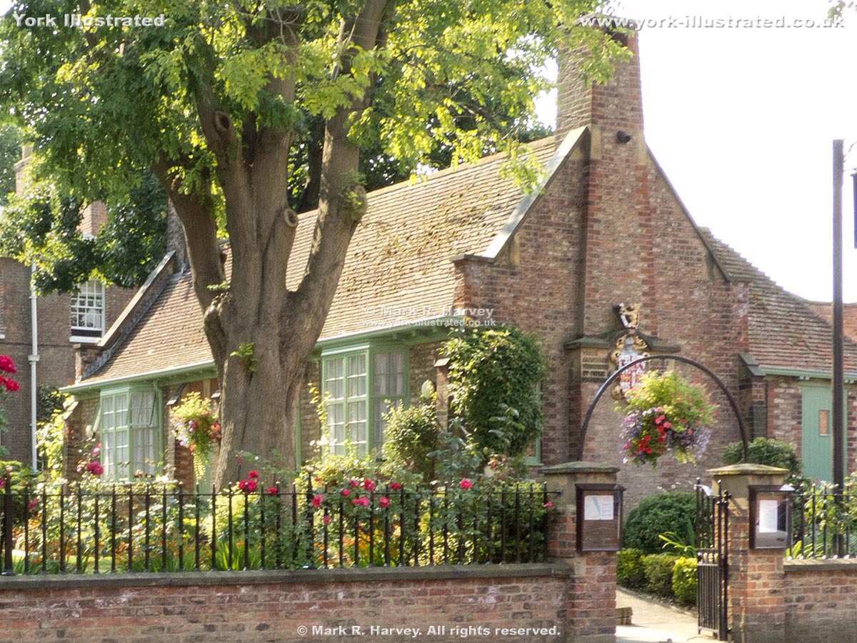
Terry Memorial Homes

These almshouses were funded by public subscription and built in 1899 in memory of Sir Joseph Terry (who died the previous year).

Read more

Photo as per caption. Opens larger version.

Tower 03 (aka Bitch-daughter Tower)

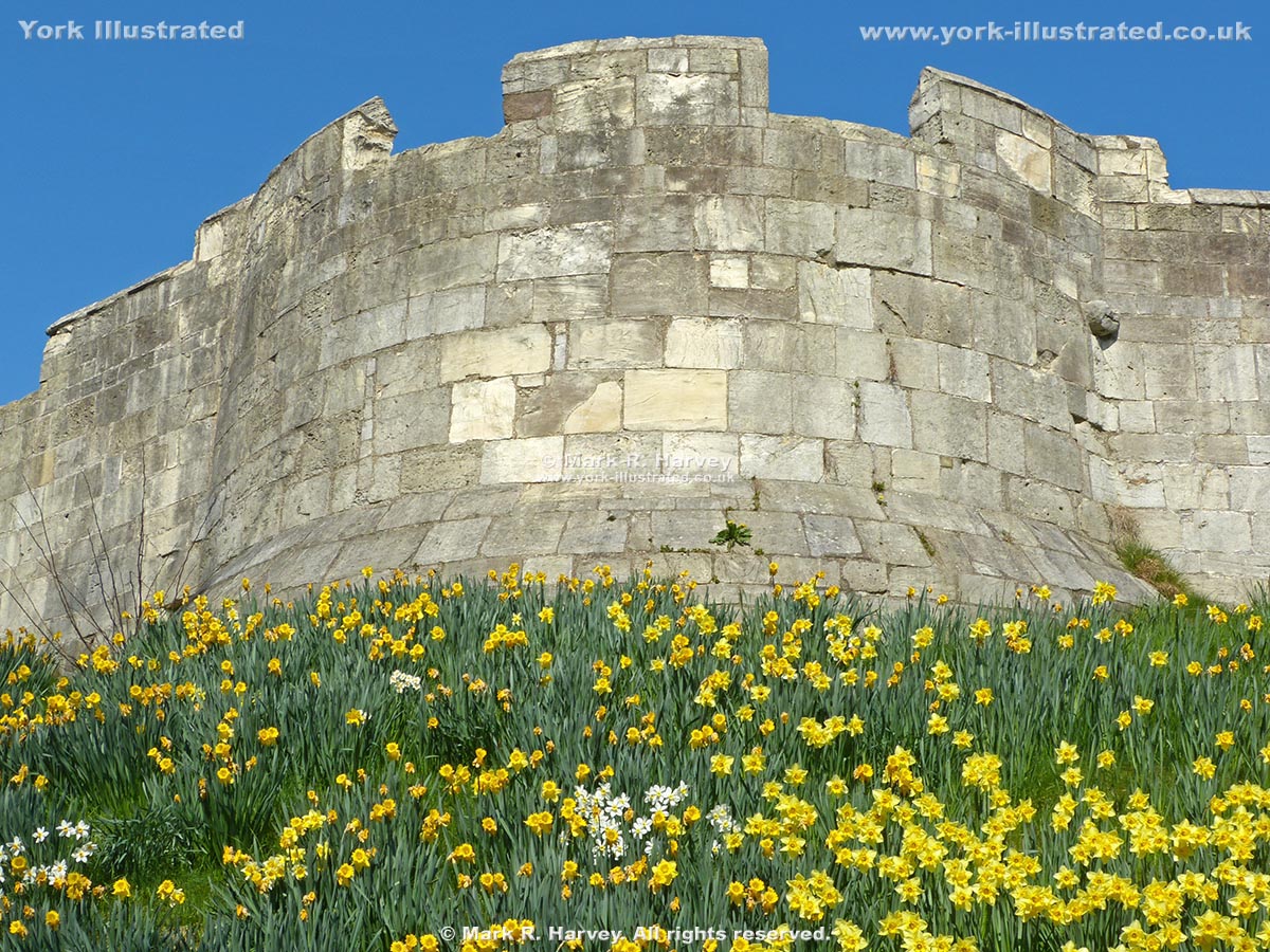
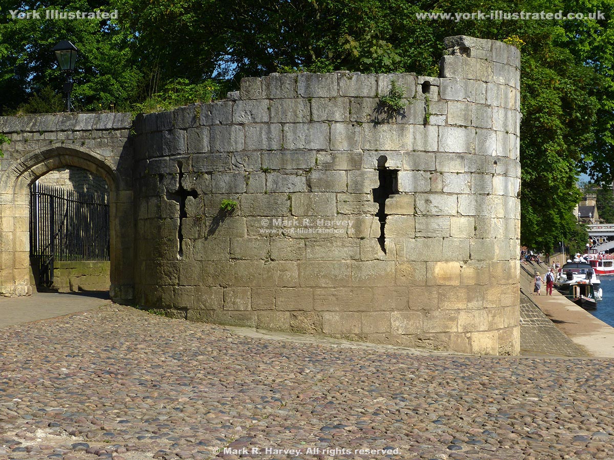
Bitch-daughter Tower on the south corner of York's City Walls has been used as a defensive corner tower, a gaol, a Civil War watch tower and a 'cow house'.

Read more

Photo as per caption. Opens larger version.

Tower 07 (aka Sadler Tower)

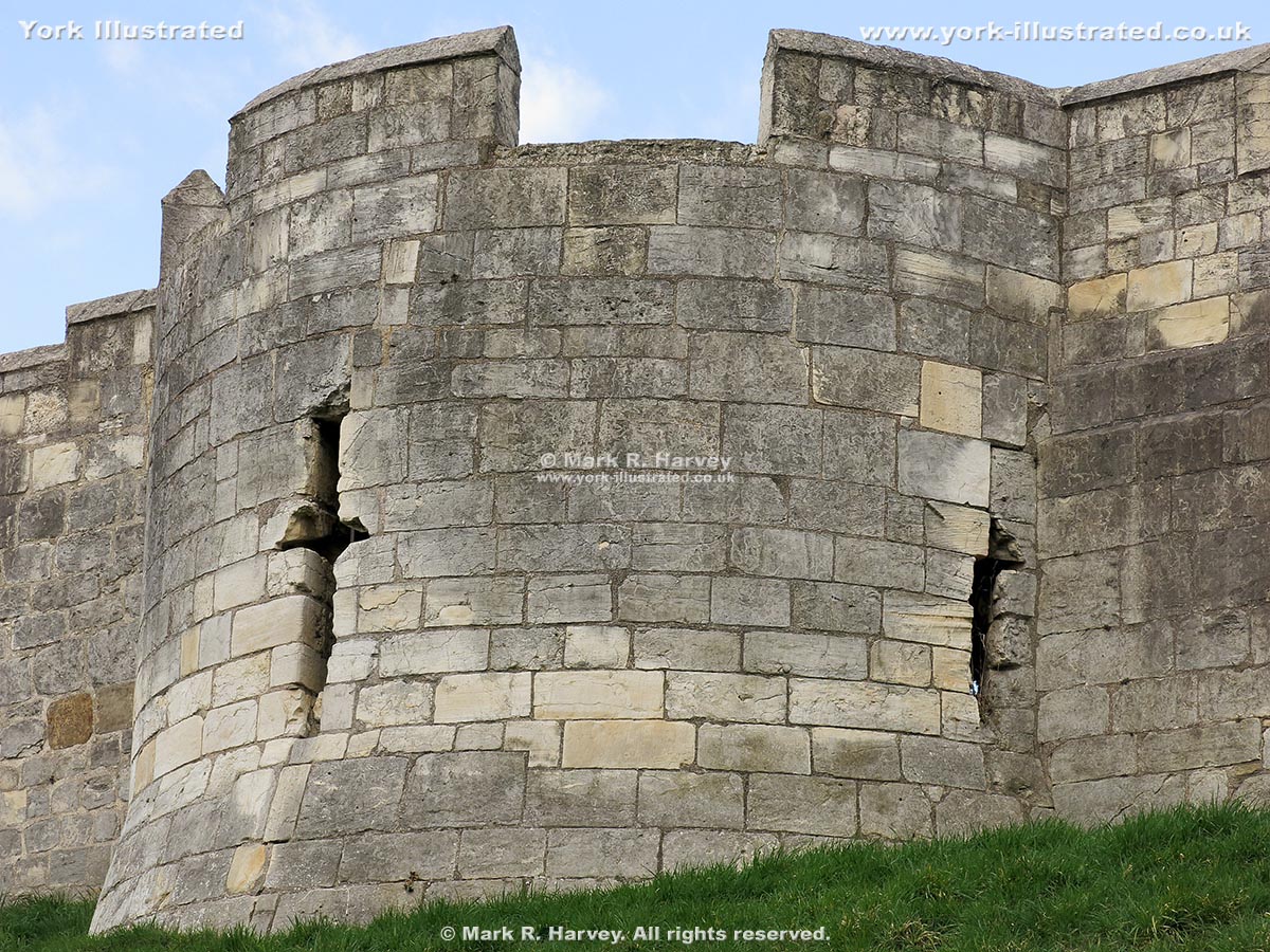
The base of Tower 7 is believed to have been built circa 1250-60, which would make it one of the oldest surviving interval towers on York's City Walls.

Read more

Photo as per caption. Opens larger version.

Tower 27 (aka Robin Hood Tower)

Tower 27 (a.k.a. Robin Hood Tower) is located at the northernmost corner of York's City Walls. It was built by the Victorians to provide a viewing platform.

Read more

Photo as per caption. Opens larger version.

Tower 32 (aka New Tower)

Tower 32 on the northern section of York's City Wall has been known as the 'New Tower' since at least 1380, so it's not really 'new' at all.

Read more

Photo as per caption. Opens larger version.

Tower 34 (aka Lathorp Tower or Layerthorpe Tower)

Tower 34 (aka Lathorp or Layerthorpe Tower) was constructed in 1370 to strengthen an angle in York's City Wall. Its unique design incorporates re-used stonework.

Read more

Photo as per caption. Opens larger version.

Tower 39

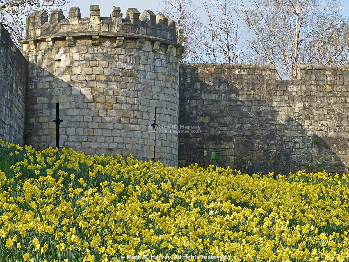
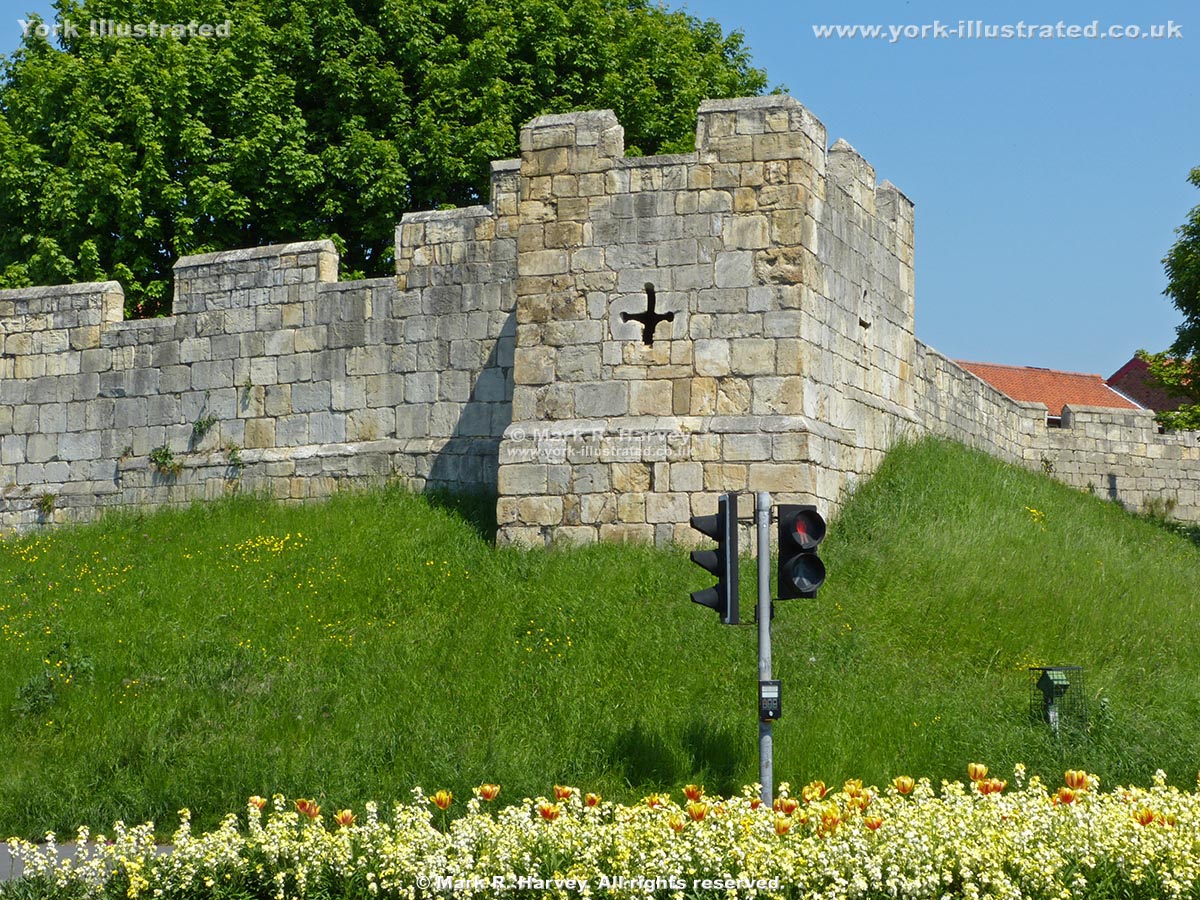
Tower 39 was constructed circa 1345 (at the same time as the adjoining sections of York's City Wall). It was altered to support artillery in the 17th-century.

Read more

Photo as per caption. Opens larger version.

Tower Gardens

The mature trees, colourful shrubs, and convenient location (between Clifford's Tower and the River Ouse) make Tower Gardens a popular spot on a warm sunny day.

Read more

Photo as per caption. Opens larger version.

Victoria Bar

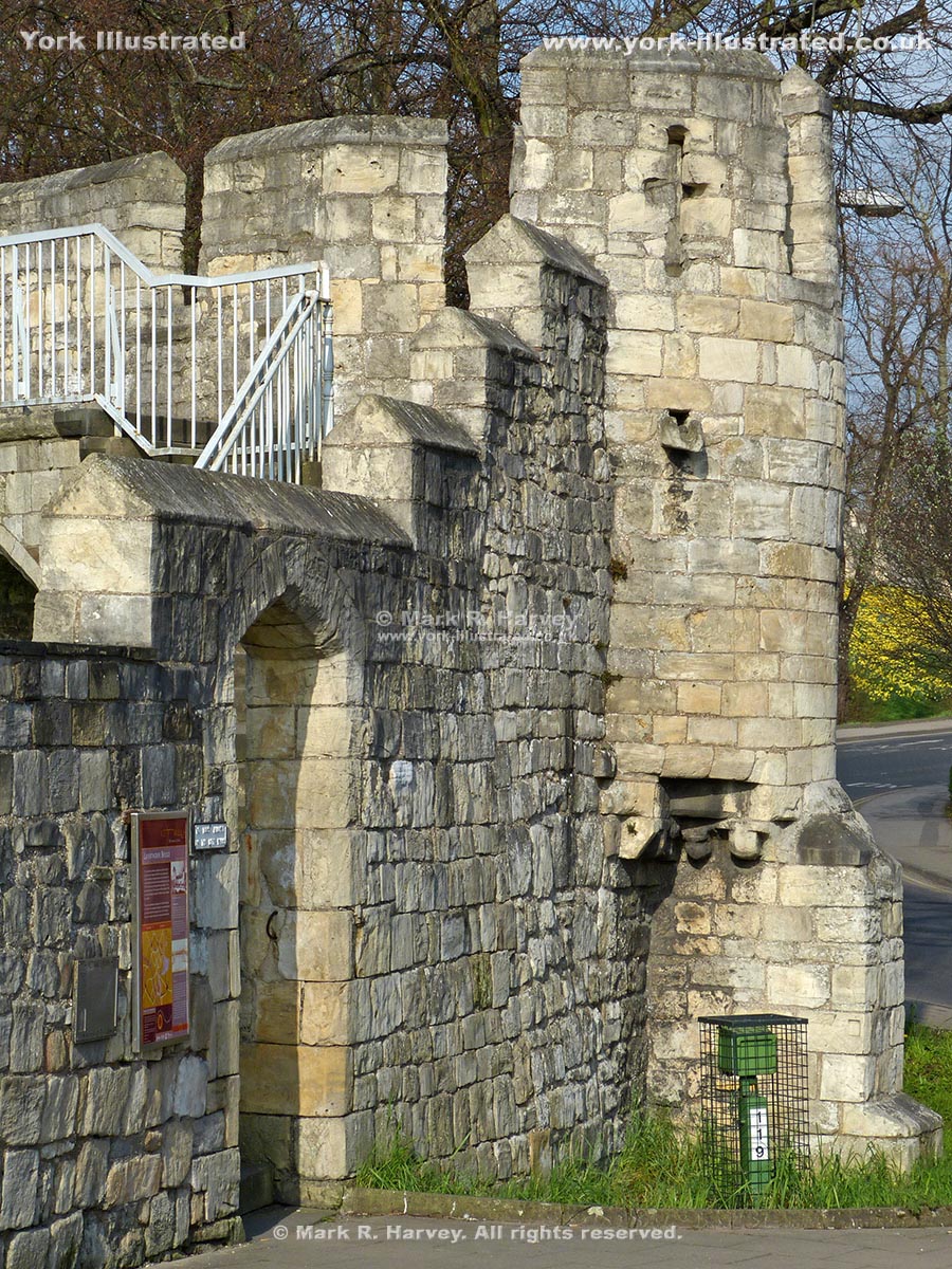
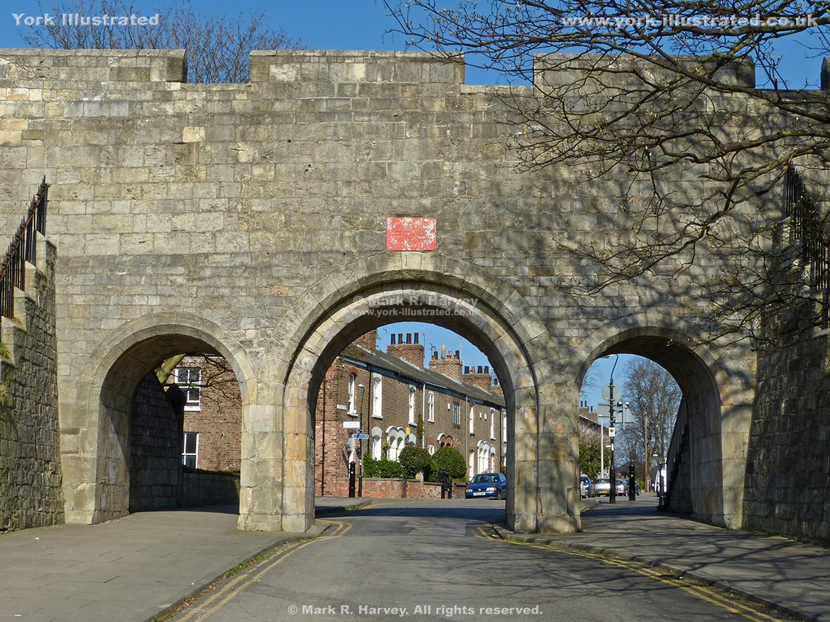
The central arch of Victoria Bar was inserted into a plain section of York's City Wall in 1838. During the work, the remains of an earlier gate were discovered.

Read more

Photo as per caption. Opens larger version.

Water Tower

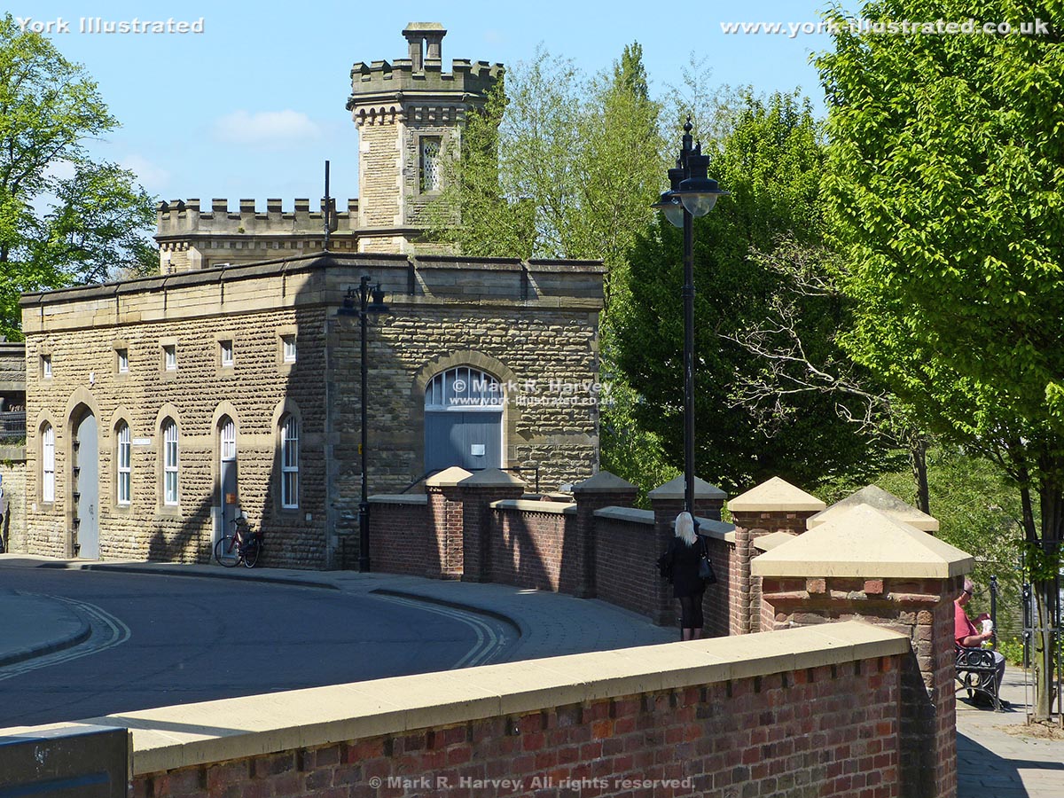
The Water Tower (aka Marygate Landing Tower) was built beside the River Ouse circa 1320 - 1324 during works to strengthen the defences of St Mary's Abbey.

Read more

Photo as per caption. Opens larger version.

Wellington Row

Wellington Row originated in the early 19th century as a row of back-to-back houses. The name commemorates the Duke's victory at the Battle of Waterloo.

Read more

Photo as per caption. Opens larger version.

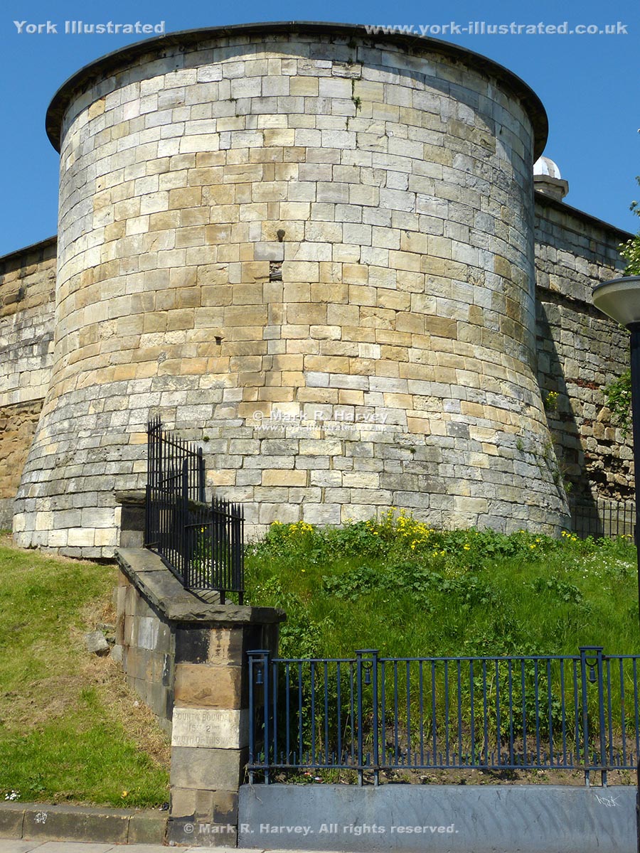
York Castle Inner Bailey South Angle Tower

The South Angle Tower forms part of the perimeter defences for York Castle's inner bailey. It was built in the thirteenth century on the orders of Henry III.

Read more

Photo as per caption. Opens larger version.

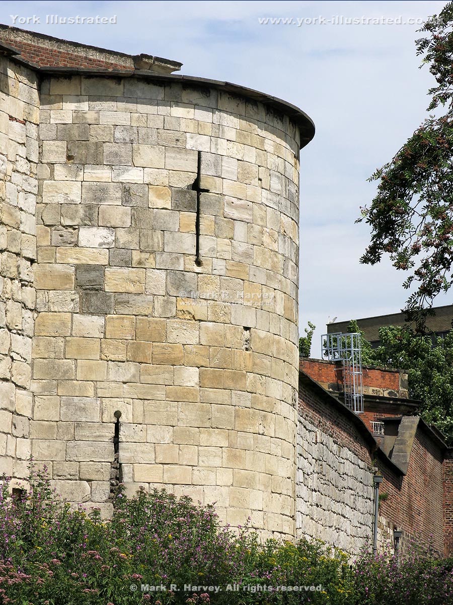
York Castle Inner Bailey Southeast Tower

The semicircular Southeast Tower forms part of the 13th century perimeter defences for York Castle's inner bailey. The standing remains are all grade I listed.

Read more

Photo as per caption. Opens larger version.

York Castle Inner Bailey Walls

During the 13th-century, many of York Castle's timber fortifications were rebuilt in stone. The inner bailey walls are believed to date from this period.

Read more

Photo as per caption. Opens larger version.

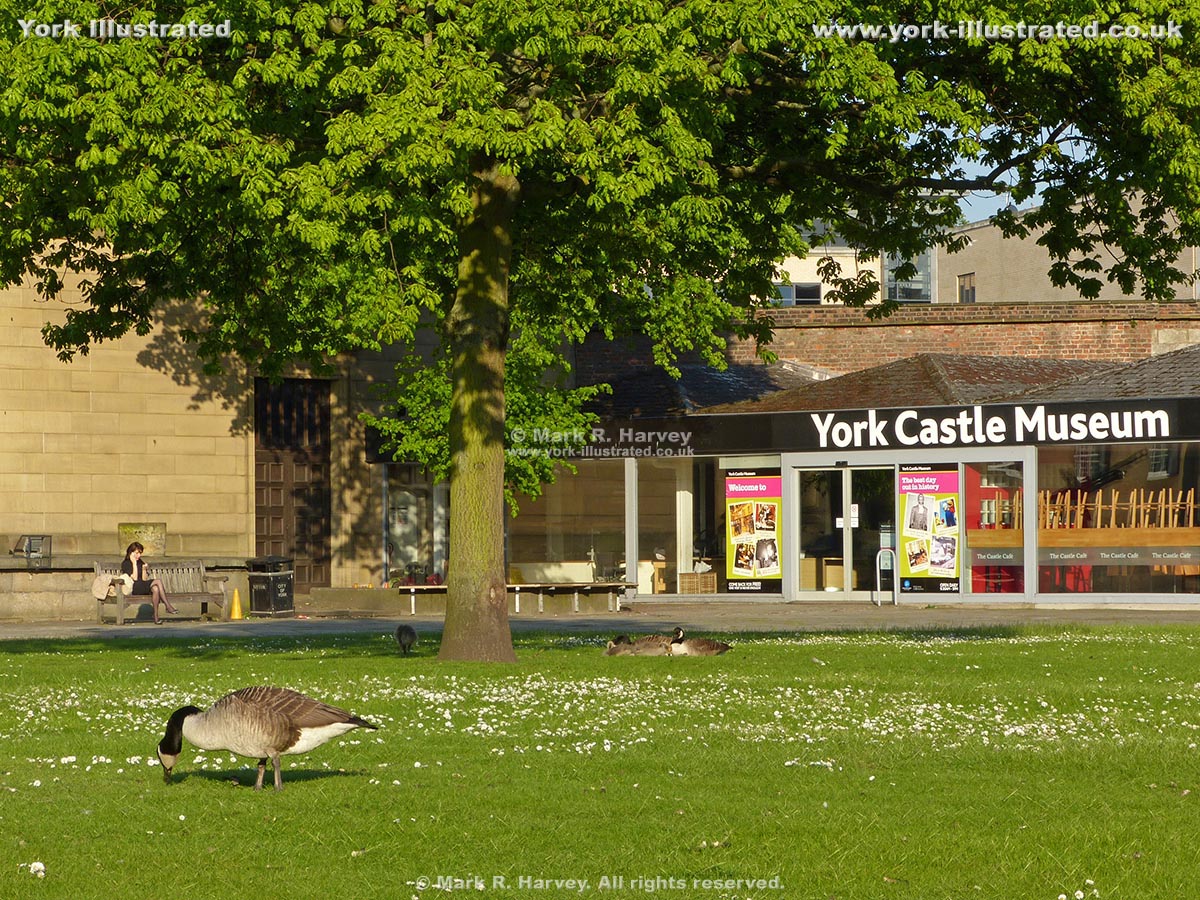
York Castle Museum

York Castle Museum stands within the grounds of York Castle (hence its name). The museum focusses on social history and the everyday lives of Yorkshire people.

Read more

Photo as per caption. Opens larger version.

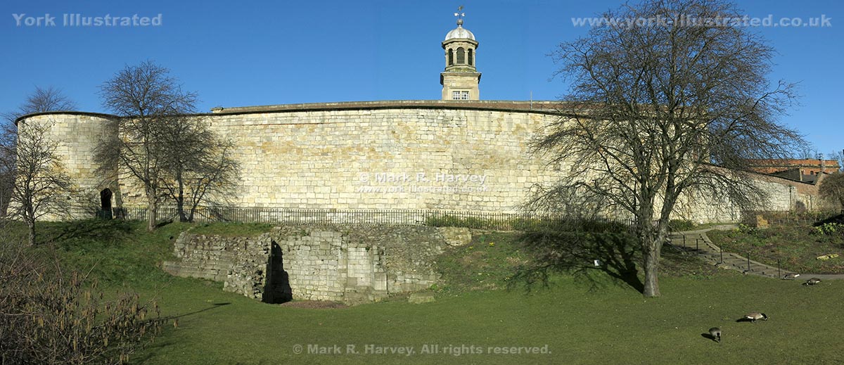
York Castle South Gate Foundations and Drawbridge Pit

The only remains of York Castle's 14th century south gate are the foundations and part of the 12 feet deep drawbridge pit. The rest was demolished circa 1701-1708.

Read more

Photo as per caption. Opens larger version.

York City Walls (North)

The northern section of York's defensive City Wall runs from Bootham Bar to Lathorp Tower via Robin Hood's Tower, Monk Bar, Harlot Hill Tower and New Tower.

Read more

Photo as per caption. Opens larger version.

York City Walls (Southeast)

The southeastern section of York's defensive City Wall runs from the Red Tower to York Castle via Walmgate Bar, Fishergate Bar and Fishergate Postern Tower.

Read more

Photo as per caption. Opens larger version.

York City Walls (Southwest)

The southwestern section of York's defensive City Wall runs from York Castle to Barker Tower via Bitchdaughter Tower, Micklegate Bar and Toft's Tower.

Read more

Pages